Warm Weekend On Tap
|
Sat. |
Sun. |
Mon. |
Tue. |
Wed. |
Thr. |
Fri. |
|
|
|
|
|
|
|
|
|
43/ 75 |
59/ 76 |
42/ 66 |
31/ 42 |
28/ 50 |
32/ 62 |
44/ 60 |
|
– – – |
Light |
Light |
– – – |
– – – |
– – – |
Light |


Custom IndyWx.com Forecast Updated 04.12.14 @ 8:16a
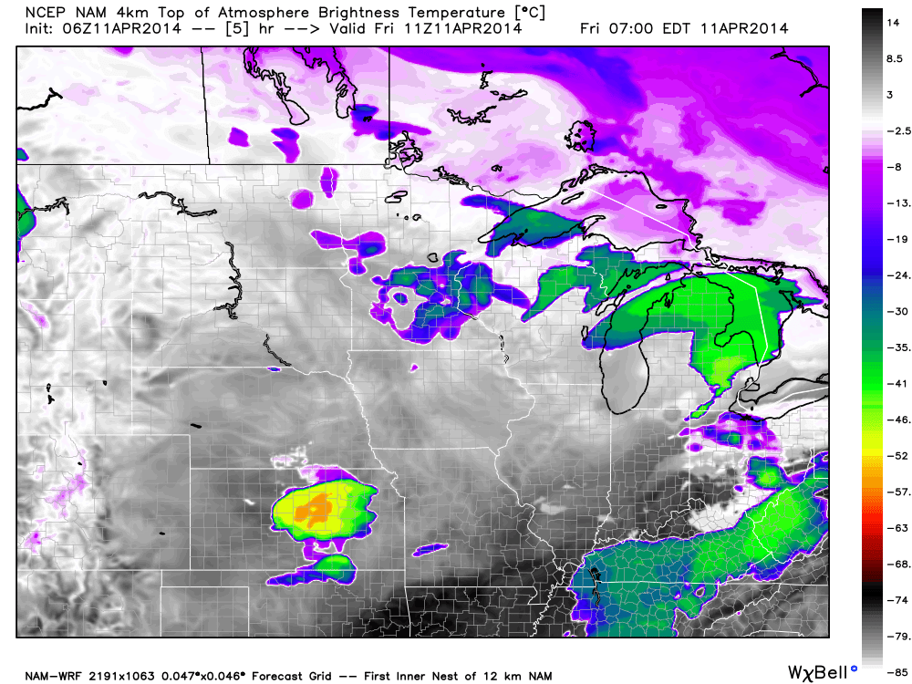
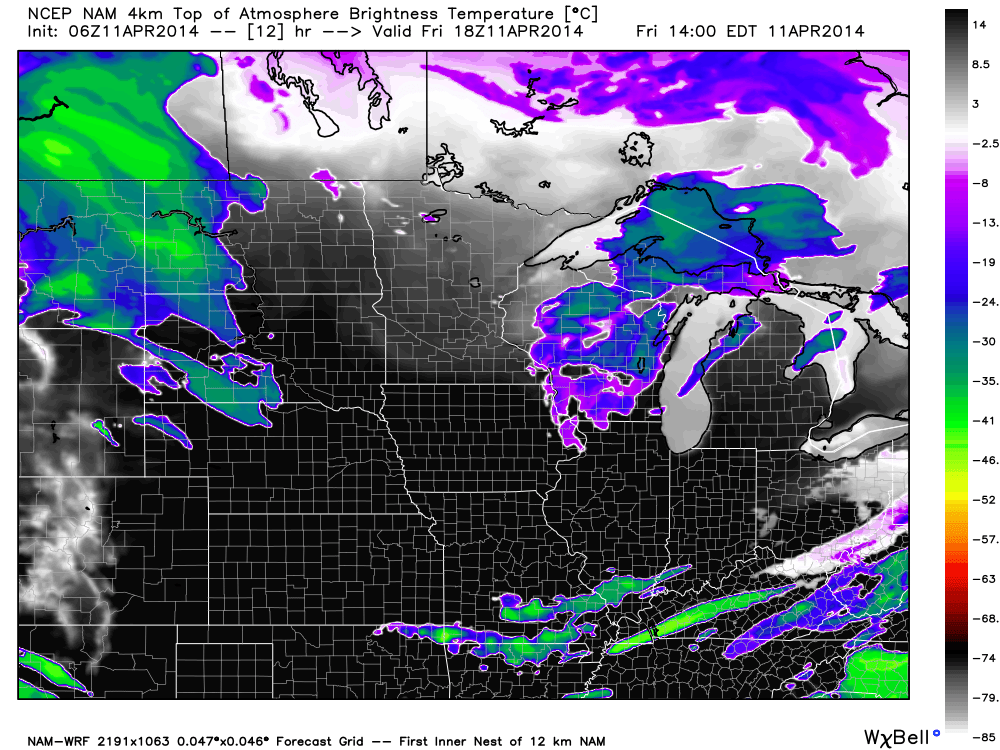
Warm Spring Weekend. . .After a chilly start to your Saturday, temperatures will quickly warm on a developing southerly breeze and that powerful April sunshine. We note that moisture will begin to increase through the afternoon and evening hours and this may help trigger a widely scattered shower. That said, the majority of neighborhoods will remain dry and rain-free today. Enjoy what will be a beautiful spring day!
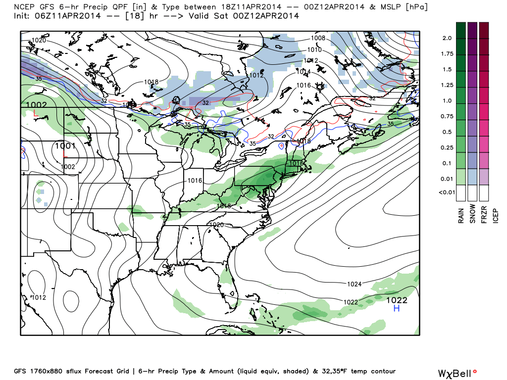
Strong southwest winds will howl Sunday, but the majority of the day will be dry and include a partly to mostly cloudy sky. A passing shower is possible during the day, but, similar to Saturday, most will remain rain-free. Better rain and storm chances will arrive late Sunday night into Monday.
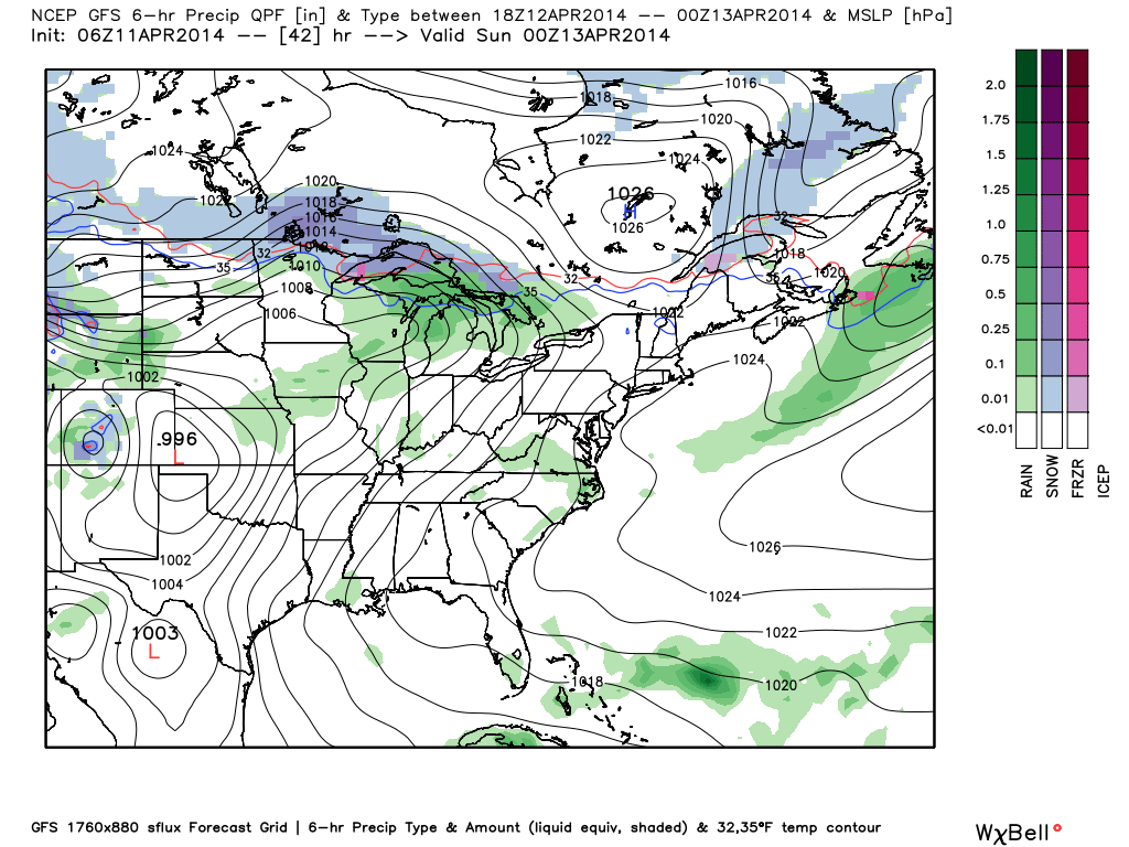
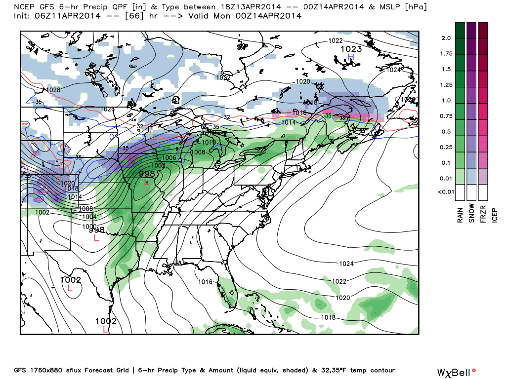
Cold Frontal Passage. . .A cold front will move through the region Monday. Ahead of this boundary, widespread showers and embedded thunderstorms will rumble through the area late Sunday night into Monday. Today’s model data has trended downward on rainfall numbers and our forecast will follow suit. We forecast anywhere from one half to three quarters of an inch of rain with this system.
Colder Air Moving In. . .A much colder air mass will pour in on a gusty northwest breeze Monday evening and Tuesday. Temperatures will run close to 20 degrees below normal Tuesday and a hard freeze is ahead for Wednesday morning.
Moderating Back To Seasonal Levels. . .Temperatures will quickly begin to moderate by mid to late week as we get back into a milder southwesterly air flow. We’ll introduce shower chances back into your forecast next Friday as the next weather system draws closer to our region.
Upcoming 7-Day Precipitation Forecast:
- 7-Day Rainfall Forecast: 0.75-1″
- 7-Day Snowfall Forecast: 0.00″
 For weather updates and more “behind the scenes” data on the go, be sure to Follow Us on Twitter @indywx or become a Friend of IndyWx.com on Facebook!