
 Highlights:
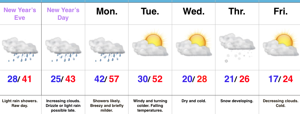
- Raw New Year’s Eve
- Briefly milder Monday with showers
- Snow prospects mid week
Busy Times…Clouds will increase late tonight and give way to showers during the daytime New Year’s Eve. Most of this shower activity will be light, but you’ll want to carry the rain gear with you as you leave for New Year’s Eve parties and celebrations throughout central IN. Once to the nighttime hours, showers should diminish and most of the nighttime should feature rain-free conditions, along with colder temperatures.
New Year’s Day may start out with some sunshine, but clouds will increase through the day and drizzle or light rain is possible by evening. Low pressure will track northeast from the central Plains into the upper Mid West Monday. This will place Indiana in a relatively warm southwest flow. Periods of showers can be expected through the day, along with breezy conditions. An accompanying cold front will sweep through the state early Tuesday morning and shut rain chances off, shift winds to the northwest, and lead to falling temperatures.
Wednesday will be a day in between storm systems. Cold high pressure will settle into the Ohio Valley and supply unseasonably chilly temperatures, but with sunshine.
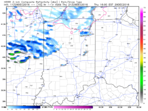
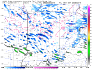
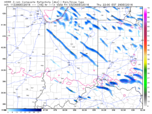
Our next storm system will approach Thursday. Clouds will increase Wednesday night and give way to an expanding snow shield during the day Thursday. We still have a few days to look at things, but from this distance, the potential is present for an impactful wintry event across a widespread portion of the Ohio Valley, including central Indiana. Stay tuned. Fresh arctic air will move in to put a close on yet another short work week.
Upcoming 7-Day Precipitation Forecast:
Snowfall: 1″ – 3″
Rainfall: 0.75″ – 1.25″

 The heavy, dense, arctic air will win out as evening turns into nighttime. Indianapolis is back to the freezing mark around 6p and into the 20s by 9p.
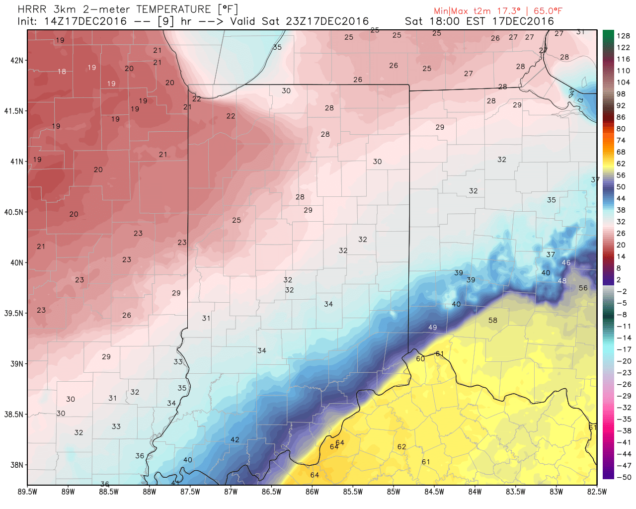
 Temperatures will continue to fall through the day Sunday and by Monday morning central Indiana will be in the single digits, with below zero readings across northern parts of the state.
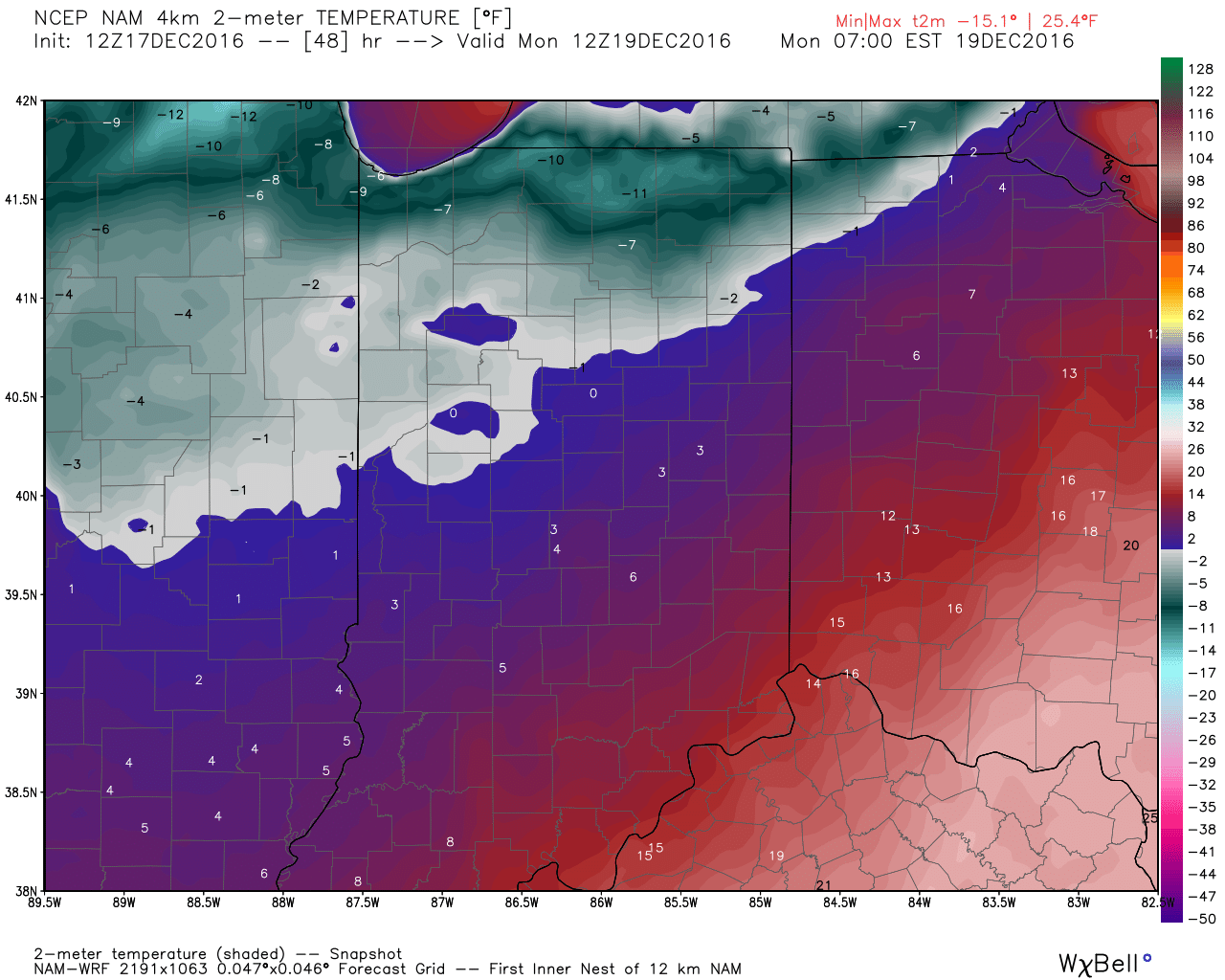 Wind chill values of 10 to 20 degrees below zero will be common by Sunday night into Monday morning across central Indiana.
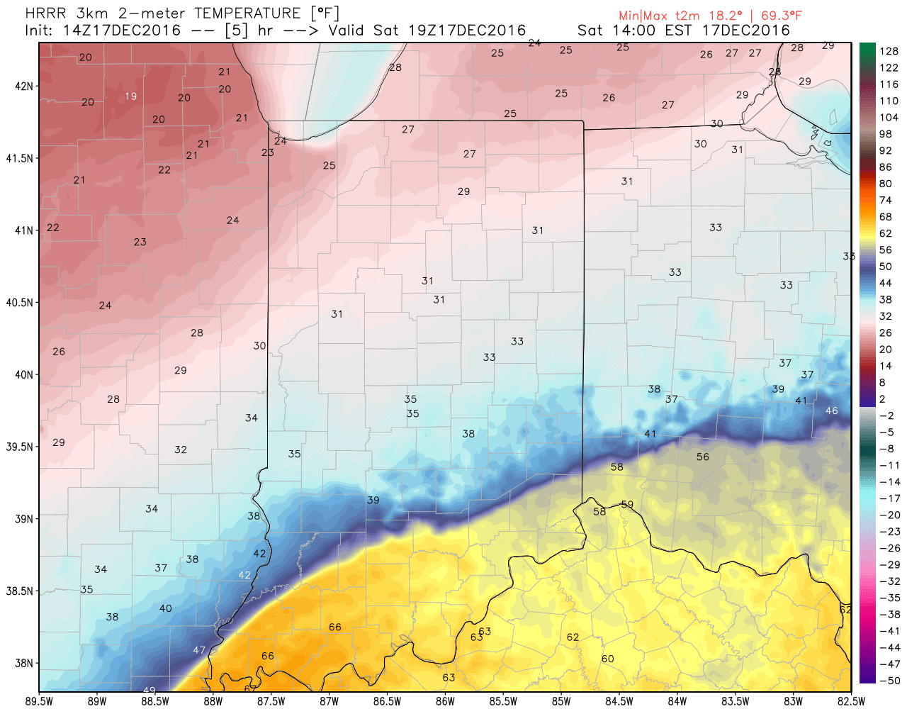
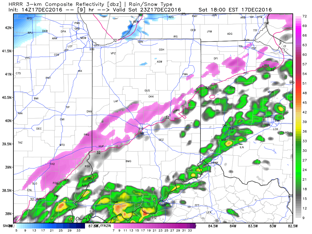
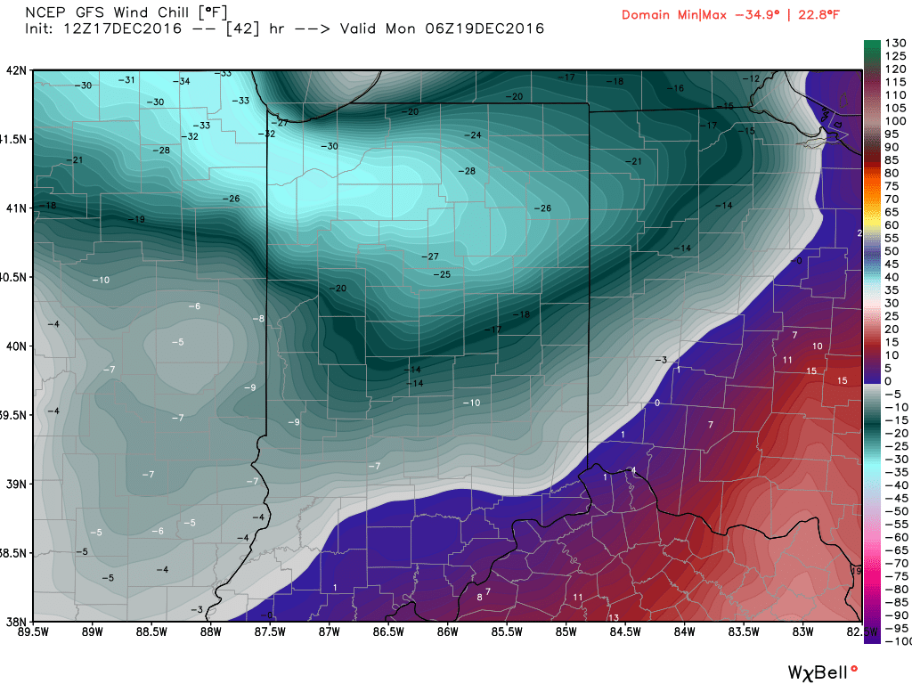 Areas of drizzle and freezing drizzle will continue across the region into the early afternoon, but begin to expand in coverage and intensity once again by evening. Note the area of freezing rain expand across central IN, including Indianapolis, between 4p and 7p.
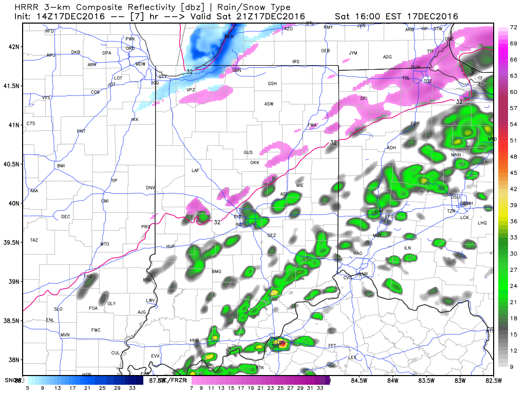
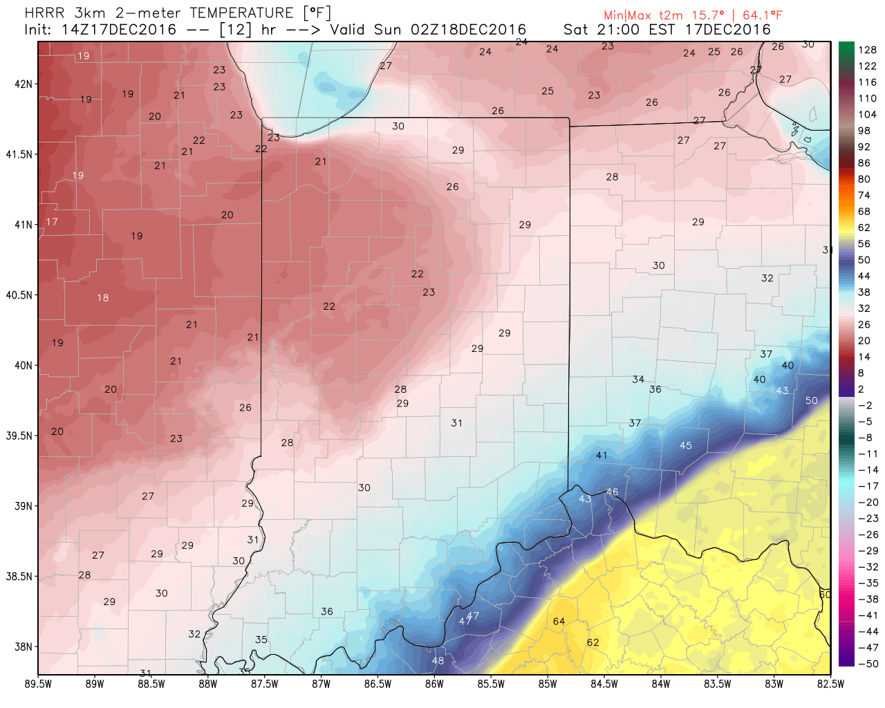
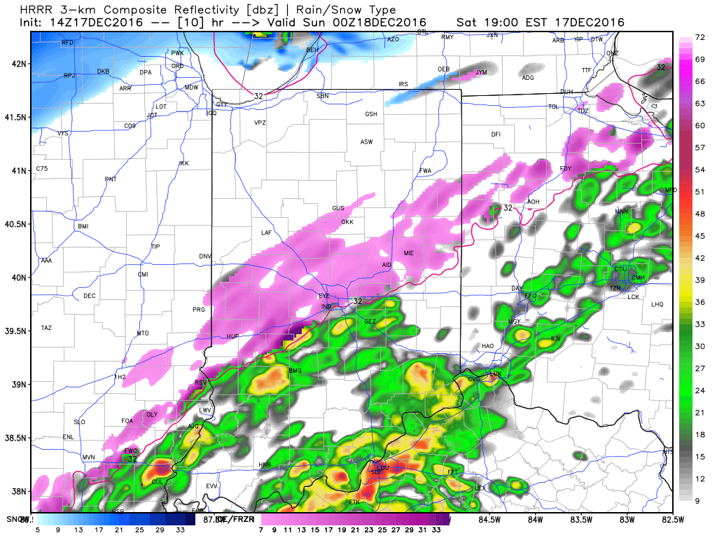 Freezing rain will eventually begin to mix with sleet and eventually transition to light snow during the overnight from northwest to southeast. A coating of snow to less than 1″ is a good bet on the new icy glaze that develops tonight.