Brief Thaw; Severe Winter Event Looms For A Portion Of The Region…
 Highlights:
- Fog and drizzle
- Major winter storm looms
- Frigid air returns
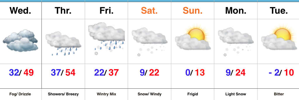
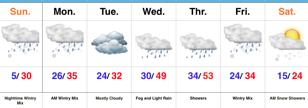
Brief Thaw; Major Winter Storm On Deck…The short-term will be dominated by low clouds and areas of fog, along with patchy drizzle. Areas of freezing fog and drizzle are possible early Wednesday morning before conditions “warm” in earnest through the afternoon and evening.
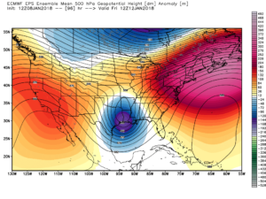
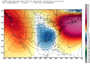
A cold front will approach from the northwest Thursday with showers and gusty southerly winds. This southerly air flow will deliver a briefly milder time of things during the day Thursday before the cold front settles south Thursday night. As this transpires, surface low pressure will organize along the southern end of the boundary before tracking northeast into the Tennessee and Ohio Valley Friday into Saturday.
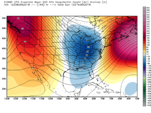
We continue to favor a track up west of the spine of the Appalachians and note some of the more progressive data is beginning to correct west to align closer with the other guidance that’s been spitting out big snow numbers over the past few days. Before we discuss snow, an icy mixture of sleet and freezing rain will fall across the region late Thursday night into early Friday. We expect precipitation to transition to all snow Friday afternoon, continuing into Saturday. At times, heavy snow is likely.
While we aren’t ready to lay out an accumulation map just yet, the heaviest snow axis will likely include 8″ to 12″+ amounts somewhere through central portions of the state. We’ll aim to provide a first call snowfall map this time tomorrow. Furthermore, there will also be a wind component to this storm. What’ll initially be a wet, heavy snow will turn more “powdery” in nature as arctic air gets pulled into the storm. That powder will get blown and drifted about Friday night and Saturday and travel will be significantly impacted.
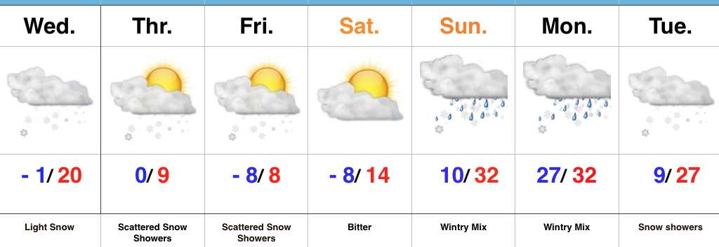
Frigid conditions will return over the weekend before another accumulating snow pushes into town Monday. Behind this snow maker, a brutal push of sub-zero air is likely next week.
Upcoming 7-Day Precipitation Forecast:
- Snowfall: 6″+
- Rainfall: 0.50″ to 0.75″
 Highlights:
 Highlights: