Tuesday Morning Rambles: A Lot To Talk About…

I. A cold front will slip through central Indiana this evening. After a high near 60 today, temperatures will be stuck in the 40s most of the day tomorrow. To add insult to injury, rain will overspread the state from the southwest late tonight into Wednesday morning.

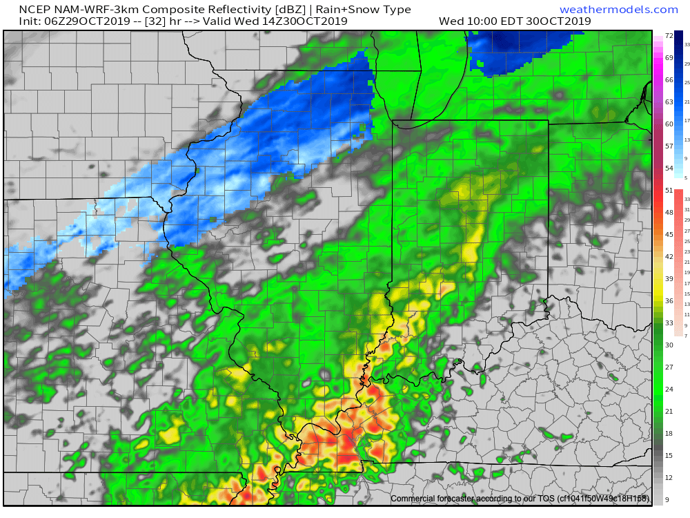
There will be brief lull in the rain Wednesday evening before rain becomes widespread yet again early Halloween morning. All total, many central Indiana rain gauges can anticipate around 1″ of rainfall with this storm system.

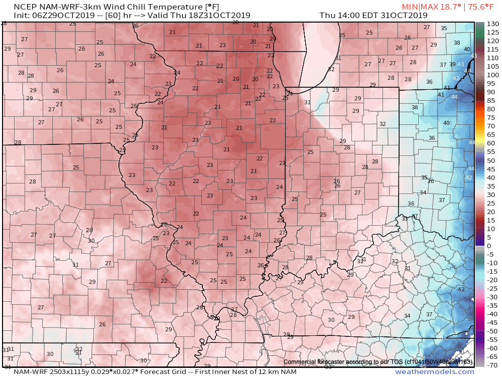
II. Speaking of Halloween, it’ll be important to dress warmly when out and about trick-or-treating Thursday evening. Falling temperatures, increasingly gusty winds, and snow flurries/ scattered snow showers can be expected. How cold? Temperatures will be falling into the lower 30s Thursday evening with a gusty wind (around 30 MPH) resulting in wind chills in the upper 10s to middle 20s.
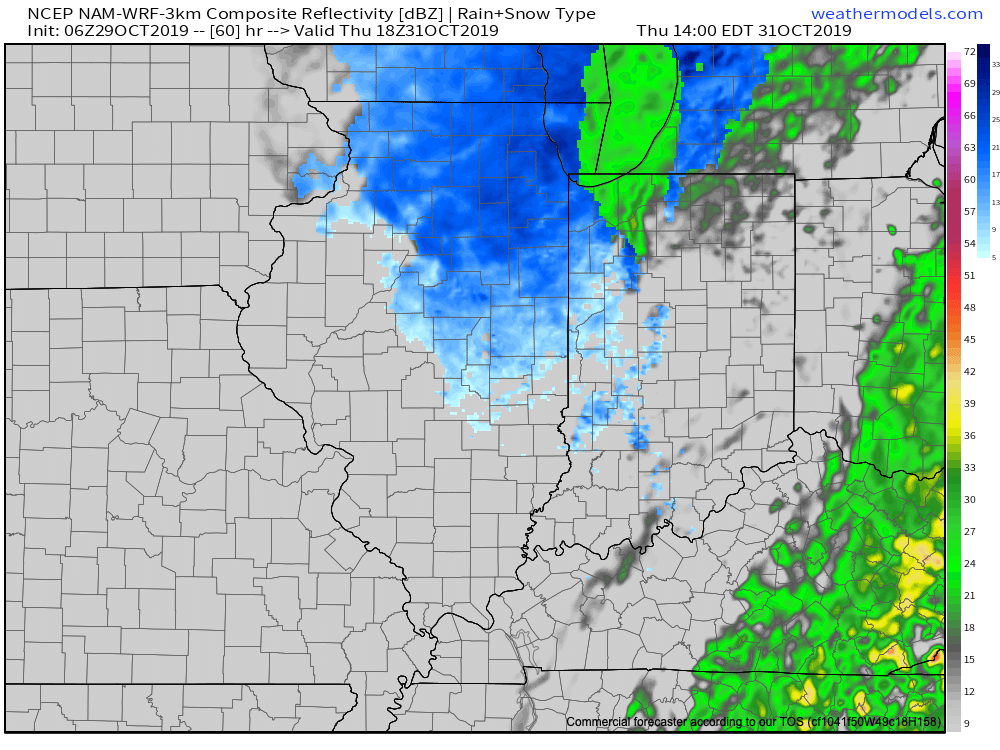
Precipitation will transition to light snow showers/ flurries Thursday PM.
Wind chills will fall into the upper 10s to middle 20s Thursday PM.

III. The first lake effect snow event of the fall will take place this weekend. Accumulating snow is expected in the snow belt regions- especially Saturday night. Otherwise, the first official freeze of the season can be expected for many across the Ohio Valley this weekend.

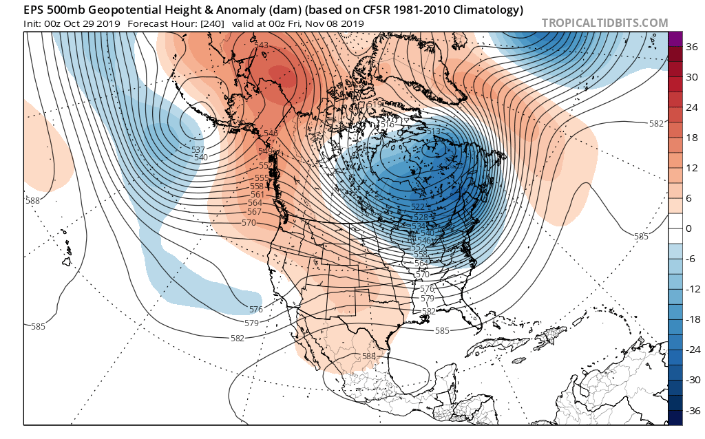
IV. Longer term, I’d get used to the cold, more wintry weather. The pattern continues to look much colder than average and active as we rumble through the early part of the month. (In case you didn’t see it last night, our November Outlook can be found here).
VIDEO: Busy Time Of Things In The Good Ole Forecast Office…

You must be logged in to view this content. Click Here to become a member of IndyWX.com for full access.  Already a member of IndyWx.com All-Access?  Log-in here.

Client Brief: Updates On The Latest With Saturday’s Rain/ Wind…

Type: Heavy Rain & Strong Wind

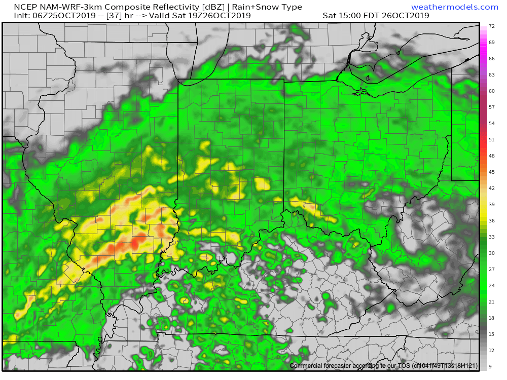
Rain will lift north across the Ohio Valley overnight into Saturday.

What: Heavy rain and gusty winds

When: Saturday

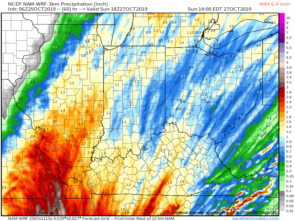
Rain Amounts: 1″ to 2″

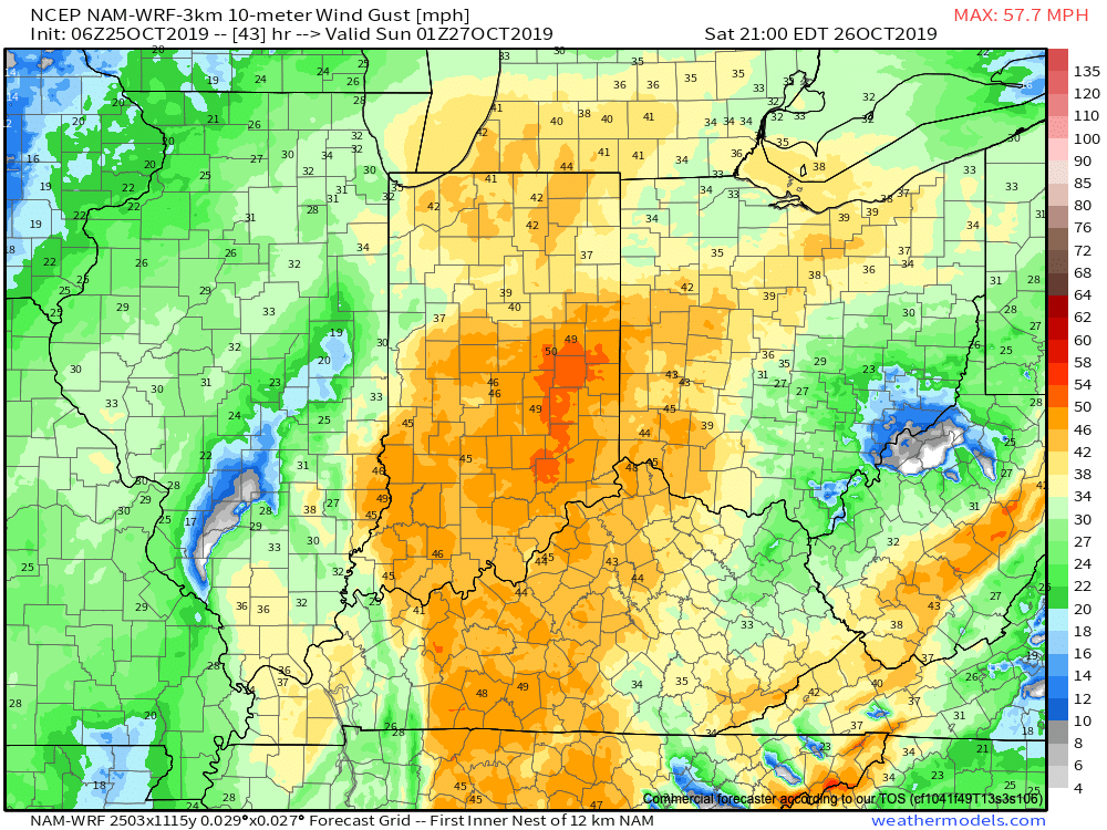
Wind: Variable 15-30 MPH with gusts to 45 MPH

It continues to look like a significant rain and wind maker wants to take up residence across the Ohio Valley this weekend. Focusing more specific to central Indiana, Saturday is the day for the biggest impacts. A rather expansive rain shield will lift north across the state late tonight into Saturday morning, becoming heavy at times during the day Saturday. The other item to focus on is the wind. East winds will become strong and gusty during the day Saturday before shifting to the southeast, south, and eventually southwest as the area of low pressure moves very close to overhead. During this timeframe, winds may gust to 45 MPH Saturday night. Once the area of low pressure moves to our northeast, winds will shift around to the west Sunday morning and diminish. Overall, storm total rainfall amounts across central Indiana continue to look like they will check-in between 1″ and 1.5″ for most with a few locally heavier reports. The last of the rain will exit to the northeast before sunrise Sunday.