Saturday Morning Rambles: Wind The Big Story Today; Warmth On Borrowed Time…

Updated 11.05.22 @ 9:22a

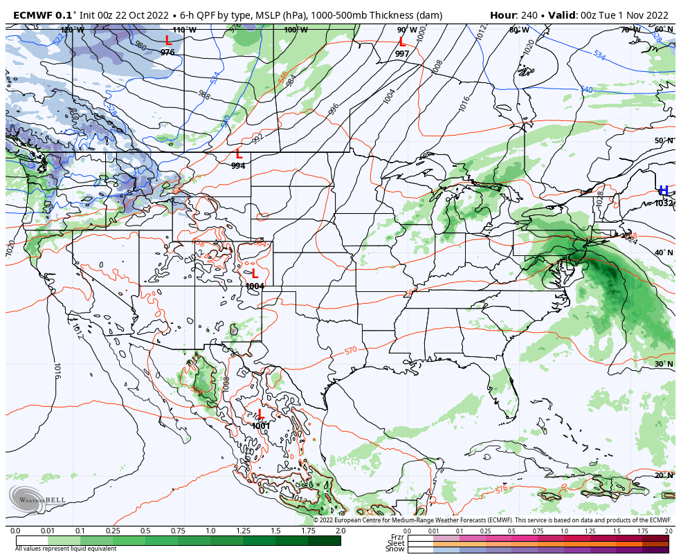
I. Showers will scoot east of the region by late morning but we’re not done with the rain just yet. A skinny line of storms will likely blow across the state during the early to mid afternoon hours.

3p forecast radar

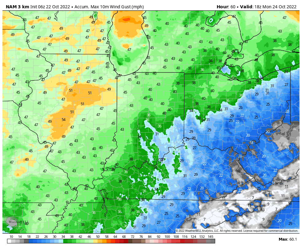
The other big story today will, of course, be the wind, including wind gusts around of 50-60 MPH. Strongest winds will come between 12p and 5p before diminishing this evening. Needless to say, batten down the hatches!

II. High pressure will supply an extended period of quiet weather through the bulk of the week ahead but there are changes on the horizon.

Our next cold front will blow into town Thursday night or Friday morning. As of now, it looks like it’ll be moisture starved but unlike this current system, the air behind the frontal passage will be drastically colder. How do highs in the lower 40s and lows in the lower 20s sound next weekend?

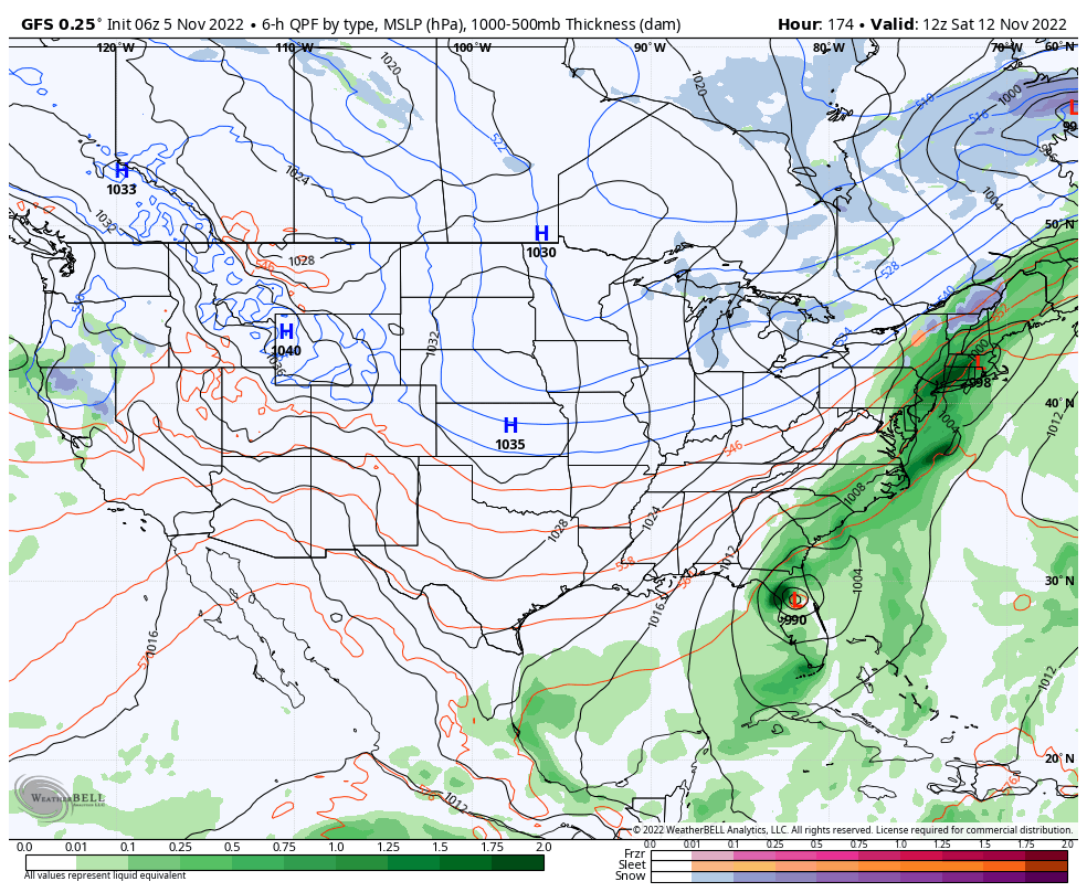
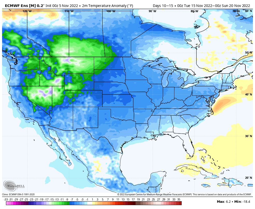
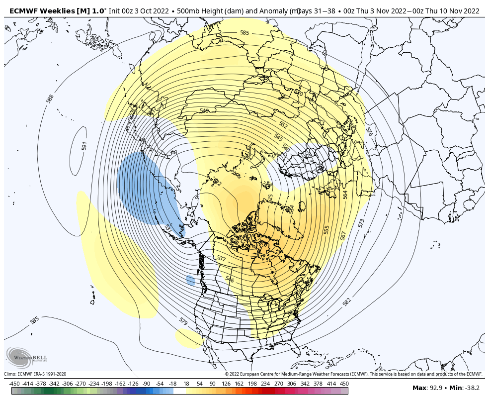
III. Next week’s front will be a “game changer” in that it will likely be the first attempt at bringing a more sustained colder pattern east. Note the latest European ensemble guidance below for the 10-15 day period. Needless to say, warmth is, indeed, on borrowed time…


Saturday Morning Rambles…

Updated 10.22.22 @ 7:14a

  1. A windy warm up complete with partly cloudy skies can be expected through the weekend. Highs will zoom well into the 70s and winds will gust 30-40 MPH

2. A cold front and associated surface wave of low pressure will spell a period of needed rains around these parts by Tuesday evening into Wednesday. Rainfall totals are creeping up on recent model runs (good news as our rainfall deficit continues to grow more than 2”). Perhaps some 1”+ amounts are possible, especially for western areas with the passage of this system.

3. While we will “cool” behind the passage of the front, the airmass isn’t anything to write home about (lows in the lower 40s and highs in the mid-upper 60s).

4. The early call on Halloween reflects a chance of light rain but any storm system of significance appears to remain away from our region as of now. We’ll certainly continue to keep a close eye on things.

If you haven’t had a chance to read our long range outlook from Thursday, we encourage you to do so here. This will shed light on where the pattern is heading as we get into November.

Something’s Got To Give…

Updated 10.03.22 @ 5:32p

The NEW European Weeklies are in and continue to paint an intriguing picture as we look ahead to November. Remember, we’re of the belief that the pattern may, indeed, get off to a fast start to the winter season (for a change) this year.

At any rate, note the evolution at 500mb continues to up the ante that this idea may be right as we rumble into mid-November.

However, at the surface, the European doesn’t display the type of cooling one would imagine given the upper air pattern look.

My hunch is that we’ll see the trough “tuck in” further west to include a good portion of the central and east as we move forward and zone in on that mid-November time frame. That will likely force the surface temperature anomalies above to cool (significantly so if this idea is correct) for that time period.

It’ll be interesting to see what the update European seasonal product says in a couple of days. We’ll include that in Thursday’s long range update.

Dinnertime Rambles: “Times, They Are A Changin…”

Updated 09.20.22 @ 6:33p Despite the fact that we’re looking at near-record heat tomorrow, when you get to late September, you know time is ticking on what can be an…

You must be logged in to view this content. Click Here to become a member of IndyWX.com for full access.  Already a member of IndyWx.com All-Access?  Log-in here.