Hot Weather Returns…
 Highlights:
- Sun-filled days
- Turning hot
- Storm chances return by mid week
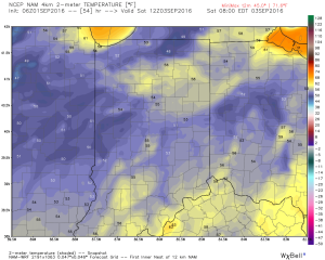
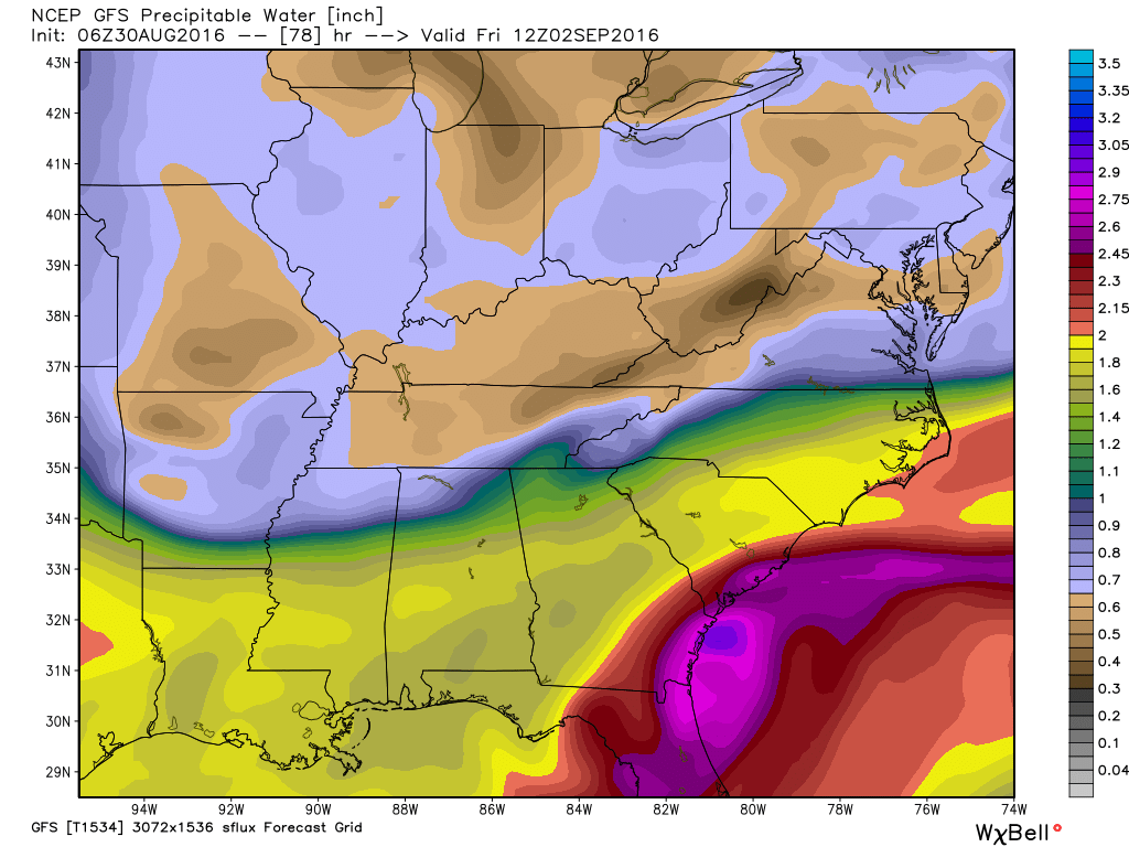
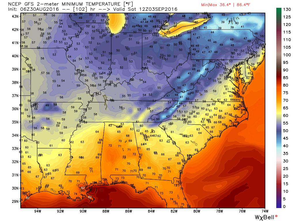
Refreshing Temperatures (For Now)…High pressure and a dry northeast flow will continue to support refreshing conditions across the region. Plentiful sunshine along with low humidity values will create ideal weather to spend time outdoors as we go into the long Labor Day weekend. Perhaps a bonfire is in order this evening?
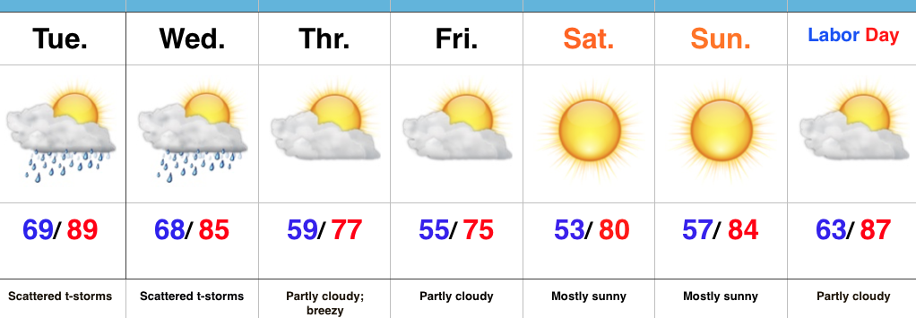
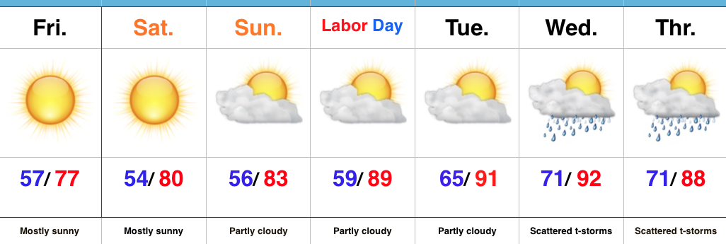
Eventually, our air flow will back around to the southwest and this will allow a much warmer and increasingly humid air mass to return. Sunday will be noticeably hotter, but the true push of humidity will arrive Labor Day into Tuesday. It’ll, officially, feel “oppressive” by mid week. That increased moisture will also help ignite scattered storm chances Wednesday into Thursday.
Looking just beyond the (7) day period shows the potential of a cooler period building back in next weekend…
Upcoming 7-Day Precipitation Forecast:
- Snowfall: 0.00″
- Rainfall: 0.25″-0.50″
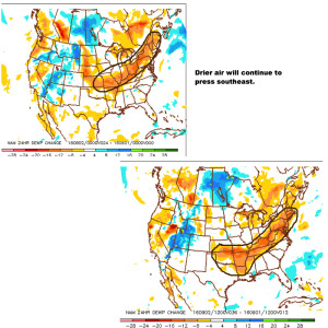 You’ll definitely notice the drier, crisp feel to the air upon stepping outside this morning. If you try hard enough, you can almost smell fall! 🙂
 We know this is the beginning of the transitional time of the year. Eventually, these cold fronts will back more and more of a punch as we rumble deeper into fall. On the flip side, summer isn’t ready to go away without a fight. In fact, temperatures well above normal will return for Labor Day, itself, and continue into the majority of next week. A string of highs in the upper 80s to lower 90s will be common next week.
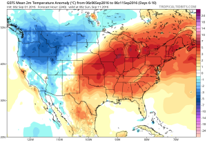 Longer term, there are indications that continue to support the idea of a potentially more significant cool down around mid September. Stay tuned…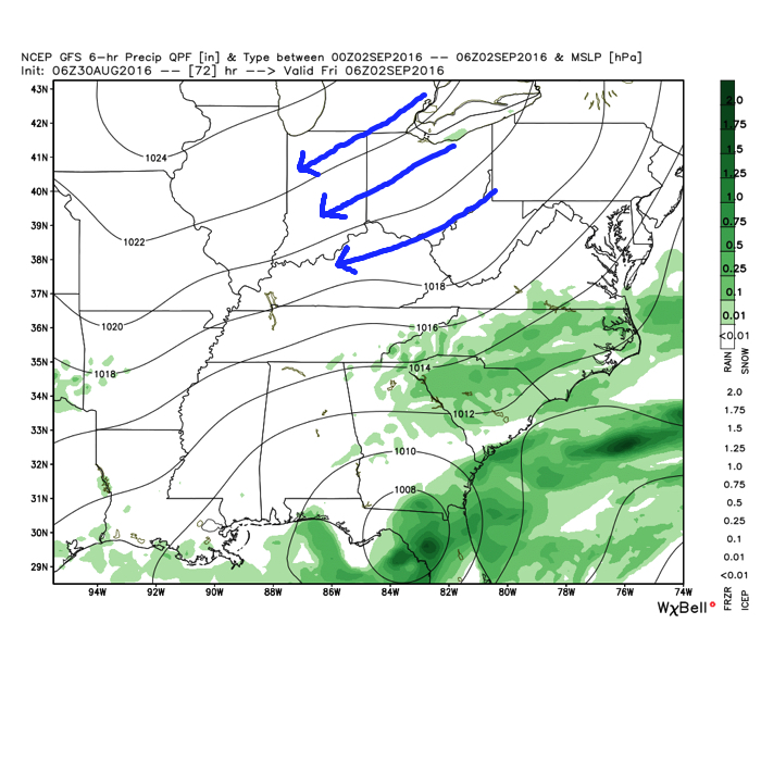
 Eventually, our air flow will back around to the southwest and help push Labor Day into the “hot” territory. Highs in the upper 80s to around 90 will be common for Labor Day, itself.