Drier Trend Continues This Weekend…
 Highlights:
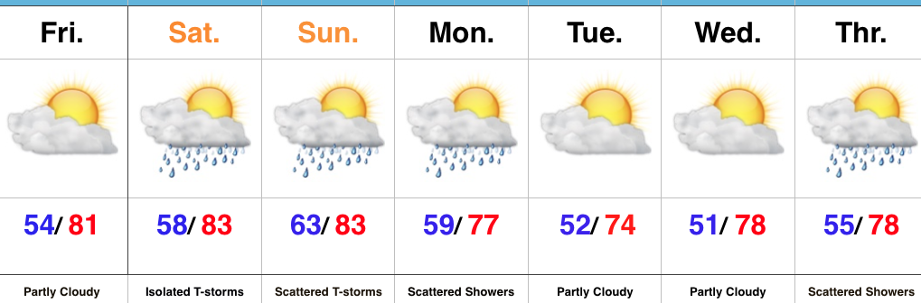
- Dry close to the work week
- Mostly dry weekend
- Slightly cooler next week
Models Continue To Trend Drier…It was only a couple days ago that models were suggesting the threat of heavy rain and scattered strong storms this weekend- beginning Friday. In this business, it doesn’t take long for things to change sometimes, but this is the first legitimate change for the “drier” that we’ve seen with storm systems since winter. Time and time again as we draw closer to events, modeling has had to play “catch up” for the wetter over the past few months.
The end result is one that will feature a mostly dry weekend, including only isolated storm coverage Saturday afternoon and evening (most stay dry) and scattered coverage Sunday. As a whole, many more dry hours are expected this weekend than stormy.
The other big takeaway over the past few days is the cool bias models have had. This is noted and documented and we’re adjusting our forecast accordingly moving forward. Drier and cooler air will arrive after Monday showers, but temperatures won’t run nearly as cool as once projected. For the second week in a row, very pleasant and refreshing weather is ahead for the middle of the week. Not bad, at all, by June standards.
Upcoming 7-Day Precipitation Forecast:
- Snowfall: 0.00″
- Rainfall: 0.50″ – 0.75″
 Week 2:
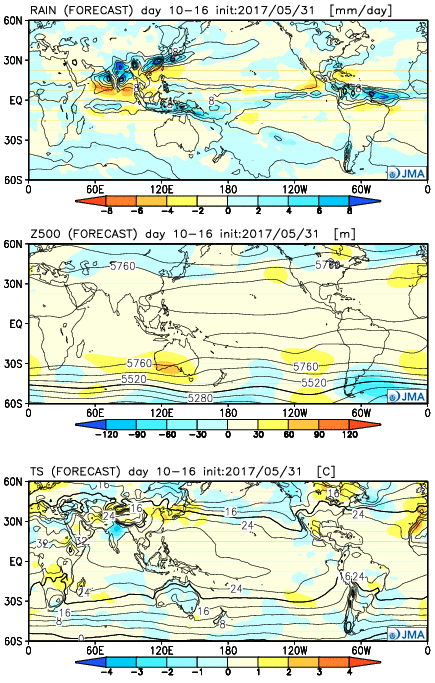 Weeks 3-4
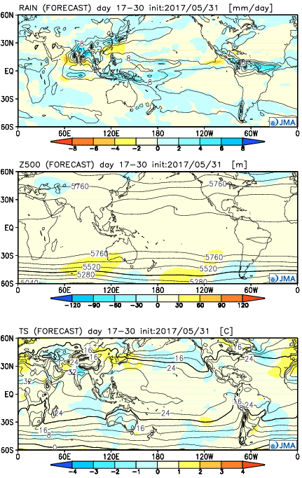
 Highlights:
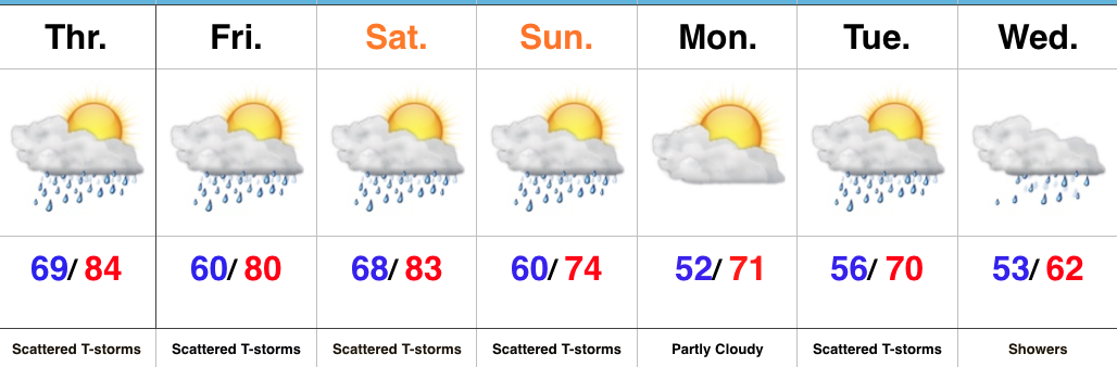 Highlights: