Potential On The Table For A Spectacular Period Of Winter Weather…
Right out of the gate, our expectation is that the period Feb. 1st through March 6th will provide a memorable period of winter weather across central Indiana. Included in our thinking is that between 15″-20″ of snow falls at IND during the period and at least (1) night features lows between 10° and 15° below zero.
Before we get into a new period of wintry conditions, the region will enjoy an unseasonably pleasant stretch of weather, overall, over the upcoming week. Temperatures will run much milder than average most days and precipitation events will remain relatively light and insignificant until we get to late next week.
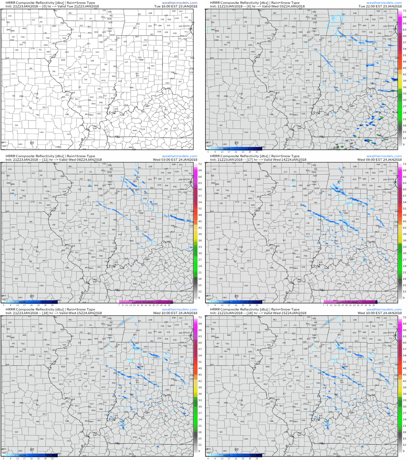
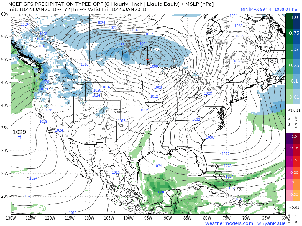
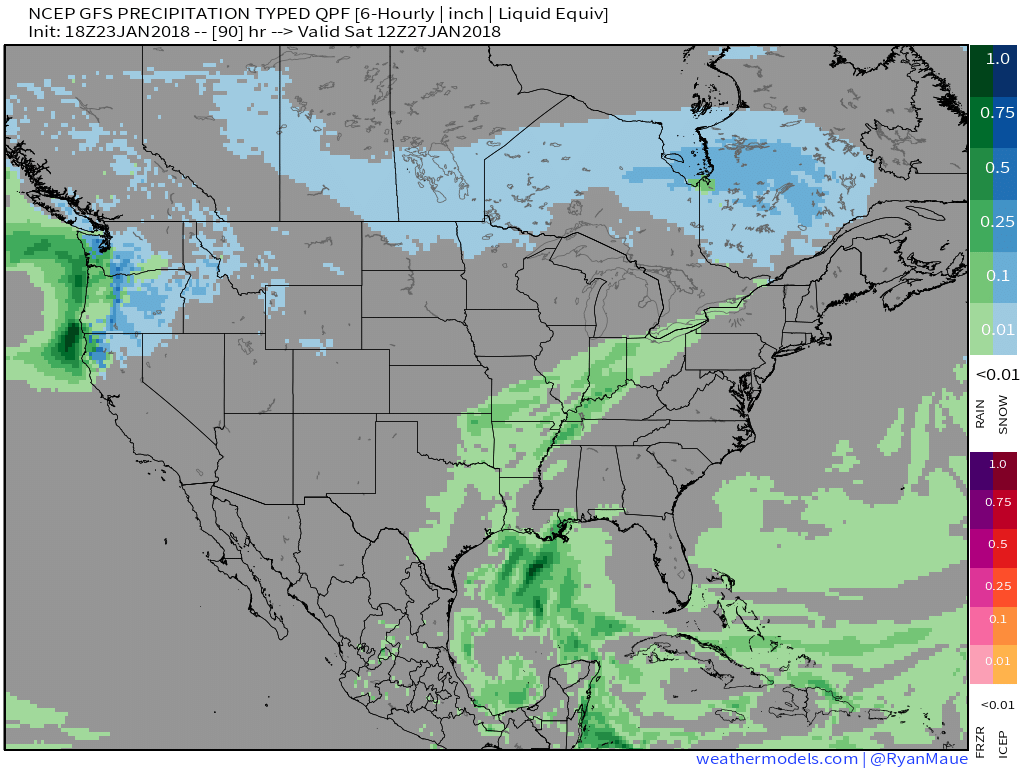
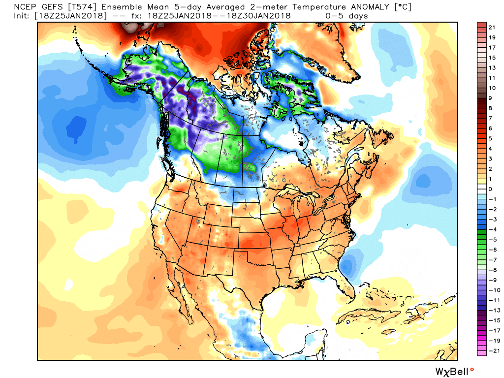 While we’ll deal with light rain Saturday morning, light snow Monday with upper energy and a transient shot of cold air, the primary message through next Wednesday is that our weather pattern will be rather benign considering we’re in the “heart” of winter. In fact, our current 7-day reflects (3) days of highs of 50°, or greater. That’s impressive for late January, and you have our full permission to enjoy every minute of it! 🙂
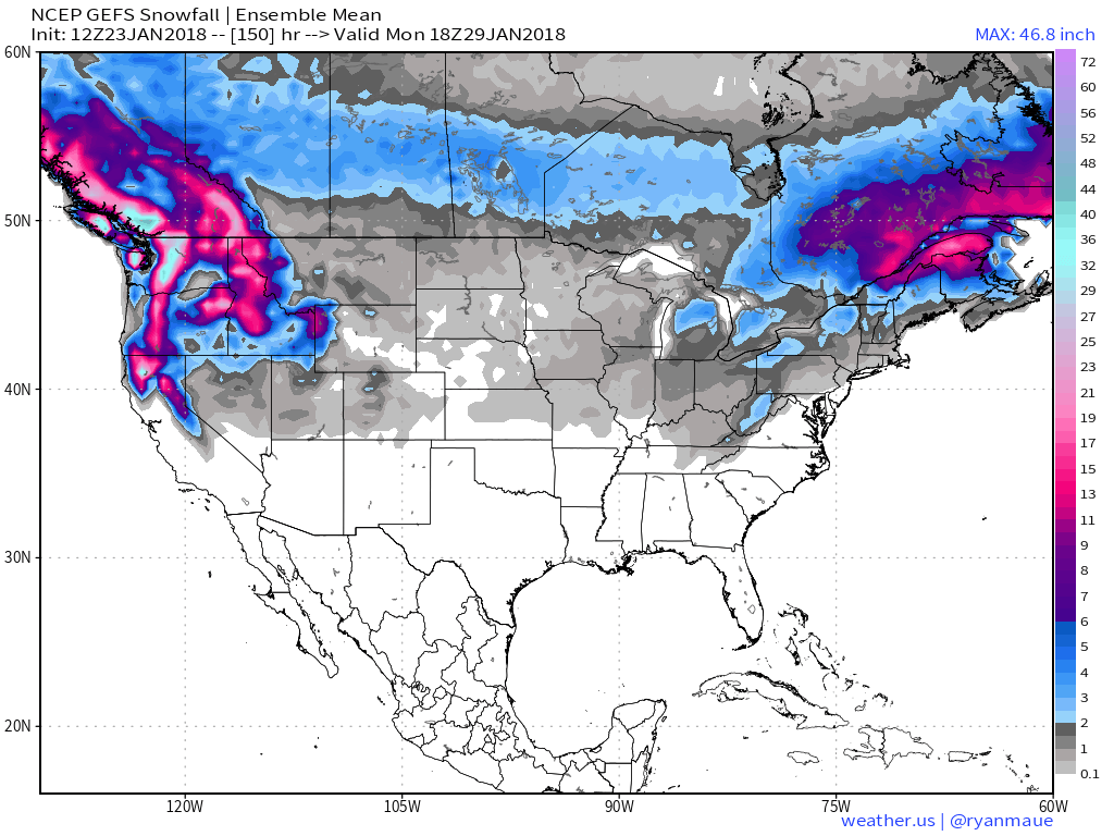
As we transition into February, the ball begins rolling towards a new period of significant winter weather. Initially, this will likely come in a “step down” fashion. We forecast the initial jab of cold to arrive late next week and this will likely be accompanied by a period of rain switching over to a period of snow Thursday (accumulating snow is on the table with this event). We note the GEFS sees the transition to cold as we enter the second month of the year.
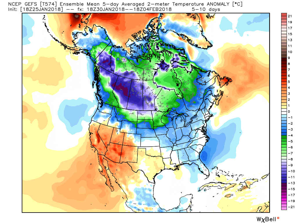
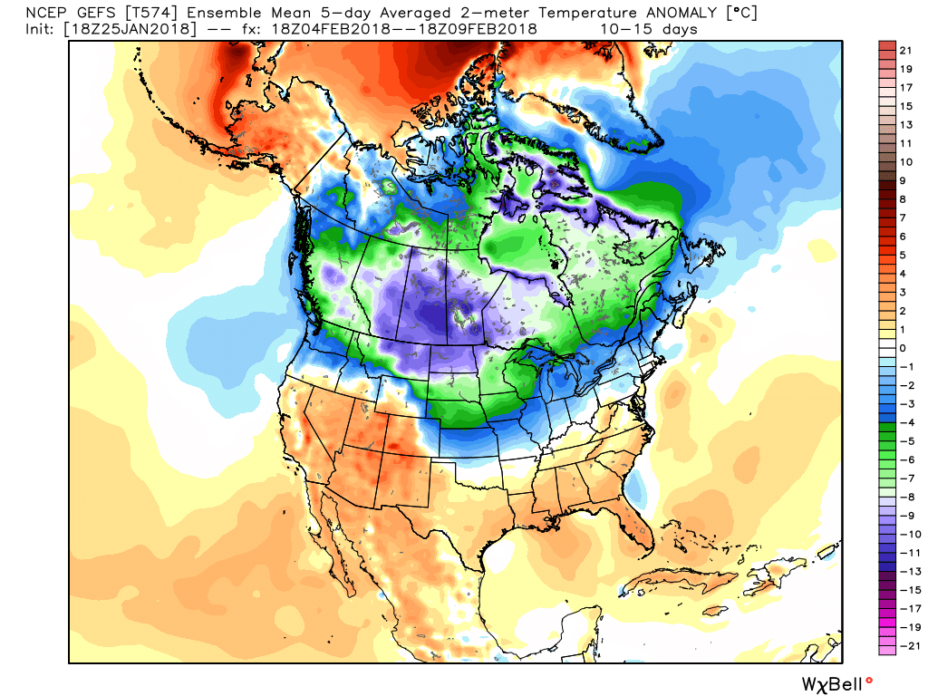 A combination of ingredients will come together to initially lead to a very active/ stormy period for the first half of February. Within this initial couple weeks of the month, we expect an expanding snowpack to encompass the Mid West and Ohio Valley region. While we can’t get specific on any one particular storm more than two weeks out, confidence is higher than normal on the pattern putting down greater than average amounts of the white stuff. Snow enthusiasts, locally, have to be “salivating” over the resistance put up from the eastern ridge and the resurgent cold pressing into the Plains and Midwest. A busy interior storm track seems like a good bet.
It’s as we get into mid-February where we think significant, bitter cold will take the headline. It’s a “feedback” of sorts between getting the snowpack laid down first and then having the MJO swing through the phases that favor late-winter arctic intrusions into the eastern portion of the country. Unlike the past couple of winters, plenty of cold is building- and waiting at the gate to be unleashed southeast over the next several weeks.
Finally, we also note the new European Weeklies remain bullish on a prolonged colder than average stretch of weather, accompanied by above normal precipitation, February into mid-March. This is significant as run-to-run consistency has been noted and is backed up by long-term pattern techniques.
We’ll revisit our call of 15″-20″ Feb. 1 through March 6th, including at least one night of lows between 10°-15° below, on March 7th… In the meantime, we’ll be here with blog updates and videos through the active upcoming several weeks ahead.