Daily, we’re receiving questions around if and when winter will show up. While admittedly later than originally thought here, we’ve never been in the camp of “throwing the towel” in on winter. Our winter outlook that includes below normal cold and near average snowfall remains unchanged.
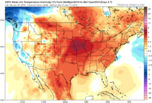
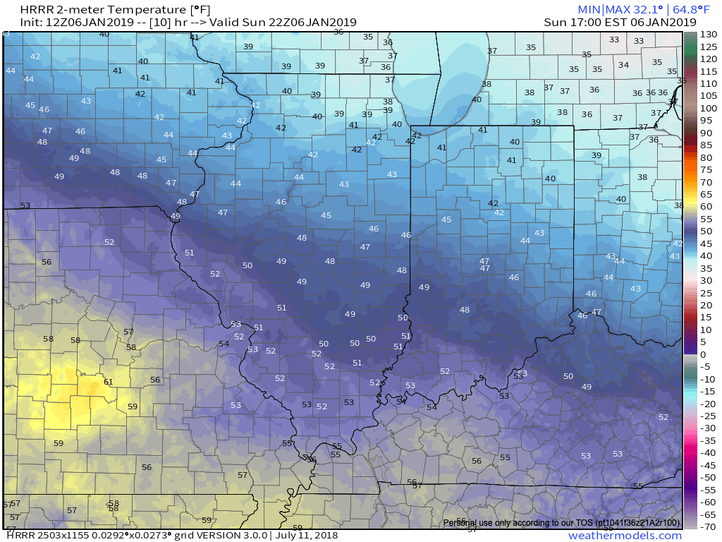
Before we get into some of our reasons why we think winter will show up (and likely make up for lost time), the upcoming week will remain much warmer than average.
We’re tracking (3) storm systems that will deal the region rain over the upcoming week:
- Southern IN this afternoon and evening
- All of the state Monday
- All of the state next Friday into Saturday
As a whole, rainfall amounts won’t be particularly impressive for most, with 7-day totals between 0.25″ to 0.75″ for central portions of the state. Heavier amounts can be expected across southern areas.

Now, let’s look ahead to some potentially colder times. Before moving forward, it’s important that we recognize models have attempted once already to drive in a wholesale pattern change to colder (originally thought to be underway now). Perhaps it’s a case of “delayed, but not denied.” There’s a lot going on behind the scenes:
- Sudden stratospheric warming event and potential polar vortex displacement, etc.
- SOI flipping from a Niña-like state to one we’d expect to see associated with an El Niño
- Active MJO remains
There are significant changes brewing in the arctic/ higher latitudes that have to raise an eyebrow at the very least.
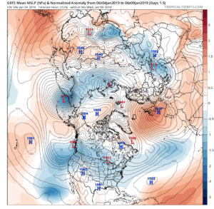
Today
Mid-January
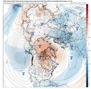
Note the higher pressures building over the upcoming 10-14 days in the arctic regions.
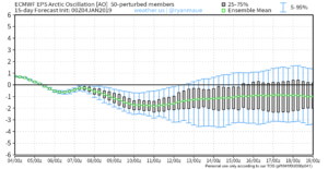
Not surprisingly, the models begin to tank the AO.
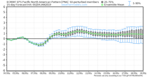
The PNA rises…
Something that also lends credence to a potential pattern shift is the recent SOI drop.
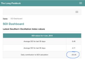
This would tend to suggest that an active storm track may be in place as the more bonafide cold shift is underway.
The moral of the story? Despite the milder period being extended a couple weeks longer than originally thought, there’s still a lot on the table this winter. It’s far too early to think winter’s over before it’s really even begun for most. We expect to see increasingly wintry conditions show up around the middle of January…
Stay tuned.
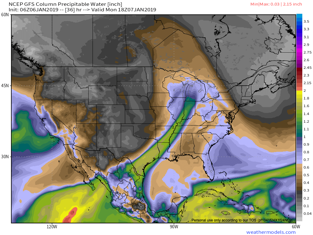
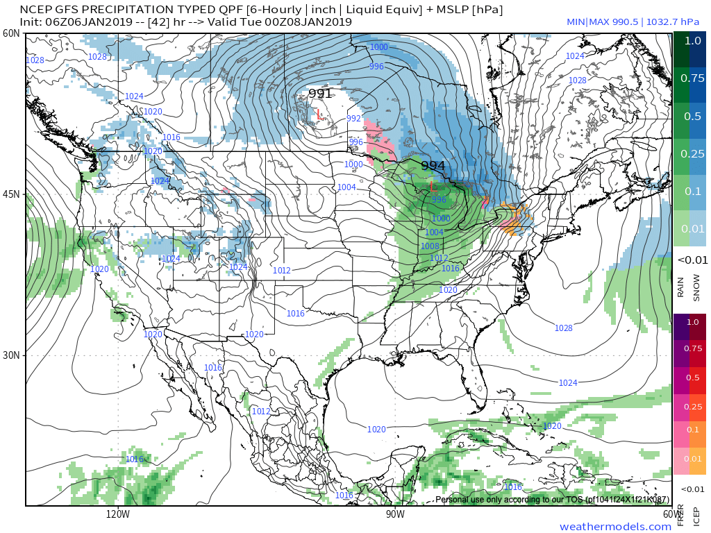 Note this storm system won’t have a Gulf of Mexico (GOM) connection. Thus, the reason behind the lighter rainfall numbers compared to recent events.
 III. Colder air will pour in behind the storm system. Highs will struggle to reach the freezing mark Wednesday and Thursday. Dry times return.
 IV. A weak system may deliver rain or snow next weekend, but modeling differs on how they handle this energy. We’ll keep an eye on things and update accordingly.