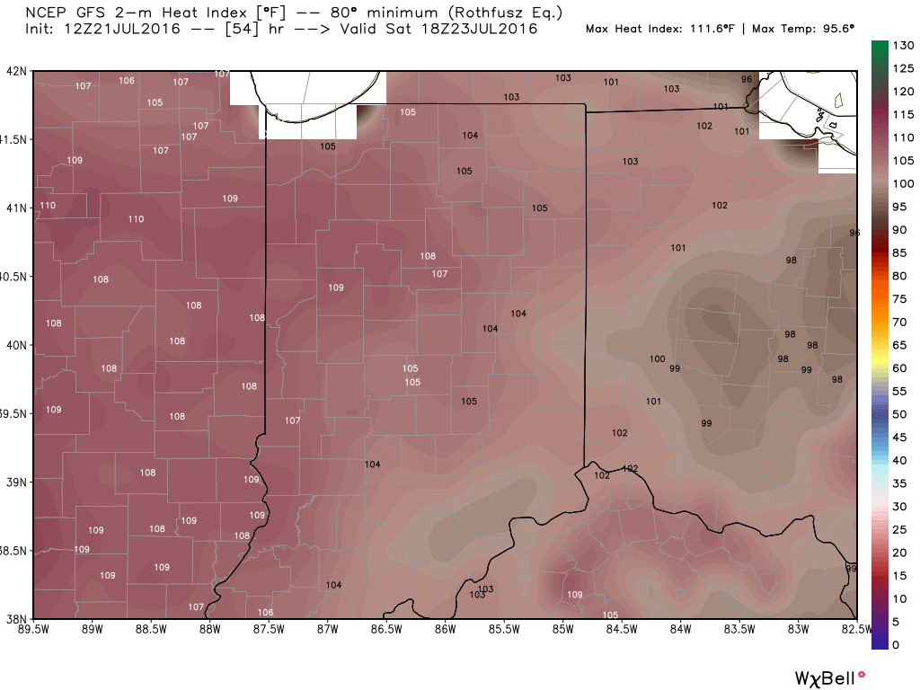
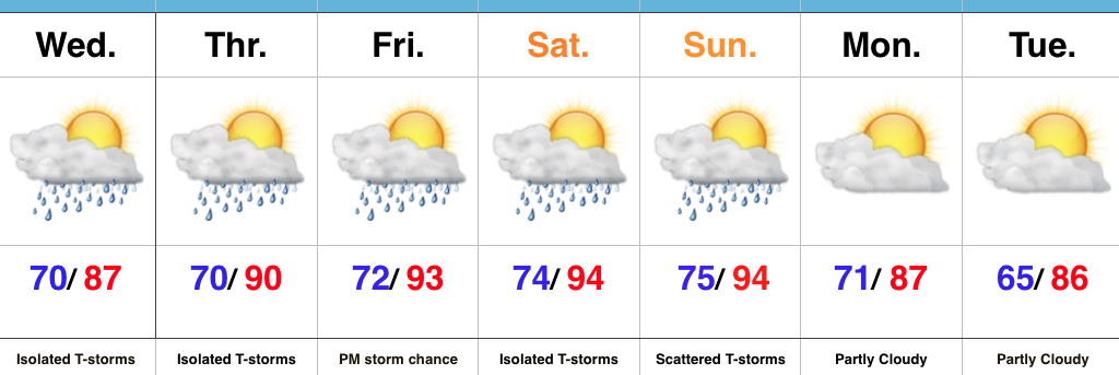
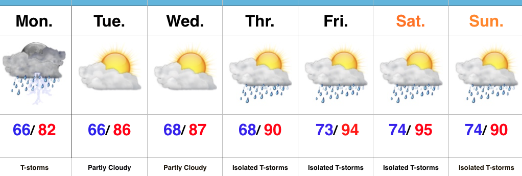
1.) A big ole ridge will supply oppressive heat and humidity across the Mid West this weekend. Unseasonably hot temperatures will combine with downright “soupy” air to create heat indices between 105-110 degrees across central IN this weekend. Take it easy and implement frequent breaks if your plans take you outdoors.
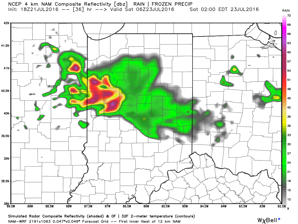
2.) Similar to what we’re seeing on radar this evening, thunderstorms will also make an appearance from time to time for some. With an atmosphere loaded with moisture, any storm that develops will be plenty capable of producing “frog straggler” type rainfall rates. Perhaps there will be a couple periods of more concentrated storm activity, focused on late tomorrow night and early Saturday, and again late Saturday night-Sunday morning. We’ll keep an eye on things.
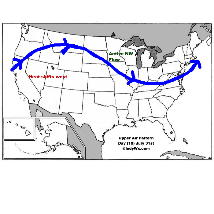
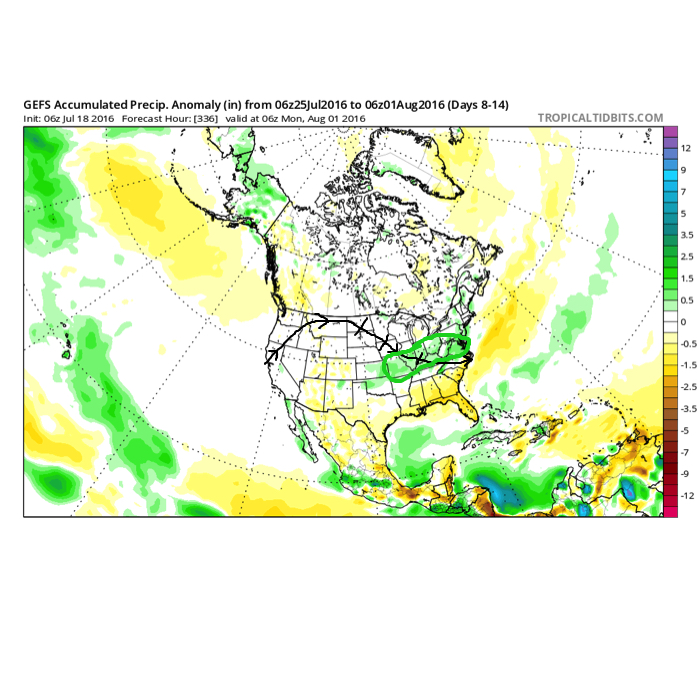
3.) The pattern is one (as has been the case all summer) that’s transient and the situation that develops to wrap up July and open August is an all-too-familiar look around these parts: NW flow aloft that offers storm potential, along with seasonal to slightly warmer than average. It’s a wet look, overall.
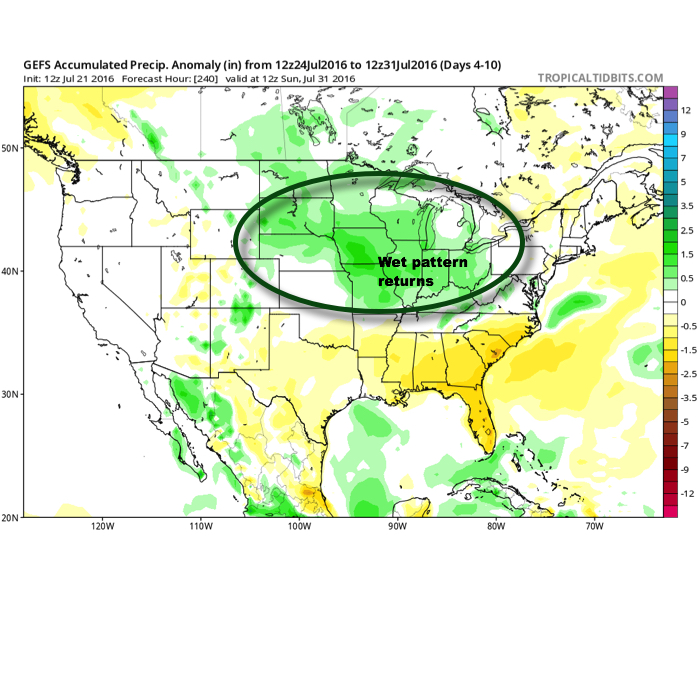
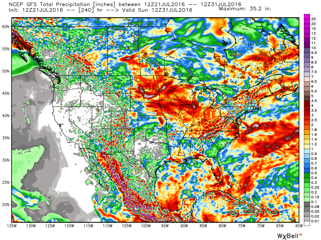
10-Day GFS rainfall numbers are impressive across the Mid West. Soaking rains for many. Courtesy Weatherbell.com
This is what the upper air pattern should look like as we close July- 10 days from now (hard to believe)!
4.) Looking further ahead, the latest JMA Weeklies continue to suggest the most sustained hot pattern should remain across the west as we rumble deeper into August. That’s not to say we won’t deal with periods of hot weather here at times, but sustained heat will be hard to come by with such a pattern…
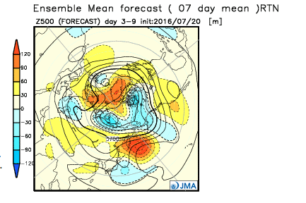
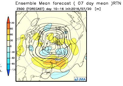

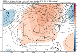
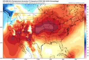
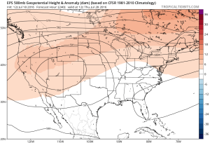
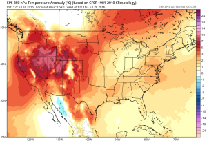 While some oppressive heat and humidity will impact our local area to wrap up the work week and head into the weekend, this is a pattern where it’s incredibly difficult to deal with any sort of one particular weather pattern for any time of substance. Looking forward to August, we don’t see this changing. Remember that word we leaned on to begin summer? “Transient” remains the best way to describe the pattern moving forward, as well.
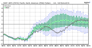
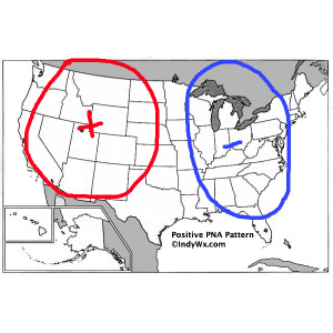
 To close, we’ll leave you with a look at the latest PNA pattern. This has been the primary driver of our weather this summer, and it also argues any sort of dry, hot weather doesn’t last. Note the positive PNA returning to close July. This also lines up well with our idea of unsettled times returning…
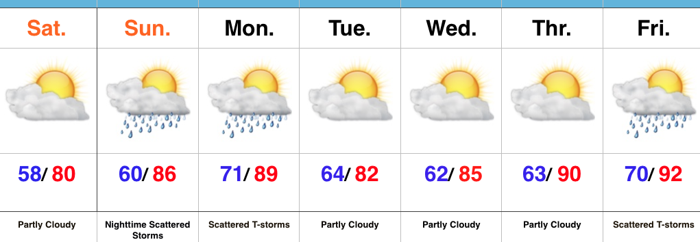
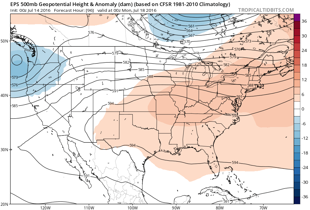
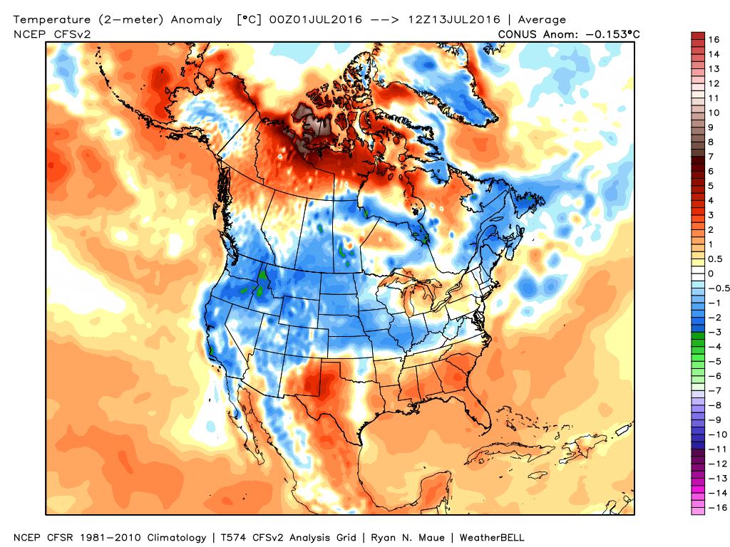 Ensemble data continues to suggest that the mean ridge position (hot dome) develops over the eastern portion of the country early next week before slowly retrograding northwest with time.
 By the middle and latter portions of next week, the hot dome is set up in a position that will yield an extended stretch of hot temperatures across the state, including multiple mid-90 degree highs across central IN.
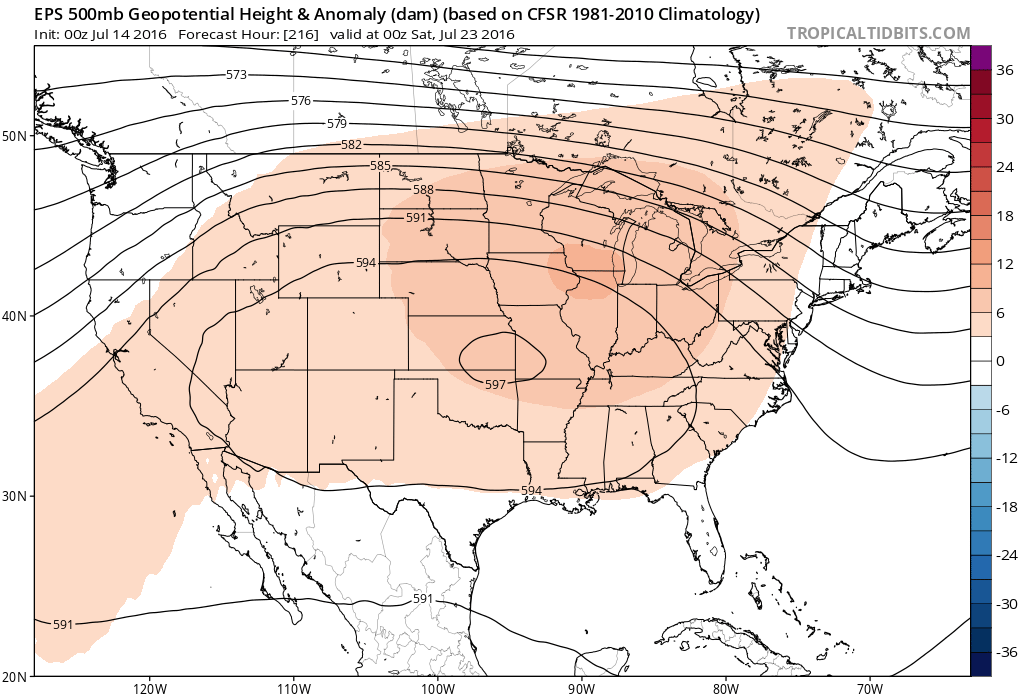
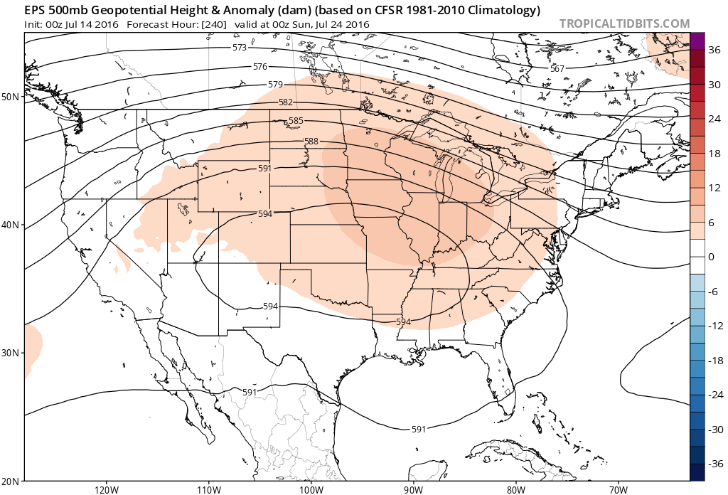 Given the current look of the ridge position, this would also be a rather dry pattern, as well, as the storm and rain track would shift north across the Canadian border into the northern Great Lakes states. (Follow that 588 line above for a good indicator of the storm track).
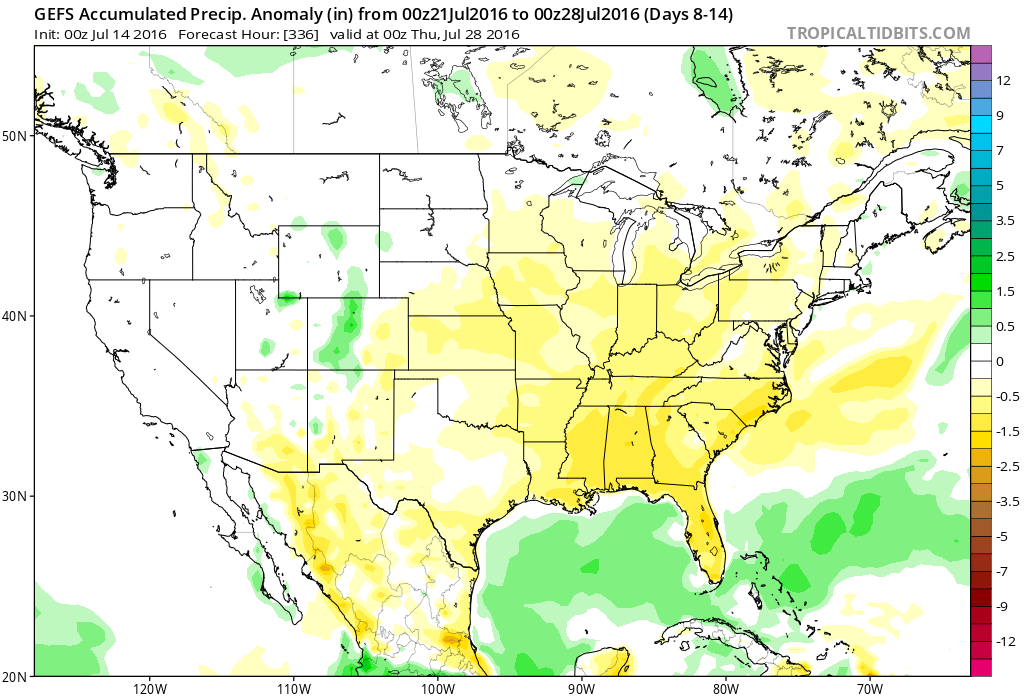 One always has to be careful in trying to predict the timing of the ridge breaking down/ overall placement this time of year (models can struggle), but for now it appears as if we really heat things up and dry things out as we move through next week- especially the middle and latter portions of the week.
 2.) The aforementioned cold front will sweep through the state tonight and allow a much drier and cooler air mass to push in for the weekend. We’ll enjoy a downright pleasant feel this weekend, including lots of sunshine. Enjoy!
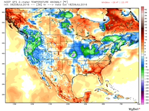 3.) Dry weather should continue into early next week, but wet and stormy weather will return as early as Tuesday, continuing into the latter portions of the week.
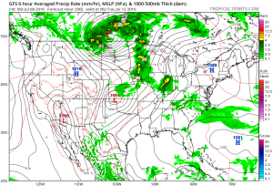 This is the start of what should be a rather wet period for mid and late month.
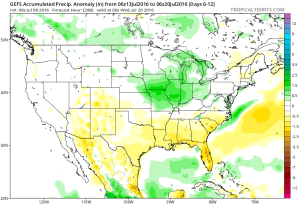 4.) This is also a continued “transient” pattern through the end of the month, meaning we really don’t see any sort of sustained dry, hot weather in the foreseeable future…
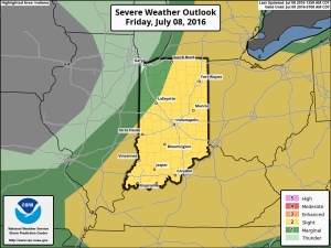
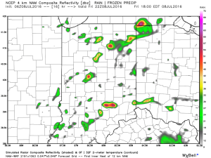
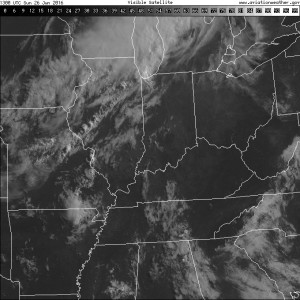 A line of thunderstorms will develop later this afternoon and a few of these could be strong to severe as they push to the south. Large hail and damaging straight line winds are of greatest concern. We think best chances of thunderstorms across central IN will come during the mid to late afternoon hours into the early evening.
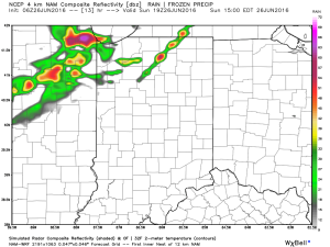
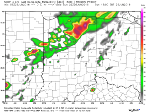
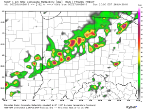
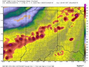
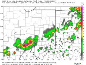 The air mass is loaded with moisture today. In fact, precipitable water values will zoom to 2″+ this afternoon and suggest the threat of torrential rainfall with any storm that develops.
 Once to Tuesday, a MUCH cooler, drier air mass will arrive on the scene and help set up an unseasonably cool close to the month.