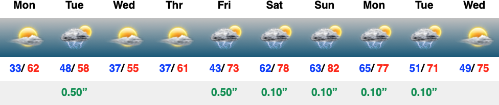
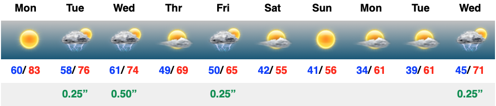
The work week will start pleasant but take an unsettled turn rather abruptly Tuesday. Clouds will increase and give way to showers and embedded thunder ahead of another unseasonably cool push of air just in time for midweek. The other item of note Tuesday? Strong southwesterly winds upwards of 40 MPH at times ahead of that cold front.
More of a true spring-like pattern takes hold going into the weekend, complete with increasing storm chances.
It was a frosty start to the morning across central Indiana, especially in outlying areas. We’ll do it all over again tonight and Monday morning as temperatures dip back into the lower and middle 30s. The fine folks over at the Indianapolis National Weather Service office have hoisted a Frost Advisory from 1a to 10a Monday.
Widespread frost is expected Monday morning.
Otherwise, the work week will open with a continuation of the sunny skies we’ve enjoyed over the past few days.
That will all begin to change as a cold front arrives from the northwest on Tuesday. Clouds will quickly return and showers and thunderstorms will follow. We’re not talking about excessive rainfall with this system, but 0.25″ to 0.50″ is likely as the front moves through the Ohio Valley. Gusty southwesterly winds can also be expected, including up to 40 MPH at times Tuesday.
Rain and embedded thunder returns Tuesday.
This will be a fast moving system and dry conditions will quickly return overnight and into Wednesday morning. This FROPA we’ll also help to reinforce the chilly airmass and a renewed frost (and potentially even a freeze) threat looms by Wednesday and Thursday mornings.
Another round of frost is expected midweek.
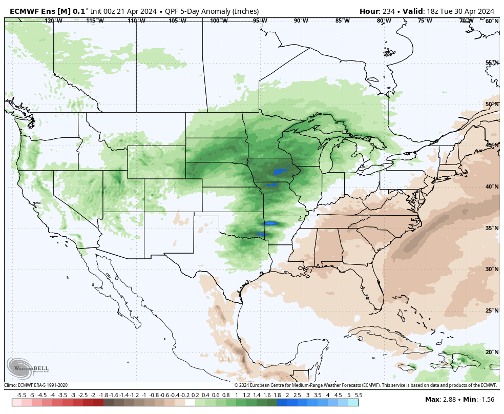
As we roll into next weekend, an overall regime change is on the docket, including a much warmer and more humid airmass engulfing the region. Along with this transition to more of a tropical feel, heavier rain and storms will return as well. As of now, closing out April and opening May is looking to feature numerous heavier rain and storm events. This will all get kicked off Friday.
A return of active times is expected to close April and open May.
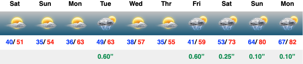
High pressure will dominate our weather this weekend, allowing for an extended dry, but cool stretch. Sunshine can be expected both today and Sunday and the overall pleasant theme will continue into the early stages of the new work week. Rain and storm return Tuesday and again on Friday of the week ahead. It’s just the beginning of another wet stretch as we close out April and head into May…
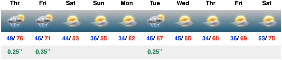
The day will start off quiet, but won’t end that way. We’re monitoring the threat of strong to severe storms later this evening, continuing into and through the overnight hours. The good news? All of these will be off to our east prior to heading out the door to work or school Friday morning. Then we can concentrate on a refreshingly cool weekend with sunshine returning.
We couldn’t ask for better weather to kick off the new work week. Plentiful sunshine, temperatures heading for the 80s, and a generally light, variable wind will make it tough to work indoors today. Rain and storm coverage will grow in the coming days…