Weekly #AGwx And #Severe Weather Outlook…
Updated 02.25.24 @ 7:55a
Though a bit earlier than usual this year, it’s time to “dust off” our dedicated weekly post aimed solely at looking at the potential of severe weather in the week ahead. You can expect this to be posted each Sunday morning moving forward through the spring and summer before sunsetting for another year come late September.


Forecast period: 02.25.24 through 03.03.24
The “headliner” system in the forecast period is an area of low pressure tracking into the Great Lakes region Tuesday into Wednesday (02.27 and 02.28). This will drag a trailing cold front through the Ohio Valley Wednesday morning into the afternoon (west to east).
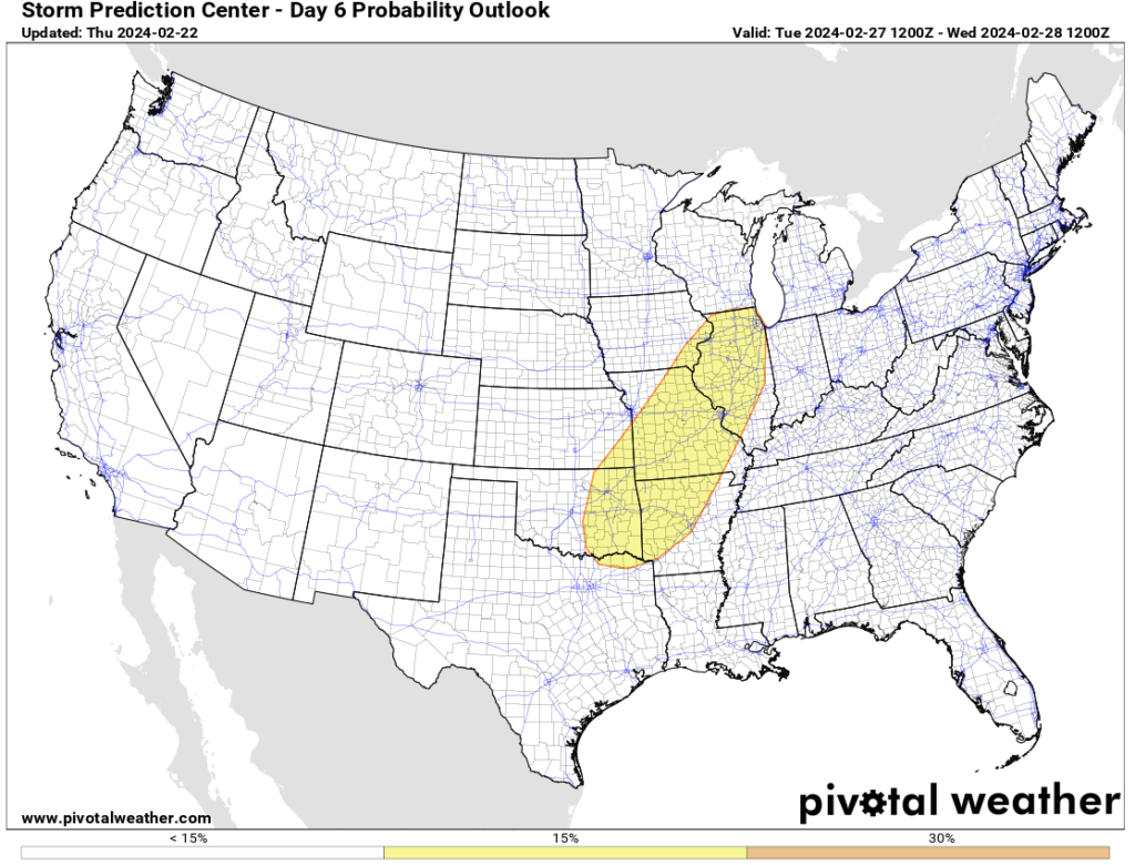
The Storm Prediction Center includes most of the region in some sort of risk of severe weather Tuesday. The greatest risk of severe appears to include an area north and west of a rough line from Evansville northeast to Bloomington and Toledo, OH. While all modes of severe weather are in play, we remain most concerned for the threat of damaging straight line winds Tuesday PM.

Ingredients aren’t off the charts (rarely are this time of year), but parameters are sufficient enough to warrant the chance of strong to severe storms Tuesday into very early Wednesday morning before the cold front moves through the region and results in falling temperatures and a much more stable airmass engulfing the entire OHV through the day. Stay tuned as we continue to fine tune specific timing of storms.
Beyond this point, an area of high pressure will settle overhead, resulting in a much more stable pattern to close the week and head through the weekend. Expect sunshine to return and another quick warm-up to get underway during this period. Highs will zoom back into the 60s next weekend.
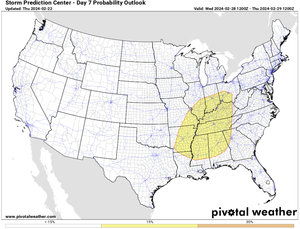
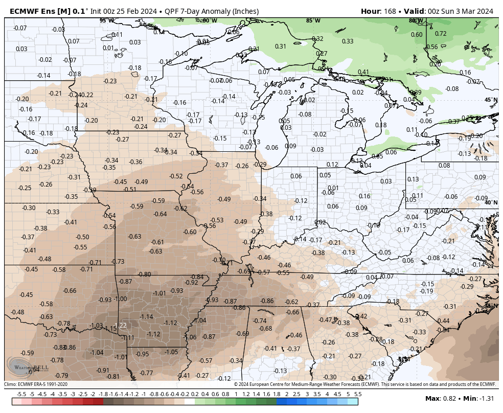
Looking ahead, we’ll need to monitor the threat of another potential strong-severe storm window during the early to middle stages of next week. Far too early for specifics, but similar ingredients appear in play which isn’t shocking given the ‘mean’ upper air pattern shown to open this post. We also want to reiterate the above to well above average precipitation expected throughout meteorological spring. Image 3 above highlights the wet look over the upcoming couple weeks.
Upcoming Storm Dates to keep an eye on:
- 02.26 – 02.27
- 03.03 – 03.05
*10-day rainfall projection: 1.25″ – 2.25″