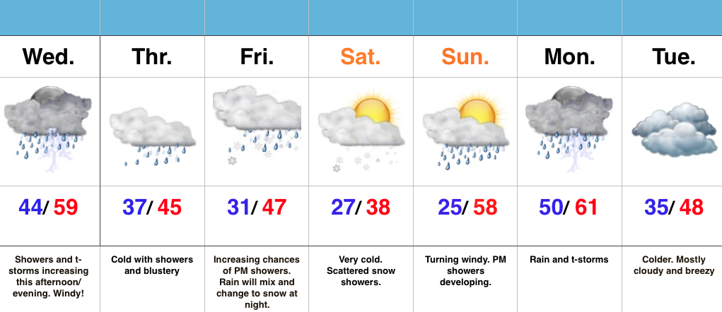
Thundersleet and Thundersnow Possible Later Today…
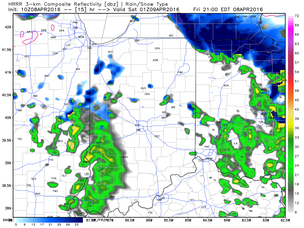
While the morning is off to a frigid and quiet start, changes will begin to take place as early as late morning into the early afternoon hours. Another disturbance will rotate through central IN this afternoon and evening and interact with the unseasonably cold air (both aloft and at the surface) to ignite convective showers. Some of these showers, mixed at times with sleet and snow, will be accompanied by thunder.
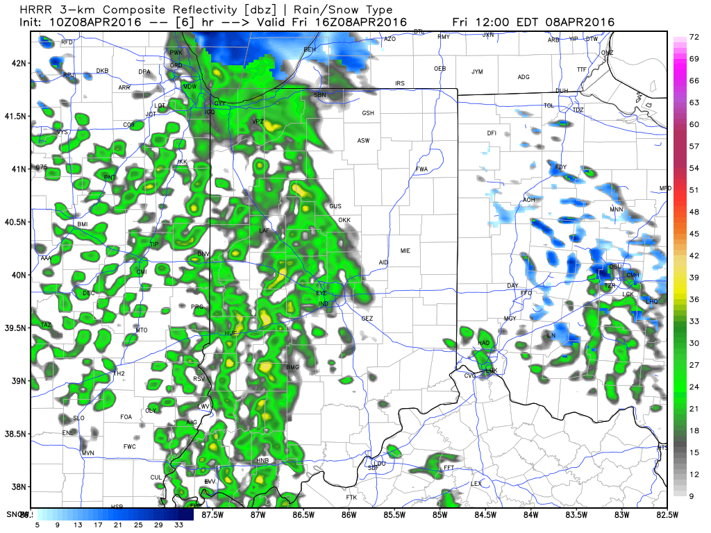
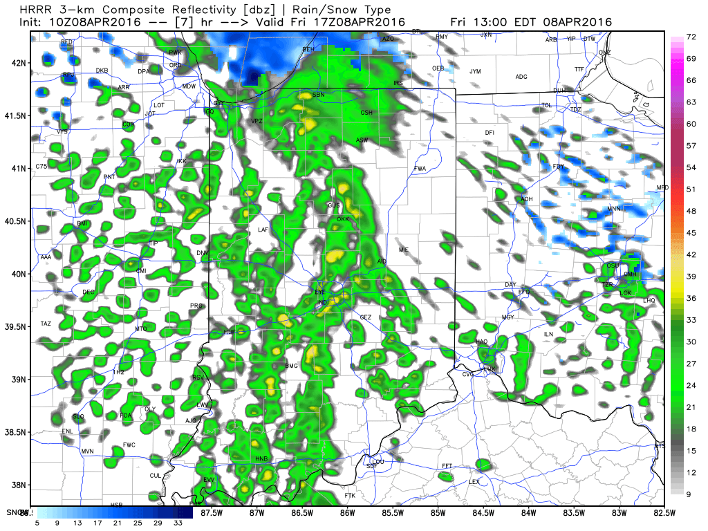 Eventually, as cold air is reinforced this evening, all precipitation should transition to snow this evening into early Saturday. While it won’t snow for everyone, scattered heavy snow bursts will be plenty capable of producing a quick coating for some neighborhoods tonight.
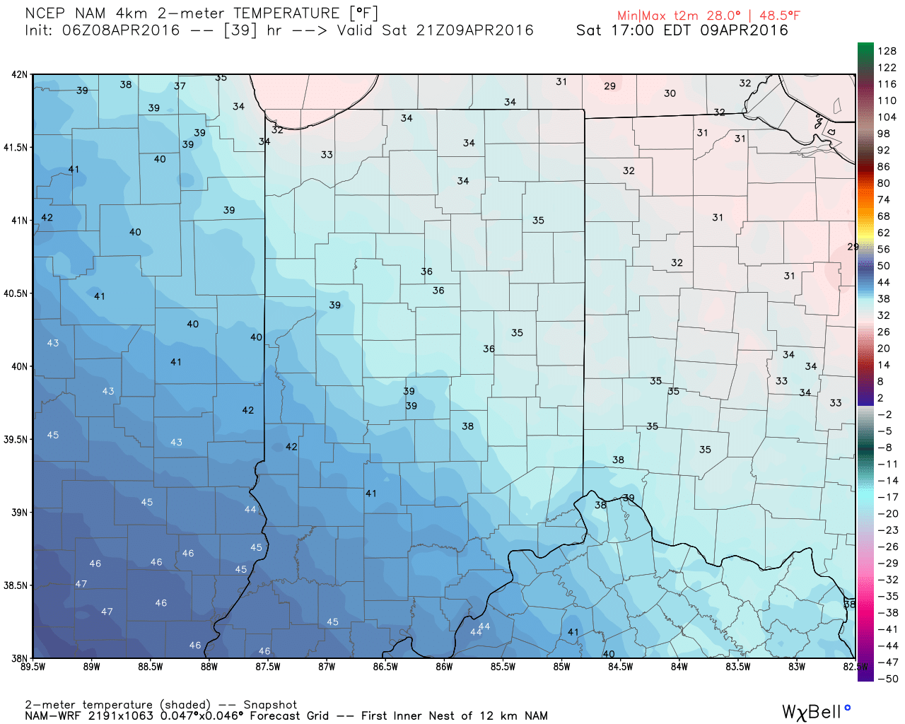
 Speaking of the cold, highs Saturday will remain in the 30s for most. Yes, this is April…
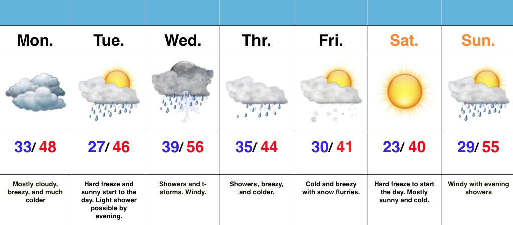
 Hang in there, friends. After another chilly week next week, changes are in the offing for late month. Warmth is coming….eventually. 🙂