Scattered PM Strong Storms…

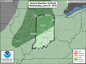
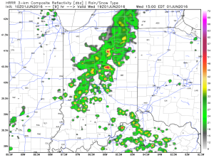
A cold front will slice into a warm and very humid air mass this afternoon.  Accordingly, we anticipate scattered strong storms to develop after the lunchtime hour, continuing into the early evening.
1

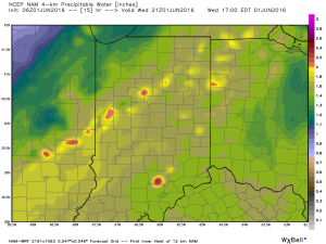
2As precipitable water values climb to around 2″, locally heavy rainfall will accompany any storms that develop.
3We caution that the key word here is “scattered.”  There will be “haves and have nots” when it comes to rainfall totals by tonight.  Some neighborhoods may receive less than 0.10″ while others receive over 1″.

As we look ahead, active times continue going into the weekend, with the potential of strong thunderstorms Saturday as an anomalous trough digs southeast into the Ohio Valley.
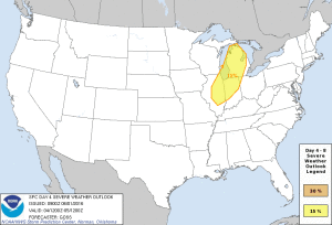
D4Unseasonably cool air will follow for the mid range.
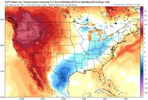
gfs-ens_T2maMean_us_4A fresh 7-day will be up later today!  Have a nice Wednesday, friends.
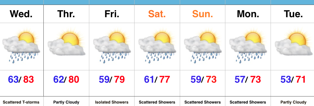
Local Downpours Wednesday…

Screen Shot 2016-05-31 at 10.09.58 PMHighlights:

  • Scattered Midweek Storms
  • Cooler and unsettled this weekend
  • Cooler than average open to next week

Haves And Have Nots…A cold front will move through the region Wednesday evening and result in scattered showers and thunderstorms, especially in the afternoon and evening hours.  While there will be some localized heavy downpours, not everyone can expect heavy rain tomorrow.  We’ll note a wind shift and drier air Thursday.

As we progress into the upcoming weekend, a trough will begin to carve itself out over the region.  Not only will this provide a cooler air mass, but multiple upper level disturbances will track through the region, helping keep things rather unsettled at times this weekend into early next week.  While we’re not talking about heavy rain, there will be rainy periods at times as these pieces of upper level energy move through.

Upcoming 7-Day Precipitation Forecast:

  • Snowfall: 0.00″
  • Rainfall: 0.50″-1.00″ (locally heavier totals)

Better Chance Of Afternoon/ Evening Storms Today; Big Cool Down Looming…

Screen Shot 2016-05-28 at 7.59.13 AMHighlights:

  • Scattered PM storms fire up
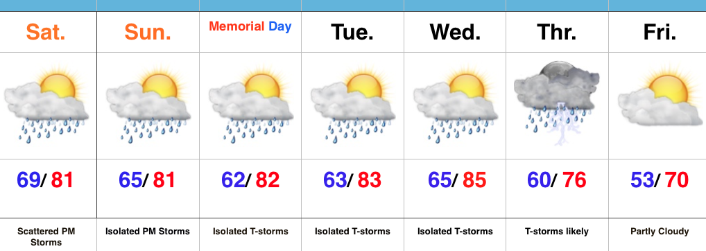
  • Warm, humid, but mostly dry race day and Memorial Day
  • Big cool down looming

Better Coverage Of PM Storms…A warm, humid, and increasingly unstable air mass will be present today.  Throw in a couple weak upper level disturbances lifting through the region and we should see a better coverage of afternoon/ evening thunderstorm activity when compared to the past couple days.  Some locally heavy rainfall will be possible.

Thankfully, aerial coverage of showers and storms will diminish Sunday and Memorial Day, itself.  We’ll maintain mention of an isolated to widely scattered storm.  Conditions will remain warm and humid.

Our next best chance of rain and storms will push in Thursday.  This is in association with a cold front.  Behind this cold front, expect a big push of refreshing, unseasonably cool air to blow into town to close the work week.  Temperatures grow cooler next weekend (lows at night in the 40s are possible).