Turning Less Humid Today; Much Cooler Mid Week…
 Highlights:
- Scattered PM shower/ storm threat through early week
- Cool, sunny mid week
- Heat cranks next weekend
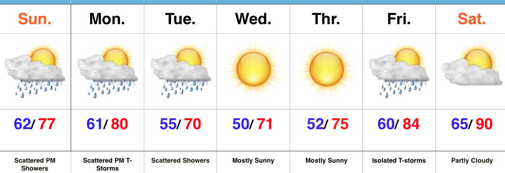
Turning Cooler By Midweek…After a significant rain event (on average 0.75″-1.4″ fell across central IN) Saturday, we’re starting our Sunday morning off with partly-mostly cloudy skies. A much less humid brand of air will build in today, but we can’t completely shake the rain chances. A scattered afternoon shower is possible.
Reinforcing cooler air will move in Monday and the associated boundary will likely do a better job kicking off scattered shower and thunderstorm activity as it moves through the region.
We’ll turn much cooler and refreshing for mid week, along with lots of sunshine and dry conditions. As you’d imagine, the refreshing air doesn’t last long this time of year and a SW flow will help temperatures and moisture levels surge to close the work week. The hottest air of the year so far is slated for next weekend.
Upcoming 7-Day Precipitation Forecast:
- 7-Day Snowfall: 0.00″
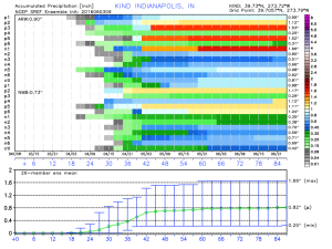
- 7-Day Rainfall: 0.25″-0.50″
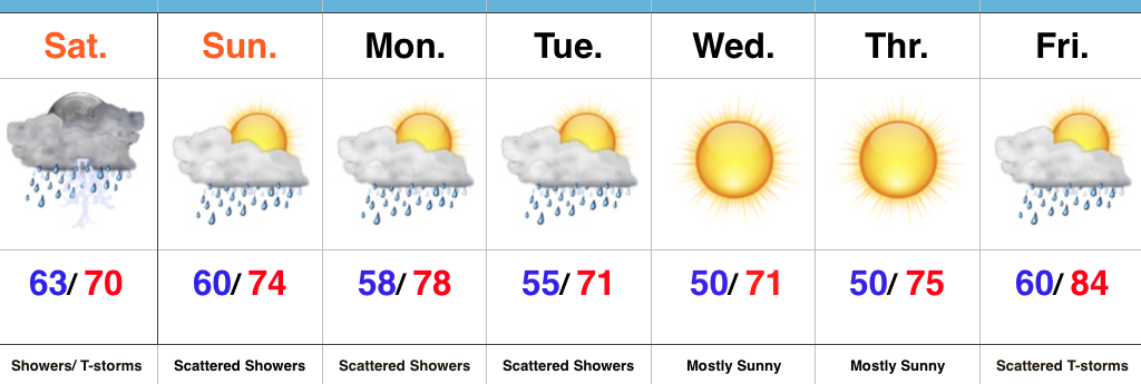
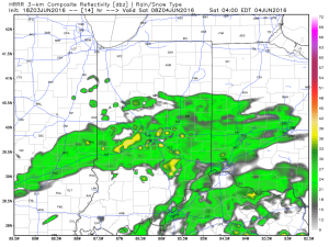 Steady rain and embedded thunderstorms will continue through the morning hours and into the afternoon.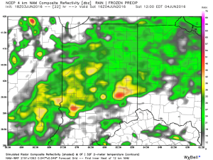
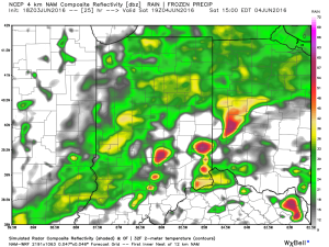 Eventually, a cold front will sweep through the state Saturday night and help “slosh” the widespread rain shield east of the region. By the time this happens, we expect widespread rainfall totals between 0.50″ and 1.00″ across central IN (with locally heavier totals).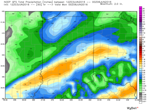
 Cooler weather will push in this weekend and continue into early and middle parts of next week. While the widespread rain will come to an end, upper level energy will remain and could help ignite scattered showers at times (particularly during the afternoon and evening hours) into early next week.