Warm Today; Cold Changes Await…
 Highlights:
- Breezy and warm close to the work week
- T-storms Friday evening
- Cold weekend with Saturday flurries
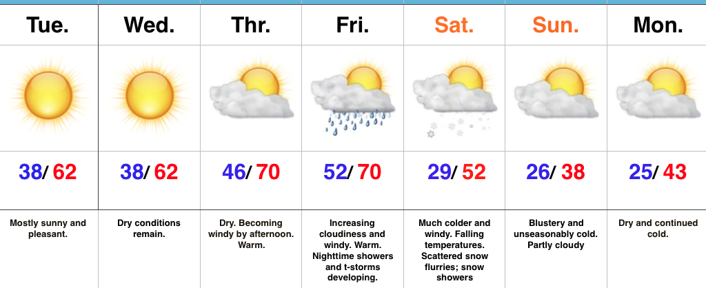
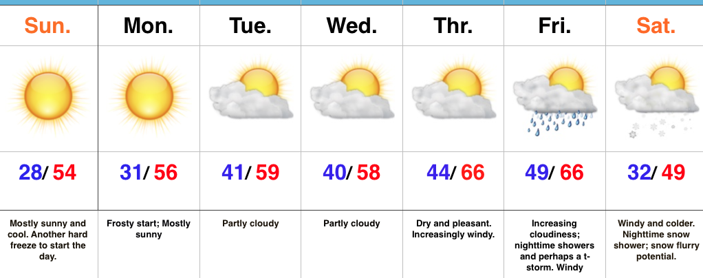
Changeable Weather…If you don’t find a way to get outside today something is wrong. Let the boss know IndyWx.com gave you permission to spend an extended lunch outdoors today. 🙂 Sunny skies and unseasonably warm temperatures will be with us through the day, along with an increasingly gusty afternoon wind.
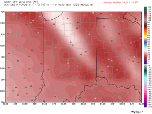
Clouds increase Friday and showers develop Friday evening. A couple of stronger thunderstorms are also possible as the front sweeps through the state. While we’re not forecasting a widespread severe wind potential, one or two strong and gusty storms are possible. The front will hit like a wall Friday night and feature an abrupt wind shift and plummeting temperatures. That high Saturday in the lower 40s will be predawn as most of the day will be spent in the 30s with gusty winds and snow flurries. Steadier snow squalls will be found across north and northeast IN.
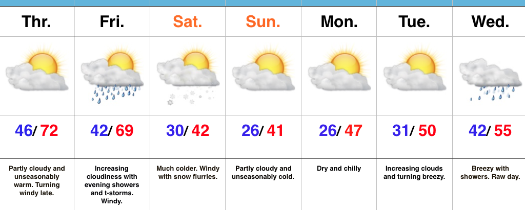
Dry, chilly weather will be with us for the remainder of the weekend, continuing into the beginning of the Thanksgiving week ahead. Our next storm system is slated for the big travel day Wednesday. Expect showers and gusty winds followed by colder weather for Thanksgiving, itself.
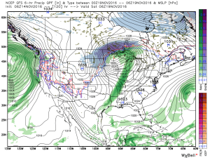
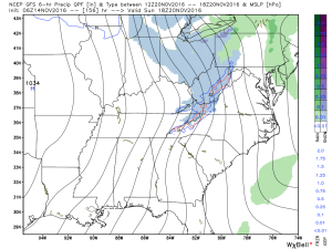
Upcoming 7-Day Precipitation Forecast:
- Snowfall: Trace
- Rainfall: 0.50″ – 0.75″