The Heat (And Humidity) Is On This Indy 500; Memorial Day Weekend…

As we grow closer to the big Indy 500 and Memorial Day weekend, forecast guidance continues to back away from what at one point looked like a rather unsettled weekend.  Instead, it appears as if heat and humidity will grab the headlines.  While we can’t rule out an isolated to widely scattered thunderstorm (best chances of that coming Sunday and Monday), most will remain rain and storm free this weekend.  Even if you’re one of the “lucky ones” to get under a storm, it’ll pass quickly and sunshine will return.

While “tropical mischief” approaches the central Gulf Coast this weekend, an upper level ridge will dominate our weather.  This supports the drier trend the models are now going to and also will help boost temperatures.  We forecast highs at or around the 90° mark Saturday through Memorial Day- well above the average high of 78°.

The other big story, especially for those planning to attend the race, will be increasing humidity over the weekend.  Forecast dew points will approach and exceed the 70° mark Sunday afternoon, providing a very tropical feel to the air.

Storms Rumble In This Evening; Warm Open To Meteorological Summer…

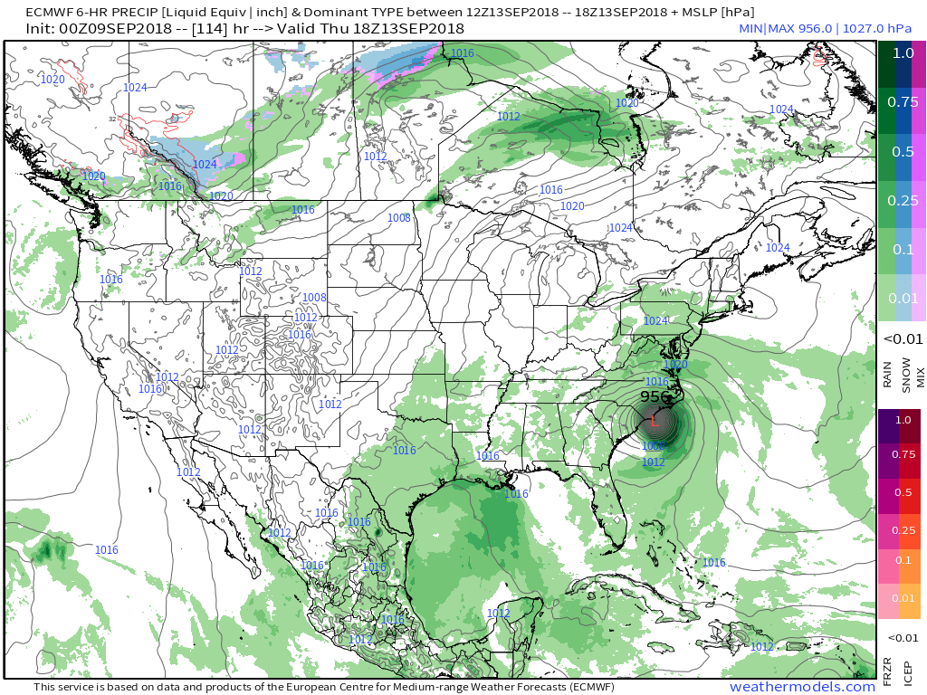
A stalled frontal boundary remains draped across the Ohio Valley this morning.  We note ongoing showers across northern Indiana and Illinois, along with considerable cloudiness in association with the front.  Also of interest is the disturbed weather off the FL peninsula this morning.  Models differ on the evolution of things, but both the GFS and European model suggest we may have a tropical depression or weak tropical storm on our hands by the Memorial Day weekend.  Is it more of a threat to the central Gulf Coast region, such as the European implies, or more of a Carolina event?  It’s simply too early to know, but it’ll be fun to watch things play out this week.

Back here on the home front, a quiet start to our Monday will turn stormy at times this evening as the front nears.  We think best coverage of showers and thunderstorms will come between 5p and 10p.  There will be some winners and losers when it comes to rainfall amounts by midnight.  Some can expect over an inch in the stronger storms while others may only see a tenth of an inch, or so.  Something that must be taken into forecasts moving forward is the tendency of most model data (high resolution and global data alike) to “over forecast” rainfall amounts as of late.  Also of note is for the potential of a couple of strong to severe storms to develop this evening.  We always have to be wary of fronts draped across central Indiana as they’ve been known to help tornadic activity spin up.  We’ve lost count of how many slight risk days with warm fronts nearby that turn busy…  If you’re planning to be outdoors this evening, please have a means of receiving the latest watches and potential warnings that may be issued.

High pressure will build in for the midweek period and supply plentiful sunshine along with continued warmer than average conditions.  Overnight lows will fall into the upper 50s (couple of degrees above average) with the drier air mass in place, but afternoon highs will continue to climb into the lower and middle 80s (around 10 degrees above average).

Good news this morning for all of the Race Day and Memorial Day weekend activities is that forecast models are backing off (seeing a common theme?) on the magnitude and overall coverage of showers and thunderstorms associated with our next system.  While we’ll maintain widely scattered thunderstorms in our Saturday-Monday forecast, much more of the time period will be free of any rain and storm activity.

Longer term, thoughts are shifting towards the open to meteorological summer (where is this year going?!).  The GFS ensemble suggests the overall warm pattern remains intact as we open a new season with widespread warmth expected through the first few days of the June.

More Rain For Some; Watching Nate…

Highlights:

  • Wet close to the work week for some
  • Saturday storms
  • Watching Nate

Unsettled Close To The Work Week…Thursday’s weather was just what the doctor ordered!  Officially, here at IndyWx HQ, we recorded 0.73″.  Many neighborhoods throughout central IN accumulated more than 1″ of much needed rainfall!  Thankfully, additional rain chances are present as we wrap up the work week.  Most widespread showers and embedded thunder will impact the northern half of the state Friday, especially the northern third of the state.

As we flip the page over to the weekend, mostly dry conditions can be expected, with the exception of a skinny line of thunderstorms that will blow through the state Saturday evening.  These will come and go rather quickly and we’ll get into a slightly cooler and drier regime to wrap up the weekend.

Attention this weekend will be what comes of Nate.  Overall, ideas haven’t changed over the past 24 hours, including an eventual late weekend landfall along the north-central Gulf Coast.  That said, precise all-important details concerning overall strength are still debatable.  Interests along the north-central Gulf Coast should monitor updates closely.  Here on the home front, we note subtle differences between the GFS and European in regards to inland impacts.  For now, we’ll go with a blend between the two, thinking most of the more significant, steady rains remain southeast of central Indiana.

Eventually a cold front will sweep through the state Tuesday night.  This will result in a NW wind shift and cooler air spilling in here later next week.

Upcoming 7-Day Precipitation Forecast:

  • Snowfall: 0.00″
  • Rainfall: 0.25″ – 0.75″