Updated 11.06.22 @ 10:47a
“Wintry” is certainly not a word that comes to mind when describing the first week of November ‘22. Indianapolis is running a whopping 11.4° above normal month to date.

The upcoming several days will feature additional well above normal warmth, including highs in the mid 60s to around 70°. The reasons behind the warmth have been well advertised between the MJO and teleconnections. This is all part and parcel to the SST configuration, including the 3rd consecutive La Niña fall.
But things are changing now and arriving right on schedule. It’s wild, really, when you think of the ability to find answers to the future (upcoming pattern evolution) by looking back at the past.
We note the teleconnections are now beginning to align in a manner that will drive colder than normal conditions east. The MJO also has a look that will try and circle back into Phase 6 mid to late month. To add to the complexity of the pattern transition, a late season hurricane will likely hit the Florida peninsula mid to late week before recurving up the eastern seaboard.
A cold front will blow through the state Friday and while it’ll likely be moisture starved, unlike this past front, there will be a sharp temperature drop behind the frontal passage over the weekend.

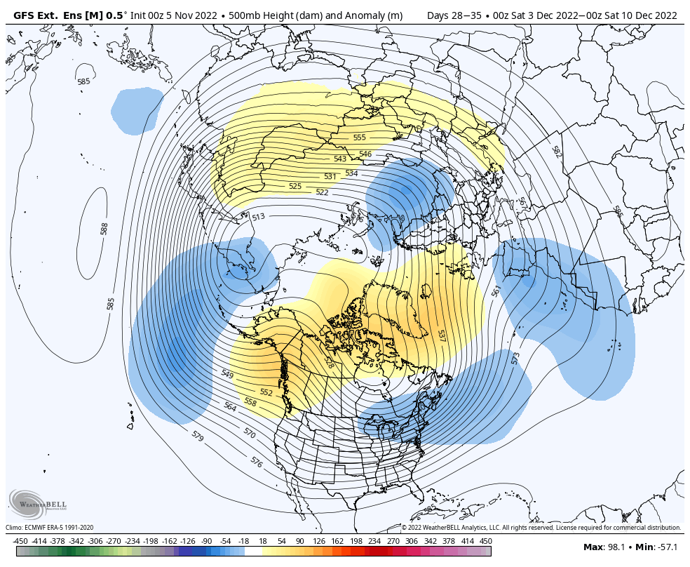
How about a week from today highs are only in the mid-upper 30s and lows may dip into the upper 10s and lower 20s. Indications are that the overall colder than normal regime will have staying power, too. While wholesale pattern transitions can be finicky at the onset, there’s a belief on this front that the overall regime will feature more sustainable cold and eventually opportunities for wintry precipitation as we close November and open up December.

There’s no change to the ideas here of the bulk of the holiday season this year (Thanksgiving to New Years) providing above normal snowfall and below normal temperatures. At the very least, there should be a lot of “fun and games” ahead over the upcoming weeks.
