 Highlights:
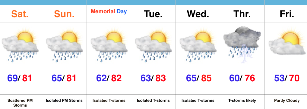
- Scattered PM storms fire up
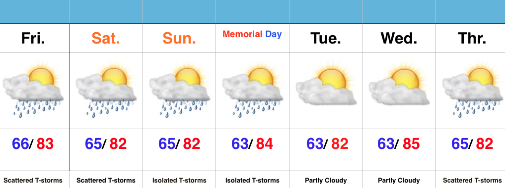
- Warm, humid, but mostly dry race day and Memorial Day
- Big cool down looming
Better Coverage Of PM Storms…A warm, humid, and increasingly unstable air mass will be present today. Throw in a couple weak upper level disturbances lifting through the region and we should see a better coverage of afternoon/ evening thunderstorm activity when compared to the past couple days. Some locally heavy rainfall will be possible.
Thankfully, aerial coverage of showers and storms will diminish Sunday and Memorial Day, itself. We’ll maintain mention of an isolated to widely scattered storm. Conditions will remain warm and humid.
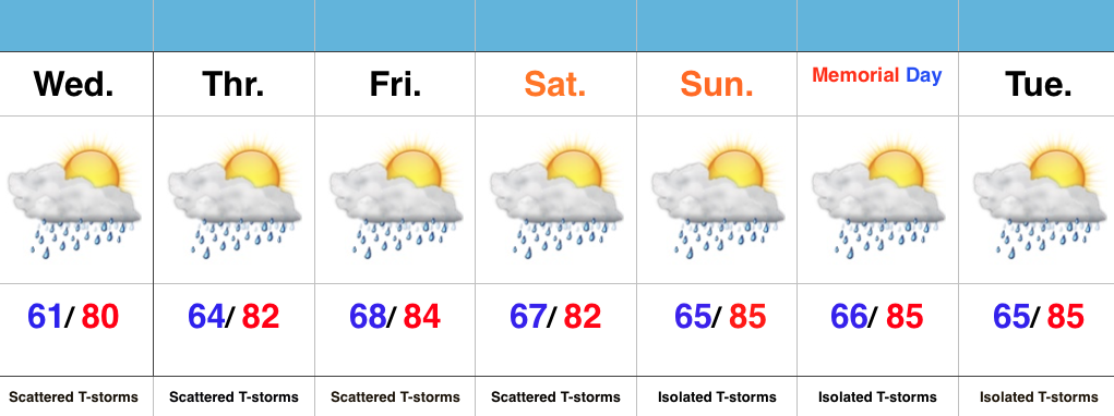
Our next best chance of rain and storms will push in Thursday. This is in association with a cold front. Behind this cold front, expect a big push of refreshing, unseasonably cool air to blow into town to close the work week. Temperatures grow cooler next weekend (lows at night in the 40s are possible).