Afternoon Storms Ahead Of A Much Cooler Push Of Air…
 Highlights:
- Scattered PM storms
- Turning much cooler
- Heat builds this weekend
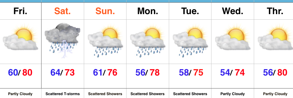
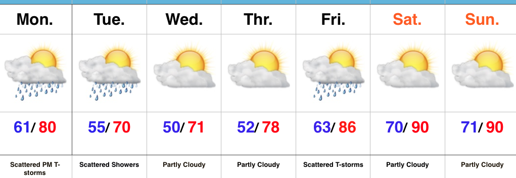
Turning Much Cooler…The sunny start to the work week will give way to scattered thunderstorms this afternoon and evening as a boundary slips through the region. While widespread severe weather isn’t expected, don’t be surprised if a couple storms require warnings later today.
A much cooler air mass will press into central IN tonight and set up a refreshing feel through the middle portions of the work week. We’ll take lows around 50 and highs around 70 any day of the week this time of year!
As we progress into the weekend, the hottest air of the season so far will build in. We expect lower 90s for highs and this hot surge could initially be accompanied by thunderstorms Friday. It’ll be quite oppressive as dew points zoom to around 70.
Upcoming 7-Day Precipitation Forecast:
- Snowfall: 0.00″
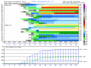
- Rainfall: 0.25″-0.75″
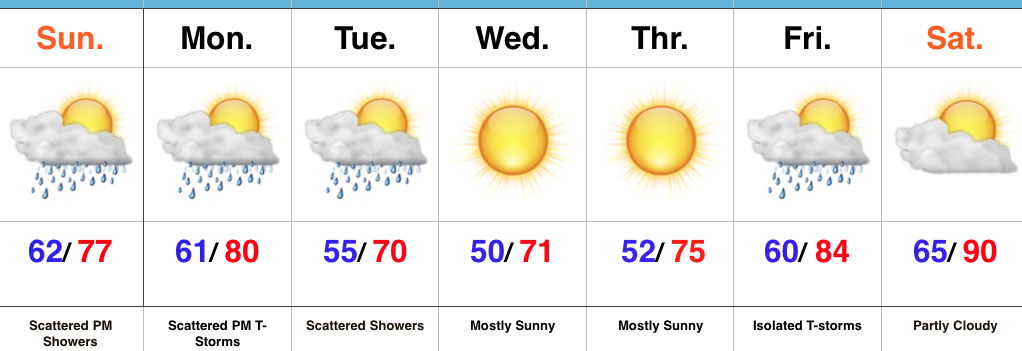
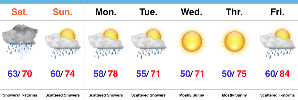
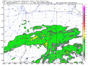 Steady rain and embedded thunderstorms will continue through the morning hours and into the afternoon.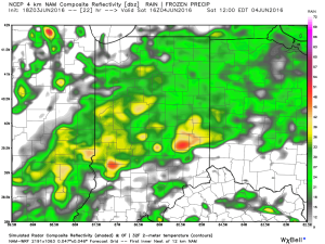
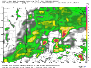 Eventually, a cold front will sweep through the state Saturday night and help “slosh” the widespread rain shield east of the region. By the time this happens, we expect widespread rainfall totals between 0.50″ and 1.00″ across central IN (with locally heavier totals).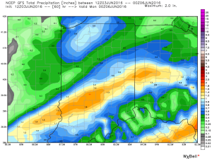
 Cooler weather will push in this weekend and continue into early and middle parts of next week. While the widespread rain will come to an end, upper level energy will remain and could help ignite scattered showers at times (particularly during the afternoon and evening hours) into early next week.