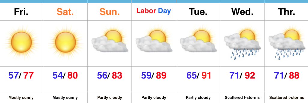
Drier, Cooler Air On Our Doorstep…
 Highlights:
- Greatest storm coverage and intensity this morning
- Turning much drier and cooler
- Reinforcing mid week cool air
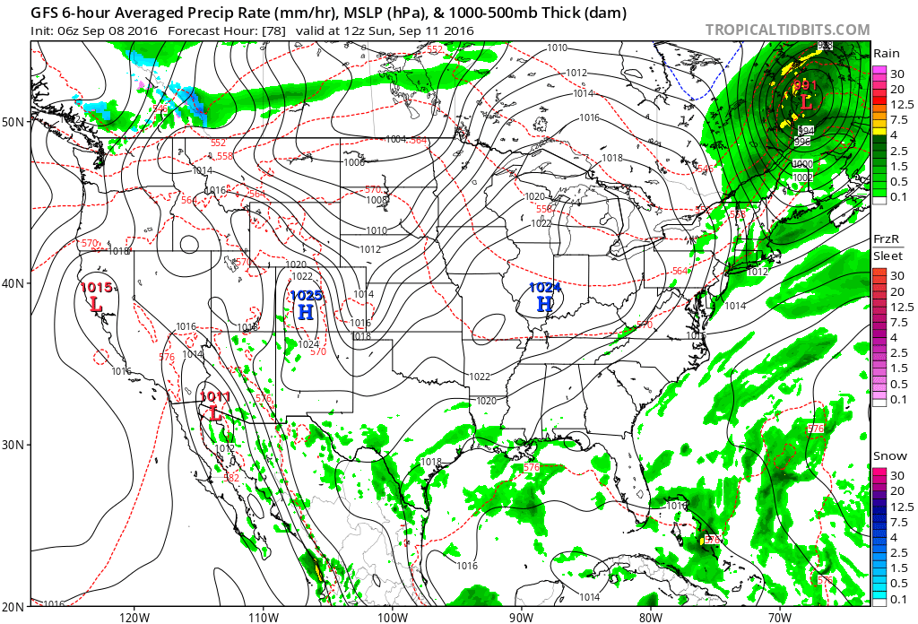
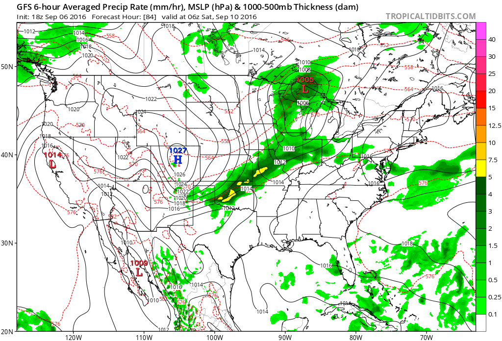
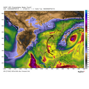
Turning Much Drier This Evening…It’s been a wet and stormy time of things as of late. Locally heavy rain will continue to accompany stronger storms this morning, but we note greatest storm coverage should begin to shift ENE as the morning progresses into afternoon. Renewed showers will likely develop this afternoon as the cold front moves through the state. We’ll then enjoy a marked NW wind shift this evening and that will help push much drier and cooler air in to help create a true fall feel tonight. The second half of the weekend look beautiful- sunny and crisp!
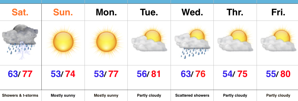
Much needed dry time will be with us for the balance of the upcoming work week. We note a reinforcing push of cool air mid week that could spark a shower, but rainfall amounts don’t look impressive (the air will be much drier than the “soupy” feel we’ve been dealing with for the past week). A more significant rain-maker should arrive next weekend…
Upcoming 7-Day Precipitation Forecast:
- Snowfall: 0.00″
- Rainfall: 1″-2″


 It’ll be a downright hot week, as well. Temperatures will top out around 90 through the end of the short work week.
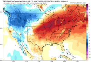 As we rumble into next weekend and the following week indications continue to point towards wetter and cooler times.
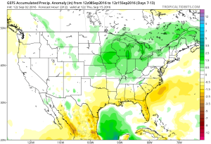 Early numbers off the press suggest 1″-2″ rains possible next weekend.
 It’s possible the first push of widespread 40s loom around the middle of the month. Time will tell…