Strong Storm Potential & Old Man Winter Comes Knocking Next Week…
The upcoming work week will feature a busy time of things as the fight between fall and winter begin. Initially, it’ll be the warmer side of things that will promote the potential of strong and gusty storms Monday night into Tuesday, but by mid and late week, drastically colder conditions will lead to the chance of scattered snow showers…
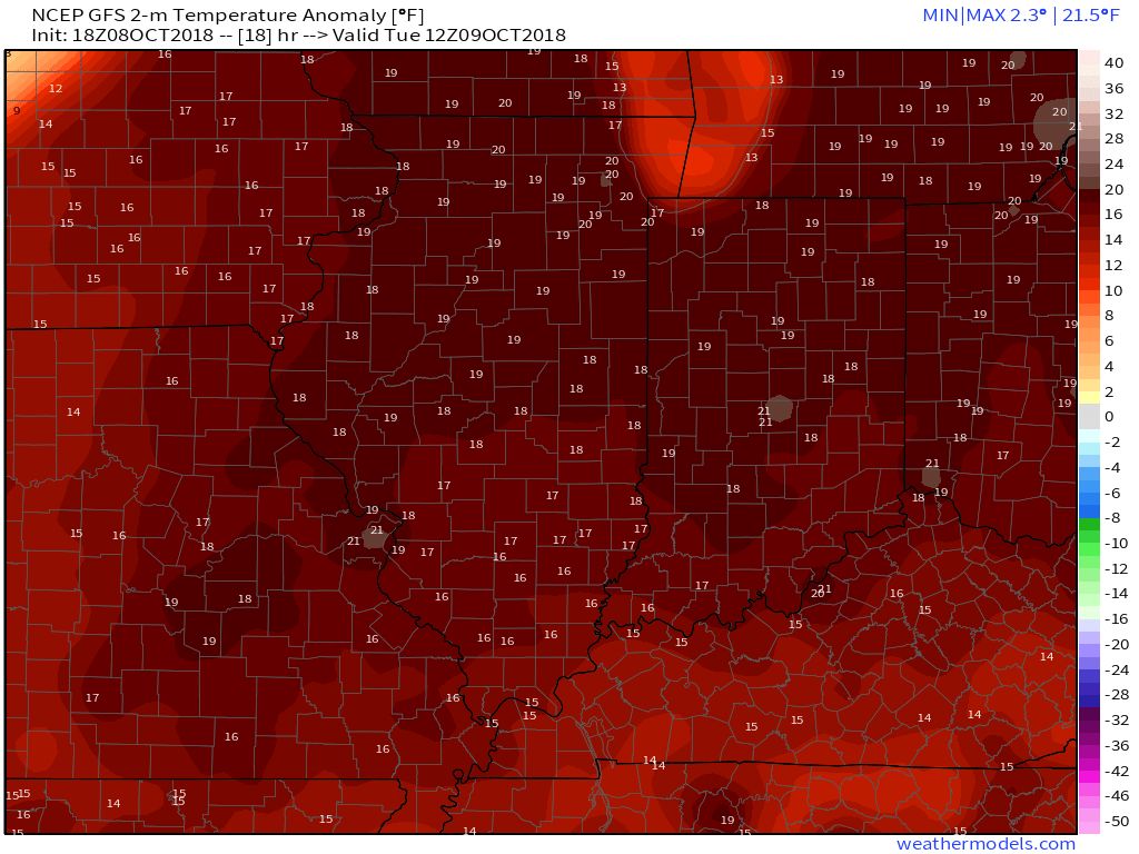
A couple of showers and gusty southerly winds will help close out the weekend, but it’s the storm system that moves in Monday night and Tuesday that has more of our attention. Surface low pressure will move off the lee of the Rockies and on into MO and IL Tuesday- strengthening along the way and eventually tracking through the Great Lakes Tuesday evening. Not only will this deliver another round of hefty rains across central parts of the state, but we may have to deal with a couple of strong to severe storms (wind being the biggest concern).
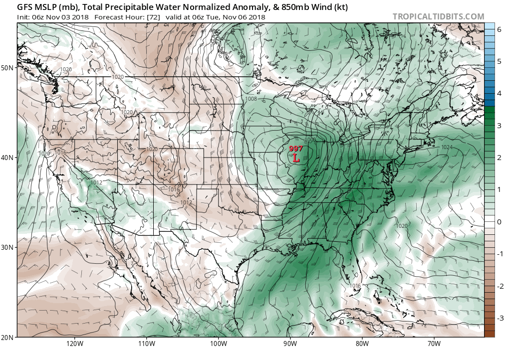
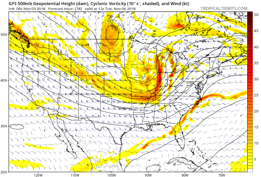 Additional rainfall totals of 1″ to 2″ with locally heavier amounts are a good bet in that Monday night – Tuesday time frame.
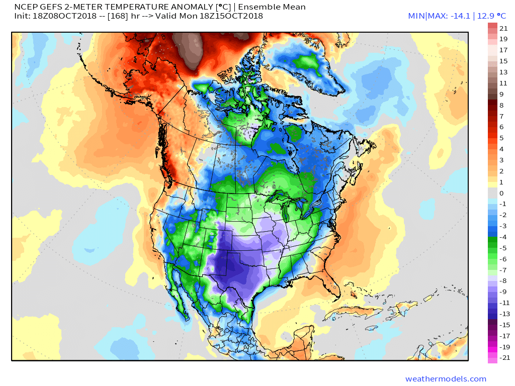
 While we’ll certainly turn colder behind this storm system, the true early season push of arctic air will wait a couple of days to arrive- Thursday afternoon into Friday. Not only will this be the coldest air of the season (lower-middle 20s Friday morning and likely colder next Saturday), but the first flakes of the season are also likely to fly across central Indiana to wrap up the work week. Furthermore, Snow Belt communities can expect the first “shoveable” snow of the season. Giddy up!
 Don’t look now, but more “fun and games” await the following week…
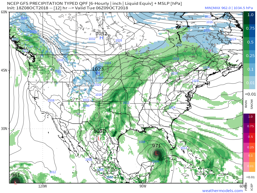
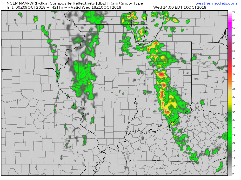
 A cold front will sweep through the region Wednesday evening and will lead to a better chance of more concentrated showers and thunderstorms for our hump day. Precipitable water values (PWATs) will approach 2″ Wednesday afternoon which is almost unheard of by October standards. As a result, a couple of the storms may be accompanied by locally heavy rainfall.

 Winds of change will be blowing in earnest Wednesday night and Thursday morning and a legit fall feel will greet us out the door! Most of central Indiana can expect temperatures to be falling into the 40s Thursday morning along with a nice northwest breeze.
 Longer term, a new storm system (including remnant moisture from Sergio) is expected to impact our weekend weather. We’ll trend our forecast wetter with reviewing some of the latest data. Sunday appears to be the wettest day.

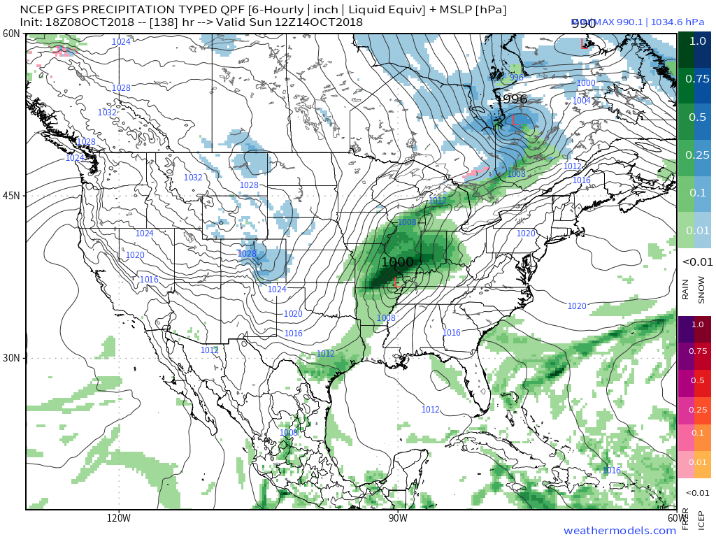 An even more impressive push of fall air will follow on the heels of Sergio’s remnants early next week, including the potential of frost for more of the Ohio Valley, including central Indiana.