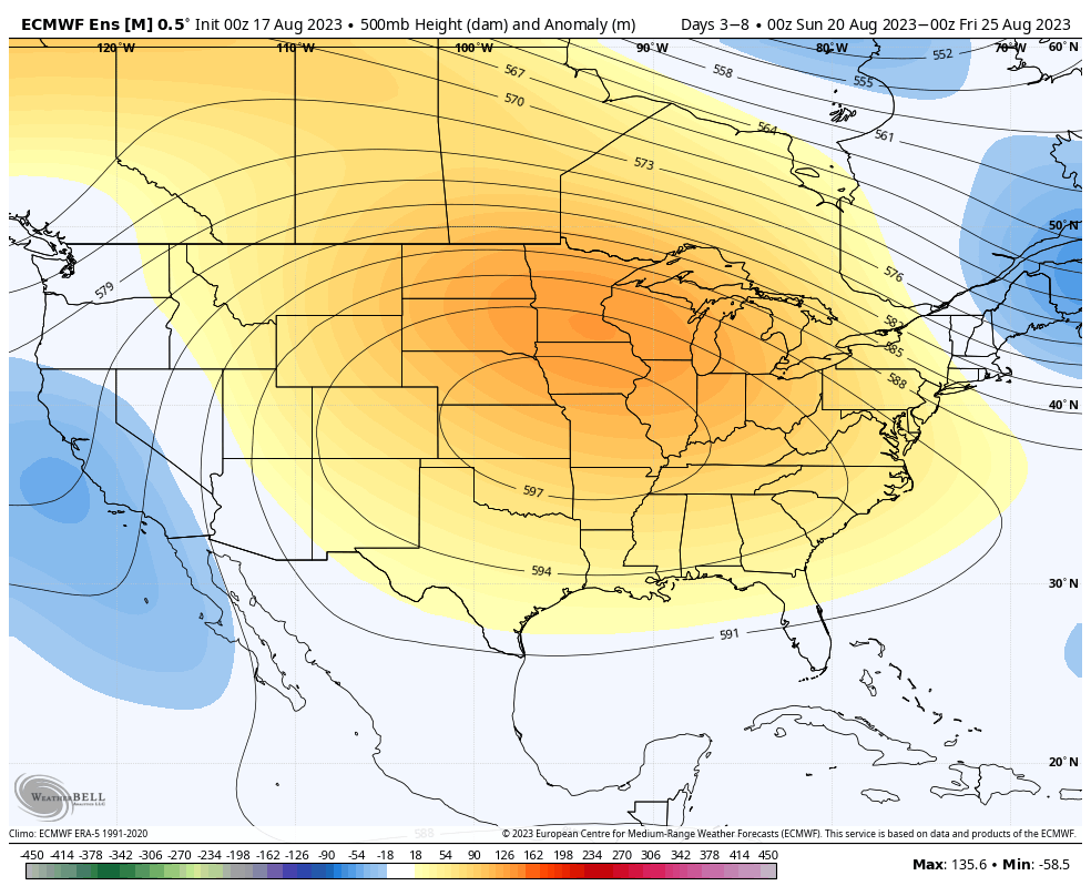
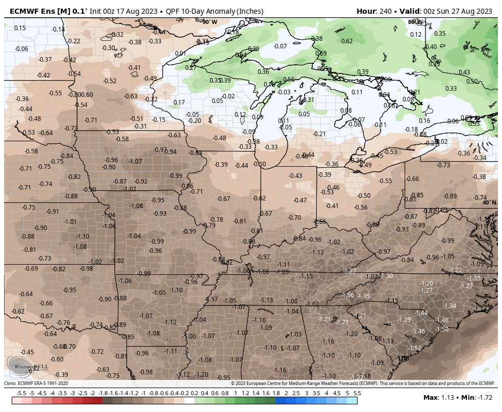
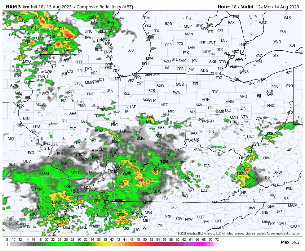
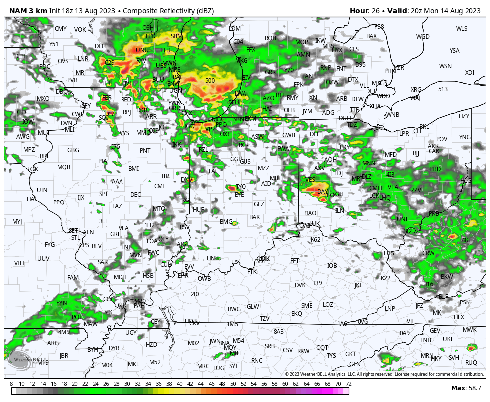
You must be logged in to view this content. Click Here to become a member of IndyWX.com for full access. Already a member of IndyWx.com All-Access? Log-in here.
Category: T-storms
Permanent link to this article: https://indywx.com/2019/06/14/friday-evening-all-access-video-update-a-wet-stormy-weekend-awaits/
Jun 14
Fall-Like Conditions Set To Be Replaced By Periods Of Heavy Rain…
Temperatures are in the 40s area-wide this morning across central Indiana. Speaking of the 40s, they extend all the way south into the north Georgia mountains as we start our Friday. (Hard to believe for mid June). Widespread below normal temperatures continue to dominate the eastern portion of the country.
High pressure will remain in control of our weather today and help feature dry conditions with plentiful sunshine and pleasant temperatures. Highs today will top out in the middle 70s after the crisp start to the day.
Unfortunately, the cool, dry conditions will quickly give way to an increasingly moist airmass overnight into Saturday morning and rain will follow. The reason? We’ll be on the backside of the area of high pressure with a southwest flow aloft helping transport moisture northeast into the Ohio Valley. At the same time, a series of warm fronts will pass over the weekend, featuring periods of more concentrated storms and associated heavy rainfall. Finally, a cold front will push south Sunday into Monday before stalling out just south of our area Tuesday.
While this may provide a briefly drier period Tuesday, we’ll have to contend with periods of heavy rain and storms before hand. More specific around timing, we think rain may begin as early as 11p to midnight this evening before becoming more widespread and heavier Saturday morning. We’d suggest having a Plan B for outdoor activities this weekend as more time than not, it’ll likely be raining across central Indiana.
As mentioned earlier, we’ll replace the cool, dry air mass with more of a tropical feel this weekend and at times precipitable water values (PWATs) will approach 2″. This raises our confidence in the potential and likelihood of heavy rainfall.
Widespread 1″ to 2″ rainfall totals can be expected across central Indiana this weekend, with locally heavier amounts. After a briefly drier period Tuesday, rain will return by the middle of next week. Unfortunately, widespread 7-day totals (ending Thursday night) will likely be in the 2.5″ to 3.5″ range across central Indiana…
Permanent link to this article: https://indywx.com/2019/06/14/fall-like-conditions-set-to-be-replaced-by-periods-of-heavy-rain/
Jun 13
VIDEO: Fall-Like Close To The Work Week Gives Way To An Unsettled Weekend; Reviewing Updated Data Into The Fall…
You must be logged in to view this content. Click Here to become a member of IndyWX.com for full access. Already a member of IndyWx.com All-Access? Log-in here.
Permanent link to this article: https://indywx.com/2019/06/13/video-fall-like-close-to-the-work-week-gives-way-to-an-unsettled-weekend-reviewing-updated-data-into-the-fall/
Jun 12
VIDEO: Evening Thoughts Around The Pattern Into Late June-Early July…
You must be logged in to view this content. Click Here to become a member of IndyWX.com for full access. Already a member of IndyWx.com All-Access? Log-in here.
Permanent link to this article: https://indywx.com/2019/06/12/video-evening-thoughts-around-the-pattern-into-late-june-early-july/
Jun 11
Unseasonably Cool; Talking Rain Chances Into Early Next Week…
We’re enjoying unseasonably cool and refreshing air this morning (to the tune of 10-15 degrees below average across central Indiana). The extent of the refreshingly cool air is impressive- spanning all the way into northern TX and parts of OK this morning!
A gorgeous day is on tap with plentiful sunshine and low humidity. Unfortunately, rain still appears to return to the picture on Wednesday. Scattered showers will be most numerous Wednesday afternoon, continuing into Thursday morning. Rainfall should average between 0.10″ to 0.25″ for most central Indiana rain gauges with a few heavier totals across eastern areas.
The cold front and upper level energy associated for delivering the Wednesday rain will swing through here early Thursday, resulting in a gusty northwesterly wind and fall-like air through the day. Highs will only top out in the mid-upper 60s and lows Friday morning will fall into the upper 40s.
High pressure will remain in control of our weather to close the work week, but as we’ve grown all too accustomed to over the past couple of months, we don’t expect prolonged dry time. Instead, our weather will turn unsettled yet again over the weekend into early next week. With a moist southwesterly air flow returning, periods of locally heavy rain can be expected in this setup.
Permanent link to this article: https://indywx.com/2019/06/11/unseasonably-cool-talking-rain-chances-into-early-next-week/
Jun 09
Localized Bands Of Flooding Rain Possible This Afternoon-Evening…
An upper level low will have control of our weather today. We’re seeing widespread mostly light rain this morning and that will begin to diminish as we move into the late morning and early afternoon.
We’ll then likely see a few breaks in the cloud cover and that will serve to provide just enough energy to help showers and thunderstorms redevelop by mid to late afternoon. With a juicy air mass in place (precipitable water values will exceed 2″ in spots), locally heavy rain is likely.
With weak steering flows in place this afternoon and evening, the concern we have is that localized bands of this heavy rain/ embedded thunder will “train” over the same areas, potentially leading to flash flooding in localized spots across central Indiana.
We expect these south-to-north moving bands of rain to begin to organize towards the 4p to 6p time frame, continuing into the evening and nighttime hours. Where the heavier rain bands organize, a quick 2″ to 3″ of rain is likely this evening.
More around the #AGwx report for the upcoming week will be posted later this morning!
Permanent link to this article: https://indywx.com/2019/06/09/localized-bands-of-flooding-rain-possible-this-afternoon-evening/
Jun 08
Rain Coverage Increases Over The Weekend; Blast Of Fall-Like Air Next Week…
Upper level energy will get pulled north into the Ohio Valley region over the weekend. This will result in an increase in cloudiness and better coverage of showers at times this afternoon through
As we time things out, light showers will move northwest (opposite of the usual direction) across the region beginning this afternoon, but more concentrated heavier downpours are a good bet tonight into Sunday morning.
We’ll likely get into some drier conditions Sunday afternoon, but redevelopment of scattered showers and thunderstorms is likely by evening.
While there will be plenty of dry time this weekend, do expect periods of wet weather at times. Everyone won’t see heavy rain (0.5″ to 1″ on average for weekend totals), but with this kind of system, there will likely be heavier bands of rain over the next couple of days. High resolution guidance is likely picking up on this, understanding it’s nearly impossible to pinpoint with certainty where those heavier rain bands set up.
Drier air will arrive on the scene early in the work week with increasing sunshine anticipated Monday into Tuesday. Temperatures will run well below average for midweek with reinforcing unseasonably cool air blowing into town to wrap up the work week (40s still a good bet with highs only in the 60s).
Permanent link to this article: https://indywx.com/2019/06/08/rain-coverage-increases-over-the-weekend-blast-of-fall-like-air-next-week/
Jun 06
Pleasant Stretch Of Weather; Unseasonably Cool Temperatures Dialed Up Next Week…
After an active evening across central Indiana on Wednesday, I’m excited to say the upcoming 48-72 hours looks much calmer overall. All of the “action” will be off to our south the next couple of days with mixed clouds and sun and seasonable warmth dominating across central Indiana.
Highs today and Friday will top out in the lower to middle 80s.
While we’ll remain dry across central Indiana to wrap up the work week, better chances of showers will remain across far southern portions of the state (closer to the influence of the upper low swirling across the southern Plains and into the Ark-La-Tex region tomorrow).
The upper low will move closer to the region over the weekend and result in better shower coverage as we move into Saturday and Sunday (still not looking at wash-outs either day).
An average of various computer models prints out rainfall amounts between 0.50″ and 1″ in the Saturday through Monday time period.
High pressure will build in Tuesday and Wednesday, supplying a return of dry conditions.
A cold front and associated area of low pressure will approach Thursday and this will serve to deliver a round of scattered thunderstorms as we make the transition towards next weekend. A few gusty storms are a good bet Thursday with this frontal system. With this being a week out, we’ll continue to keep an eye on things and be able to get more specific with time. Perhaps as big of a story will be the unseasonably cool air that will blow into town behind the front to close next week. Lows in the 40s and highs in the upper 60s to lower 70s seem likely and a far cry from what we’d normally expect for mid-June.
Permanent link to this article: https://indywx.com/2019/06/06/pleasant-stretch-of-weather-unseasonably-cool-temperatures-dialed-up-next-week/
Jun 05
VIDEO: Damaging Wind Potential With Storms This Evening; Quiet Close To The Week…
You must be logged in to view this content. Click Here to become a member of IndyWX.com for full access. Already a member of IndyWx.com All-Access? Log-in here.
Permanent link to this article: https://indywx.com/2019/06/05/video-damaging-wind-potential-with-storms-this-evening-quiet-close-to-the-week/
Jun 04
Evening All-Access Video: It’s Not All “Doom And Gloom;” Updated Thoughts Around Late Week-This Weekend…
You must be logged in to view this content. Click Here to become a member of IndyWX.com for full access. Already a member of IndyWx.com All-Access? Log-in here.
Permanent link to this article: https://indywx.com/2019/06/04/evening-all-access-video-its-not-all-doom-and-gloom-updated-thoughts-around-late-week-this-weekend/