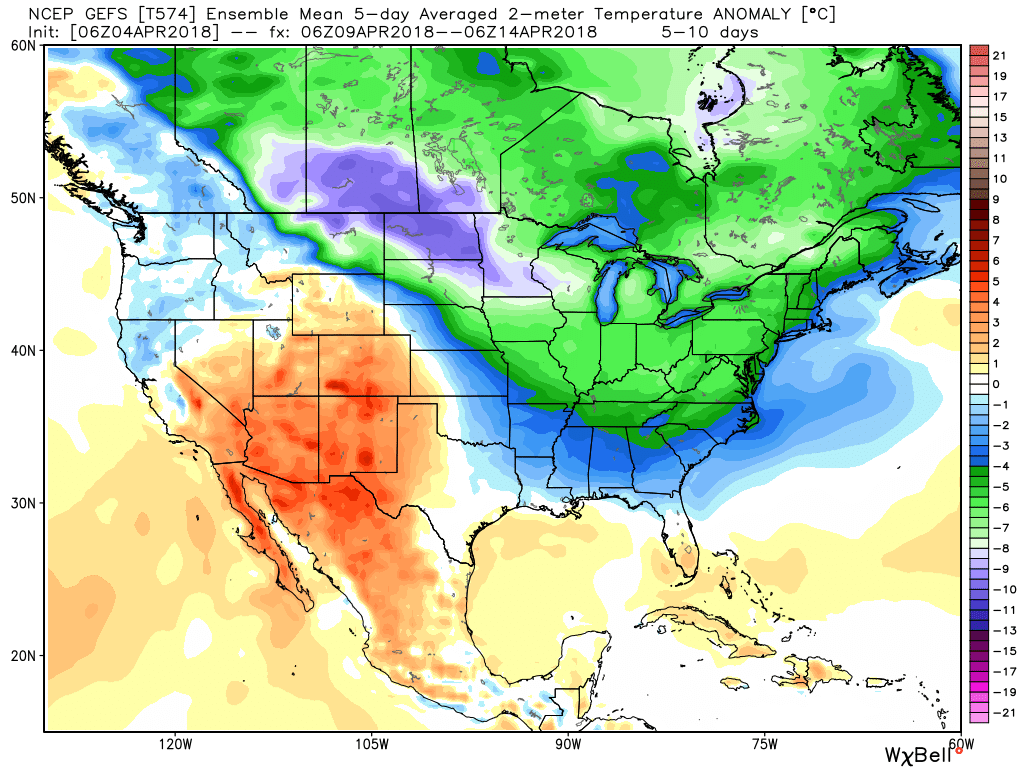
An anomalous pattern will result in unseasonably cold air this weekend. A cold front will blow through the state this evening and while a period of snow will accompany the FROPA (frontal passage), the bigger deal will be the weekend cold. Keep in mind, averages for the weekend include lows of 40° and highs in the lower 60s.
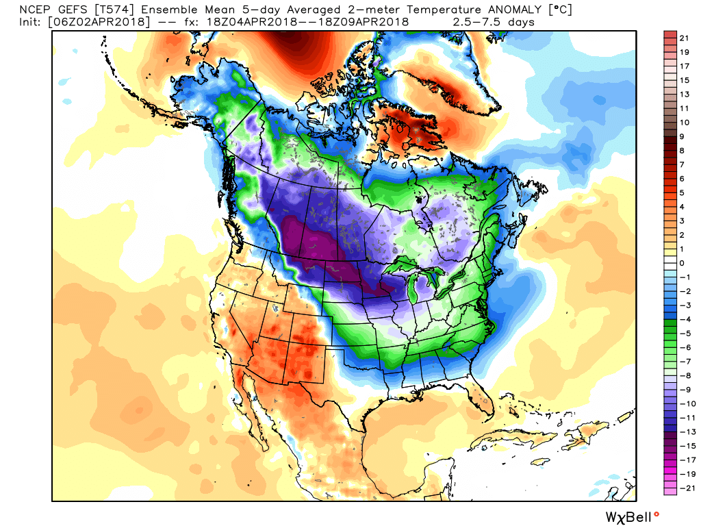
An anomalous weather pattern will grip the region this weekend.
The pattern will deliver a feel more like mid-February (when highs average in the lower 40s and lows fall into middle 20s), as opposed to early-April.
Most of Saturday will be spent in the 30s, and the coldest morning should come Sunday with widespread lows in the middle 20s.

Highs around 40 would be “normal” for mid-Feb and a good 20+ degrees below average.
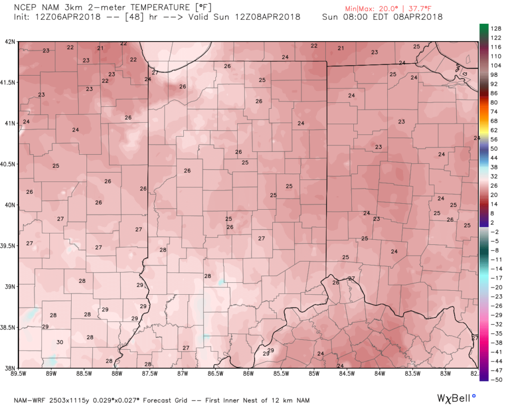
Lows Sunday morning will be downright bitter by April standards.
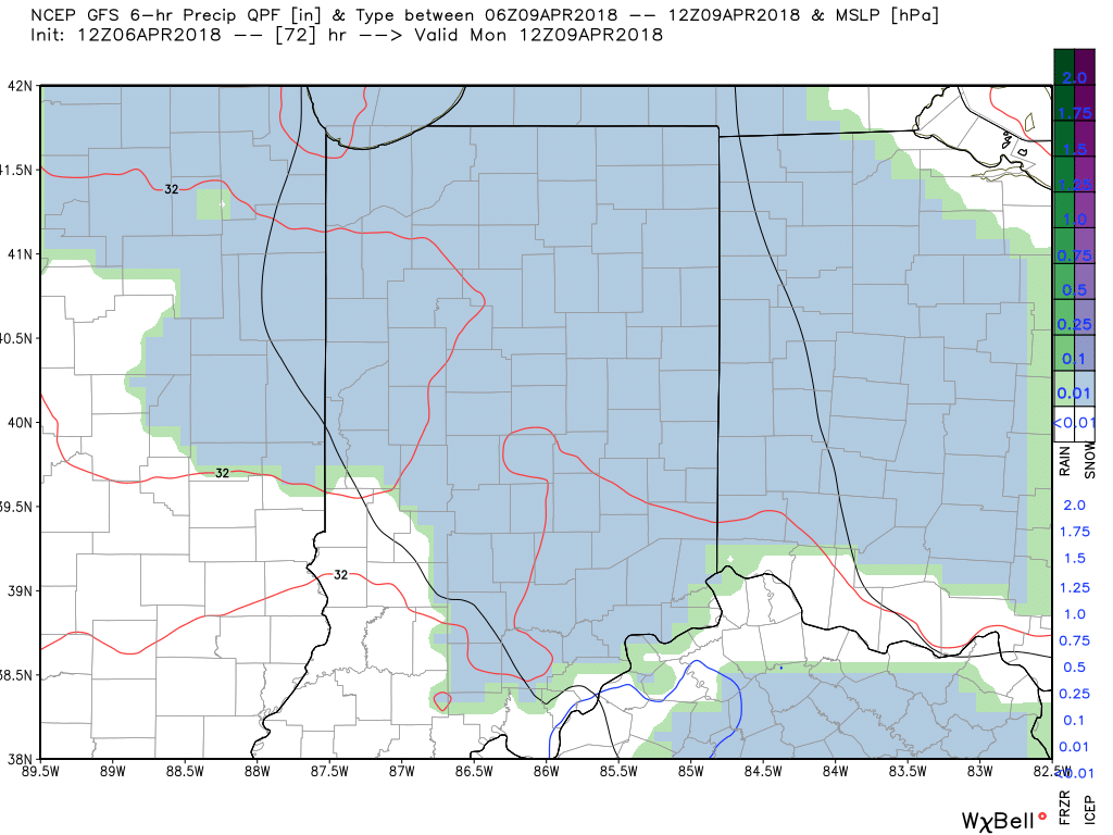
And if the unseasonably cold air isn’t enough, a disturbance will “attack” the cold Sunday night leading to a mix of rain and snow that should transition to mostly snow Sunday night. While this won’t be a big deal, just the fact that we’re talking about snow yet again is getting old for most folks. Unfortunately, the pattern looks to remain colder than average through late April, despite a brief break late next week.


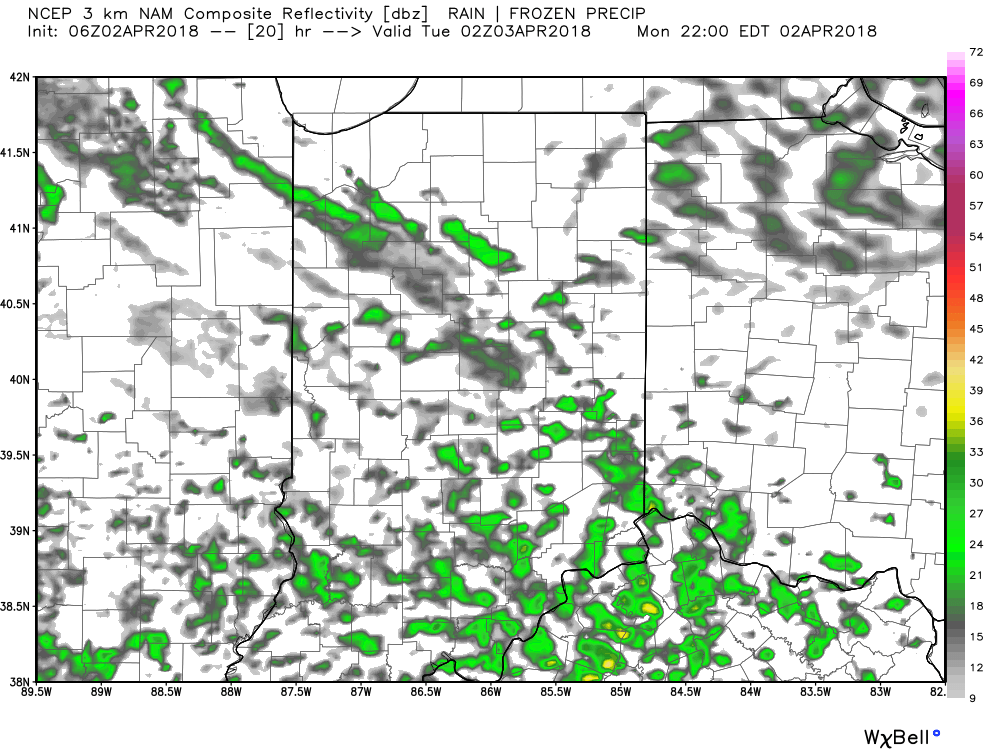
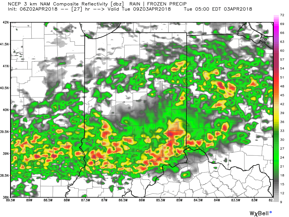
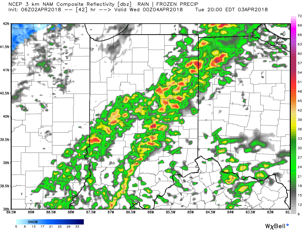
 III. Our next focus is on the prospects of late week/ weekend snow. Models will continue to struggle with the finite details over the next few days. I’m not so sure the suppressed look displayed currently is the correct one. Let’s remember, this time last week models were taking our Easter storm well to our south. We’ll keep a close eye on things over the next few days.
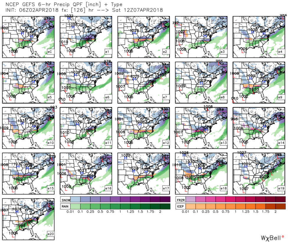 IV. Regardless of whether we get additional snow down or not, a first-class late season arctic blast will drill south this weekend. This will be cold enough to keep temperatures in the 30s for highs Friday and Saturday. Brutal stuff for early-April when average highs are around 60…