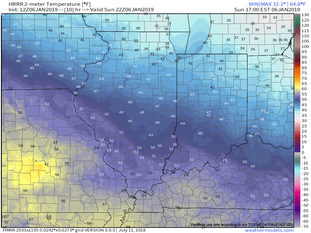
I. Today won’t feature nearly as much sunshine as we enjoyed Saturday, but considering it’s early-January, we can’t complain about mid-upper 40s and dry conditions. Morning fog in spots will burn off to increasing mid and high level cloudiness today ahead of our approaching Monday storm system.
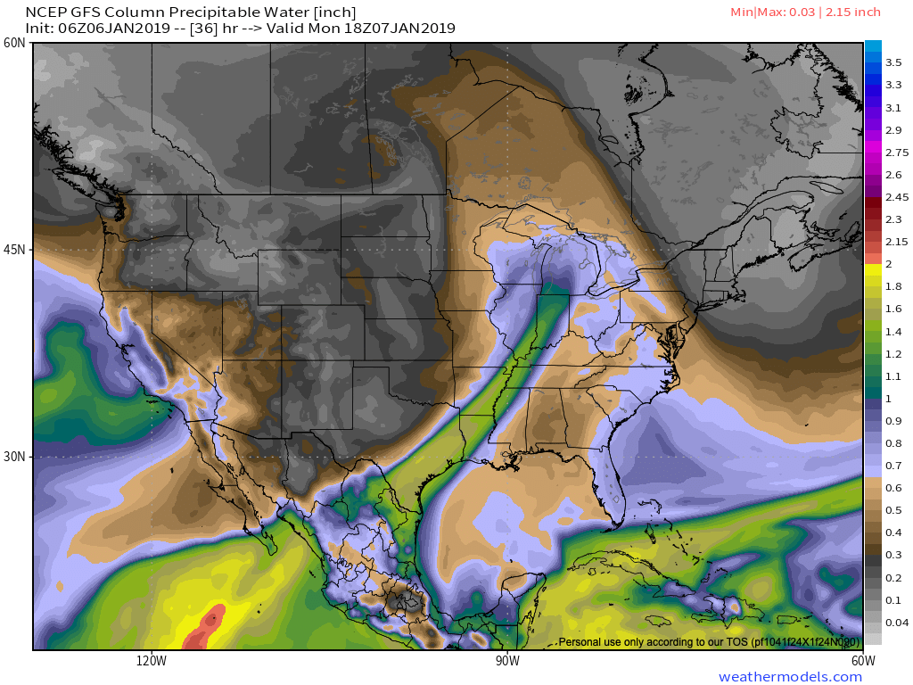
II. A cold front will push rain back into the state as we open the work week. Rain will reach greatest coverage around the lunchtime hour into the early afternoon. Overall, central Indiana rain gauges can expect to accumulate somewhere between 0.10″ and 0.25″ Monday.
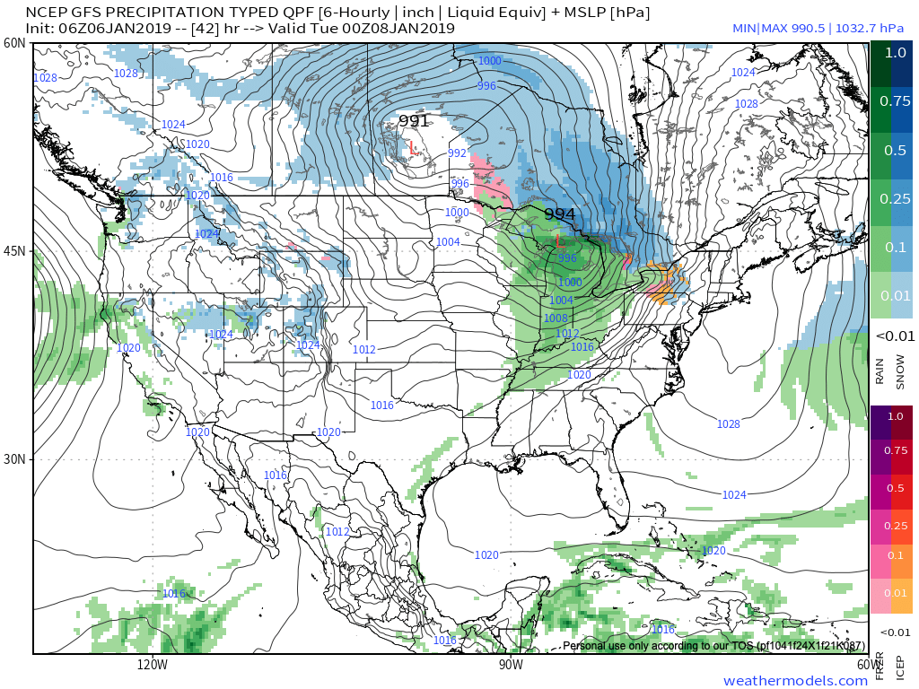 Note this storm system won’t have a Gulf of Mexico (GOM) connection. Thus, the reason behind the lighter rainfall numbers compared to recent events.
 III. Colder air will pour in behind the storm system. Highs will struggle to reach the freezing mark Wednesday and Thursday. Dry times return.
 IV. A weak system may deliver rain or snow next weekend, but modeling differs on how they handle this energy. We’ll keep an eye on things and update accordingly.

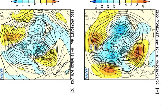
 This is a rather dramatic reversal from what this particular model was saying only last week- when it was bringing winter back with authority by Week 2 on. One could easily argue that even out to the Weeks 3-4 time frame that this certainly isn’t an ideal look for “stick and hold” cold to eventually push into the East.
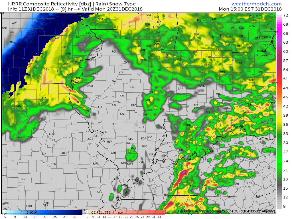
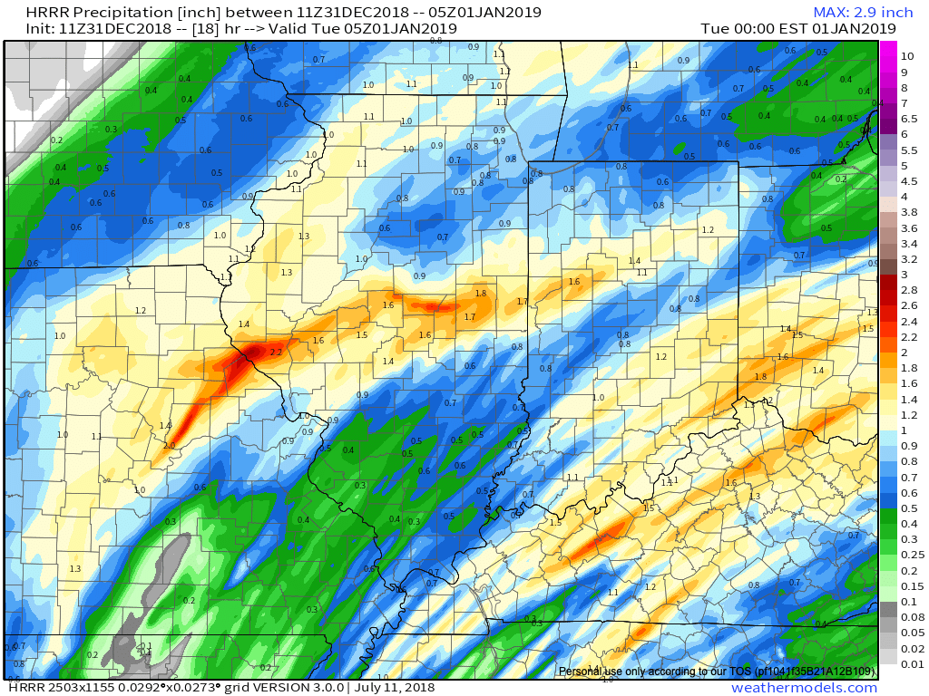 We’re also still monitoring the potential of strong to severe thunderstorms across southern portions of the state. The Storm Prediction Center now includes far southern Indiana in a Slight Risk for severe weather today. The primary concerns remain strong, damaging winds with a line of thunderstorms that may develop between 2p and 4p. If your travels take you south towards Louisville today remain weather-aware.
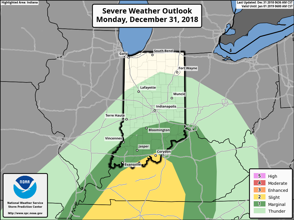
 Temperatures will run 25° to 30° colder New Year’s Day and a couple of scattered snow showers may fly- especially across the favored snowbelt areas to our north.
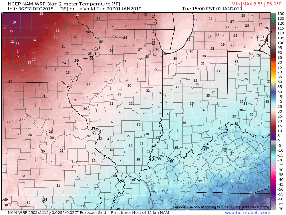 Have a happy and safe New Year’s Eve, friends!