VIDEO: Chilly, But Quiet Open To November…
Updated 11.01.21 @ 8a
You must be logged in to view this content. Click Here to become a member of IndyWX.com for full access. Already a member of IndyWx.com All-Access? Log-in here.
Updated 11.01.21 @ 8a
You must be logged in to view this content. Click Here to become a member of IndyWX.com for full access. Already a member of IndyWx.com All-Access? Log-in here.
Updated 10.30.21 @ 7a
You must be logged in to view this content. Click Here to become a member of IndyWX.com for full access. Already a member of IndyWx.com All-Access? Log-in here.
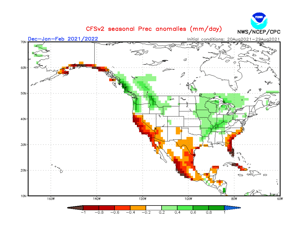
Updated 09.19.21 @ 10:20a
As the first strong autumn cold front takes aim on the region, it’s time to start thinking more about what lies ahead in the December-February time frame. This morning’s video dives in with some initial thoughts around just that. Is the CFSv2 seasonal precipitation projection an indication of the active winter storm track ahead? We think so…
Updated 08.22.21 @ 6:30a
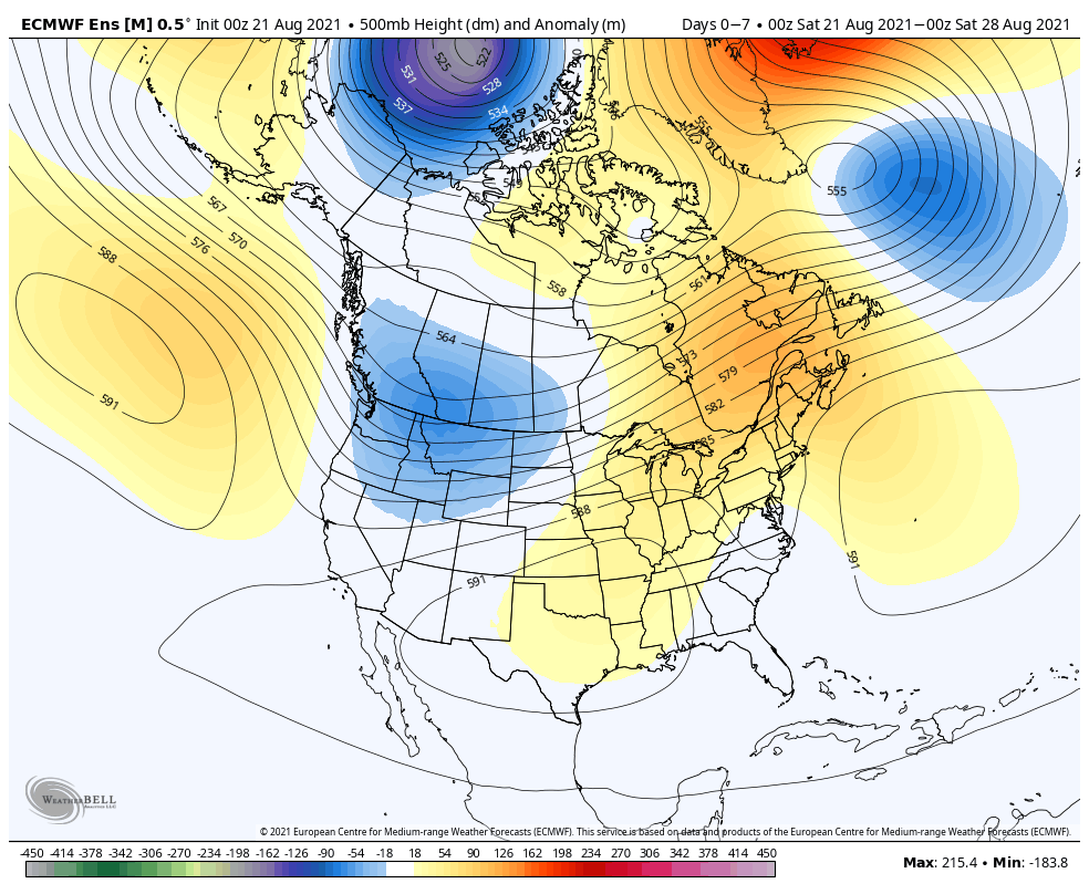

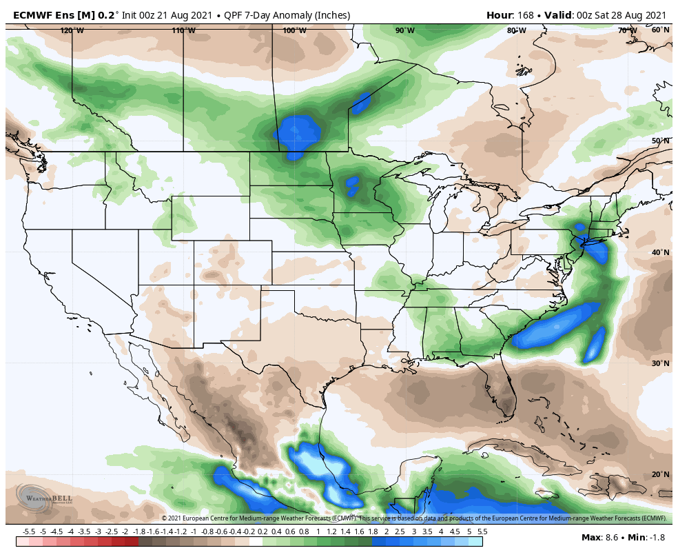
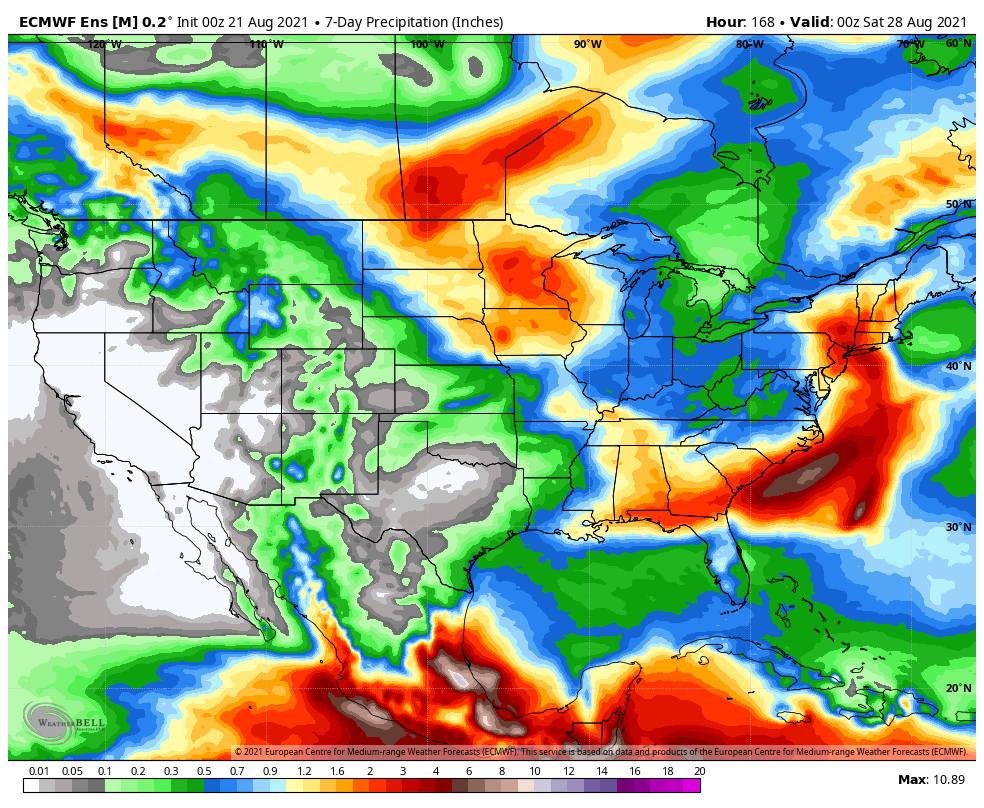
Forecast Period: 08.22.21 through 08.29.21
The overall weather pattern in the week ahead will feature an expanding ridge of high pressure into the Ohio Valley and lower Great Lakes. This will lead to oppressive heat and humidity expanding northeast (multiple days of highs into the lower 90s with high humidity values will make it feel closer to 100° through early and middle parts of the work week). Meanwhile, a persistent trough will continue to take up residence through the early part of the forecast period across the northern Rockies (additional early season snow will fly for the high peaks above 12k feet). The other big story during this forecast period? Henri, of course. Henri will deliver quite a blow to our friends in New England beginning later today, continuing a heavy interior rainfall threat through the early and middle part of the work week.
Back here on the home front, each and every day will feature isolated storm coverage. While “isolated” is the key word, if you find yourself under one of these storms, a quick 1″+ of rain is a good bet with the moisture content we’ll be dealing with. Somewhat better storm coverage is anticipated during the 2nd half of the work week (we’ll label it “widely scattered to scattered.” ;-)).
Updated 04.21.21 @ 7:25a
You must be logged in to view this content. Click Here to become a member of IndyWX.com for full access. Already a member of IndyWx.com All-Access? Log-in here.