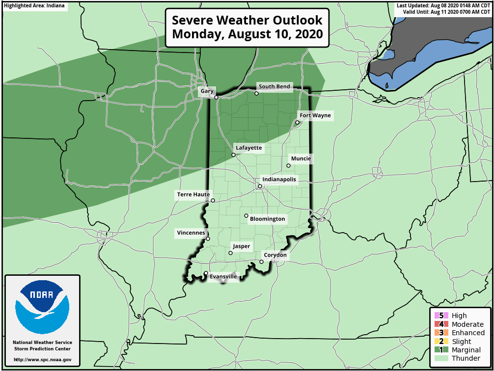
Weekly #AGwx And #Severe Weather Outlook…
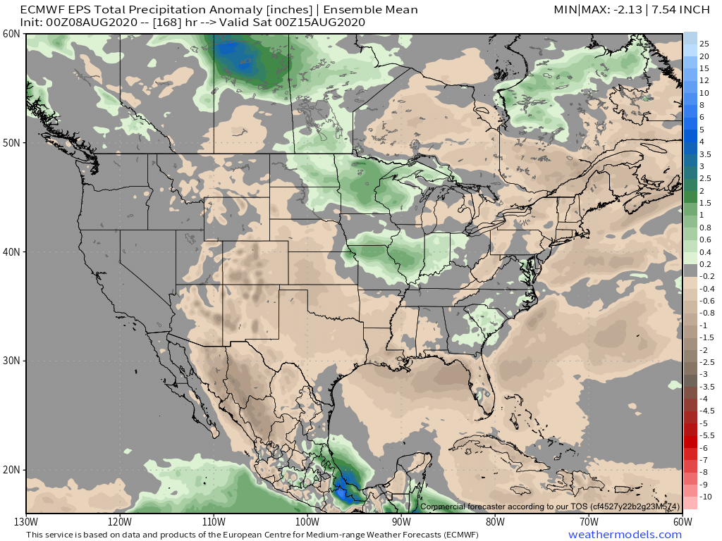
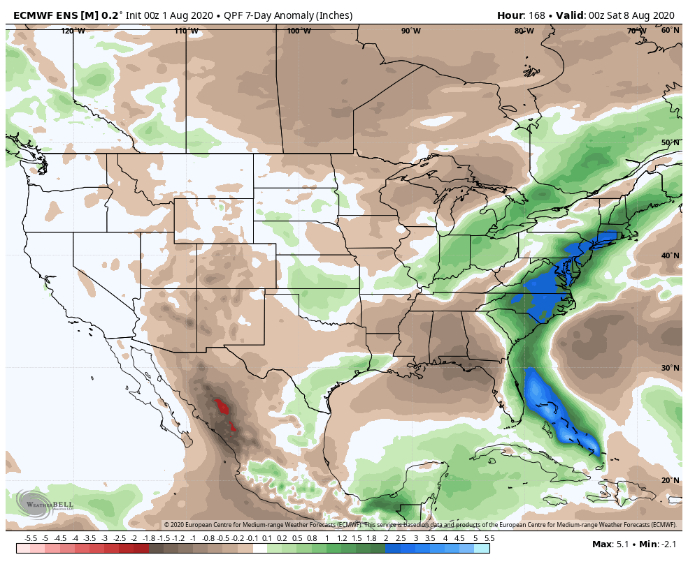
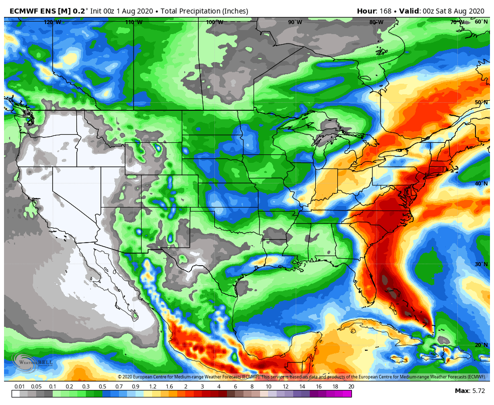
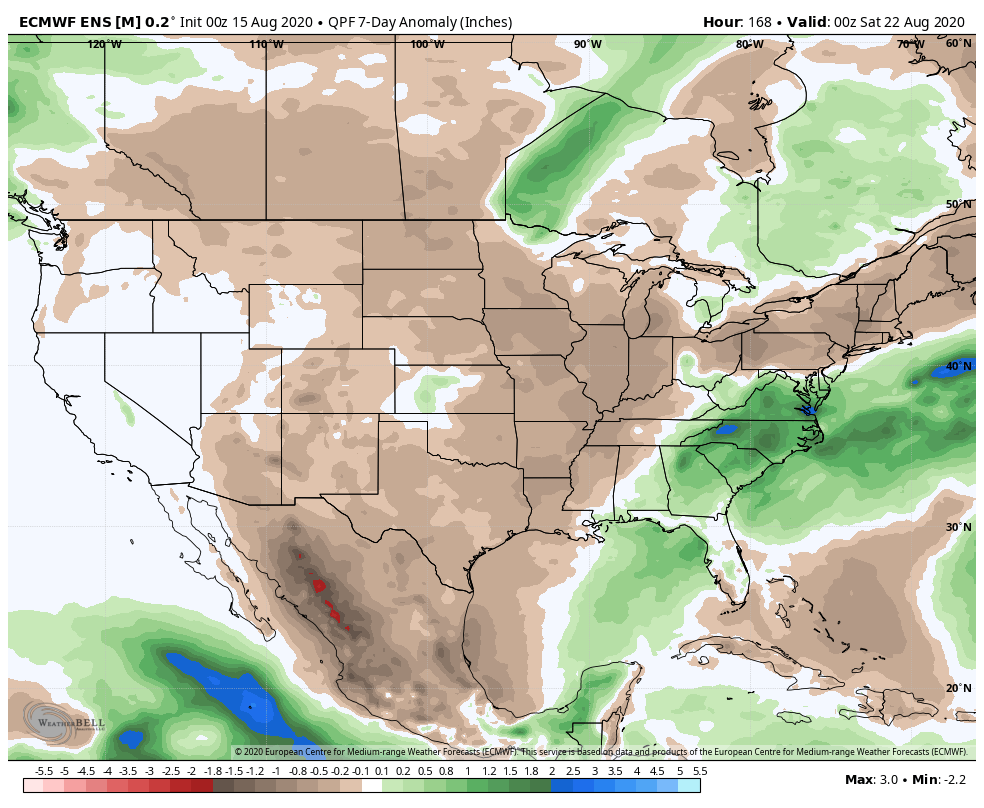
I. Widespread area of below normal rainfall from the Plains into the Ohio Valley.
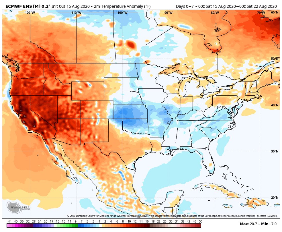
II. Anomalous heat bakes the West.

Forecast Period: 08.15.20 through 08.22.20
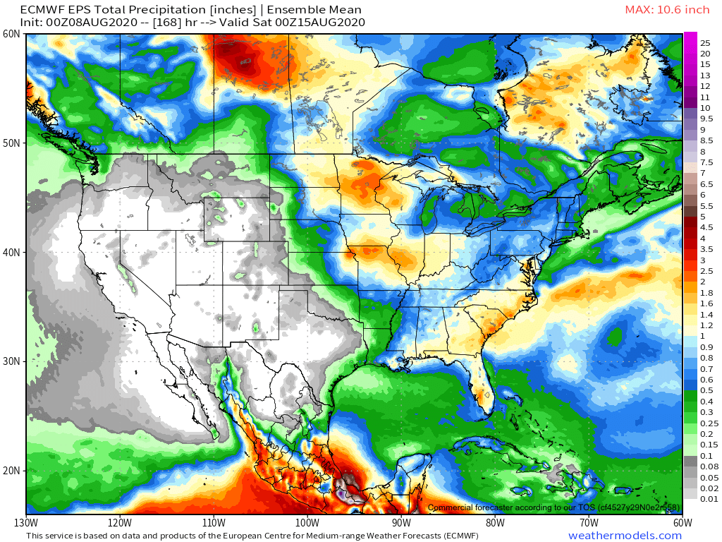
Relatively quiet weather conditions can be expected across our region this week. A cold front will slip through the area Sunday and will offer up the best chance of getting precipitation throughout the upcoming 7-day period. Even this won’t be anything to get excited about, but there will be a broken band of showers and embedded thunder that scoots across the state for the 2nd half of the weekend as the cold front moves southeast. (Additionally, if viewing from northwest or west-central Indiana, you will have the chance of a passing thunderstorm later this evening as the front inches closer). Thereafter, generally dry and seasonable to slightly below normal temperatures can be expected as high pressure dominates. The one potential “interruption” to what will otherwise be a dry forecast has to do with a 2nd frontal boundary that will make a run at the region mid-to-late week. For now, we’re not excited about precipitation chances, but “isolated” shower coverage is possible by Thursday into Friday. Overall, we’re only expecting most central Indiana rain gauges to accumulate between 0.10″ and 0.25″ for the entire period.