Weekly #AGwx And Severe Weather Outlook…
Updated 03.14.21 @ 10:26a
I. Tracking 2 coast-to-coast storms in the week ahead
II. Severe episodes begin to increase


Forecast period: 03.14.21 through 03.21.21
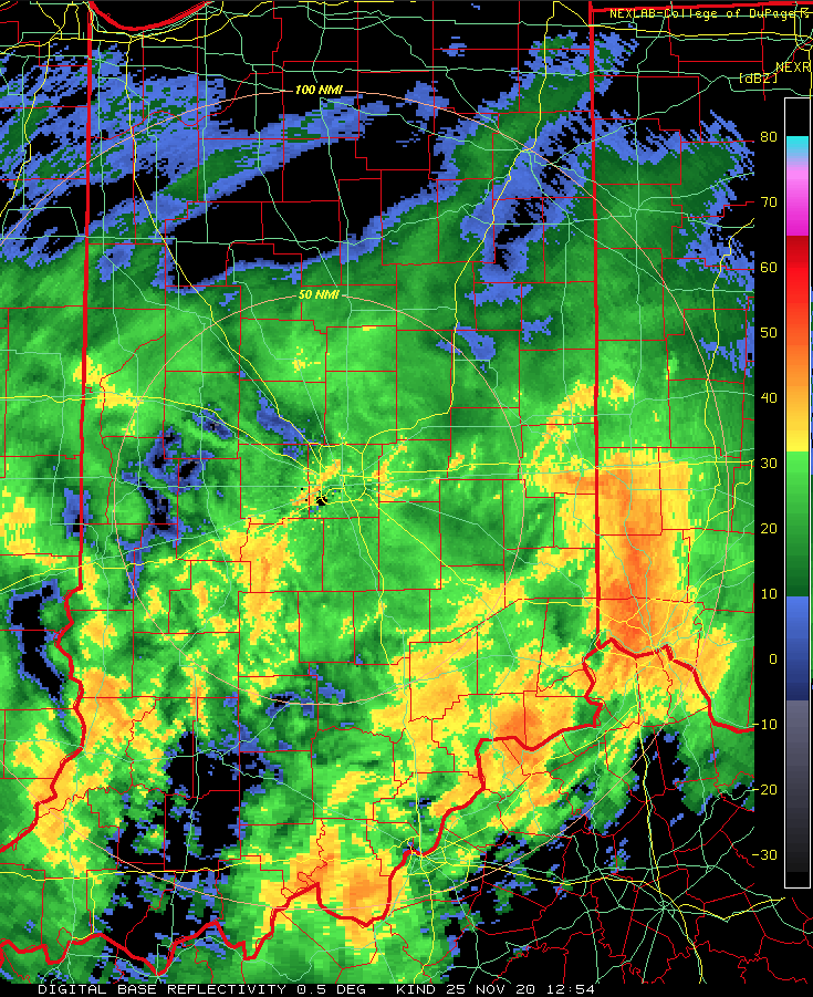
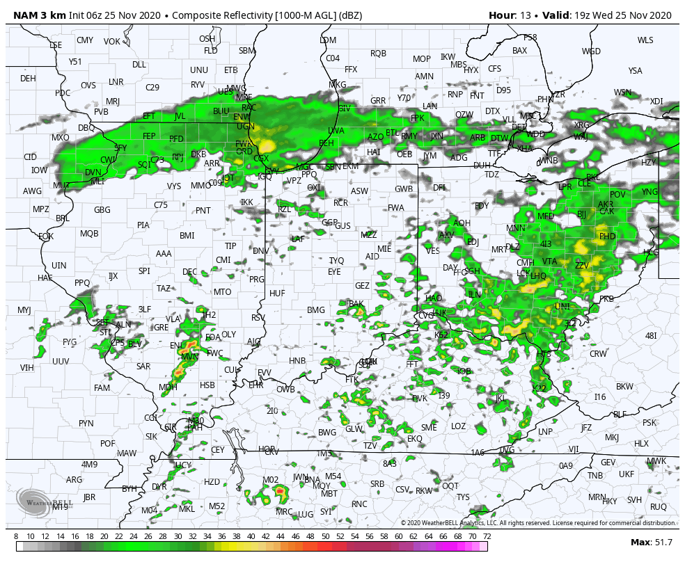
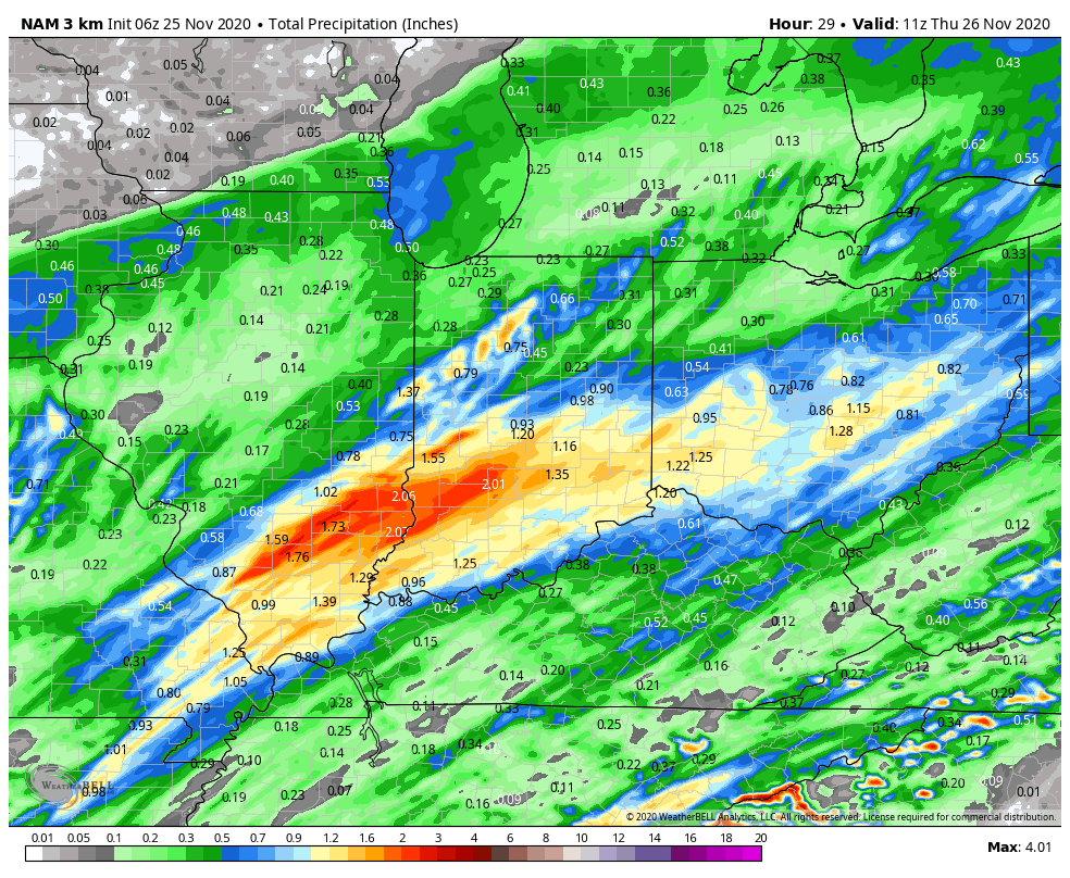
An active week is in store for the region as a series of storm systems impacts the area. The first system will deliver widespread heavier precipitation (after today’s light, nuisance variety rain/ drizzle) late morning Monday into the afternoon hours. With just enough cold air in place, there’s the possibility this precipitation will mix with sleet and freezing rain from Indianapolis and points north briefly at the onset. That said, the wintry precipitation types won’t last long and things will quickly changeover to a plain ole rain by early to mid afternoon. Scattered showers and a possible embedded storm will continue Tuesday as the surface low moves through the Ohio Valley.
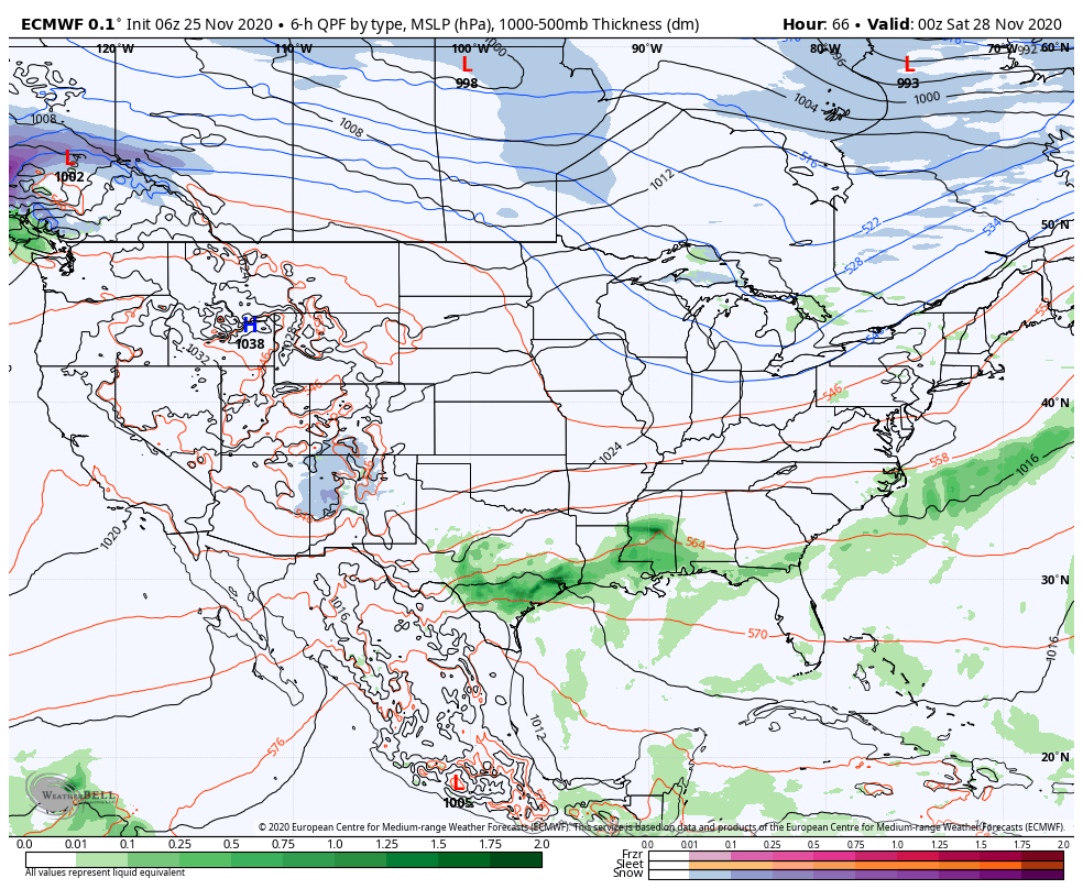
Storm #2 quickly follows for St. Patrick’s Day. While we still have some time to fine tune things, I’d suggest keeping an eye on Wednesday afternoon for the possibility of stronger storm potential as far north as central IN and more of the Ohio Valley as a whole. The ingredients aren’t the best, but there seems to be just enough warmth and instability to at least warrant a close eye for this time period. We’ll do just that and update our products accordingly.
Quieter weather will build into the area by the weekend.