The Storm Prediction Center continues to outline our region for severe potential Wednesday. Early indications suggest we’re eyeing another evening and nighttime storm threat, but there remain questions in regards…
You must be logged in to view this content. Click Here to become a member of IndyWX.com for full access. Already a member of IndyWx.com All-Access? Log-in here.
Beautiful Open To The Work Week…Canadian high pressure will remain in control of our weather as we open up the new work week. Look for plentiful sunshine and seasonably cool temperatures.
Humidity Builds; Severe Chances Wednesday…Tuesday will be a transition day between the cooler, drier feel from the weekend and a briefly warmer and much more humid regime for mid week.
An isolated shower is possible Tuesday, but most communities will remain rain-free. Our focus will remain on Wednesday as a severe weather episode is possible. A strong autumn cold front will slice into a warm, humid, and unstable air mass Wednesday afternoon and strong to severe thunderstorms will erupt. All modes of severe weather will be in play Wednesday and we target the afternoon into the evening for the best chances of severe. Locally heavy rainfall is also a good bet. We’ll have more details on timing and threats as we move forward.
Unseasonably Chilly…A late October-like air mass will invade as we wrap up the work week and head into the weekend. Jackets and sweat shirts will be needed as temperatures fall to levels more than 15 degrees below normal. Dry and crisp air will remain in place through the weekend.
7-Day Precipitation Forecast:
7-Day Rainfall Forecast: 1.5″ – 2″
7-Day Snowfall Forecast: 0.00″
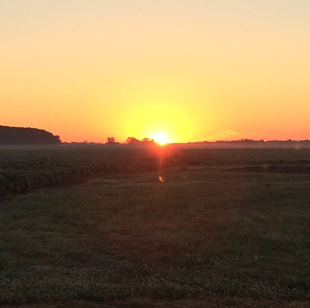
Brian Jessen sent in this beautiful sunrise photo taken in Brownsburg early this morning. Thanks, Brian!
We’re keeping a close eye on severe weather potential Wednesday.
What a beautiful Sunday underway across central Indiana. We made the suggestion earlier today to get outside and watch the opening Sunday of NFL if at all possible (btw, we…
You must be logged in to view this content. Click Here to become a member of IndyWX.com for full access. Already a member of IndyWx.com All-Access? Log-in here.
Beautiful Close To The Weekend…Canadian high pressure will supply plentiful sunshine and pleasantly cool temperatures as we close out the weekend. Even though today is the first Sunday to the NFL season, we’d suggest finding a way to watch your favorite game outside.
Lots of sunshine and mild temperatures continue Monday.
Mid Week Heavy Rain And Storms…A warm front will move north through central Indiana Tuesday and supply an increasingly humid feel to our air mass. As the warm front lifts north, a couple showers or isolated thunderstorms will be possible Tuesday afternoon/ evening. Most communities should remain rain-free, however.
Much better chances of showers and thunderstorms will arrive Wednesday as an area of low pressure and associated strong cold front impact the state. Some of the storms could reach severe levels and locally heavy rainfall is also a good bet. Stay tuned.
Bring Out The Jackets…A big push of unseasonably chilly air will blow into town as we wrap up the work week and head into next weekend. Well below normal temperatures will combine with sunny skies to create a classic fall weekend. May not be a bad idea to plan on a pot of chili at some point next weekend… Just sayin’!
7-Day Precipitation Forecast:
7-Day Rainfall Forecast: 1.5″ – 2″
7-Day Snowfall Forecast: 0.00″
A little rain didn’t dampen the spirit of those in the Zionsville Fall Festival parade Saturday. Thanks to John Salewicz for the photo!
Craving some truly chilly autumn air? Hang in there for late week. Well below normal temperatures (more like October levels) will blow into town later this week.
Dry Time…Sun-filled days can be expected after morning fog burns off across outlying areas both today and Thursday. Temperatures will be a touch above normal.
Friday Night Storms Ahead Of Big Cool Down…A cold front will pass the state early Saturday. Ahead of this front, a line of strong to severe storms will be possible Friday night. We’ll fine tune timing as we progress through the next day or two. A blast of much cooler, drier air will then pour into the state over the weekend. It’ll feel very much like fall around these parts…
Next Rain Maker…We’ll enjoy another dry and seasonably cool couple days before our next potentially significant rain maker gears up for the middle of next week. Both the GFS and European forecast models are hinting this could be a significant rain maker, but caution this is still early and fine tuning will be required.
7-Day Precipitation Forecast:
7-Day Rainfall Forecast: 0.50″ – 1.00″
7-Day Snowfall Forecast: 0.00″
Farmer Paul of Full Circle Farm sent in this beautiful fog bank shot this morning. Full Circle Farm is located across southern Boone County in Whitestown. We encourage you to check out their web site if you haven’t already. Thanks, Paul!