Winter Storm Arrives Tonight…
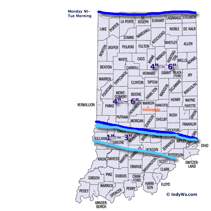
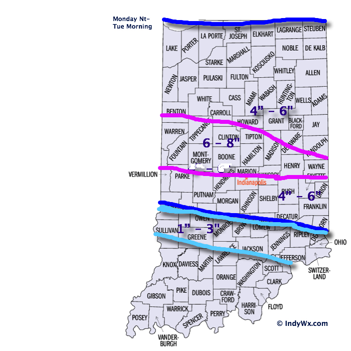
First, here’s a look at our updated snowfall forecast….we’ve tried “honing in” on where we think banding may set up and create heaviest totals. As stated last night, snowfall rates will approach 1-2″ per hour at a time during the overnight and create a real challenge for snow removal issues.
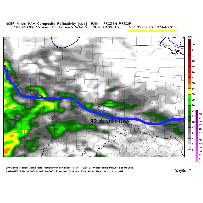
Timing: Snow will begin to invade the region between 6-7 tonight. Heaviest snowfall will occur during the overnight- from 11p-3a.
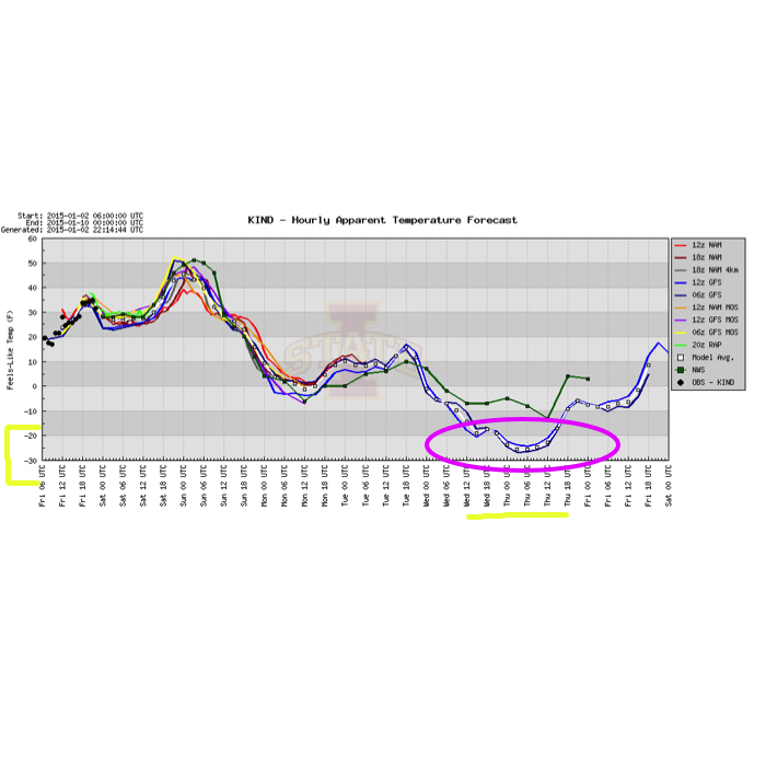
Wind: Wind will increase during the day Tuesday and gust in excess of 25 MPH. This will create considerable blowing and drifting of snow and lead to additional snow removal challenges.
Temperatures: Highs Tuesday will occur during the morning (lower to middle 20s) before crashing into the single digits by evening and plummeting to below zero Wednesday morning. Wind chill values will approach 30 degrees below zero Wednesday.