Weekly AG And Severe Weather Update…
Forecast period: 08.12.19 through 08.19.19
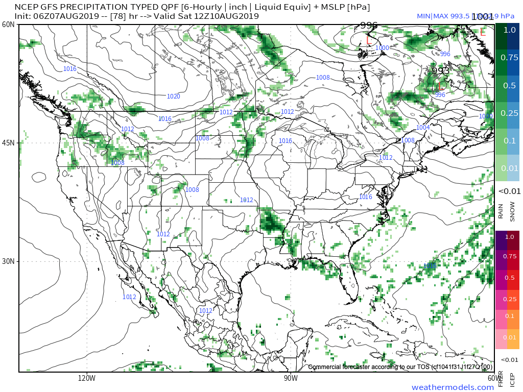
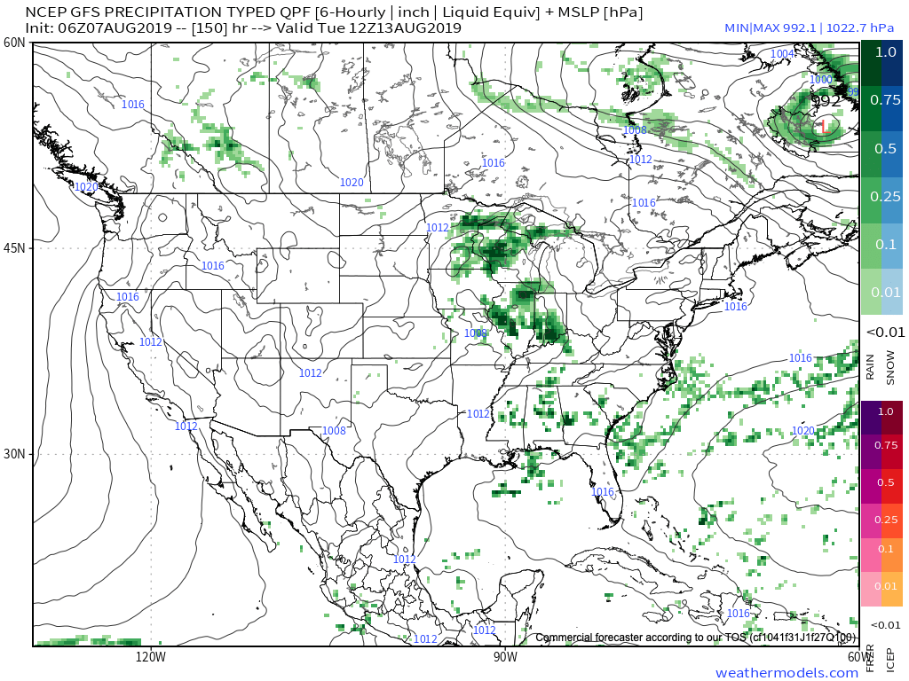
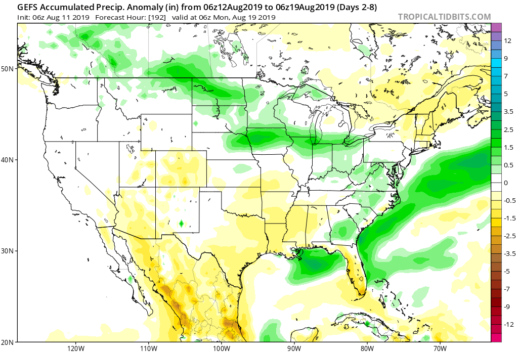
7-Day Precipitation: Rainfall is expected to run near average through the forecast period.
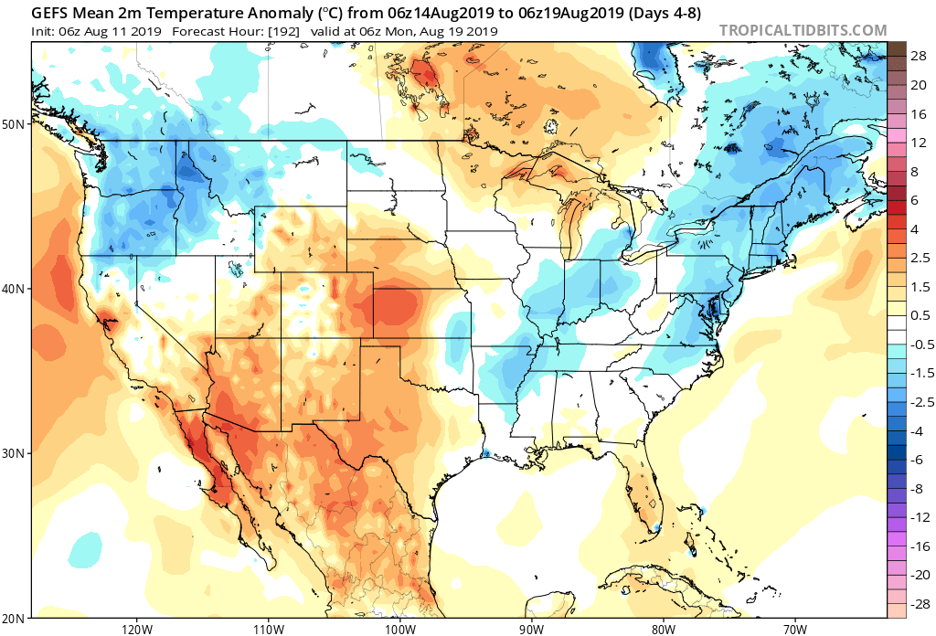
7-Day Temperatures: Temperatures are expected to run near seasonal levels through the period.
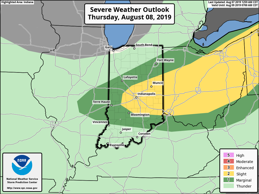
Severe Outlook: Severe weather is expected across central Indiana as we open the work week. All modes of severe weather are possible including large hail, damaging winds, and a couple of tornadoes.

Summary: The forecast period will open up on an active note as a rather potent surface wave scoots across the southern Great Lakes region. A complex of thunderstorms is expected to organize across IA and IL Monday afternoon before pushing east southeast Monday evening. Accordingly, chances of strong to severe thunderstorms along with locally heavy rain will be on the increase Monday evening into very early Tuesday across central Indiana, including Indianapolis. Several favorable ingredients are coming together to produce the threat of severe weather, including large hail, damaging wind, and potentially a couple of tornadoes. On average, between 0.50″ and 1″ of rain is expected with this system, however, if thunderstorms “train” over the same communities tomorrow night, amounts will be much higher in localized areas.
Thereafter, weather conditions will quiet down as we move into the middle and latter portions of the work week. While heat and humidity will build to our southwest, immediate central Indiana shouldn’t have to deal with much in the way of excessive heat/ humidity through the forecast period with seasonal temperatures expected around our part of the state much of the week.