Heat Builds Late Week, But Doesn’t Last…

The pattern remains in a transient state.  An upper ridge will build over the region late week into the weekend.  With this will come the hottest air of the season (multiple days of lower to middle 90s starting Friday, continuing into early next week).  The hottest days appear slated for Friday and Saturday.  Heat indices will approach 105 degrees.

However, just as fast as the ridge builds over the area, we see the “want” to position itself over the Rocky Mountain region.

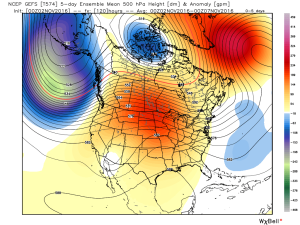
Hot dome will provide a couple days of highs in the middle 90s Friday-Saturday. Image courtesy of Tropicaltidbits

3


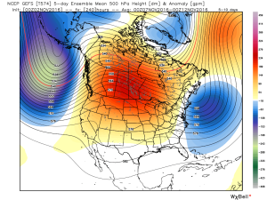
Note the difference of the ridge position by Day 10. Courtesy of Tropicaltidbits

4While some oppressive heat and humidity will impact our local area to wrap up the work week and head into the weekend, this is a pattern where it’s incredibly difficult to deal with any sort of one particular weather pattern for any time of substance.  Looking forward to August, we don’t see this changing.  Remember that word we leaned on to begin summer? “Transient” remains the best way to describe the pattern moving forward, as well.

Additionally, this is a pattern that should result in a return of wet and active times as we put a wrap on July and welcome August.  It’s impossible to nail down the precise details of any one particular neighborhood’s rainfall numbers from this distance, but understand the pattern is one that should yield more locally hefty rains in the weeks ahead.

WetTo close, we’ll leave you with a look at the latest PNA pattern.  This has been the primary driver of our weather this summer, and it also argues any sort of dry, hot weather doesn’t last.  Note the positive PNA returning to close July.  This also lines up well with our idea of unsettled times returning…

Screen Shot 2016-07-18 at 5.58.35 PM

PositivePNA

Stormy Start; Heat Builds Late Week…

Screen Shot 2016-07-18 at 10.07.34 AMHighlights:

  • Storms to start the work week
  • Heat and humidity build
  • Heat doesn’t last

Renewed Storm Chances Later Today…Alarm clocks weren’t needed today as a big complex of storms and heavy rain rumbled through the state during the pre-dawn hours.  Many neighborhoods received a quick 2.5″+ during the overnight and predawn hours.  As we write this, renewed thunderstorms are firing to our west and will impact portions of the state later this afternoon.  Additional hefty rains are a good bet for some.

We’ll dry things out as we rumble through the mid week stretch and while isolated storms are possible to close the week, most folks should remain dry as a big ole’ upper ridge builds over the mid west.  The big story will be intensifying hot, humid weather- centered on Friday-Saturday.  Heat indices will approach 100-105 degrees during this time frame, as well.  The good news is that forecast data points to the associated hot dome backing west and setting up shop over the Rockies to close the month and open August.  Accordingly, the hottest anomalies will shift west, as well.  We’ll be left with a NW flow aloft providing a cooler and unsettled stretch to close the month of July and open August.

Wet
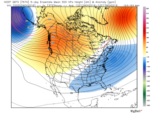
The pattern to close July and open August should look rather familiar to what we’ve seen the majority of summer. NW flow aloft with frequent rain/ storm chances. Courtesy: TropicalTidbits

Upcoming 7-Day Precipitation Forecast:

  • Snowfall: 0.00″
  • Rainfall: 0.50″-1.00″

Wrapping Up The Weekend On A Nice Note…

Screen Shot 2016-07-10 at 10.02.58 AMHighlights:

  • Dry weather continues
  • Wet, active pattern returns mid week

Beautiful Sunday…High pressure will remain in control of our weather as we wrap up the weekend.  As a result, we can expect lots of sunshine and comfortable temperatures, including low humidity levels.  All-in-all, we really can’t ask for better weather this time of year.

Monday will remain dry, but the deeper we progress into the week, rain and storm chances will go up. While we include the mention of rain and storms in the forecast each day from Tuesday on, please know that it won’t rain the entire time and there will be many dry hours each day.  That said, it does appear as if we’re entering another active stretch, and fine tuning will be required to pinpoint specifics around timing and track of storm complexes in the days ahead.

Upcoming 7-Day Precipitation Forecast:

  • Snowfall: 0.00″
  • Rainfall: 0.75″-1.50″