Updated 11.02.24 @ 6:30a This morning is starting off colder than normal (average low is 39° on 11/2) for a change as we wake up to freezing conditions across most…
You must be logged in to view this content. Click Here to become a member of IndyWX.com for full access. Already a member of IndyWx.com All-Access? Log-in here.
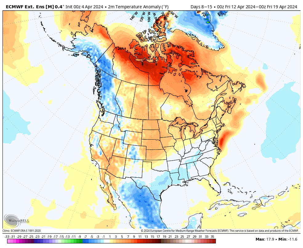
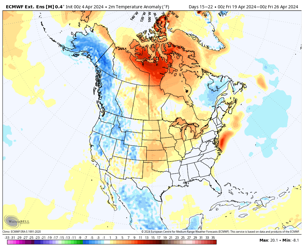
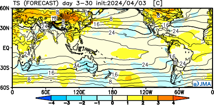
The overall chilly and unsettled pattern of late should show rather marked improvement not only over the short-term, but longer range, as well.
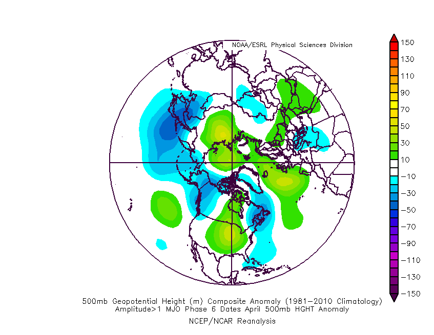
The teleconnection suite (AO, NAO, PNA, and EPO) over the next couple weeks is aligned in a manner that should promote less of an anomalous 500mb look, locally (deep eastern trough we’ve been dealing with).
If we’re able to sneak into MJO Phase 6, then a warmer “lean” would be required by mid and late April. As always, we’ll keep an eye on those trends as the majority of data keeps the MJO in the neutral phase.
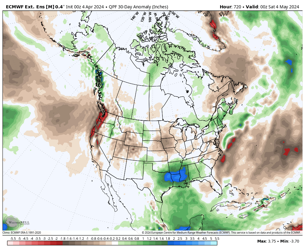
The thought here is that a milder and drier overall regime will take hold over the course of the next few weeks, certainly compared to late. That said, given the pattern drivers noted above, I also want to reiterate that we shouldn’t see rain or temperatures that differ significantly from average (rather only slightly above in the temperature department and slightly below in the precipitation department over the upcoming 4 week period). Further west, the better chance of more in the way of significantly above normal temperatures (primarily in the Plains).
The latest European and JMA Weeklies agree on this overall idea.
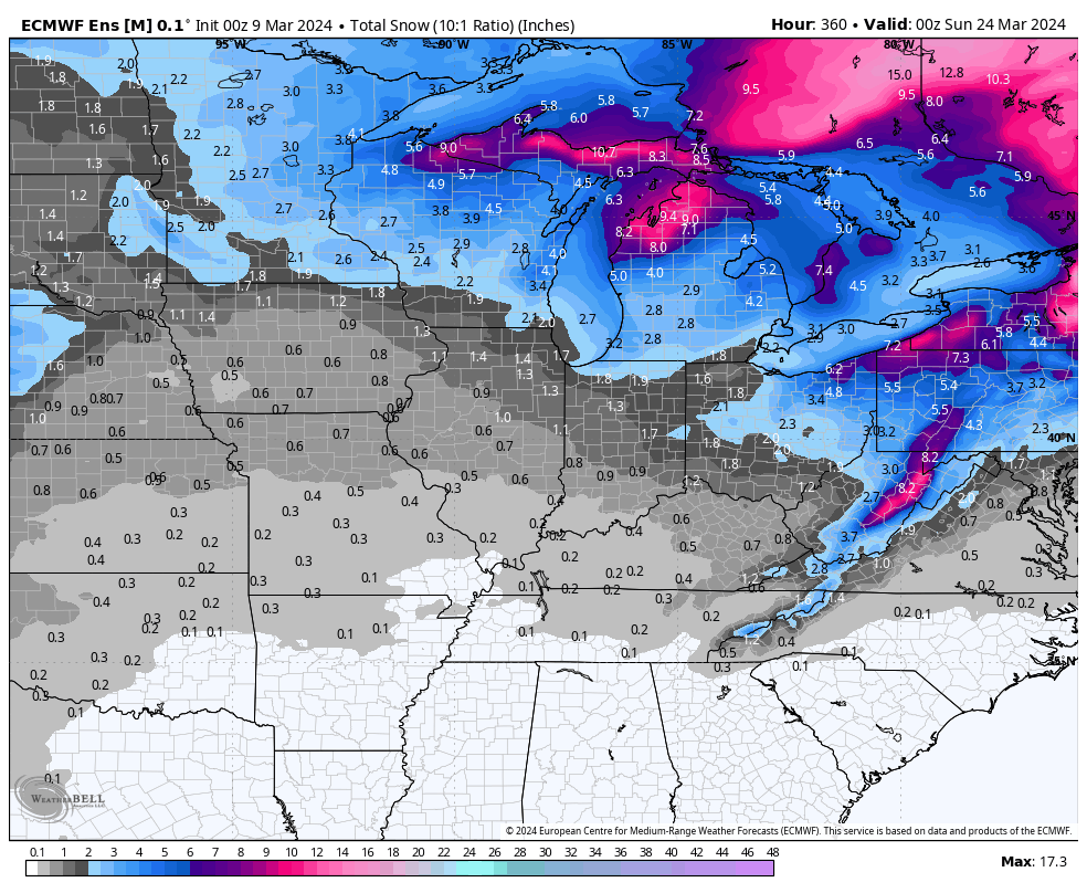
Updated 03.23.24 @ 10:51a A quiet weekend will turn more active as we open the new work week. We’re tracking this system and another storm late in the week. Both…
You must be logged in to view this content. Click Here to become a member of IndyWX.com for full access. Already a member of IndyWx.com All-Access? Log-in here.
Updated 03.11.24 @ 7:51a It’s more of the same this week as unseasonably warm temperatures dominate the headlines. We’ll turn unsettled by late week and this will signal a pattern…
You must be logged in to view this content. Click Here to become a member of IndyWX.com for full access. Already a member of IndyWx.com All-Access? Log-in here.
It’s been a very warm March. So far, Indianapolis is running nearly 13° above the average month-to-date.
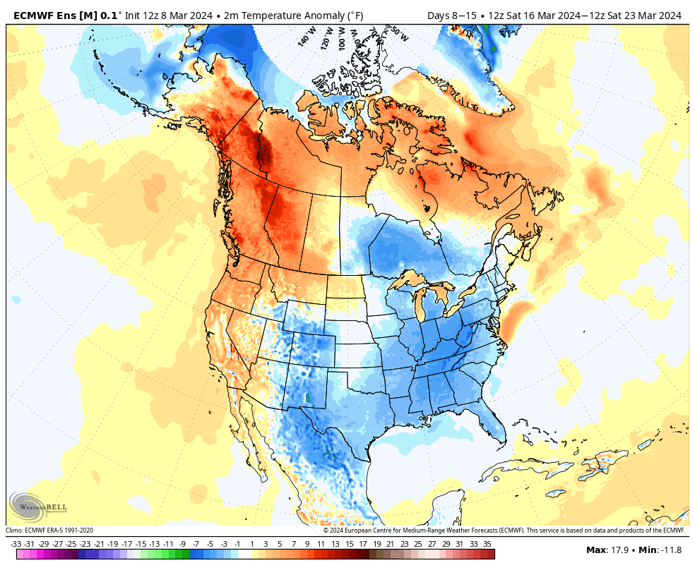
In the short-term (Week 1), the pattern will remain on the milder side of normal.
That all begins to change as we move into Week 2.
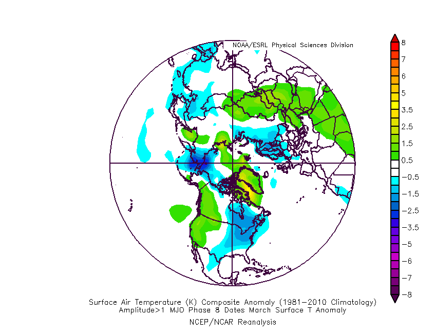
This is largely driven by the MJO sprinting through the traditionally warm phases for this time of year into the colder Phase 8 late month.
The temperature composite analog for MJO Phase 8 in March during an El Nino season:
Strikingly similar to what we see above on the Week 2 charts, huh?
The teleconnection suite aligns towards a cold look by Week 2.
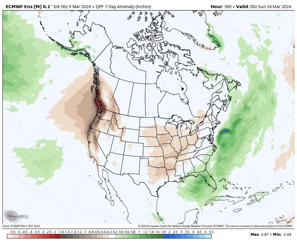
A potentially more significant storm system looms late next week or over St. Patrick’s Day weekend to usher in the pattern change. Otherwise, with a colder pattern than normal settling in Week 2, this will also likely lead to a drier airmass and subsequent opportunity to dry out after a wetter than normal open to March (also of note is that we’re running a little more than 1″ above normal, year-to-date).
No way to be specific with details from this distance, but given the look to the overall pattern, I’d be surprised if we end the month without an opportunity of a little wet snow with the colder transition.