Extended Dry Period…
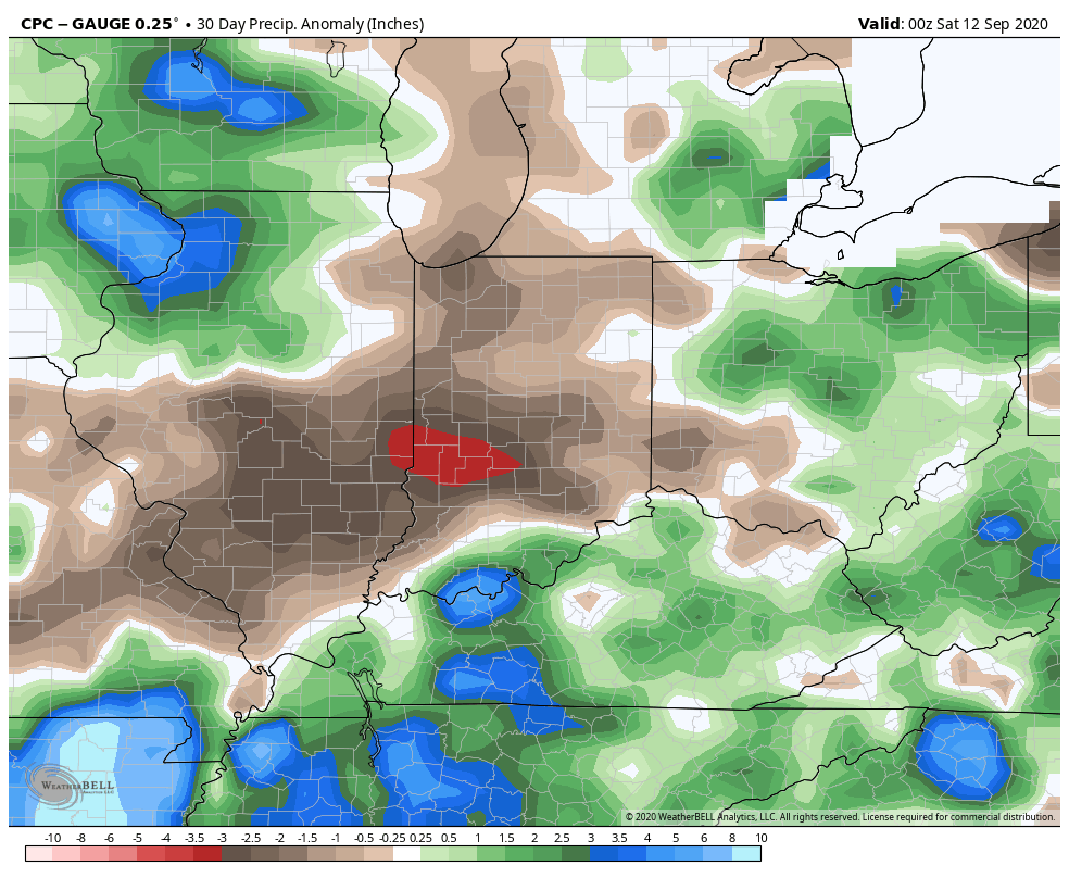
IND is now running more than 1.2″ below normal for the month and this is coming off a dry finish to August.
Note the localized, but significant, area of bone dry conditions extending east from eastern IL across central Indiana (while surrounding areas have cashed in on significant rains over the past 30 days):

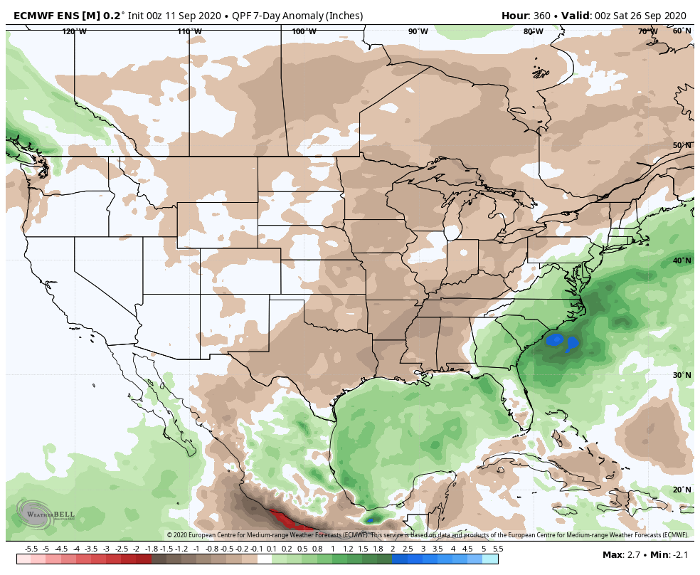
The upcoming 7-days won’t offer up much relief from the dry conditions as high pressure dominates. Even the mid-to-late week cold front should pass through the region mostly dry.
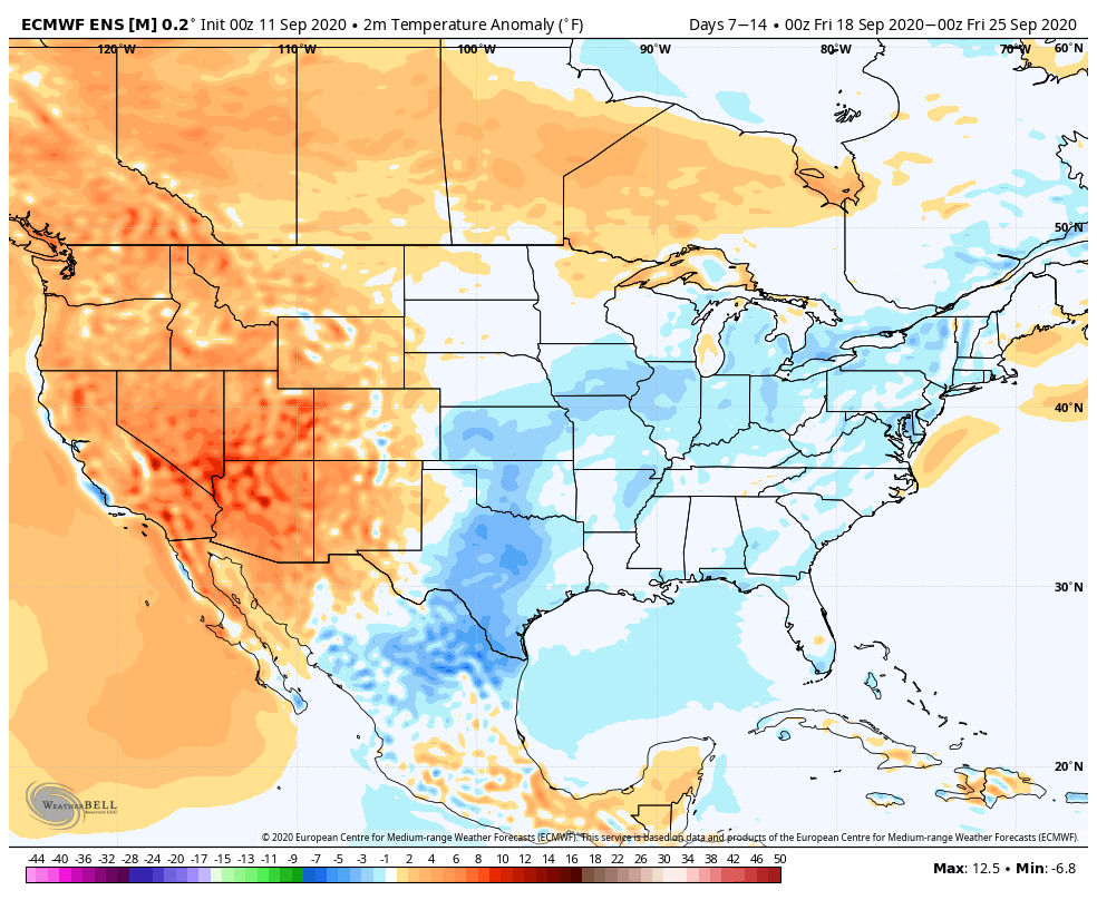
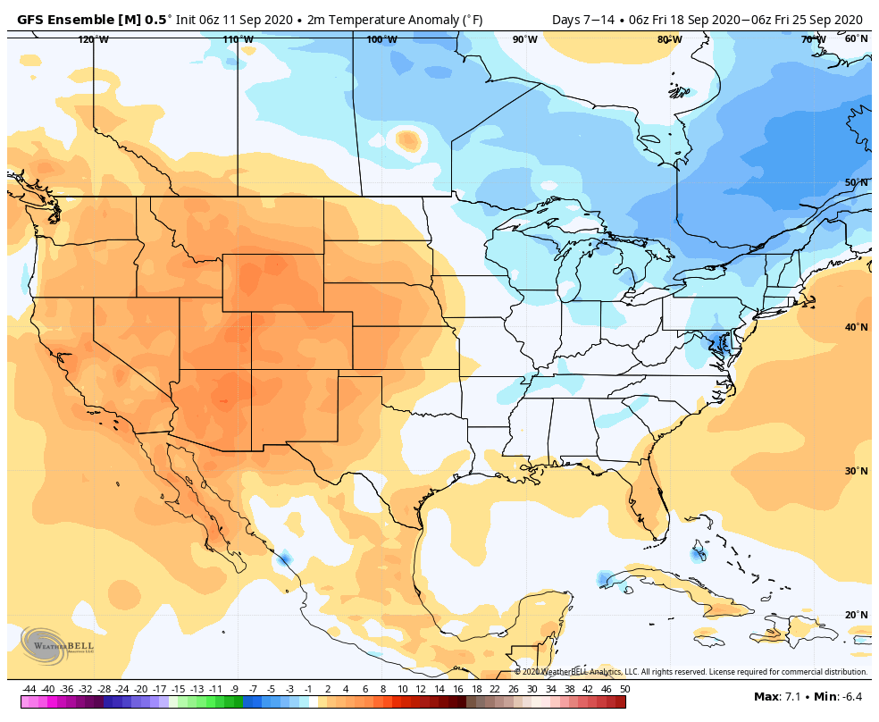
Most guidance only drops between a trace and 0.10″ of rain on central Indiana over the next (10) days as the dry pattern rolls along. The GFS and European ensemble products highlight the dry regime well:


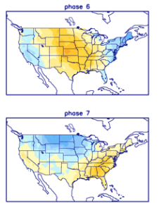
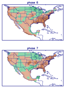
Ironically, the overall pattern should shift in dramatic fashion as autumn matures and heads into winter. We still expect an about face late autumn as the wet anomalies paint themselves across our region as the southeast turns dry, thanks to the La Nina pattern…