Muggy Air (And Storm Chances) Returns…
 Highlights:
- One more pleasant day
- Humidity increases
- Storm chances return
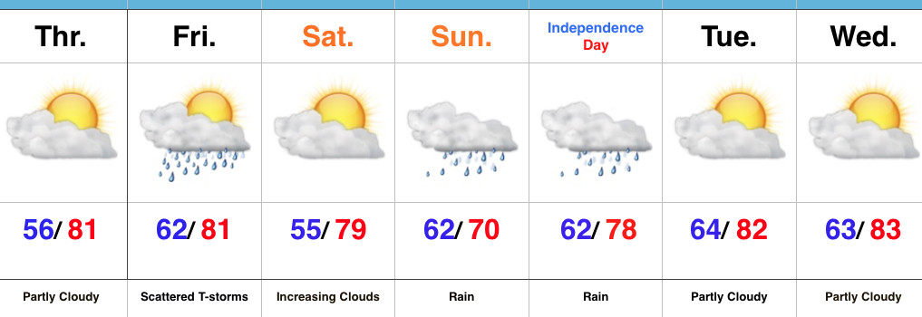
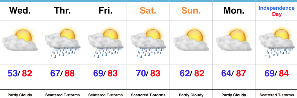
Unsettled Weather Looms…We’ve got one more pleasant day to enjoy, but take advantage of it as changes for a more tropical-feel loom. With that increasingly warm and moist air, we’ll also see an increase in showers and thunderstorms as we wrap up the week. While it won’t rain the entire time, a couple rounds of strong-to-severe thunderstorms are possible during the Thursday afternoon-Friday period.
We think we return to drier conditions late weekend into Monday, but this drier theme likely won’t hold through the holiday period. Scattered showers and thunderstorms return by Independence Day.
Upcoming 7-Day Precipitation Forecast:
- Snowfall: 0.00″
- Rainfall: 1.00″ -1.50″ (locally heavier totals)
 Mid and high level clouds will spread over the region today, but we’ll stay dry. We’ll notice a lowering and thickening cloud deck by evening and this is a hint at things to come Sunday.
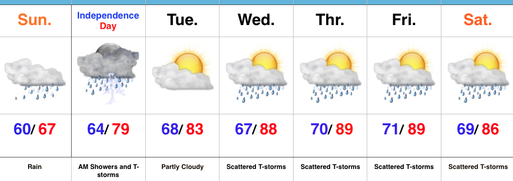
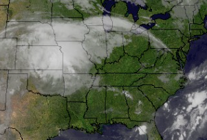 Rain will overspread the region Sunday morning, increasing in coverage and intensity as we progress into Sunday evening.
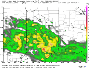 Rain will turn locally heavy at times and we expect a widespread swath of 2″-3″ totals through the heart of the state, with localized heavier amounts. Precipitable water values exceed 2″ across central and southern IN Sunday evening and will likely promote a flash flood threat.
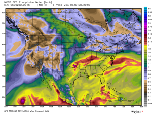 Most of the rain falls Sunday morning-Monday morning before drier air begins to try and work in here as Monday afternoon arrives. As of now, we think Monday evening firework shows should be a go!