Next Week’s Spring Tease Is Just That, A “Tease…”
There’s no doubt we’re looking at a brief pattern change next week that will result in air temperatures that will have many of you craving spring. That said, the key word in that sentence is “brief” and a colder, more wintry pattern looks to return to wrap up February and head into March.
Before we discuss the return of the cold and potentially wintry regime for late month, let’s focus on the milder conditions. Data suggests we may be looking at highs zooming all the way into the lower to middle 60s towards the 20th-23rd time period. The spring tease is likely to come at a cost as the milder southerly breezes likely result in lots of dense fog and areas of drizzle as a deep snowpack remains locked in place. Flooding concerns may also become a concern next week, especially if we inject moderate to heavy rain into the region. 10-day rainfall numbers do have to make us a little nervous as a blend of model data suggests 1″-1.5″ down between now and the 22nd. We’ll continue to monitor things.
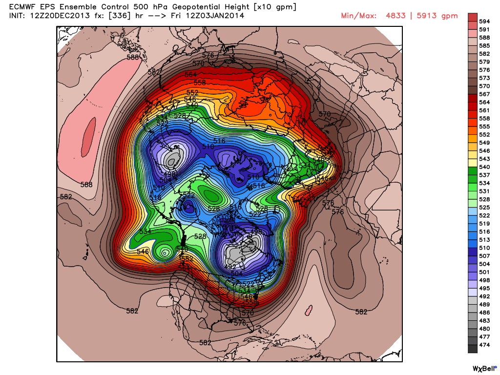
Finally, it should be noted that while a brief “relaxation” of the seemingly unending winter is on the way, the long term pattern continues to suggest a cold and wintry time of things continues overall. Next week appears to be an “island of warmth in a sea of cold” type pattern. Latest ensemble data continues to back this idea up. That’s not saying we’re going to deal with the type of severe cold we’ve seen over the past several weeks, but instead means we’re going to go back below normal as we get set to wrap up February and head into March.
The latest GFS ensembles show the evolution of things well. The “double secret probation” European model also shows something similar.

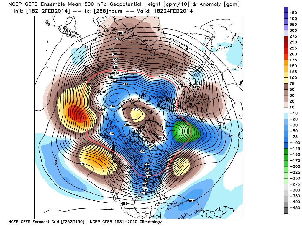
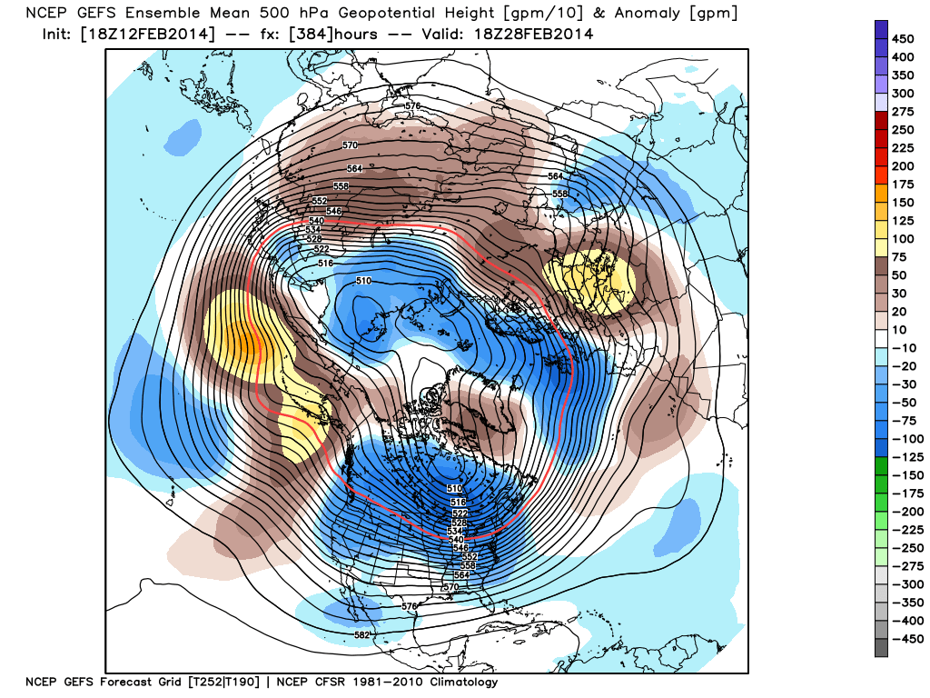
Note the ridge and associated spring “tease” is replaced with a cold and more wintry looking eastern trough rather quickly. Circle the 24th on your calendar for the potential of a widespread storm system. Far too early for details or questions, but the pattern looks to produce some busy times around this point. Before that we have plenty of weather in front of us to deal with… weekend snow opportunities, foggy/ drizzly weather to accompany the initial surge of milder air next week, and a spring tease by late next week!