Category: GFS

Cold Pattern Continues…

Tue.

Wed.

Thr.

Fri.

Sat.

Sun.

Mon.

 Status-weather-clouds-icon

 Status-weather-snow-scattered-day-icon

 Status-weather-snow-scattered-day-icon

 Status-weather-clouds-icon

 Status-weather-snow-scattered-icon

 Status-weather-clouds-icon

 Status-weather-clouds-icon

5/ 32

17/ 36

20/ 39

24/ 52

29/ 39

20/ 38

29/ 53

– – –

Light

Light

– – –

Light

– – –

– – –

Forecast Updated 03.04.14 @ 8:22a

Sunny, But Cold…Another day of bright sunshine will help temperatures rebound to the freezing mark Tuesday afternoon.  While this is still well below normal and closer to the normal low for this date of 29 degrees, it’ll be a full 14 degrees “milder” than Monday’s high.  You know it’s been a cold winter when you’re saying the freezing mark is milder for a high in March.

Weak Weather Maker…A weak clipper system will move towards the region Wednesday evening into Thursday.  While this will be an accumulating snow producer for areas to our west, current thinking still moves this moisture towards our region, but with a dry air mass in place we think precipitation starts to fall apart as it moves in.  All of that said, light snow and scattered snow showers will fall for parts of the region Wednesday night into early Thursday.  We still think most don’t deal with much, if any, accumulation, but a light coating is possible in spots.  We’ll continue to monitor.

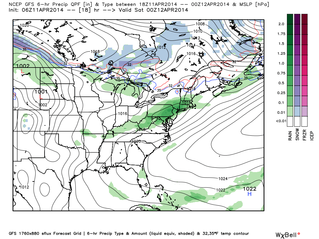
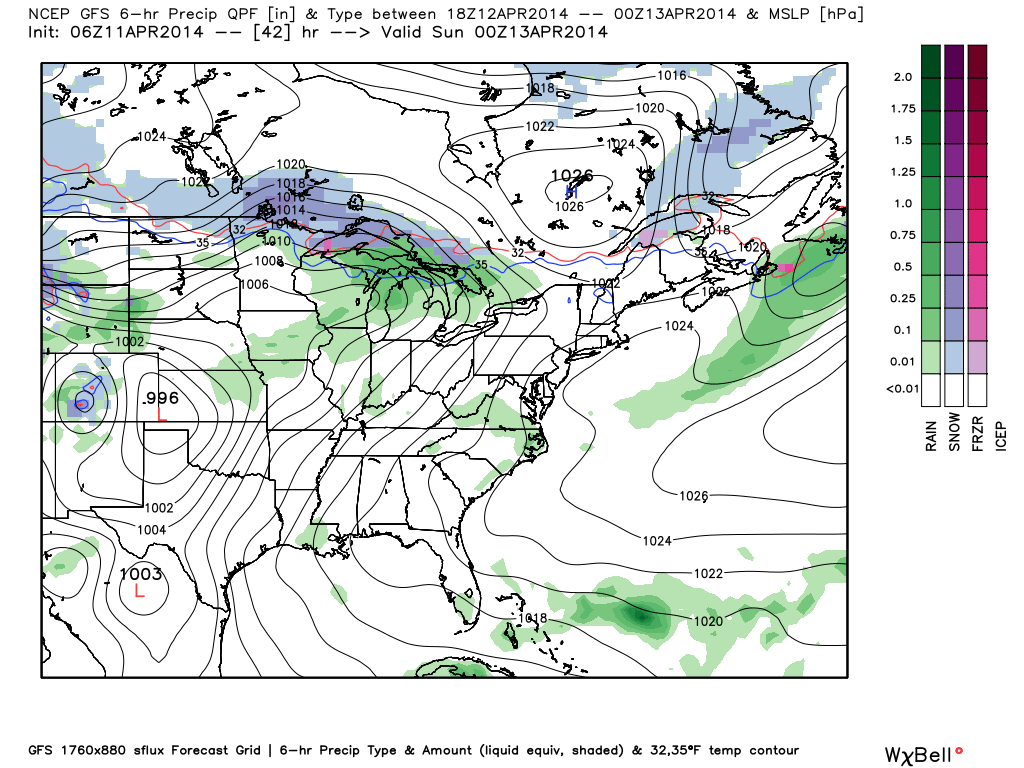
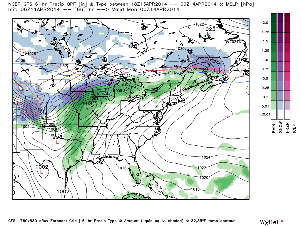
Eyeing Another Wintry Weekend…Modeling is still far from in agreement on the evolution of things on the weekend, but the general idea is one that brings a cold front through here Friday night into early Saturday morning with a wave of low pressure moving northeast out of the middle Mississippi River Valley into the eastern Ohio Valley Saturday.  With fresh cold air oozing south, combined with the associated track of the low, this is a potentially wintry set up for the region and we’re officially calling for a wintry mixture of light snow and/ or sleet across central Indiana Saturday.  The key word is light, but it could still be enough to create a few slick spots across the region.

Briefly Milder; Tracking The Next Significant Storm…The GFS and Canadian forecast models keep our region dry during the early to middle part of next week as a surface low tracks out of the Gulf and well south and east of our region.  On the other hand, the European forecast model winds a storm up much farther north and west and presents a heavy rain and possible thunderstorm threat here by Tuesday and Wednesday of next week.  We still have time to watch this and think the European may be a little too aggressive at present, but stay tuned.

What we are confident on is a briefly milder push of air early next week that could send temperatures well into the 50s.  Don’t get used to it, however, as yet another polar plunge arrives by the mid week stretch.

Upcoming 7-Day Precipitation Forecast

  • 7-Day Snowfall Forecast: 1-2″
  • 7-Day Rainfall Forecast: Less than 0.10″

twic

For weather updates and more “behind the scenes” data on the go, be sure to Follow Us on Twitter @indywx or become a Friend of IndyWx.com on Facebook!

images

Permanent link to this article: https://indywx.com/a-record-cold-start-possible/

More On This Weekend’s Winter Storm…

As we’ve been discussing, a significant winter storm is developing this weekend.  The set up is one that will feature an arctic cold front sinking south and stalling out across southern and central Indiana Saturday night.  Low pressure will then organize over the Ark-la-tex region and head northeast, tracking into the northern Tennessee Valley Sunday and Sunday night.  The low will move off the southern Mid Atlantic coastline Monday evening.  This will be more of a prolonged event when compared to our last two winter storms as waves of moderate to heavy snow move into central Indiana beginning late Saturday night.

This is an ominous set up for more heavy snow across central Indiana- one that’s notorious for heavy snow events across central Indiana.  We hoisted our initial snowfall forecast Thursday morning and placed central Indiana under the threat for 6-8″.  As of this morning, we’re remaining firm on that idea.  It should be noted that the GFS remains very bullish on heavier totals (and consistent, as well), but it should also be pointed out it’s somewhat of an outlier as of this morning as the GEM and ECMWF are more suppressed with lighter totals.  All of that said, we lean more towards the GFS solution versus the more suppressed Canadian and, to some extent, European forecast model.  Should the other model data begin to trend towards the snowfall idea per the GFS then the initial 6-8″ forecast will have to be adjusted upward.  The storm is just now coming onshore and will be sampled better with model runs later today.

Any way you slice it, a significant and disruptive winter storm is brewing this weekend and could make an absolute mess of your Sunday and Monday.  A shot of bitterly cold air will flow in behind our departing storm early next week.

Our current accumulation idea and storm track can be found below:  We’ll have another update here late tonight and you can keep up-to-date with all of our thoughts on the go on Twitter (@indywx).

WinterStormTrack030214


WinterStorm030214Totals1

Permanent link to this article: https://indywx.com/more-on-this-weekends-winter-storm/

Old Man Winter Is Back… (Did He Ever Leave)?

We touch on the potential winter storm brewing in the Sunday-Monday time period in this video.  A significant winter storm is brewing for some and we cover some initial thoughts…

You must be logged in to view this content. Click Here to become a member of IndyWX.com for full access.  Already a member of IndyWx.com All-Access?  Log-in here.

Permanent link to this article: https://indywx.com/old-man-winter-is-back-did-he-ever-leave/

Early 0z Runs Trending More Icy Vs. Snowy…

Quick post tonight just to alert you that early model runs off the 0z suite of data suggests less of   a snow threat and more of freezing rain/ sleet…

You must be logged in to view this content. Click Here to become a member of IndyWX.com for full access.  Already a member of IndyWx.com All-Access?  Log-in here.

Permanent link to this article: https://indywx.com/early-0z-runs-trending-more-icy-vs-snowy/

Next Week’s Spring Tease Is Just That, A “Tease…”

There’s no doubt we’re looking at a brief pattern change next week that will result in air temperatures that will have many of you craving spring.  That said, the key word in that sentence is “brief” and a colder, more wintry pattern looks to return to wrap up February and head into March.

Before we discuss the return of the cold and potentially wintry regime for late month, let’s focus on the milder conditions.  Data suggests we may be looking at highs zooming all the way into the lower to middle 60s towards the 20th-23rd time period.  The spring tease is likely to come at a cost as the milder southerly breezes likely result in lots of dense fog and areas of drizzle as a deep snowpack remains locked in place.  Flooding concerns may also become a concern next week, especially if we inject moderate to heavy rain into the region.  10-day rainfall numbers do have to make us a little nervous as a blend of model data suggests 1″-1.5″ down between now and the 22nd.  We’ll continue to monitor things.

Finally, it should be noted that while a brief “relaxation” of the seemingly unending winter is on the way, the long term pattern continues to suggest a cold and wintry time of things continues overall.  Next week appears to be an “island of warmth in a sea of cold” type pattern.  Latest ensemble data continues to back this idea up.  That’s not saying we’re going to deal with the type of severe cold we’ve seen over the past several weeks, but instead means we’re going to go back below normal as we get set to wrap up February and head into March.

The latest GFS ensembles show the evolution of things well.  The “double secret probation” European model also shows something similar.

gefs_z500anom_nh_33gefs_z500anom_nh_49gefs_z500anom_nh_65

Note the ridge and associated spring “tease” is replaced with a cold and more wintry looking eastern trough rather quickly.  Circle the 24th on your calendar for the potential of a widespread storm system.  Far too early for details or questions, but the pattern looks to produce some busy times around this point.  Before that we have plenty of weather in front of us to deal with… weekend snow opportunities, foggy/ drizzly weather to accompany the initial surge of milder air next week, and a spring tease by late next week!

Permanent link to this article: https://indywx.com/next-weeks-spring-tease-is-just-that-a-tease/