A beautiful weekend is underway. Stepping out on the deck this morning for my morning coffee was much more refreshing when compared to the past few days. Dew points in the 40s along with temperatures around 60 made for a very nice feel this morning.
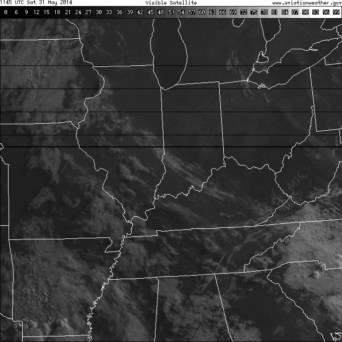
This morning’s visible satellite shows clear skies continue. Definitely plan to get outside today, but with that sun screen!
Most of Sunday will be nice, as well, but clouds and humidity levels will increase Sunday afternoon and evening and a couple of showers and thunderstorms will be possible as early as Sunday night.
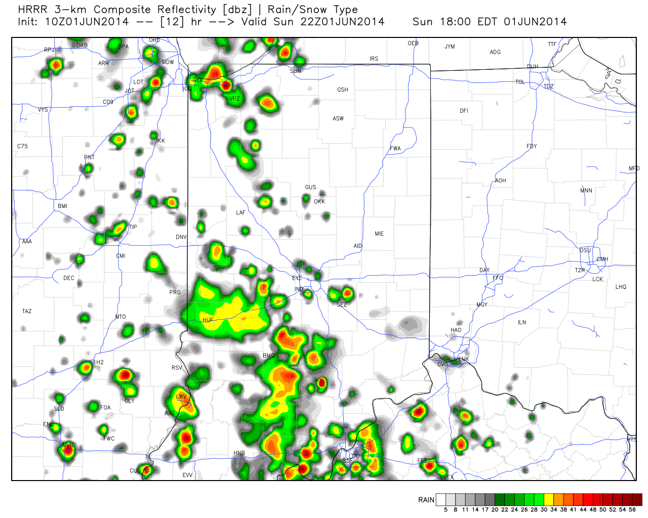
Future radar shows scattered thunderstorms around the region Sunday night.

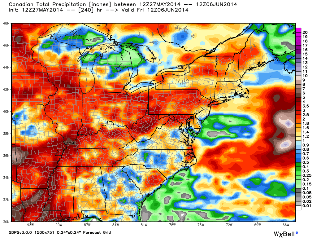
Warmth and humidity will return to oppressive levels for the better part of next week and this will help add fuel to the fire for heavy rain and potentially strong thunderstorms. Model data handles the timing differently with next week’s storm system (as is usual at this stage), but agrees on the heavy rain potential. Widespread 1.5″ to 2″ rainfall appears to be a good bet at this point next week.
Upcoming 10 day rainfall potential, per the Canadian forecast model, shows the wet pattern unfolding, including excessive rains for some locales.

The GFS (below) pushes the front south a bit quicker and in return delivers drier air next weekend. The European forecast model doesn’t agree.

Also of interest, the GFS continues to spin up Gulf of Mexico “mischief” late next week…