
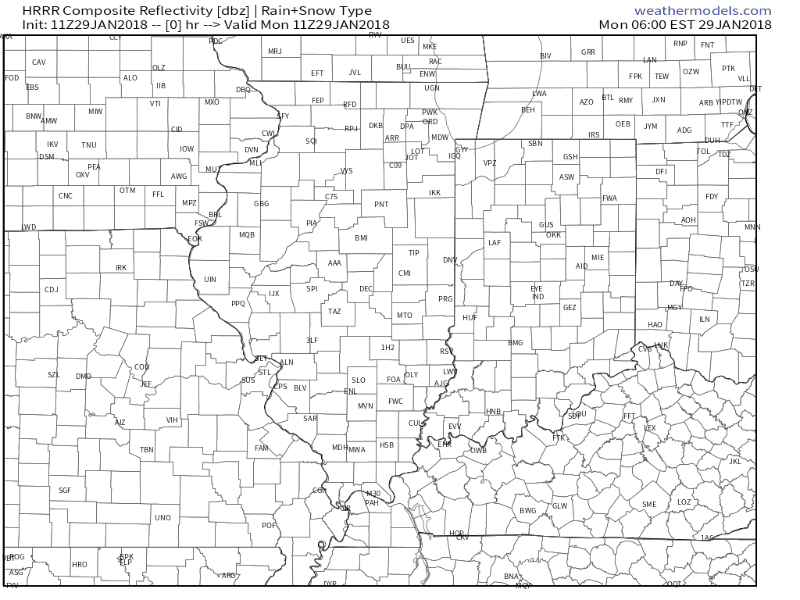
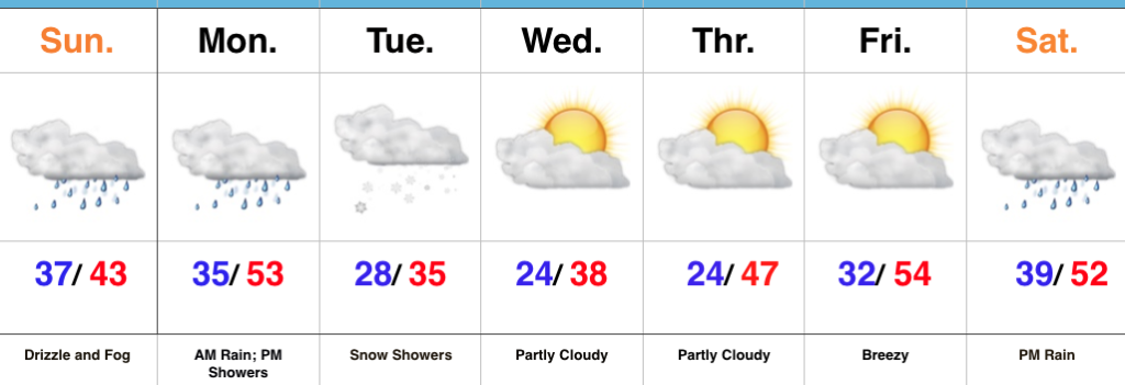
Upper level energy along with a bit of lake effect enhancement will lead to scattered snow showers late morning through the afternoon and into the early evening. We also note high resolution data picking up on a thin lake effect snow band rotating into the northern ‘burbs after the evening rush.
 Cold high pressure will settle overhead Tuesday and Wednesday and supply a return of dry times, complete with sunshine. We’ll turn breezy in advance of our next storm system Wednesday.
 That next system will come in the form of a cold front that will settle south across the state Thursday. Light rain will overspread the region early in the day before mixing with and ending as light snow. This still doesn’t appear to be a significant event for our region at this time.
 What may be a bigger deal is the event that looms this weekend. Clouds will increase during the day Saturday and a light mix of rain and snow should develop late Saturday night into Sunday morning before colder air wins out changing all precipitation over to snow.
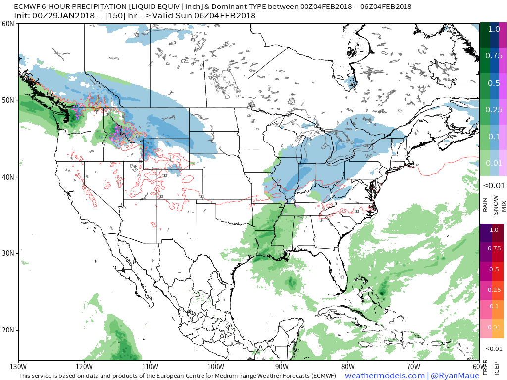 We’re getting into a pattern where the northern stream of the jet will dominate over the next 7-10 days (at least). Models will likely struggle handling individual systems and we’ll have to remain on our toes for the potential of last minute shifts with systems in such a pattern.
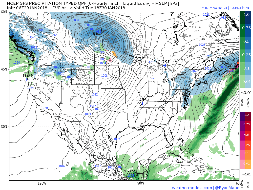
 Areas of fog and drizzle will continue this evening before a stronger southwesterly air flow pushes the low clouds and fog north during the overnight. As a cold front draws closer, steadier rains and perhaps even a clap of thunder (especially down state) will arrive Monday morning. Temperatures will remain nearly steady or even rise overnight into the lower 50s.
 The frontal passage, itself, will take place Monday evening and may feature a couple of gusty showers, especially across western and central portions of the state.
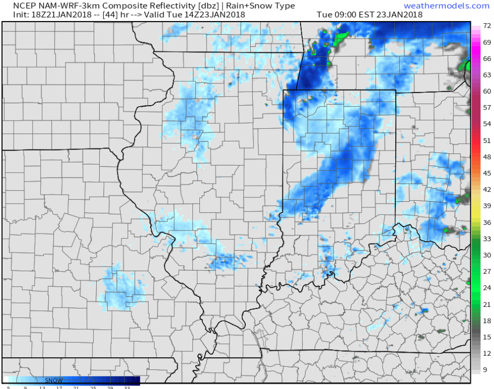
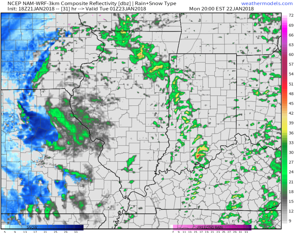 Temperatures will grow colder Monday night into Tuesday morning and precipitation will end as snow showers Tuesday.
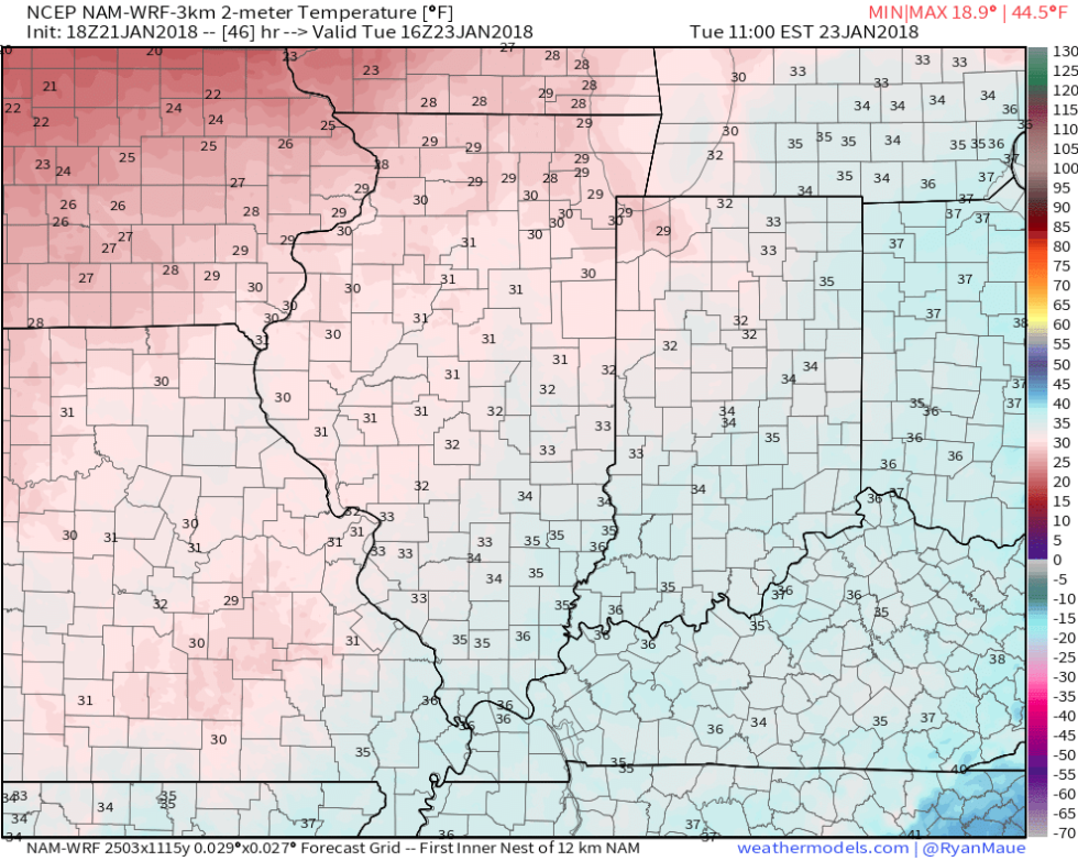
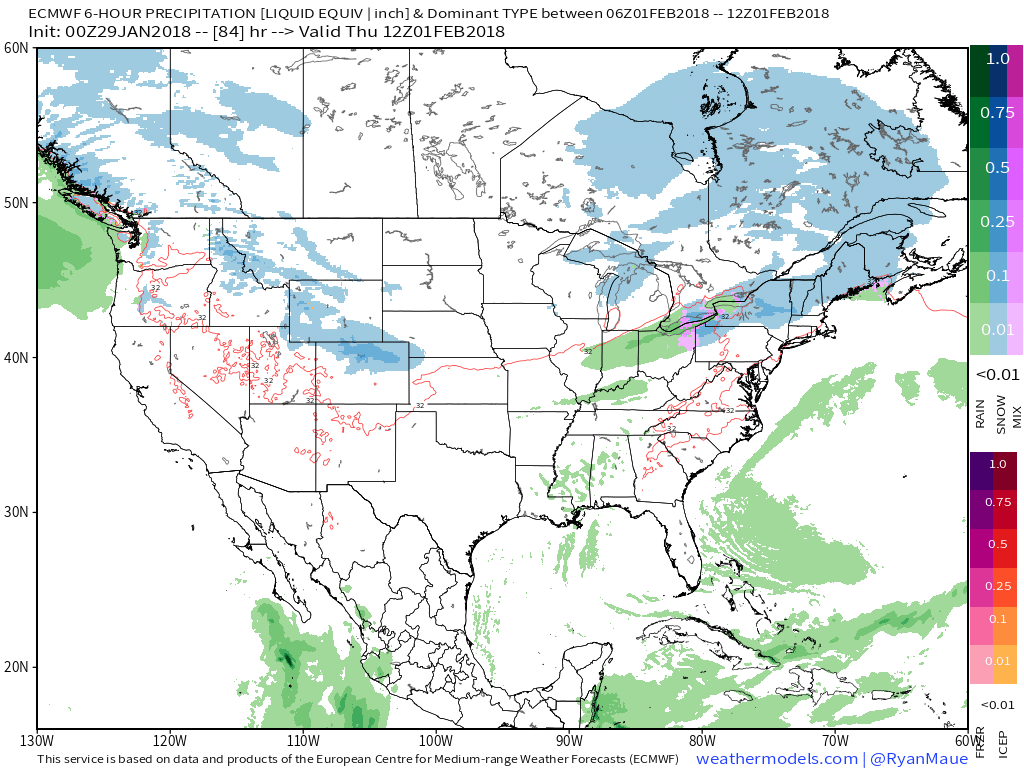
 High pressure will build in through midweek and provide dry conditions with increasing sunshine. The midweek stretch will begin seasonable before warming ahead of our next storm system.
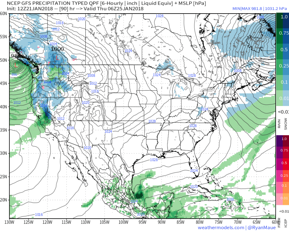 That next storm system will deliver rain as early as Friday evening into Saturday. We’ll note an increasingly gusty southwesterly breeze as we wrap up the work week, along with increasing cloudiness.
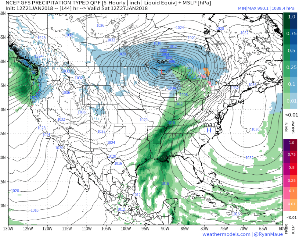
 Highlights:
 Highlights: