Category: Forecast

Beautiful Weekend Underway!

Sat.

Sun.

Mon.

Tue.

Wed.

Thr.

Fri.

 Status-weather-clear-icon

 Status-weather-clouds-icon

 Status-weather-showers-day-icon

 Status-weather-showers-day-icon

 Status-weather-clouds-icon

 Status-weather-showers-day-icon

 Status-weather-showers-day-icon

49/ 75

53/ 83

69/ 84

70/ 88

72/ 91

71/ 90

70/ 89 

– – –

– – –

Light

Light

– – –

Light

Light

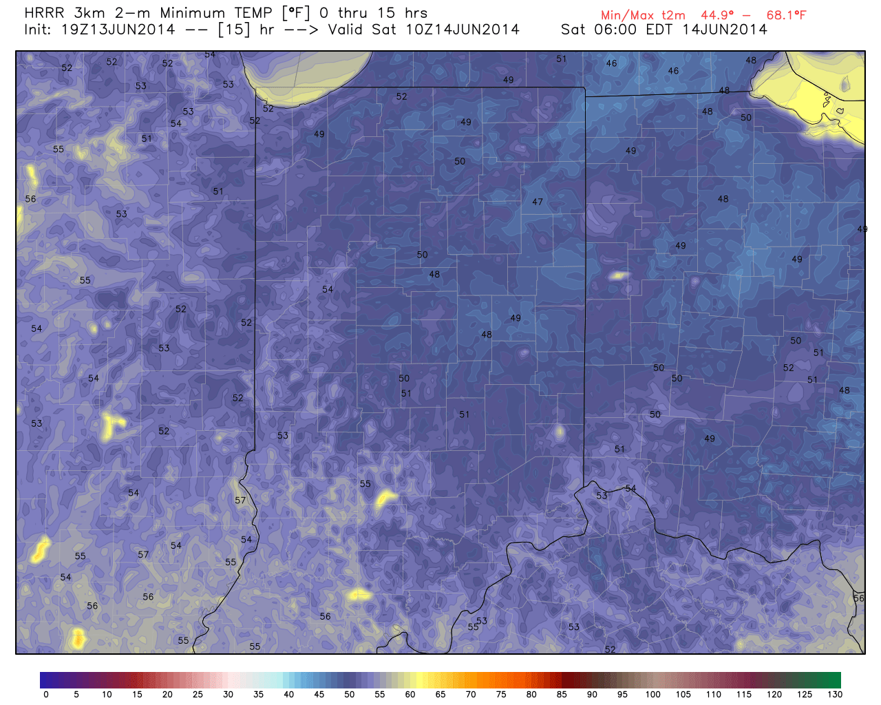
Normal lows and highs for mid June are in the lower 60s and lower 80s, respectfully.  Once again today, temperatures will remain well below average.  Many communities outside of the circle dipped into the 40s this morning- officially 46 this morning here at IndyWx.com HQ.  Highs today will only reach the middle 70s under a mostly sunny sky with a light north breeze.  Get outside and enjoy every minute of it!  (BTW- does this weather have anyone else craving college football season)?  In looking ahead, it’s a good thing we’re able to get the AC a break for a few days, because we still anticipate the heat and humidity to really crank next week.  While Father’s Day will get off to another refreshing start, humidity will build during the afternoon and evening, and really set the tone for the week ahead- hot and humid!  We’ll monitor the chances of a couple complexes of showers and thunderstorms late Sunday night through Tuesday and again Thursday through Friday, but it won’t rain the entire period.

Permanent link to this article: https://indywx.com/beautiful-weekend-underway/

Friday Evening Video Update

A pleasant and cool evening is underway and many will dip into the upper 40s overnight.  The video discusses more!

hrrr_t2m_min_indy_16


Permanent link to this article: https://indywx.com/friday-evening-video-update-2/

Perfect Bonfire Weather…

Fri.

Sat.

Sun.

Mon.

Tue.

Wed.

Thr.

 Status-weather-showers-day-icon

 Status-weather-clear-icon

 Status-weather-clouds-icon

 Status-weather-storm-night-icon

 Status-weather-showers-day-icon

 Status-weather-clouds-icon

 Status-weather-showers-day-icon

58/ 71

49/ 73

53/ 82

67/ 82

69/ 87

70/ 87

69/ 83 

Light

– – –

– – –

Moderate

Light

– – –

Light

A noisy thunderstorm rolled through the northern suburbs last night.  I was awaken from a deep sleep around 12:30 to plenty of lightning, thunder, and heavy rain.  While there are a couple showers around this morning, those will track east rather quickly and a pleasant northwest wind will usher in amazingly cool and refreshing air for this time of year.  Simply put (yet again) today and Saturday will feature weather that just cannot get any better this time of year.  We forecast many outlying communities away from the city to reach the upper 40s Saturday morning and highs both today and Saturday will only climb into the lower 70s.  Ahhh, anyone else craving fall?!  For those summer lovers, have no fear as heat and humidity will build late in the weekend and really set the tone for the week ahead.  Additionally, a couple round of showers and heavy thunderstorms will be possible next week.  Right now we target Monday and Thursday for best chances of heavy rain.

Permanent link to this article: https://indywx.com/perfect-bonfire-weather/

Unsettled Wednesday…

Wed. Thr. Fri. Sat. Sun. Mon. Tue.               64/ 74 60/ 79 60/ 73 51/ 75 59/ 83 70/ 84 71/ 88  Light Light…

You must be logged in to view this content. Click Here to become a member of IndyWX.com for full access.  Already a member of IndyWx.com All-Access?  Log-in here.

Permanent link to this article: https://indywx.com/unsettled-wednesday/

Tuesday Evening Video Update!

Good evening and thank you for logging onto IndyWx.com!  Tonight’s video covers the unsettled time of things tonight into Wednesday morning as low pressure continues to have a hold on our area’s weather.  Also, we talk long range weather and give you an idea of what you can expect for the rest of the month of June, temperature-wise!  While we didn’t get into the precipitation side of things in tonight’s video for late month, I will say it continues to look very unsettled with above average rainfall anticipated to wrap up the month of June.  Anywhere from an additional 3-5″ of rain is possible as we go through the rest of the month here across central Indiana.

While the CFSv2 can be a bit erratic at times, we feel the model has a good handle on the way the overall pattern will evolve late June into July.

While the CFSv2 can be a bit erratic at times, we feel the model has a good handle on the way the overall pattern will evolve late June into July.

Permanent link to this article: https://indywx.com/tuesday-evening-video-update/