
Our overall weather pattern will be dominated by short-term cooling, significant warming by the weekend, and dry times continuing.
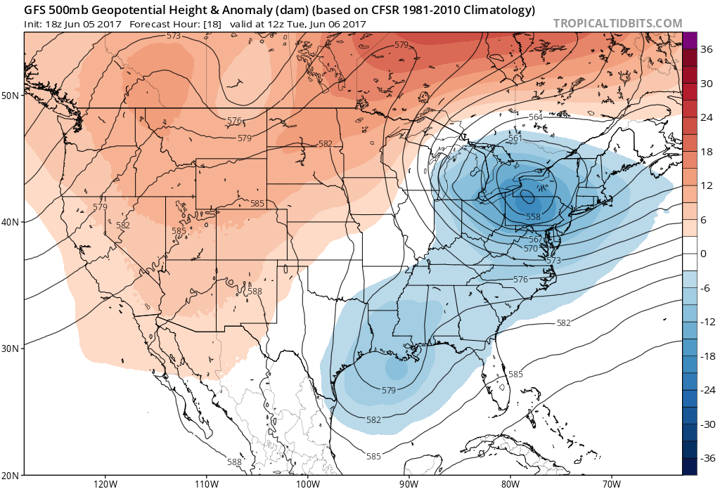
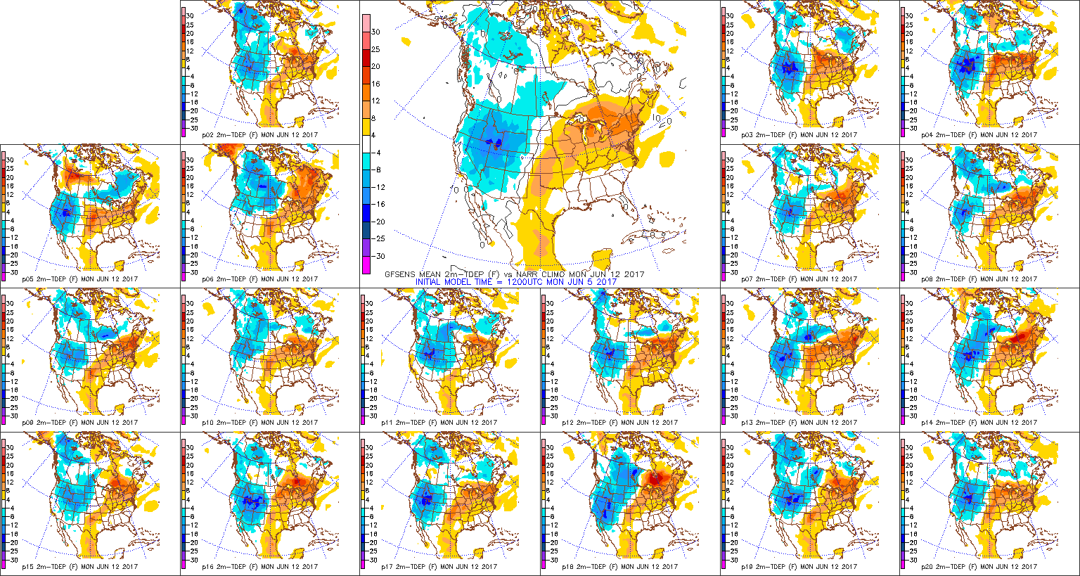
We’re noticing a significant change to the brand of our air mass this evening as a northerly wind is taking hold and helping to usher in lower dew points. This is only the beginning of a significantly cooler stretch of weather that will take us through the day Tuesday, continuing into Thursday. While the upper level low will drift south into the Northeast, our region will be dominated by a northerly flow and a much cooler, refreshing air mass into the latter portions of the work week.
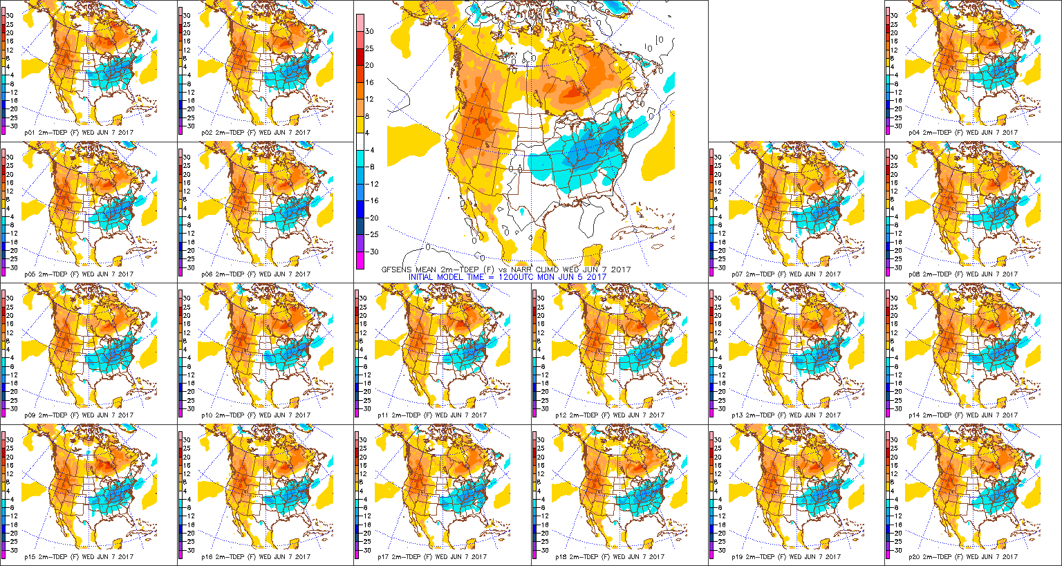
 In fact, we forecast highs Wednesday to only top the upper 60s, and this will be a good 10°-15° below average for June 7th. Lows each morning through Friday will start out in the lower-middle 50s for the city, itself, but some outlying neighborhoods will fall deep into the 40s. Very refreshing, indeed, for early June!
 High pressure will dominate our weather through late week, continuing the overall drier than normal theme.
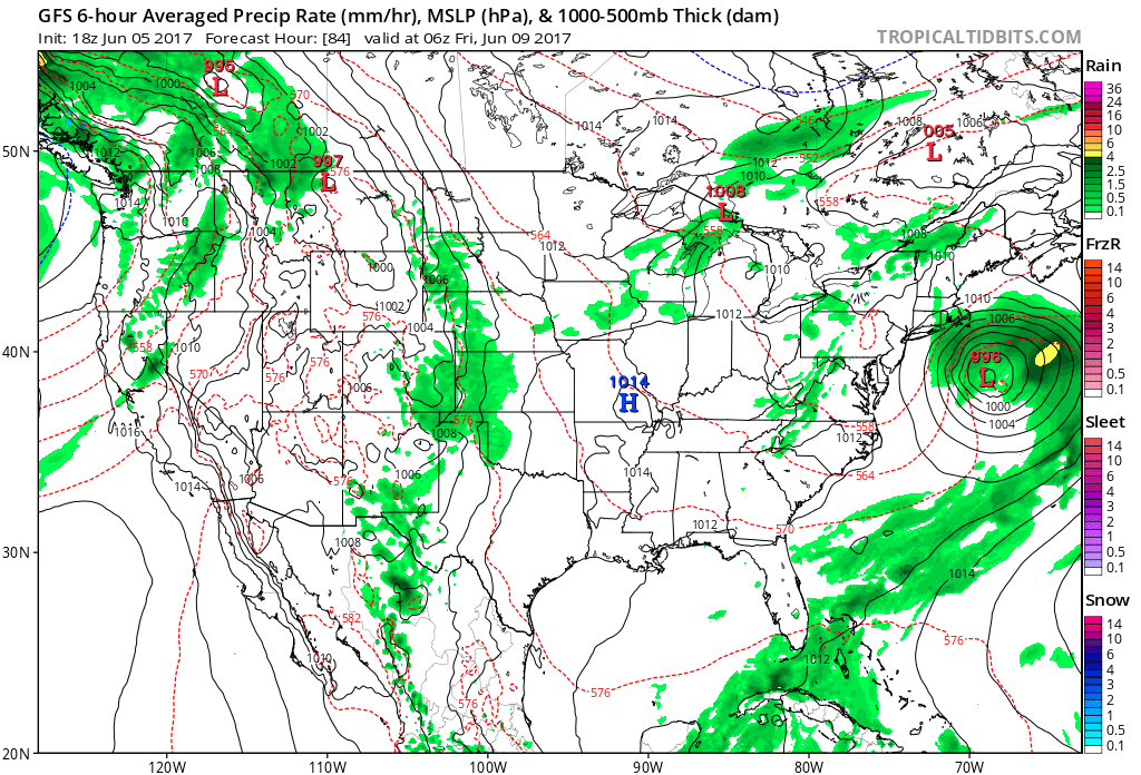
 Models slowly begin to increase moisture levels as we move into the weekend and an isolated shower or thunderstorm could develop, but widespread rains of significance aren’t anticipated for the foreseeable future.
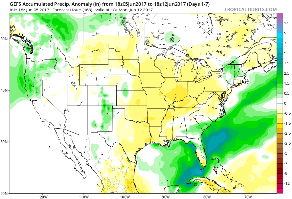
The bigger story by the weekend will be a developing hot weather pattern. Temperatures will be flirting with the 90° mark as early as Sunday and Monday. Instead of running 10°-15° below normal such as midweek, temperatures by early next week will be running 5°-10° above normal and very much like the “heart” of summer.
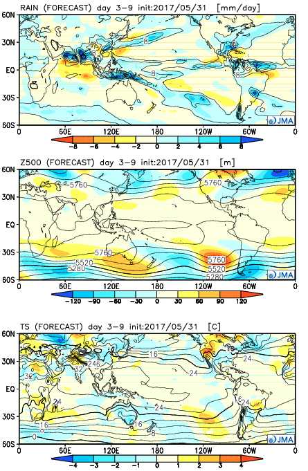 Week 2:
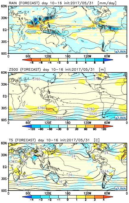 Weeks 3-4
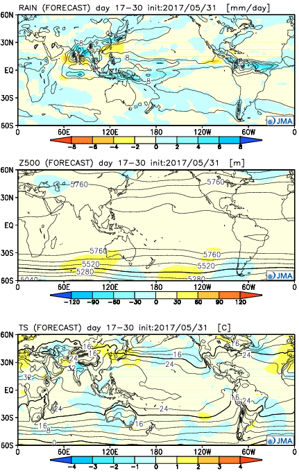
 The majority of our midweek stretch looks rain-free, but more widespread showers and thunderstorms will return as we push into the weekend. Recent trends have also slowed the FROPA (frontal passage) down significantly- now perhaps not until late Sunday.
 There will be dry time this weekend, but with a moisture laden air mass in place, locally heavy downpours can be expected, including rainfall potential of 1″+ this weekend for neighborhoods that get under a heavier storm.
 In fact, there may be a couple of days early next week where highs struggle to reach 70° with lows in the upper 40s to lower 50s. Very refreshing, indeed, for early June.