October Outlook: Bonus Period Of Warmth…
Updated 09.30.21 @ 7:18a
Before we dig into our thoughts around what lies ahead during the 2nd month of meteorological fall, let’s take a look at what some of the longer range computer models show:
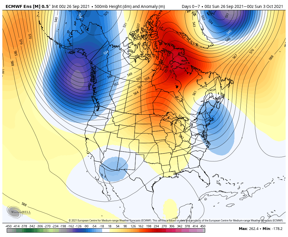
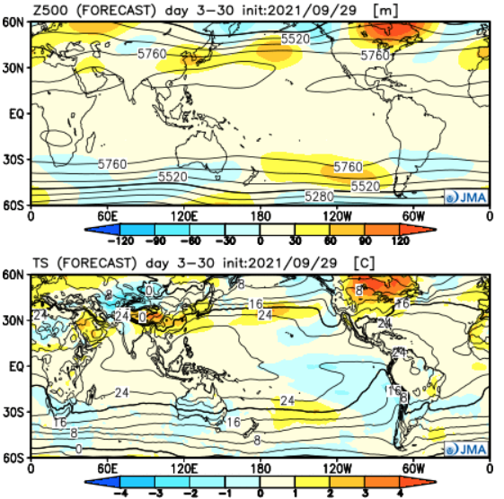
JMA- ‘Mean’ ridge parked over southeast Canada and into the northern Great Lakes with an associated warmer than normal pattern pegged from the northern Plains and points east- most notably along the northern tier. (Slightly warmer than normal here in the Ohio Valley).
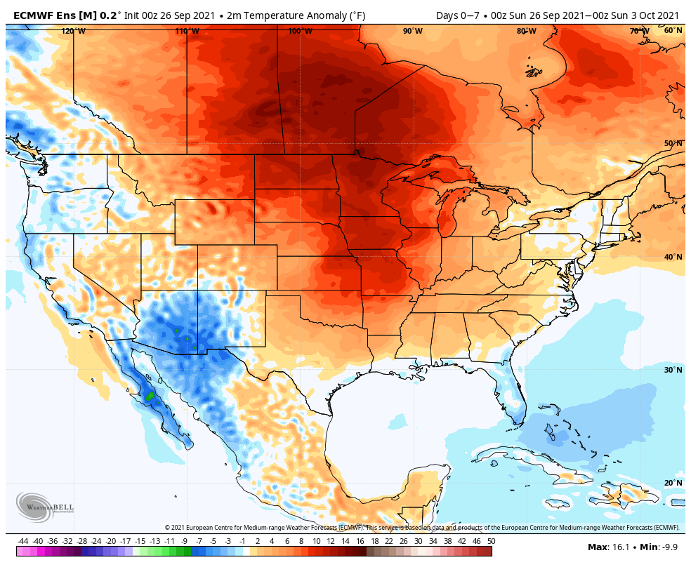
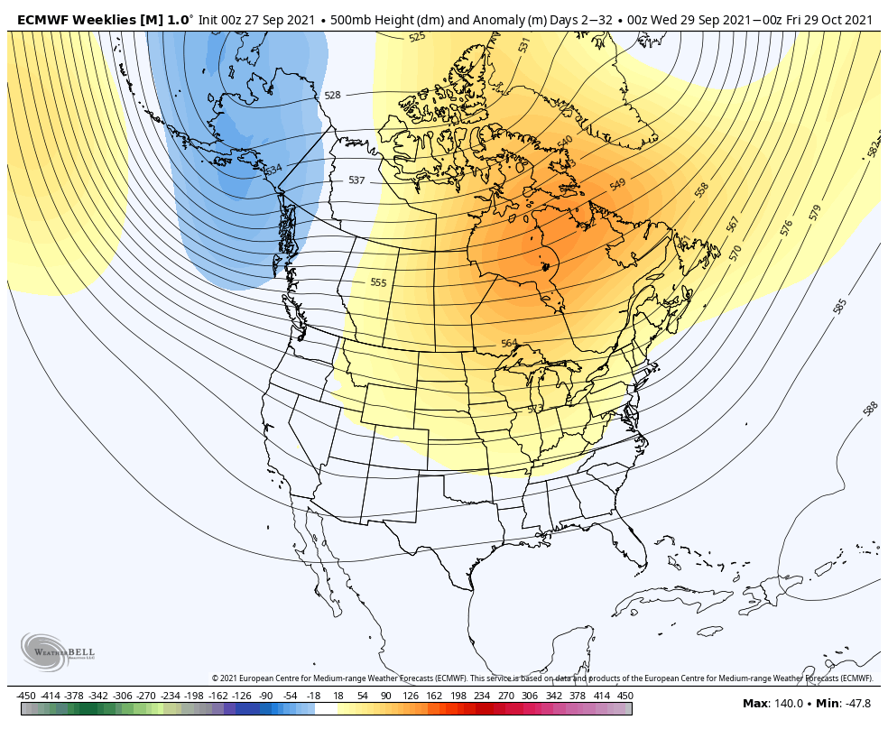
European Weeklies- almost identical to the JMA above. A persistent ridge is shown anchored across eastern Canada into the Great Lakes region. Well above normal warmth is painted across the upper Midwest and western Great Lakes while slightly above normal temperatures take up residence from the Plains and points east.

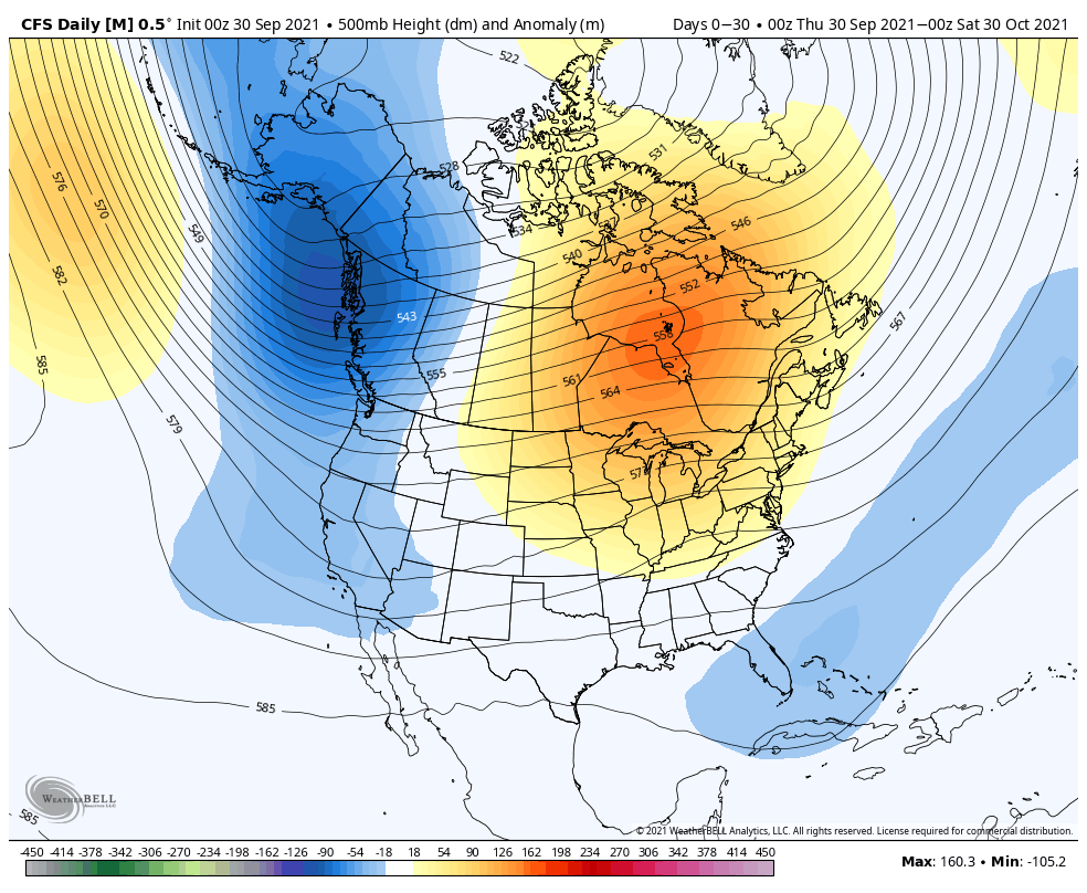
CFSv2- While still showing the significant upper ridge in the same place as it’s JMA and Euro counterparts, the CFSv2 is more bullish on a western trough and associated cooler pattern for that part of the country. Like the other guidance above, the model paints the warm, to much warmer than normal, look from the Plains and points east.
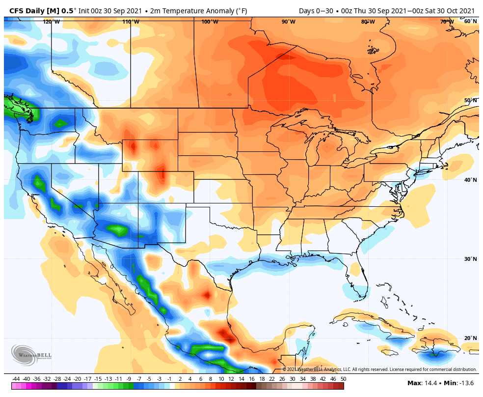
The warm look being shown on the models above should come as no surprise. There’s a tendency for such during La Nina Octobers, along with that persistent upper ridge placement. That’s not to say there won’t be brief intrusions of cooler air at times, but these will likely be fewer than normal by October standards, and “brief” is the key word.
In the short-term, the 2 primary teleconnections we lean on this time of year (PNA and EPO) don’t suggest there’s any reason to go against the October Nina analogs. Perhaps in the longer range (towards late October and into November), there’s a better window to change the pattern up, but my hunch is the more profound pattern shift doesn’t hit and hold until the 2nd half of November and December.

The MJO in large part is expected to remain in the “null” phase through the bulk of the month, meaning we’ll lean heavier on the PNA and EPO.
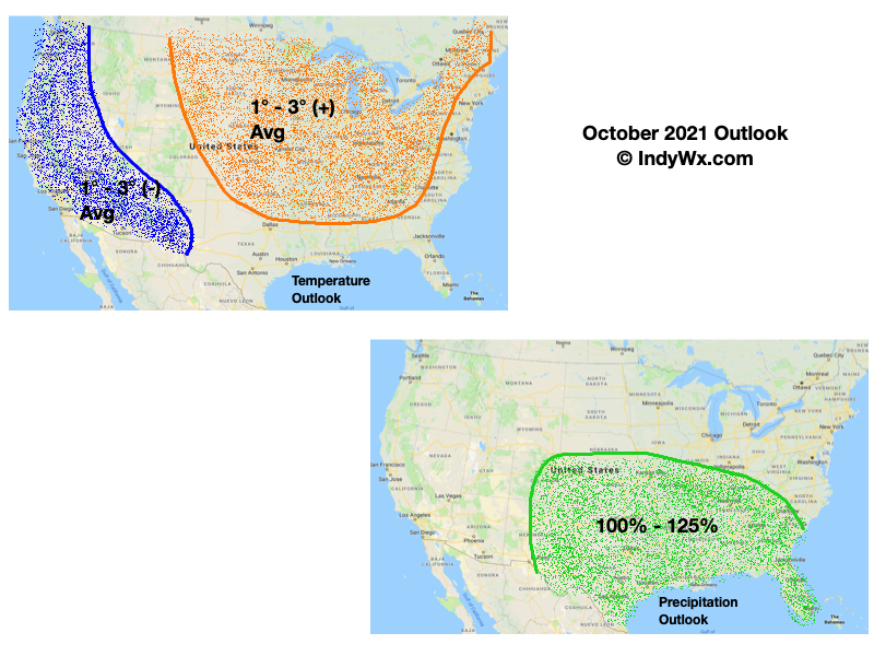
With all of that said, we’ll follow suit with a warmer than normal October (bonus warmth) for most of the country, including here in the Ohio Valley. Precipitation is expected to be near average for October (3.22″ is the average for Indianapolis).