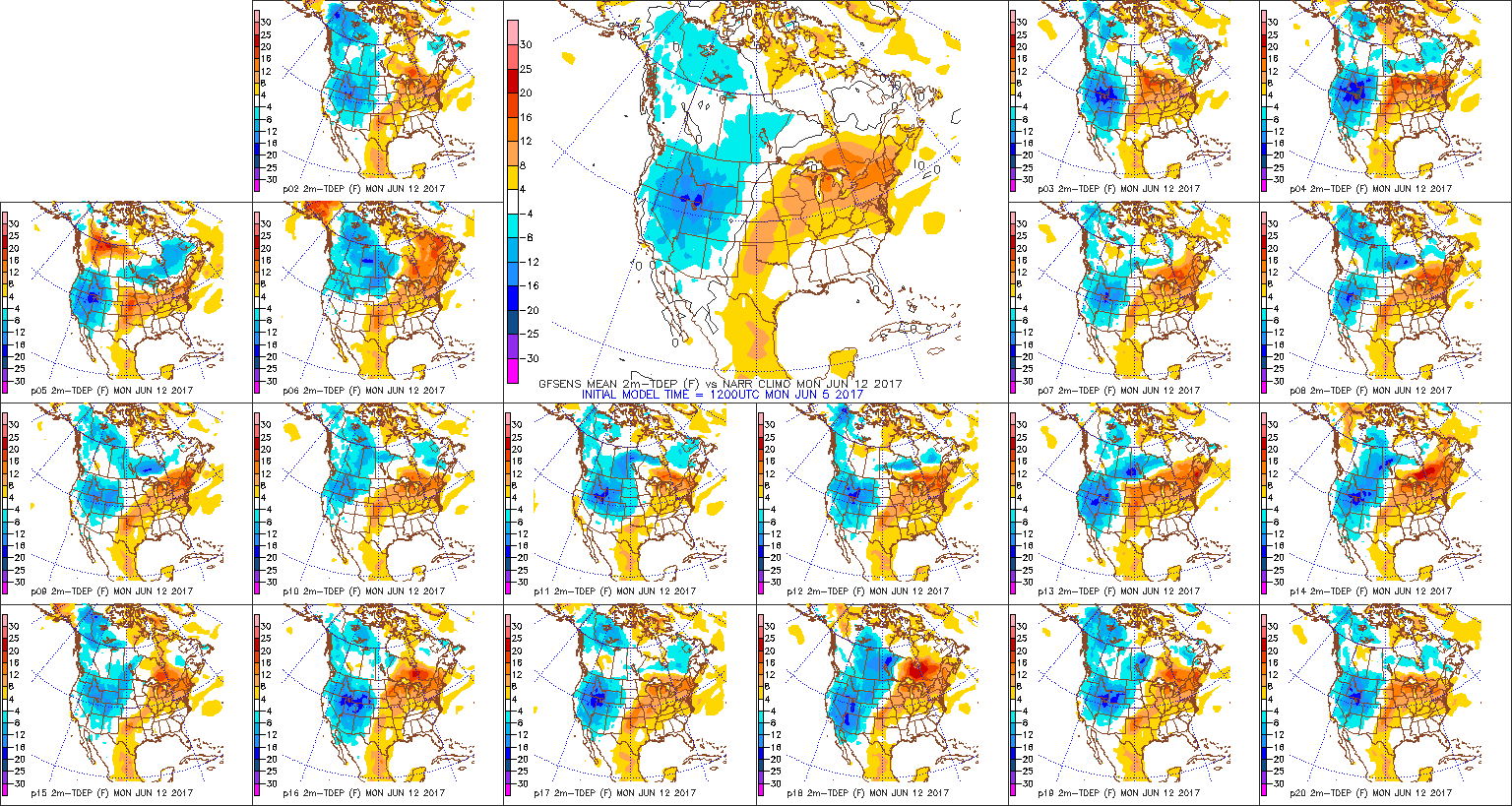
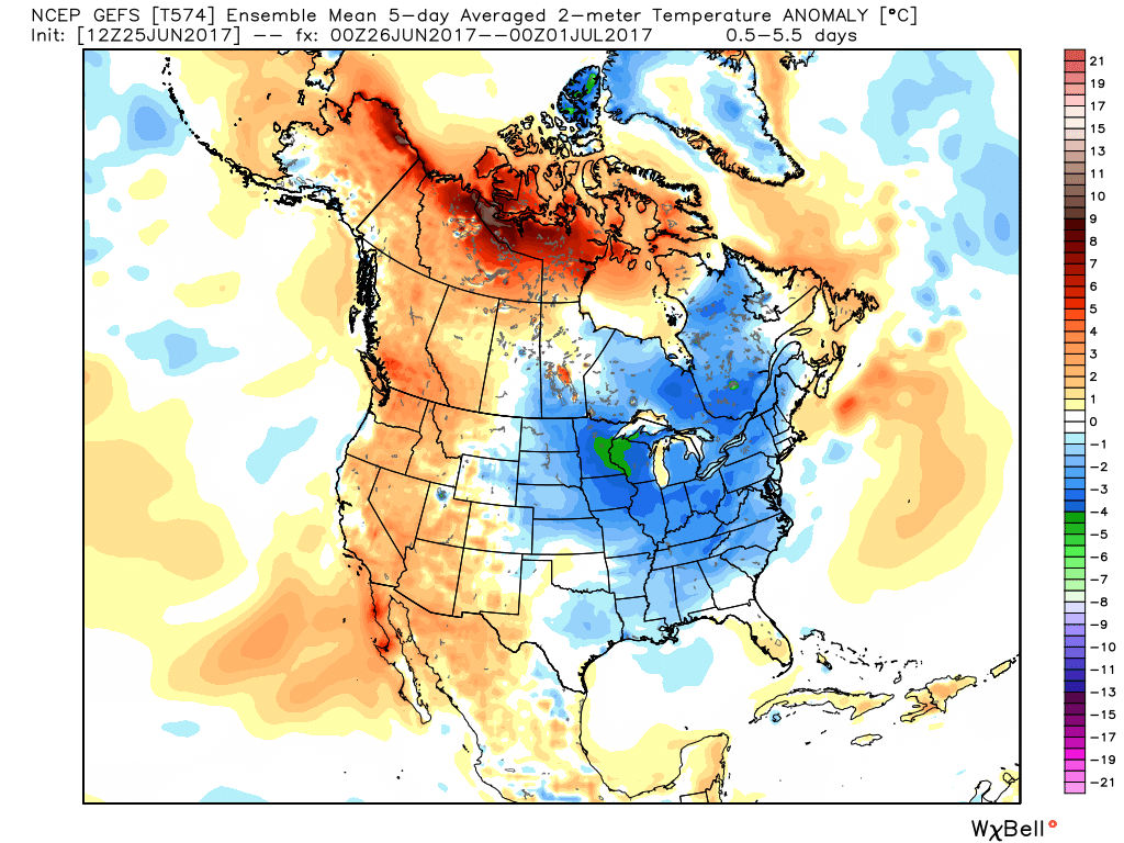
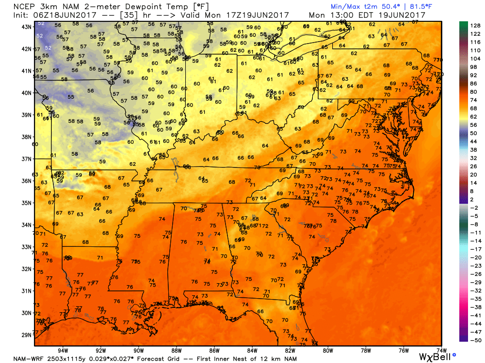
I. The new work week will open up with a continuation of unseasonably cool temperatures. Speaking of temperatures, how nice has it been to have air equivalent of late-September as we get set to wrap up the month of June?!
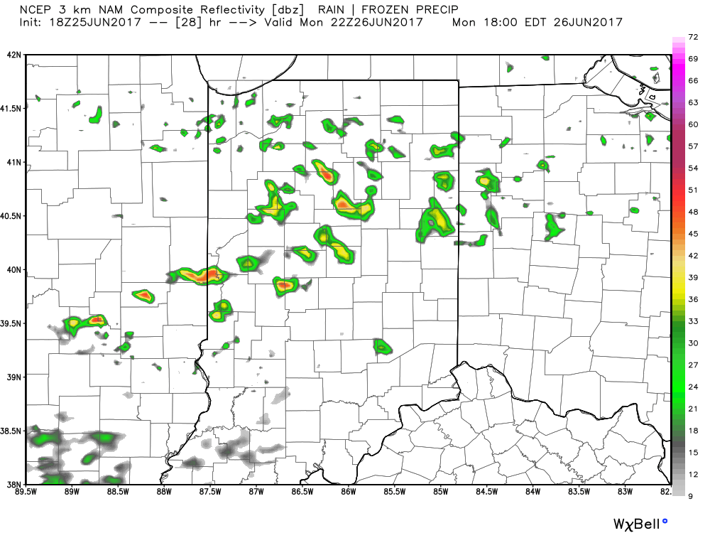
 II: A weak upper level disturbance will drift overhead Monday afternoon and help spark scattered showers and thunderstorms into the evening hours. Not everyone will get wet Monday evening, but a couple gusty storms are possible. Here’s a look at the radar valid at 6p Monday.
 III. After a dry Tuesday and Wednesday, better shower and thunderstorm chances will return to our forecast for late week into next weekend. Additionally, temperatures and humidity levels will return to closer to seasonal norms.
 IV. An active pattern will remain with us as we progress through the first half of June. A busy NW flow aloft will likely send multiple storm clusters southeast into the region and we’ll have to be mindful for the potential of some of these storm complexes containing strong-to-severe storms and excessive rainfall.
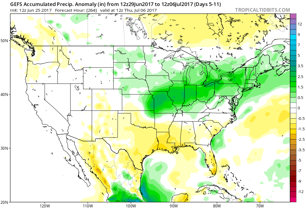


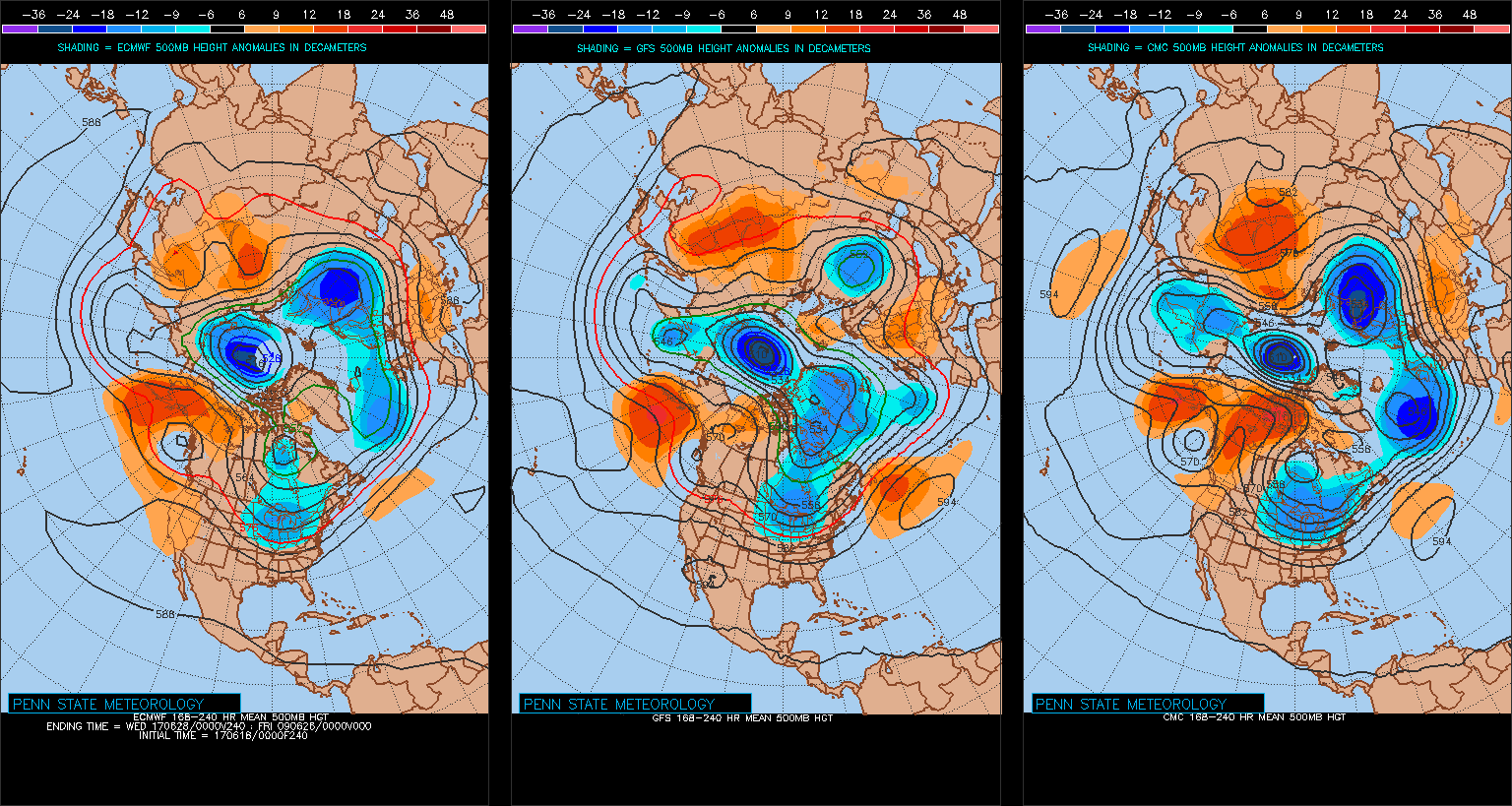
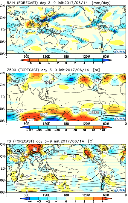 Week 2:
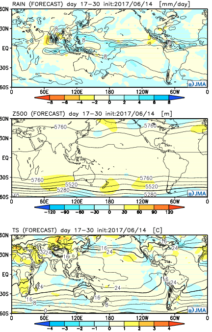
 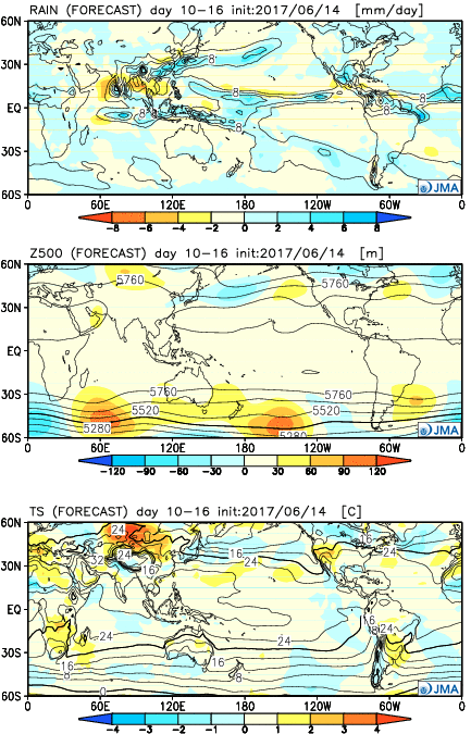 Weeks 3-4:
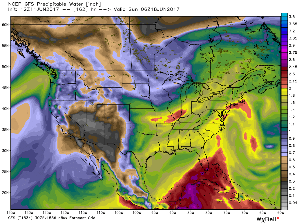
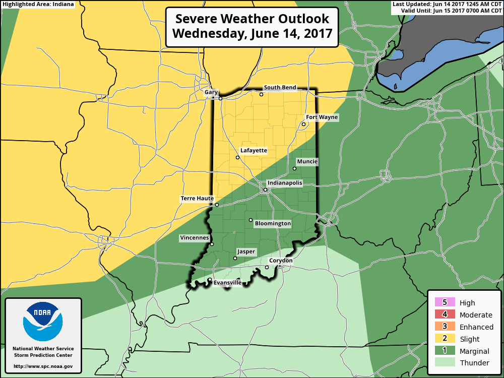 Similar to Tuesday, any storms that develop will be capable of locally heavy rain and flash flooding. While storms should move in a quicker fashion today, precipitable water values (PWATs) remain downright tropical and will exceed 2″ later this afternoon.
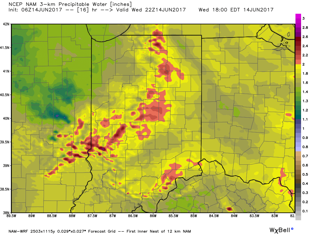 Overall storm coverage should become more widespread as we push into the afternoon and evening hours. Here’s what the radar may look like during the 4p, 6p, and 10p time frames:
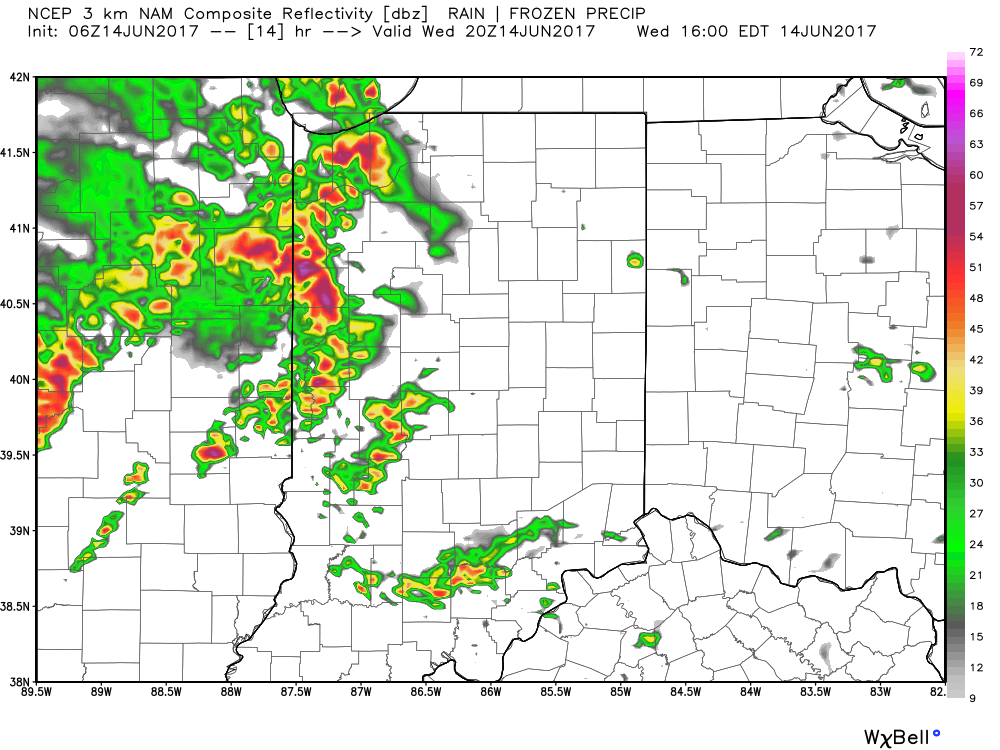
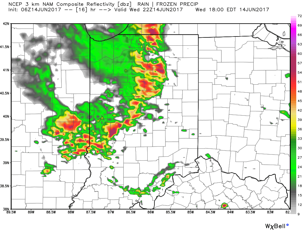
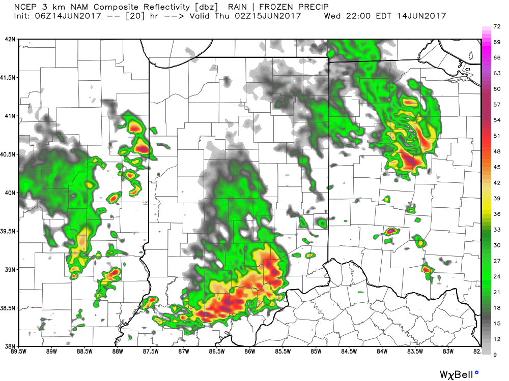 From a severe perspective, the biggest concern is damaging straight line winds with stronger storms. Remain weather-aware later today, friends!
 Best overall coverage of showers and thunderstorms should come in (3) waves over the upcoming 10-day period:
 As I type this outside on the back porch this evening, I hear the sounds of sprinklers in full-force through the ‘hood. Thankfully, Mother Nature will help save on the water bill later this week. Longer-term, you’ll hear us use the word “transient” many times this summer when discussing the overall weather pattern. Thankfully that tends to result in a fairly busy time of things. Before you know it, college football season will be back (83 days until my beloved Auburn Tigers kick-off), those wetter autumn storms will return, and thoughts will begin to shift to winter (they may have already started here :-))- not that we’re trying to rush summer away or anything…
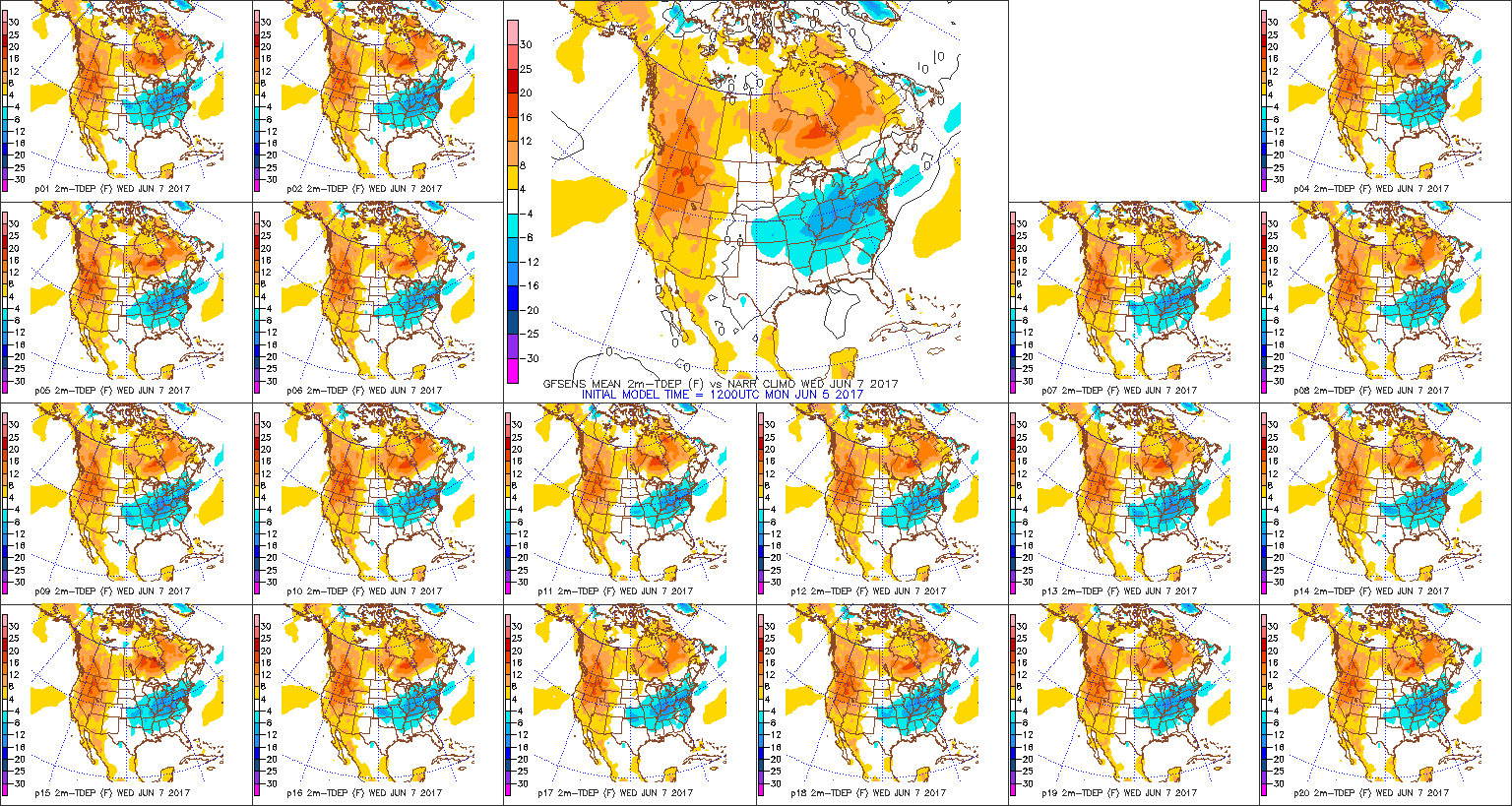
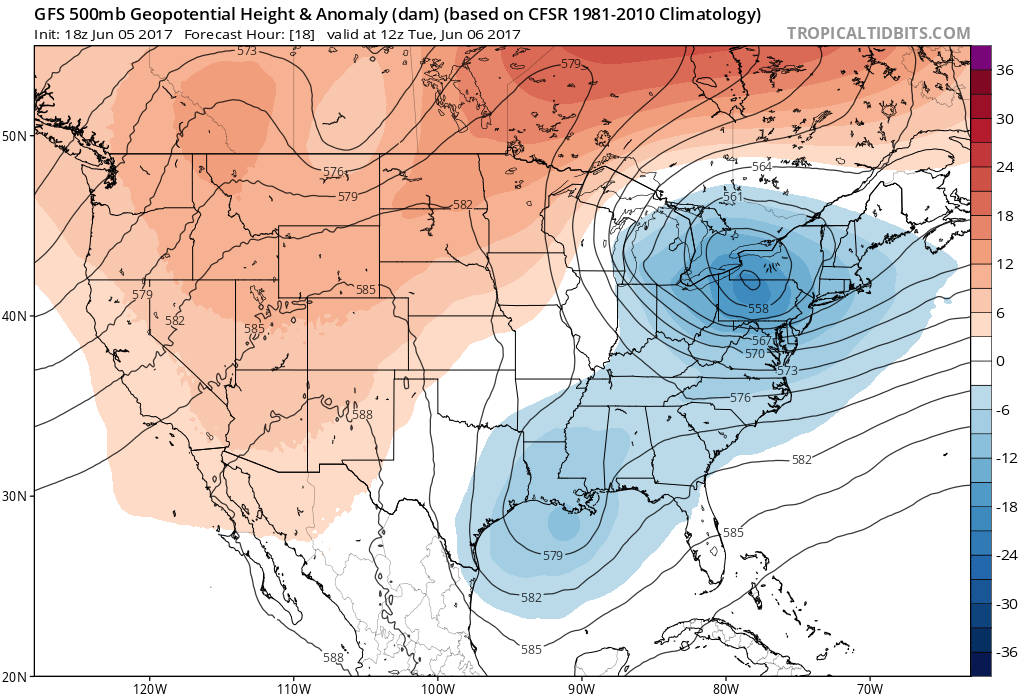 In fact, we forecast highs Wednesday to only top the upper 60s, and this will be a good 10°-15° below average for June 7th. Lows each morning through Friday will start out in the lower-middle 50s for the city, itself, but some outlying neighborhoods will fall deep into the 40s. Very refreshing, indeed, for early June!
 High pressure will dominate our weather through late week, continuing the overall drier than normal theme.
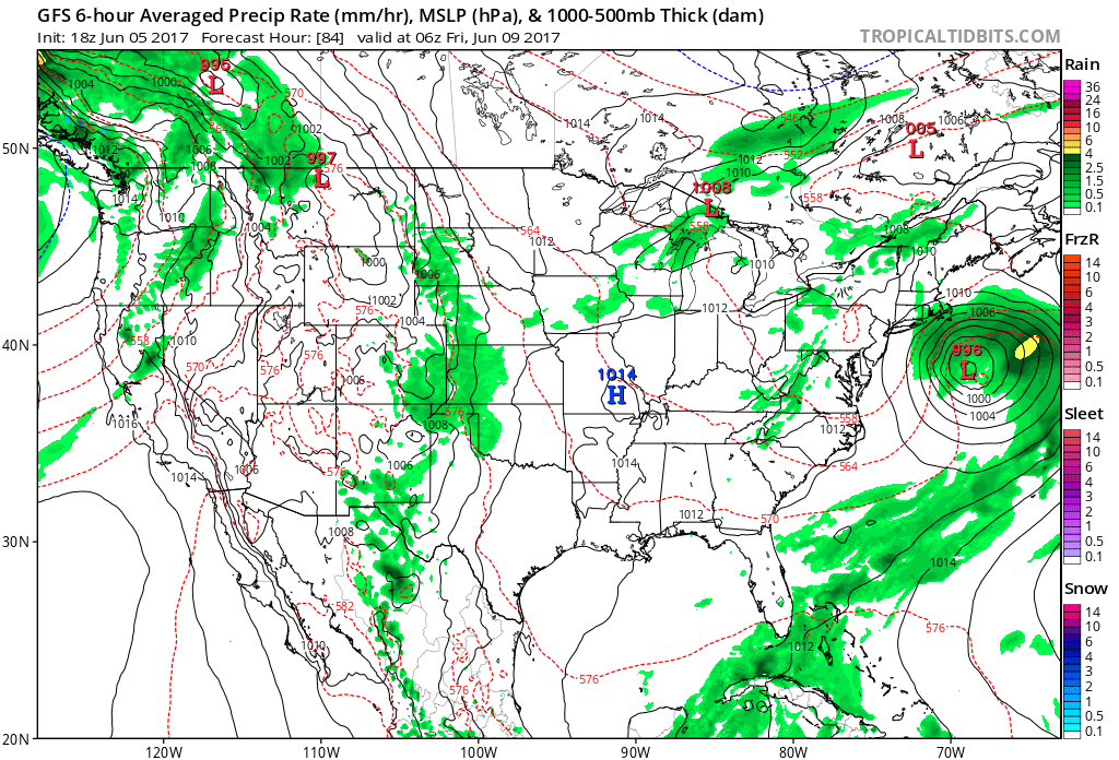
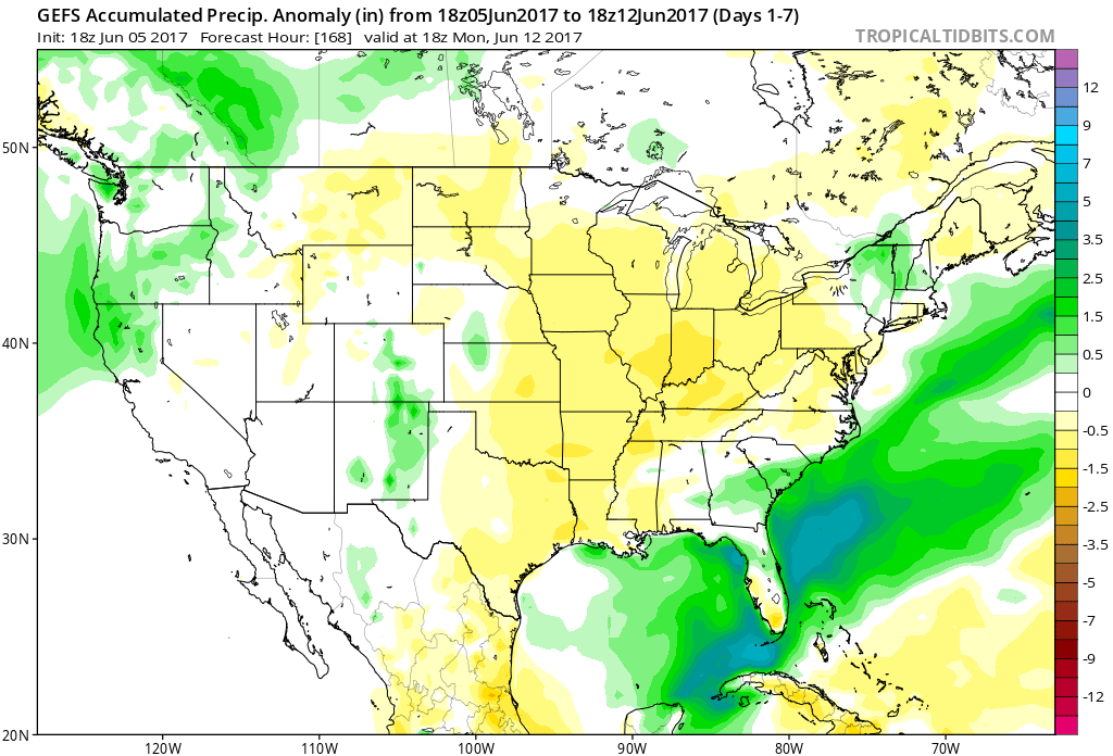 Models slowly begin to increase moisture levels as we move into the weekend and an isolated shower or thunderstorm could develop, but widespread rains of significance aren’t anticipated for the foreseeable future.