Active Severe Weather Day Ahead Thursday?
You must be logged in to view this content. Click Here to become a member of IndyWX.com for full access. Already a member of IndyWx.com All-Access? Log-in here.
You must be logged in to view this content. Click Here to become a member of IndyWX.com for full access. Already a member of IndyWx.com All-Access? Log-in here.
Showers and embedded thunder increase tonight and we eye Thursday for severe weather potential across the region…
You must be logged in to view this content. Click Here to become a member of IndyWX.com for full access. Already a member of IndyWx.com All-Access? Log-in here.
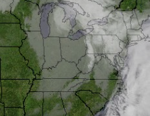
It’s a much cooler and overcast start to the work week. A quick snap shot of the morning satellite shows a stubborn low cloud deck that will slowly erode as we progress into the back half of the day from west to east.
 Chilly high pressure will settle over the region through the early week and provide drier conditions. Temperatures will fall to frosty levels tonight (30-32 degrees for most).

 Our air flow will back around to the SW Wednesday into Thursday and this will transport warmer, more moist air northward. As such, rain chances will begin to go up late Wednesday into Thursday.

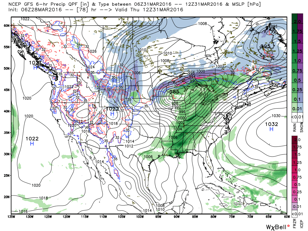 Rainfall amounts don’t look particularly impressive from this distance (0.50″-0.75″), but we’ll continue to keep an eye on things.
A secondary cold front will move through the region to close the work week and send much cooler air south. The good news? While still colder than normal, model trends haven’t been as cold in recent runs. We still think multiple nights of sub-freezing temperatures are ahead, but the “absurd cold” looks to remain to our north/ northeast as of now.
We open the forecast period dry and pleasant, but we turn stormy late Easter Sunday and MUCH colder air still looks to arrive as we welcome April. Details can be…
You must be logged in to view this content. Click Here to become a member of IndyWX.com for full access. Already a member of IndyWx.com All-Access? Log-in here.
We’ve been outlining the first (10) days of April for the potential of significant “out of season” cold for some time and confidence continues to build. We note all three…
You must be logged in to view this content. Click Here to become a member of IndyWX.com for full access. Already a member of IndyWx.com All-Access? Log-in here.