Wet Close To 2018…
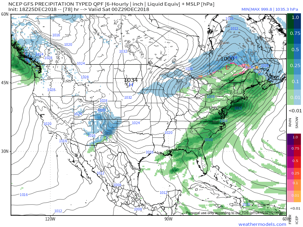
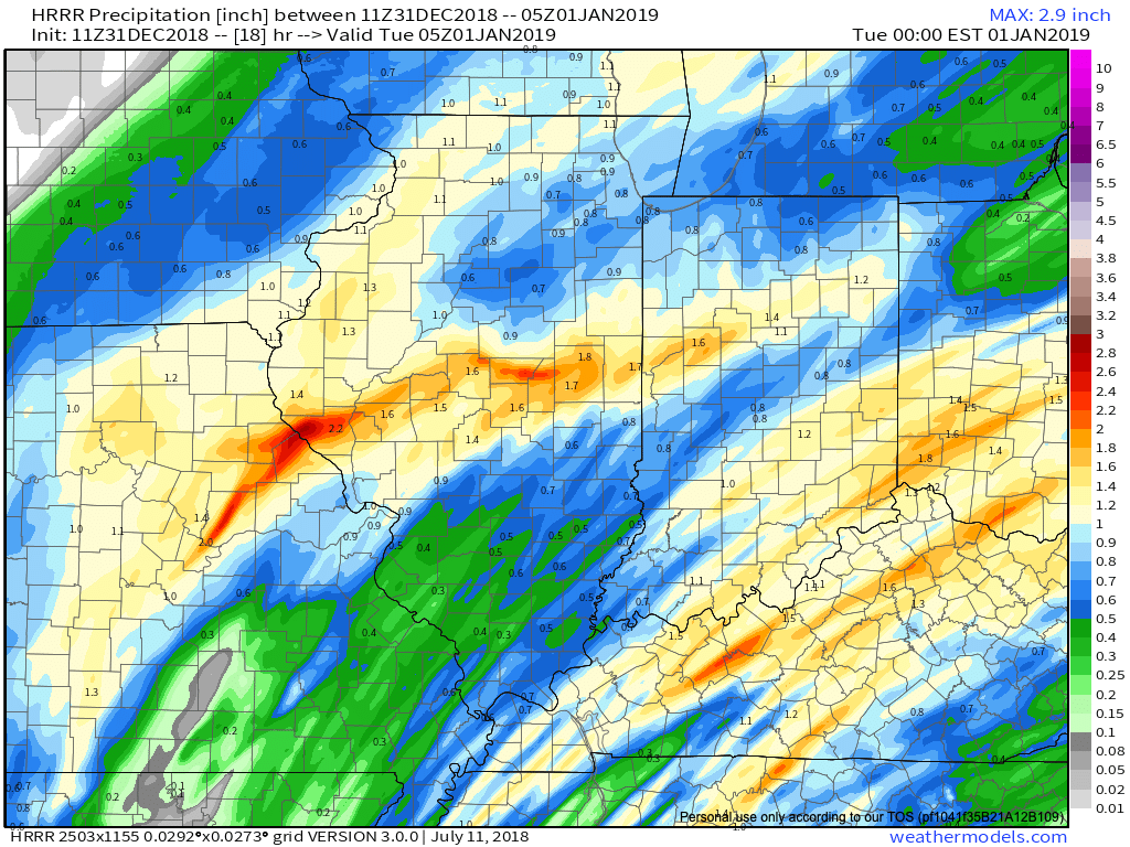
IND has already recorded over half an inch in the rain gauge this morning and there’s more where that came from between now and tonight. Steady rain will be replaced with scattered downpours late morning to around the lunchtime hour before widespread rain and embedded thunder returns early to mid afternoon. Most can expect to tack on an additional half inch to inch of rain today and the latest HRRR sees this as well.
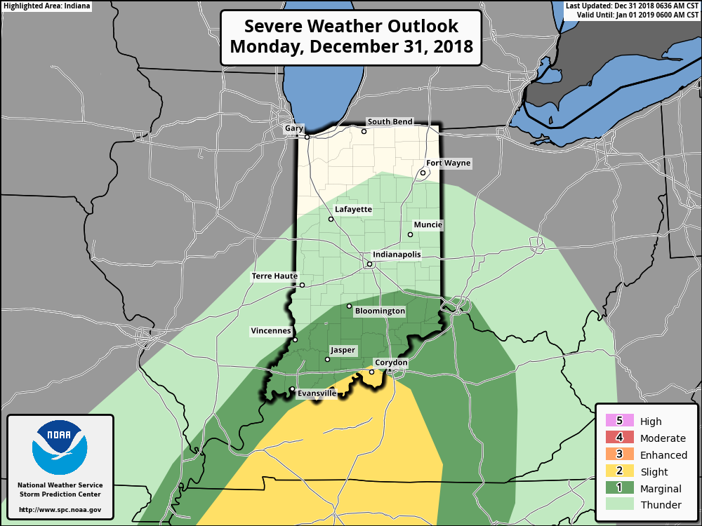
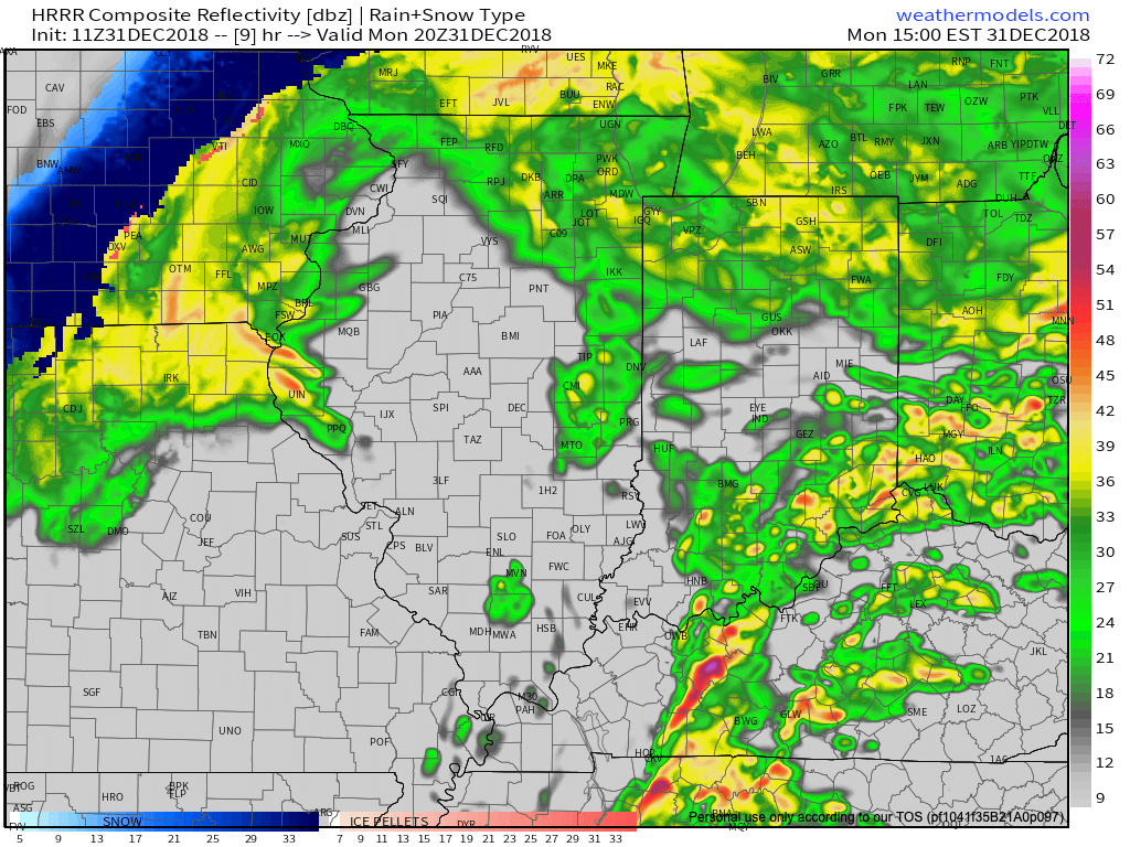
 We’re also still monitoring the potential of strong to severe thunderstorms across southern portions of the state. The Storm Prediction Center now includes far southern Indiana in a Slight Risk for severe weather today. The primary concerns remain strong, damaging winds with a line of thunderstorms that may develop between 2p and 4p. If your travels take you south towards Louisville today remain weather-aware.
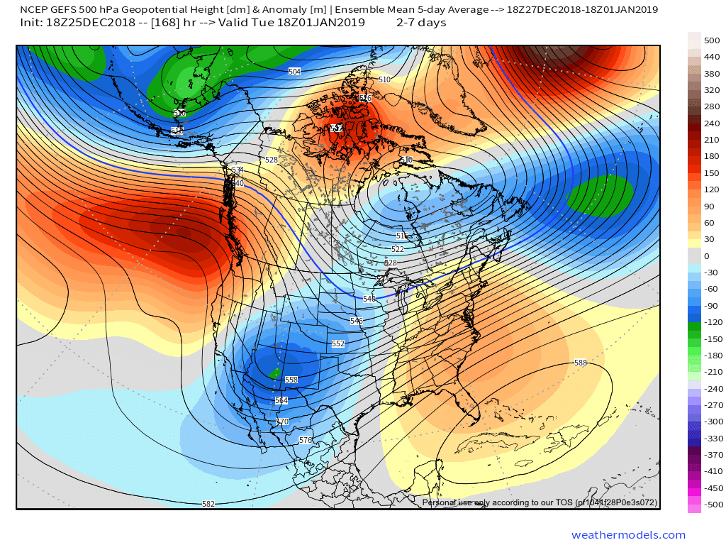
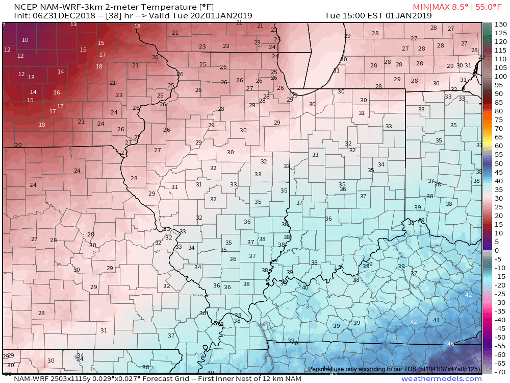
 Temperatures will run 25° to 30° colder New Year’s Day and a couple of scattered snow showers may fly- especially across the favored snowbelt areas to our north.
 Have a happy and safe New Year’s Eve, friends!
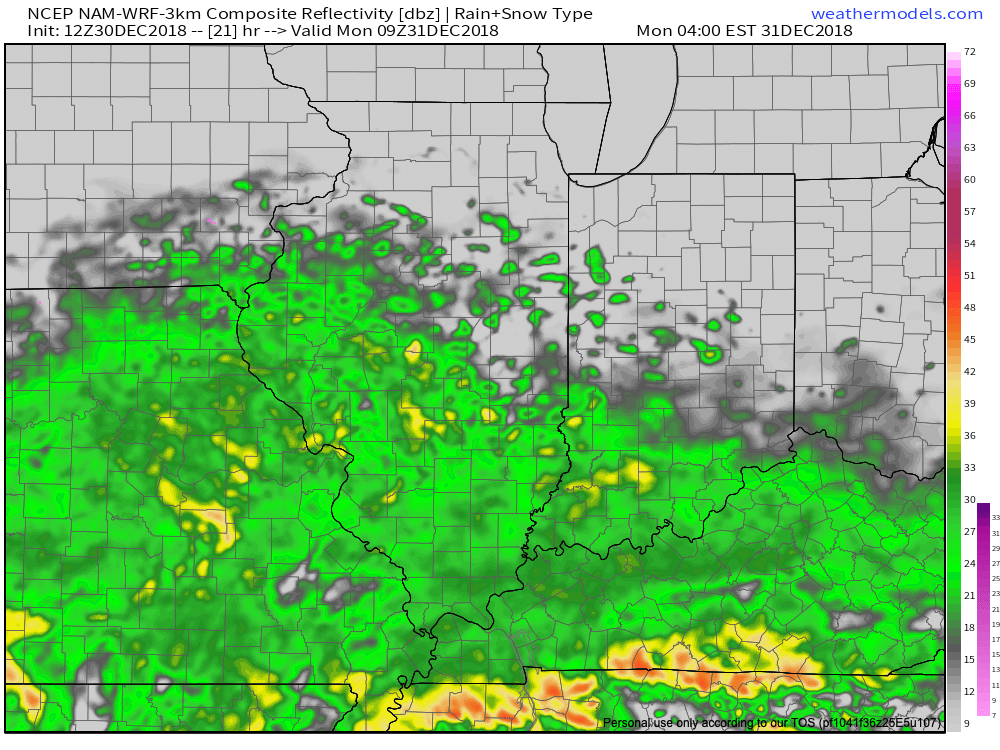

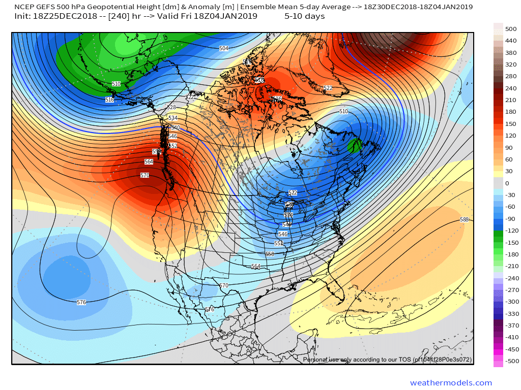
 Colder air will whip in here late tomorrow night and help lingering moisture fall as scattered snow showers New Year’s Day. More later on the potential of wintry “mischief” later in the week…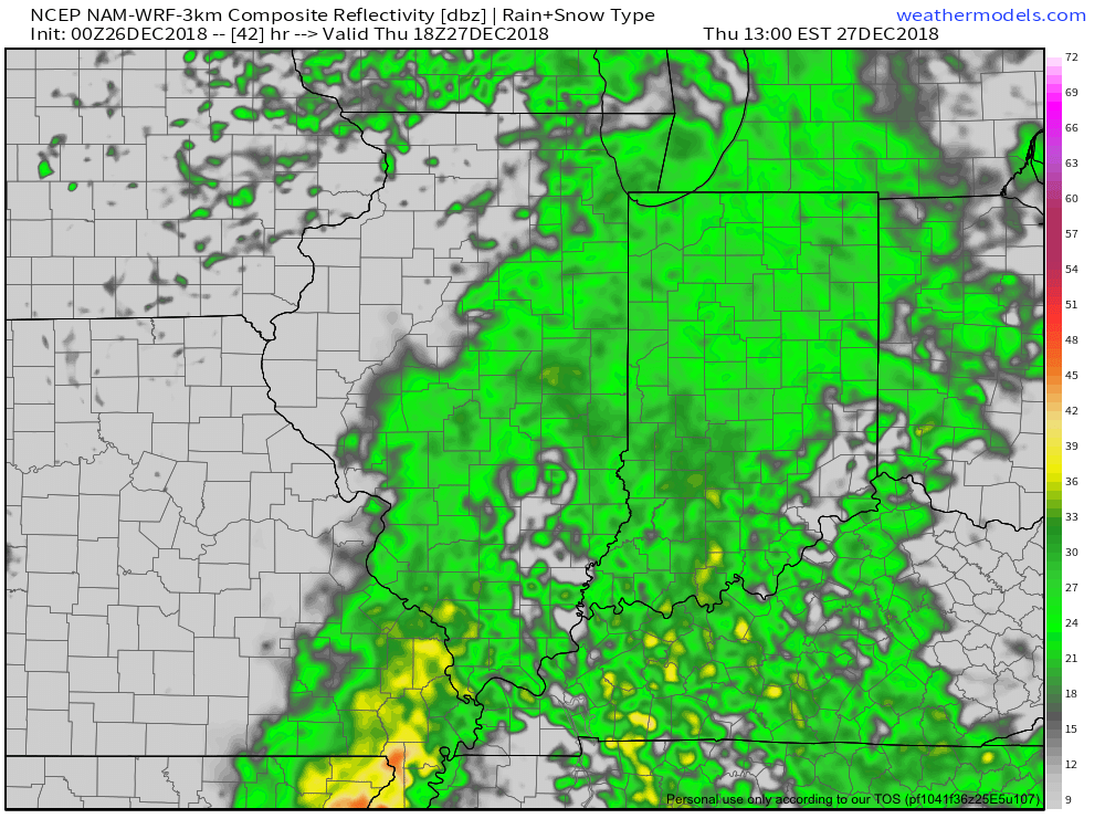

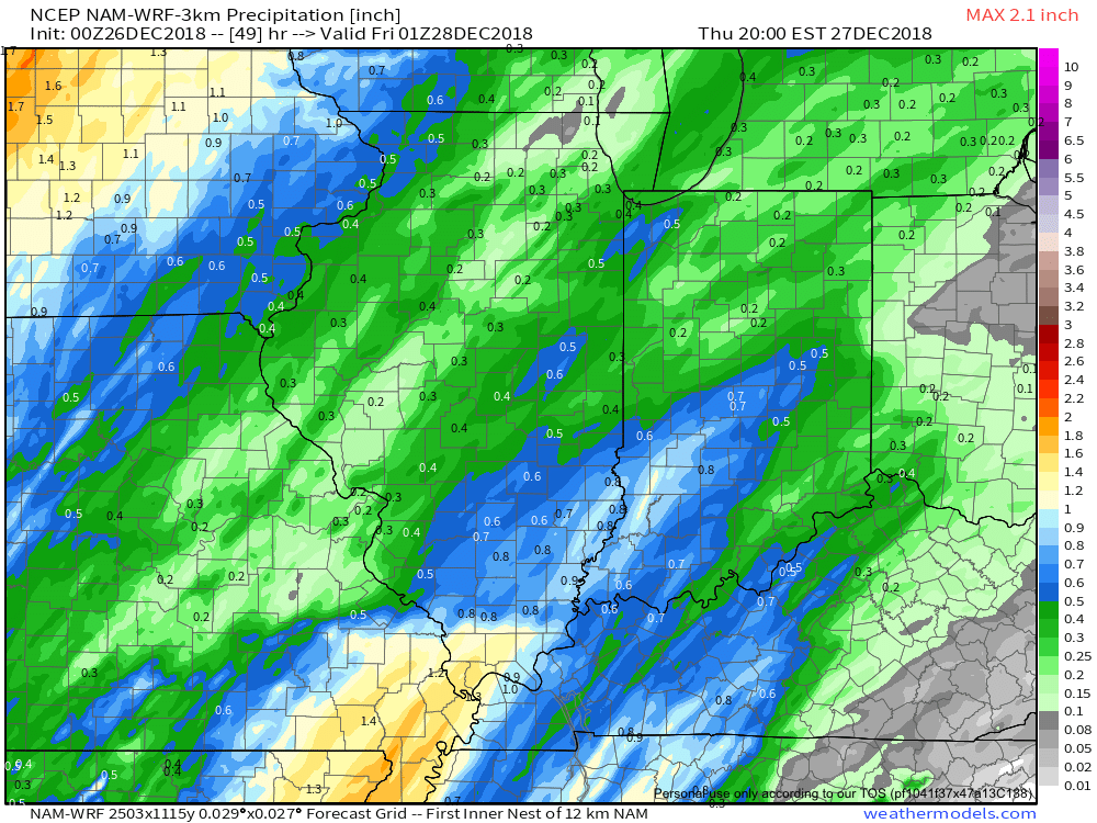 Most of the concentrated rain should come to an end around dark Thursday. By that time we forecast a general 1/2″ to 1″ to fall in area rain gauges.