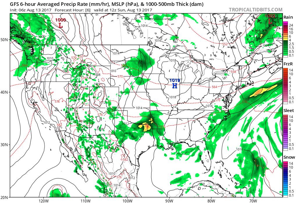
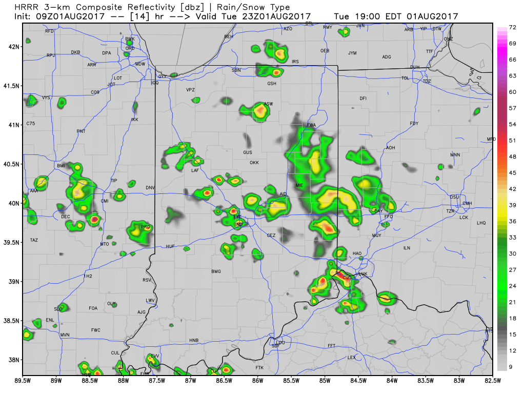
I. A cold front will move across the state this evening. Ahead of the front, a warm and moist air mass will remain in place and the frontal boundary will serve as a “trigger” to ignite scattered to numerous showers and thunderstorms, especially this afternoon and evening. While widespread, uniform rains aren’t anticipated, a couple of strong storms and localized downpours will develop ahead of the front.
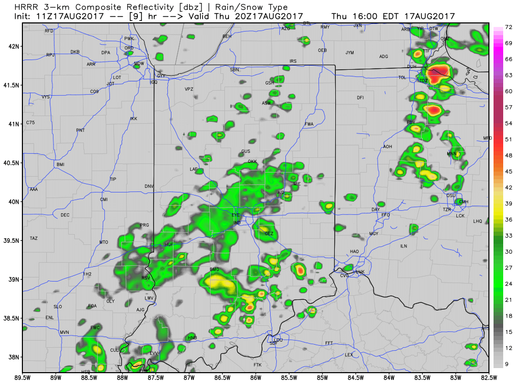
Scattered t-storms will impact the state today.
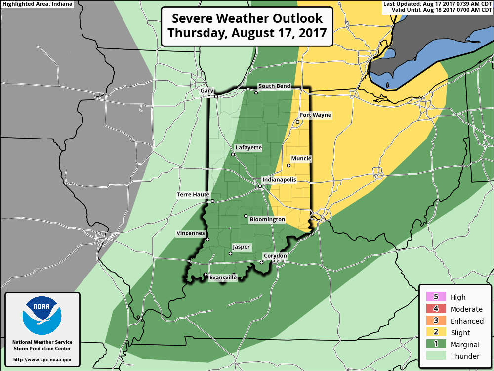
Eastern IN is included in a Slight Risk of severe weather this afternoon.
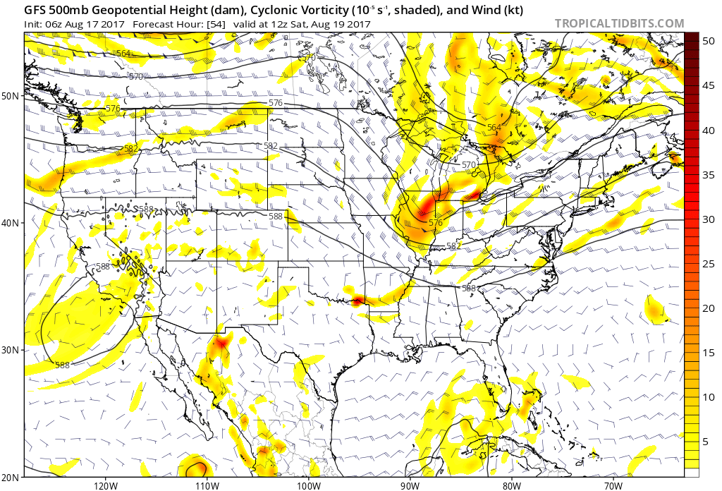
II. After a drier close to the work week (less humid, as well), an upper level disturbance will race across the Ohio Valley Saturday. This will provide enough lift to generate scattered showers and thunderstorms across the region, but all day rains won’t occur.
 III. Ridging will return early next week and, though brief, a shot of late-summer heat will eject northeast across the Mid West and Ohio Valley. Sunday through Tuesday will feature temperatures that top out in the upper 80s to around 90°.
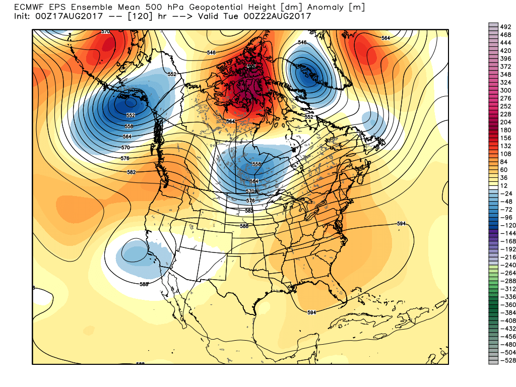 IV. A cold front will drop in by the middle of next week. Scattered showers and thunderstorms will accompany the frontal boundary, but the bigger story will be a dramatic change to a much cooler regime as we get set to put a wrap on the month of August. In fact, temperatures may grow cool enough to allow some 40s to develop across central and northern parts of the state at night. Meteorological summer sure looks like it’ll end with more of a fall-like feel…
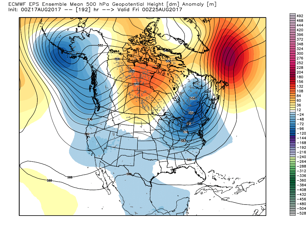

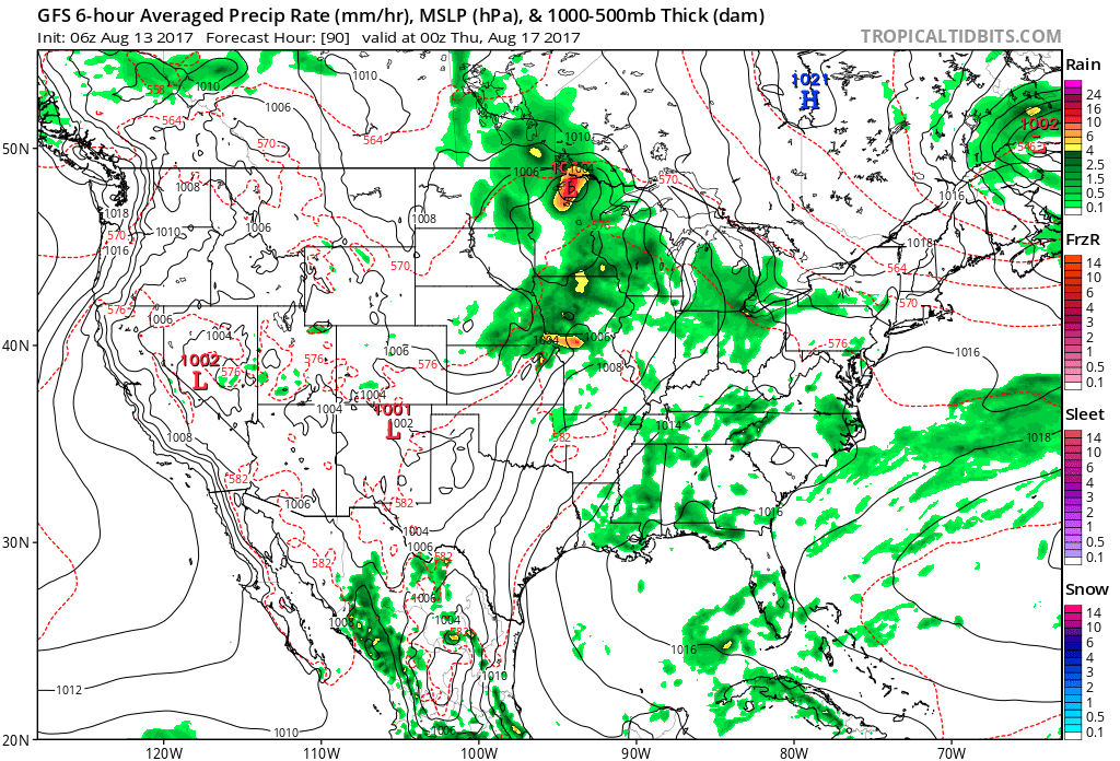
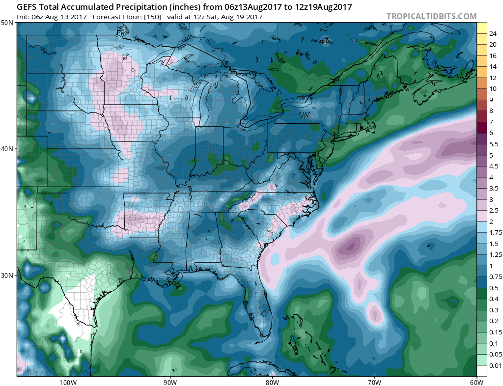 As of now, we think the cold front will pass Friday evening and set-up another pleasant weekend with seasonable temperatures. The stretch of gorgeous August weekends’ appears to roll along.
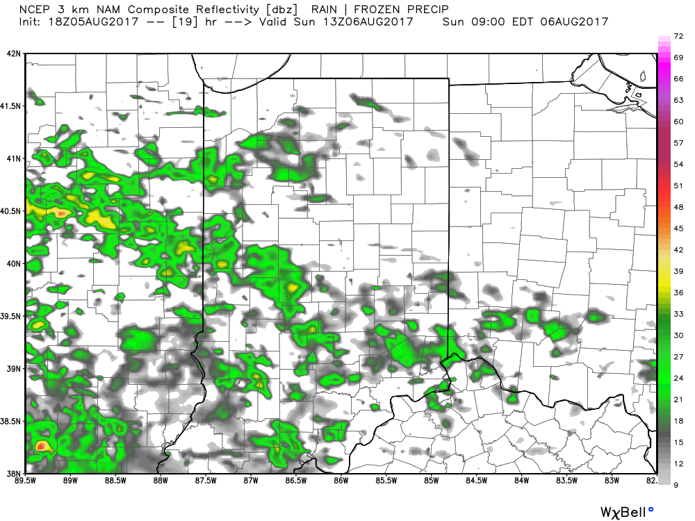 As we progress into the afternoon and evening hours, showers will expand in coverage and intensity to more of a widespread, uniform type rain event. A good ole-fashioned soaking appears to be in the works Sunday afternoon-evening.
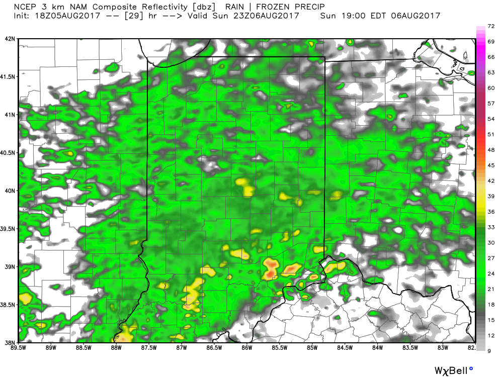 When you factor in an already established unseasonably cool pattern with our approaching rain event then you have the makings for another early October-like feel Sunday that will feature temperatures struggling to make it out of the 60s for highs.
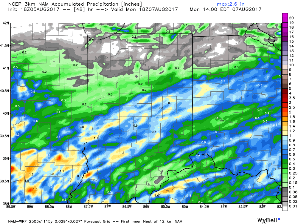
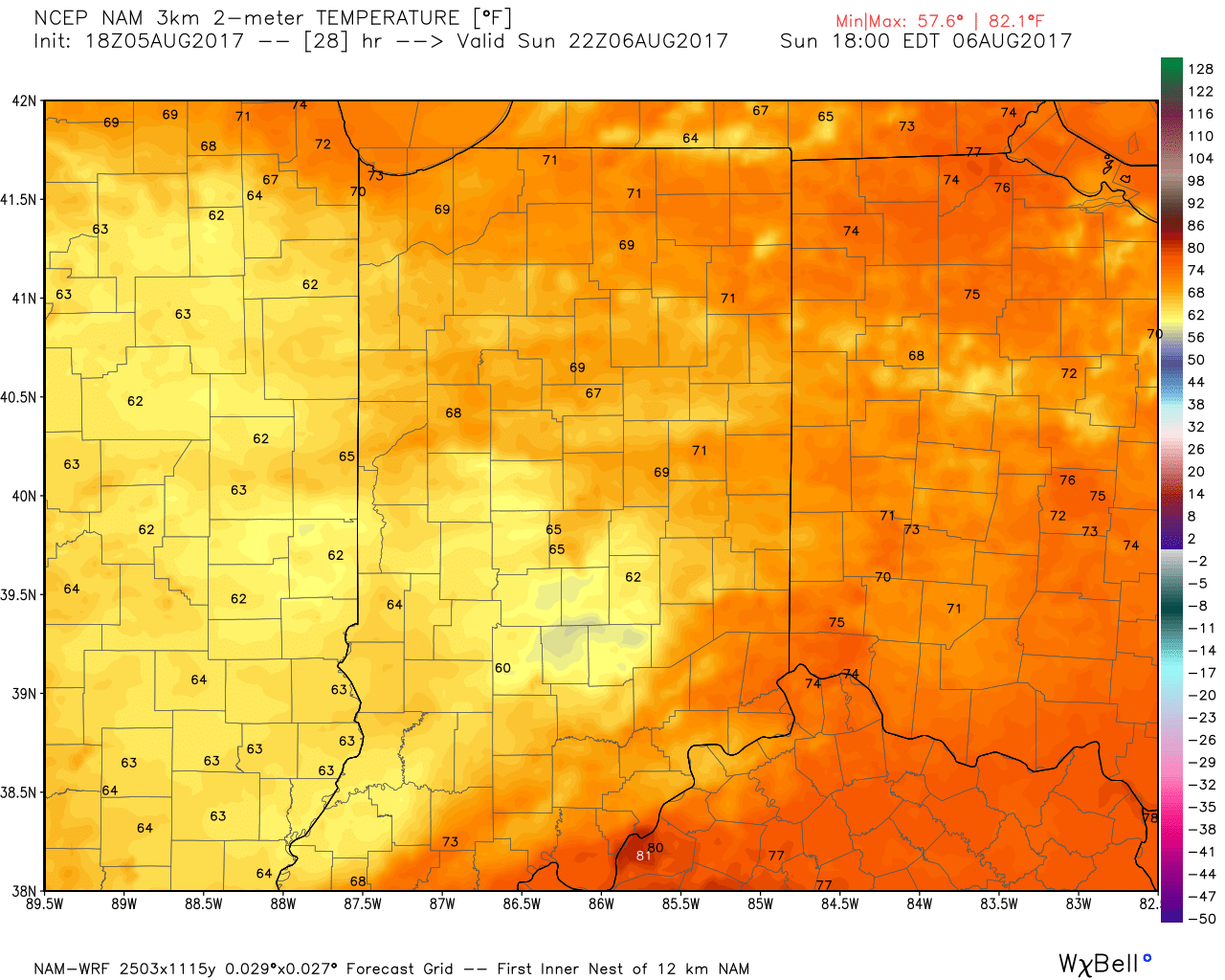 By the time the rain comes to an end Monday morning we think most central IN gauges can expect to pick up 0.75″ – 1″ of rain, but there will be locally heavier amounts under any thunderstorm that develops. Drier weather will return Monday afternoon and continue through the middle of next week.
 .
.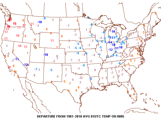 As we look ahead, Saturday is certainly the pick of the weekend. Mixed clouds and sun will be with us for the balance of the day before we turn increasingly overcast late. While temperatures will remain significantly below normal, it’ll be a very refreshing day and feel more like early-September (mid-upper 70s).
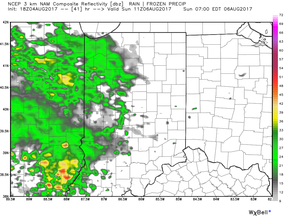
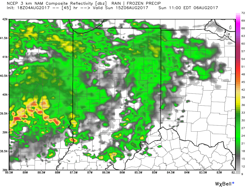
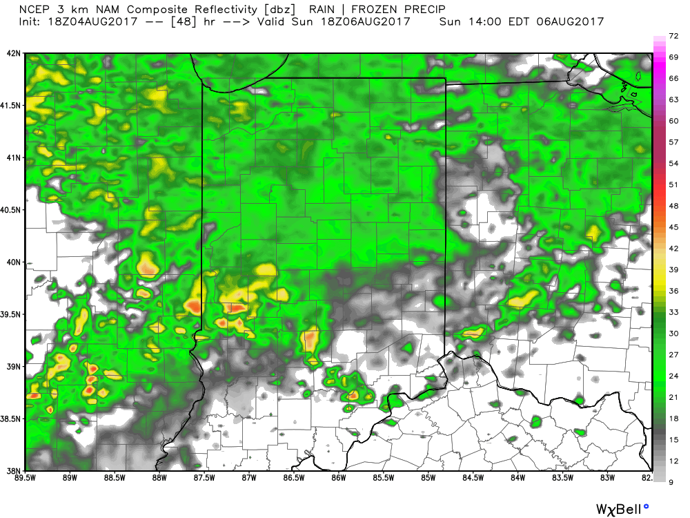 Unsettled weather will continue into early Monday across the state. By the time all is said and done, rainfall totals of 1″-1.5″ can be expected, including locally heavier amounts where thunderstorms develop. Additionally, with the clouds and wet weather Sunday, temperatures will likely remain in the 60s most of the day.
 Rain and storm chances will increase once again during the second half of next week as our next storm system approaches. While we’ll moderate back to seasonal levels late-week, data suggests another blast of refreshing air will blow into town next weekend. It’s far too early to signal “summer over,” but the early blasts of fall-like air do have to “raise an eyebrow” for what autumn may provide the region. We’re in the camp of believing central IN is in position for earlier than normal frost risks… Much more on that later.
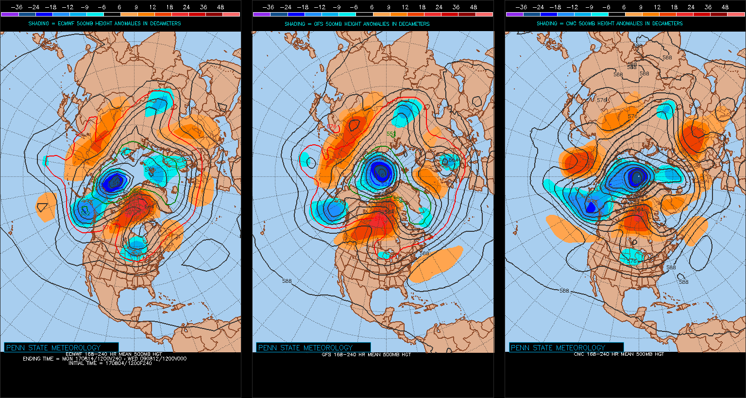
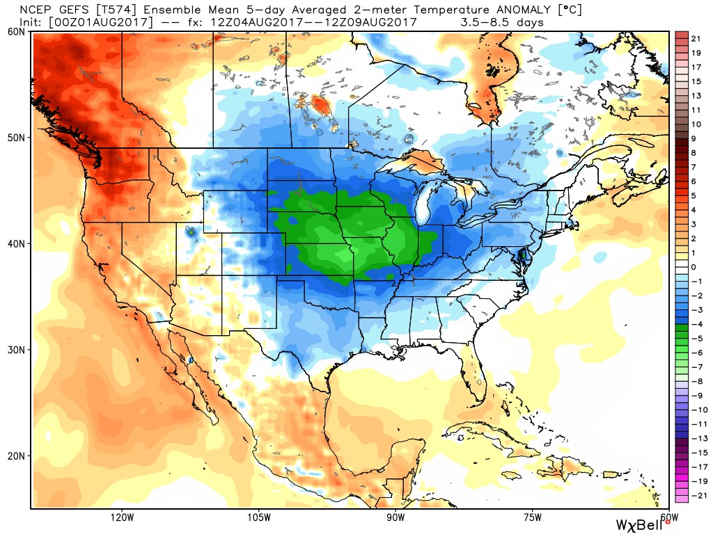
 4.) As surface low pressure wraps up over the Great Lakes Friday, it’ll help pull unseasonably cool air south into the state, along with gusty northwest winds. In fact, temperatures will remain steady or slowly fall as we move through the day Friday. It sure won’t feel like the first weekend of August as temperatures tumble into the 50s area-wide Saturday morning.