Updated 05.05.24 @ 8a The weekend should end on a dry note. Though an isolated storm is possible today, “isolated” is the key word and not even worth including in…
You must be logged in to view this content. Click Here to become a member of IndyWX.com for full access. Already a member of IndyWx.com All-Access? Log-in here.
Updated 05.04.24 @ 9:33a Though we can’t completely rule out the threat of an isolated storm this weekend, the lions share of the next couple of days will be rain-free…
You must be logged in to view this content. Click Here to become a member of IndyWX.com for full access. Already a member of IndyWx.com All-Access? Log-in here.
Updated 05.03.24 @ 7:40a Scattered showers will continue to push out of the area this morning and we should get back to plenty of dry time this afternoon. While we…
You must be logged in to view this content. Click Here to become a member of IndyWX.com for full access. Already a member of IndyWx.com All-Access? Log-in here.
A very pleasant day is in store for the region, complete with plenty of sunshine. Enjoy as we’re heading into yet another unsettled and wet pattern over the weekend and into the new week ahead…
Welcome to May! The average high climbs from 70° to open the month into the upper 70s by month’s end. Average lows move from 48° to 58° by the end of May. We average 4.75” of rain.
As we navigate the first couple days of the month, isolated to widely scattered storms are possible but today and tomorrow will feature much more dry time than wet/ stormy.
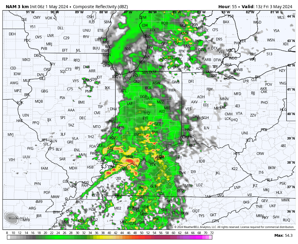
More widespread rain and storms move into town as we close out the work week- especially centered on the first half of our Friday.
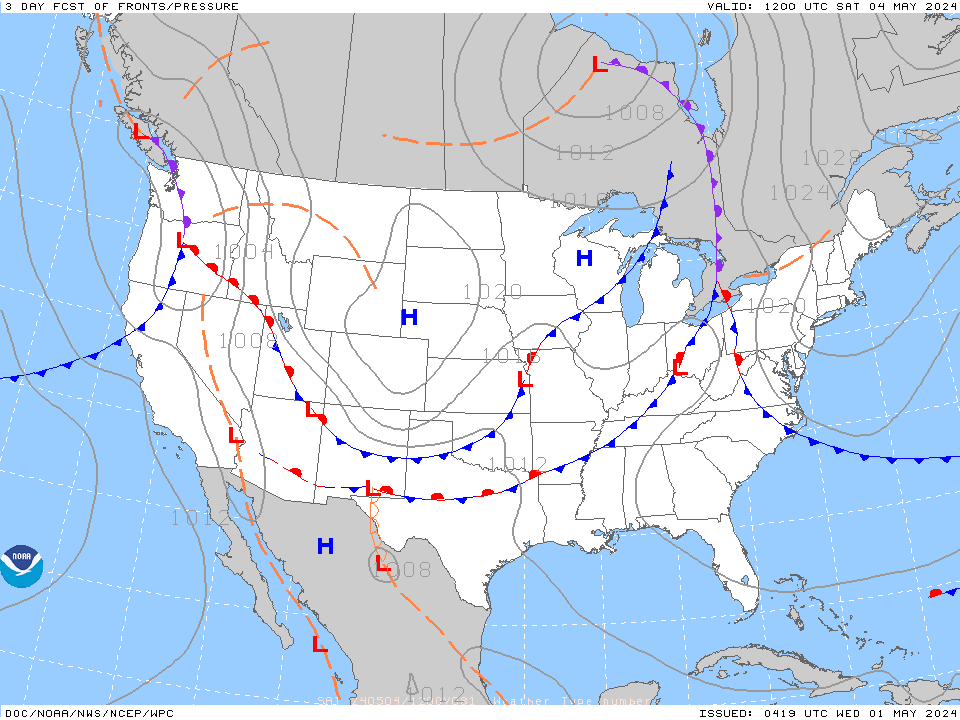
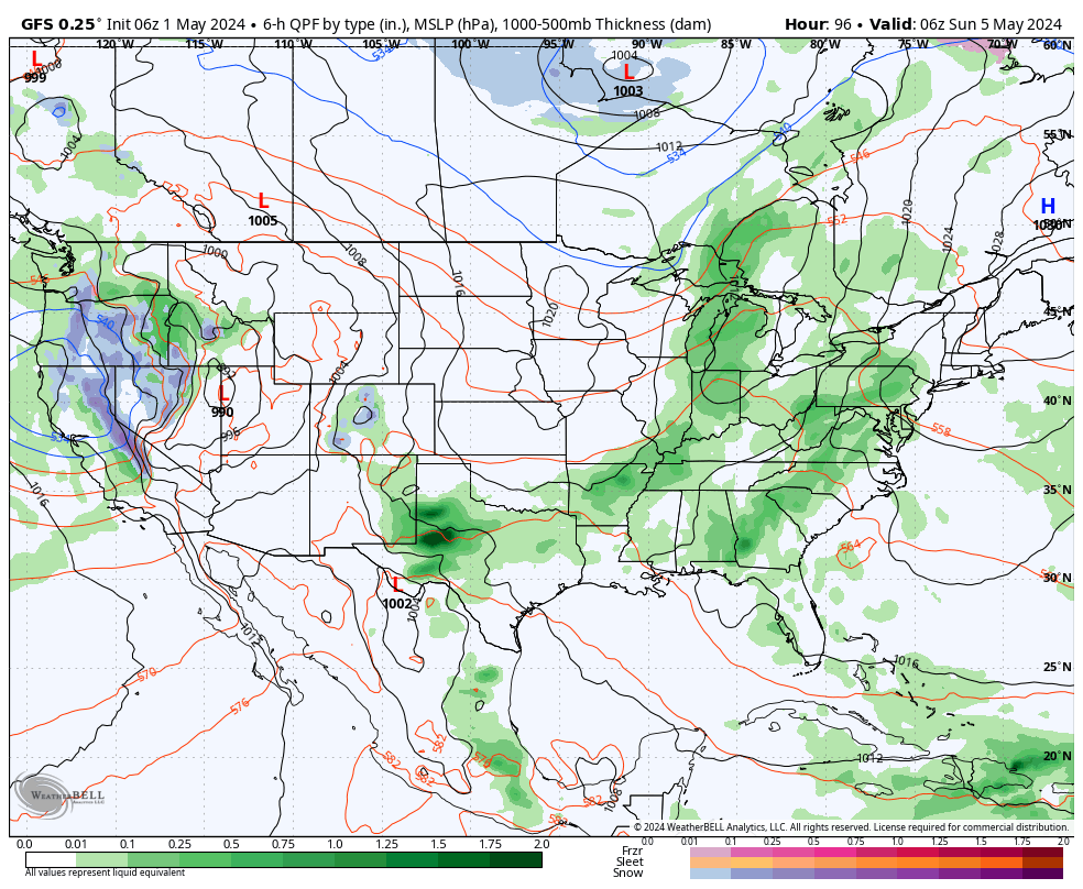
Additional storm clusters are possible over the weekend as the area will remain located between a couple of weak boundaries.
Like today and Thursday, there will be more dry time this weekend than stormy. Highs will top out in the upper 70s and lower 80s.
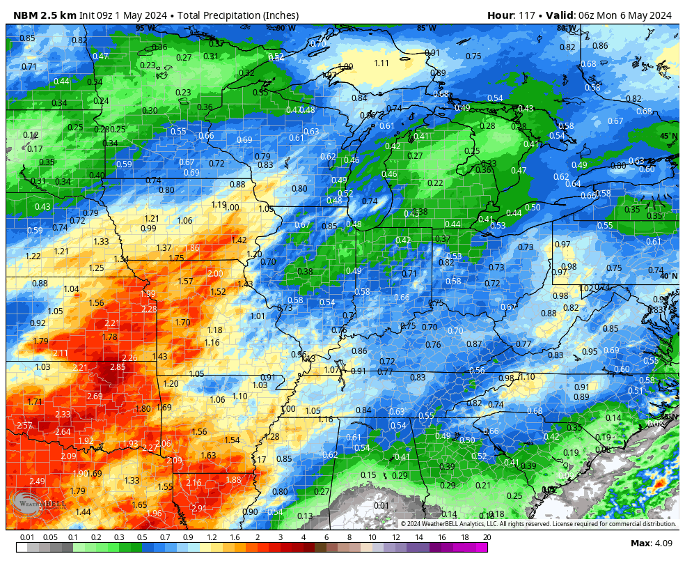
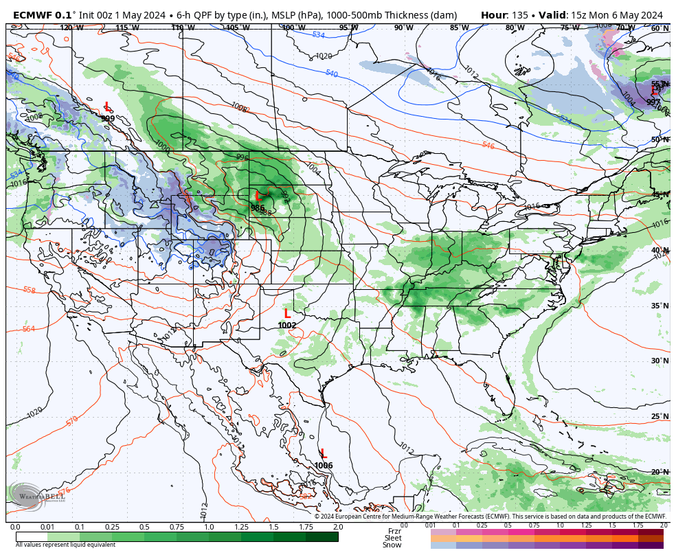
A warm and increasingly humid airmass will take hold early next week with widespread heavier rainfall Monday through Wednesday.
Next week appears to offer up a regime change. While we open unsettled and muggy, a more stable and overall cooler (slightly so compared to normal) pattern will develop around a week from today…