Category: European Model

No Secret Behind The Early Bitter Shots Of Air

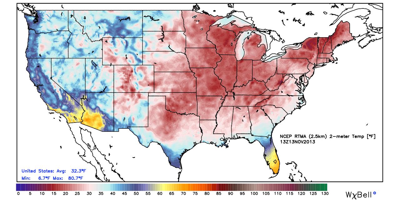
As I write this, many Hoosiers are awaking to temperatures at downright bitter levels, despite the fact it’s only mid November.  The official low here at IndyWx.com HQ was a frosty 18 degrees and a far cry from the normal low of 37.

The early season bitter air mass has even settled in across portions of the Deep South and Coastal Plain.  Amazingly, snow was reported along the Carolina coastline last night (almost unheard of for mid November). Note the deep freeze penetrating far into the Deep South.  My home town of Auburn, AL dipped to a frigid 27 degrees this morning.  Again, very rare for so early in the season.

rtma_conus

It’s my job to look at what is behind these expansive early season bitter attacks of air (by the way, another bitterly cold air mass is ahead next week).  In my opinion, a lot of the early shots of impressive arctic air has to do with the widespread early snow and ice pack developing across the Northern Hemisphere.  We wrote about this first back on October 17th and the snow and ice pack has only been growing since.  The latest image shows a very impressive and vast snow and ice pack for so early in the season.  As early season cold moves south into the Lower 48, it doesn’t have much time to modify as it passes over the growing early season snow pack.

cursnow


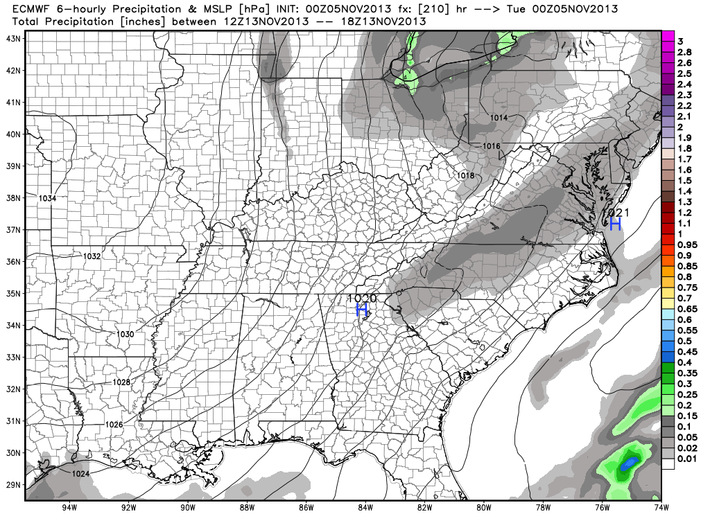
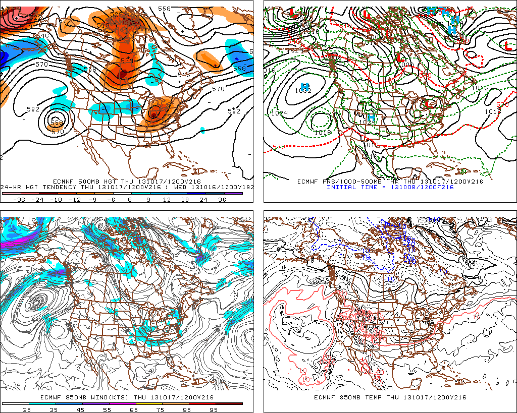
As we look ahead, despite the weekend warm-up, another impressive shot of arctic air will plow into the Hoosier state early next week (perhaps even colder than this current air mass).  The European forecast model, once again, shows temperatures 12-18 degrees below normal by early next week.

ecmwf_t2min_a_f_east_31

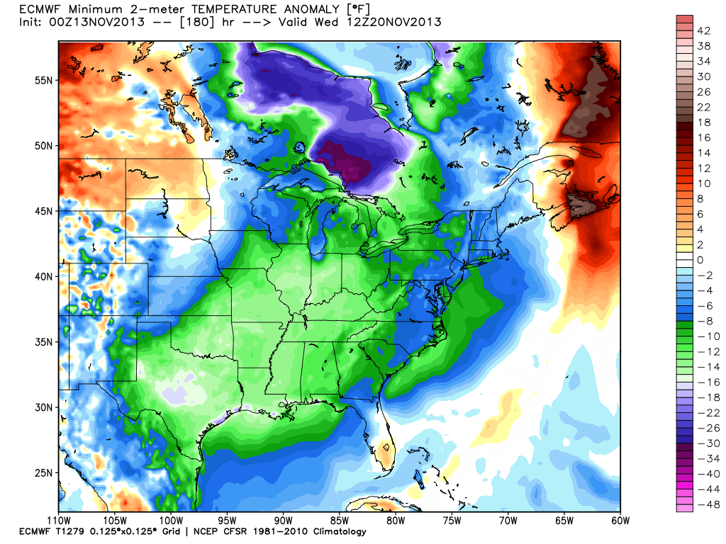
Temperatures currently are running well below normal in similar areas modeling is sticking the “heart” of the cold next week.

t0

As we continue rumbling into the colder, snowier months ahead, one has to at least wonder what the overall impact of the early season expansive snow and ice cover during October and November will leave on the winter of 2013-2014…

Permanent link to this article: https://indywx.com/no-secret-behind-the-early-bitter-shots-of-air/

Two Totally Different Solutions For Next Week!

I wanted to quickly post on two totally different scenarios for next week.  Two of the more powerful forecast models we use to look into the mid-long range are in separate worlds when it comes to the weather pattern the middle to latter part of next week.

Here’s a look at the GFS upper air pattern:

gfs_z500_sig_east_38

Note the eastern ridging which would lead to well above normal temperatures during the middle to latter part of next week (by as much as 10 degrees above average), along with dry conditions.

HOWEVER, here’s a look at the European’s forecast upper air pattern late next week:

ecm_z500_anom_east_11

This would certainly be quite the significant storm for the Northeast, but the implications here are vastly different from that which the GFS shows above.  Instead of warmth and dry conditions, we’d deal with highs in the middle 30s and overnight lows in the lower to middle 20s.  Additionally, we’d also “enjoy” (okay, some folks would “enjoy”) snow showers and snow squalls the middle to latter portion of next week, as noted per the European below, including a lake Michigan connection.

ecmwf_slp_precip_ky_36


Needless to say, we have a lot to sort out in the coming days.  We’ll be here to do just that.  Make it a great Tuesday!

Permanent link to this article: https://indywx.com/two-totally-different-solutions-for-next-week/

Change On The Horizon…

So far, October 2013 is running well above normal in the temperature department: As shown above, the lower lakes and Ohio valley region has been the target for the biggest…

You must be logged in to view this content. Click Here to become a member of IndyWX.com for full access.  Already a member of IndyWx.com All-Access?  Log-in here.

Permanent link to this article: https://indywx.com/change-on-the-horizon/

Friday Forecast: Busier Times Ahead In The Good Ole Forecast Office!

Updated 10.11.13 @ 6:45a

Zionsville, IN I, like many of you, make sure to enjoy the last of the warm, sunny weather this time of year.  As veteran Hoosiers know, the months ahead present a cloudy, bitterly cold, and windy time of things.  Thankfully, we have another gorgeous day lined up to close the work week.  We discuss this and busier times ahead below!

Status-weather-clouds-iconFriday: Partly cloudy; 48/ 76

It’s only fitting that we close out the work week with the same type of weather we’ve enjoyed all week long- a cool start followed by beautiful weather conditions through the afternoon.  Get outside and spend some time soaking up the sunshine!

Status-weather-showers-day-iconSaturday: Mostly cloudy; scattered evening/ nighttime shower; 0.10″ or less; 50/ 76

Most of your daytime Saturday will provide pleasant weather to get some of those last minute chores taken care of.  We’ll notice an increase in our cloud cover followed by a broken line of showers (perhaps a rumble of thunder) rolling through the state from west to east.  We’re not looking at significant rainfall with this system.  In fact, we think most communities pick up less than one tenth of an inch of rain (if that).

Status-weather-clouds-iconSunday: Partly cloudy; 55/ 70 

While some of our extreme eastern counties may see an AM shower Sunday, most of the day will be rain-free and feature increasing sunshine.  It’ll be another pleasant day for outdoor activities.


Status-weather-clouds-iconMonday:  Partly cloudy; 45/ 69

High pressure and an associated northerly air flow will dominate our weather to begin the new work week. North breezes may gust upwards of 15 MPH Monday and this will help keep us cooler than the weekend. We’ll start the day quite chilly (middle 40s for most) before warming into the upper 60s.

Status-weather-showers-day-iconTuesday: Increasing cloudiness, PM shower; 0.10″; 54/ 73

While we have some timing issues to work out as we draw closer to the event (GFS is more progressive whereas the ECMWF is slower), we’ll go ahead and introduce shower chances to your forecast as early as Tuesday evening. Stay tuned as we fine tune things.

Status-weather-showers-scattered-iconWednesday: Rain; 0.50″; 49/ 64

As of now, we see a cold front moving through the region Wednesday. Ahead of the front, showers and possibly a thunderstorm will blow through the region.  Our winds will shift to the northwest Wednesday night/ Thursday, helping drive the coldest air so far this season into the Hoosier state Wednesday night and Thursday.

Status-weather-showers-scattered-iconThursday:  Rain; 0.50″; 44/ 57

Again, as we posted above, timing is everything with our mid to late week cold front.  Overnight model data places a heavier corridor of rain through central Indiana mid week- potentially as much as 1″-1.25″ over the two day period.

We also want to continue pointing out that with the PNA shifting back into the  positive, the stage is set for chilly air to hang around the region with more “staying power” as we move through October’s second half.  We’ve covered this in posts below and will continue to go over things as we move forward…  It’s time to certainly pull out those coats! 🙂

Permanent link to this article: https://indywx.com/friday-forecast-busier-times-ahead-in-the-good-ole-forecast-office/

Wednesday Evening Forecast Update


Forecast models continue to hint at the potential of our next significant storm system slated for a mid month arrival.  Latest data, hot off the press, remains in general agreement on the way things evolve, but details on timing and any heavy rain/ severe threat will have to be fine tuned as we move forward.

f216

gfs_namer_192_500_vort_ht_s

Permanent link to this article: https://indywx.com/wednesday-evening-forecast-update/