These Aren’t Any Ordinary Dog Days…
Mid July through early August typically represents the greatest stretch of “lazy,” (yes, even in the meteorological community we can usually bank on a little down time this time of year) hazy, hot, and humid days throughout central Indiana. Average highs are in the middle 80s with average lows in the middle 60s. Finally, for the most part, organized storm systems of the spring and early summer are not as frequent as thoughts begin to shift to the busier, colder times ahead of fall and the upcoming winter. That’s certainly not been the case this year. And, as we look ahead, busy times will continue as we wrap up July and head into August- biased continued cooler than normal.
Let’s take a look at July so far. Through the 17th, we’re running significantly cooler than normal:

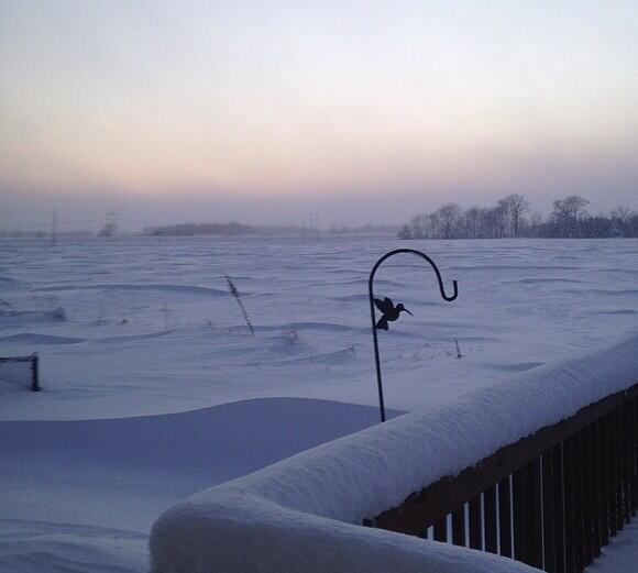
While the current chilly spell (labeled as “Autumn in July”) begins to give way to warmer, muggier times ahead, our sights are already looking ahead to the next round of cooler than normal air towards late next week.
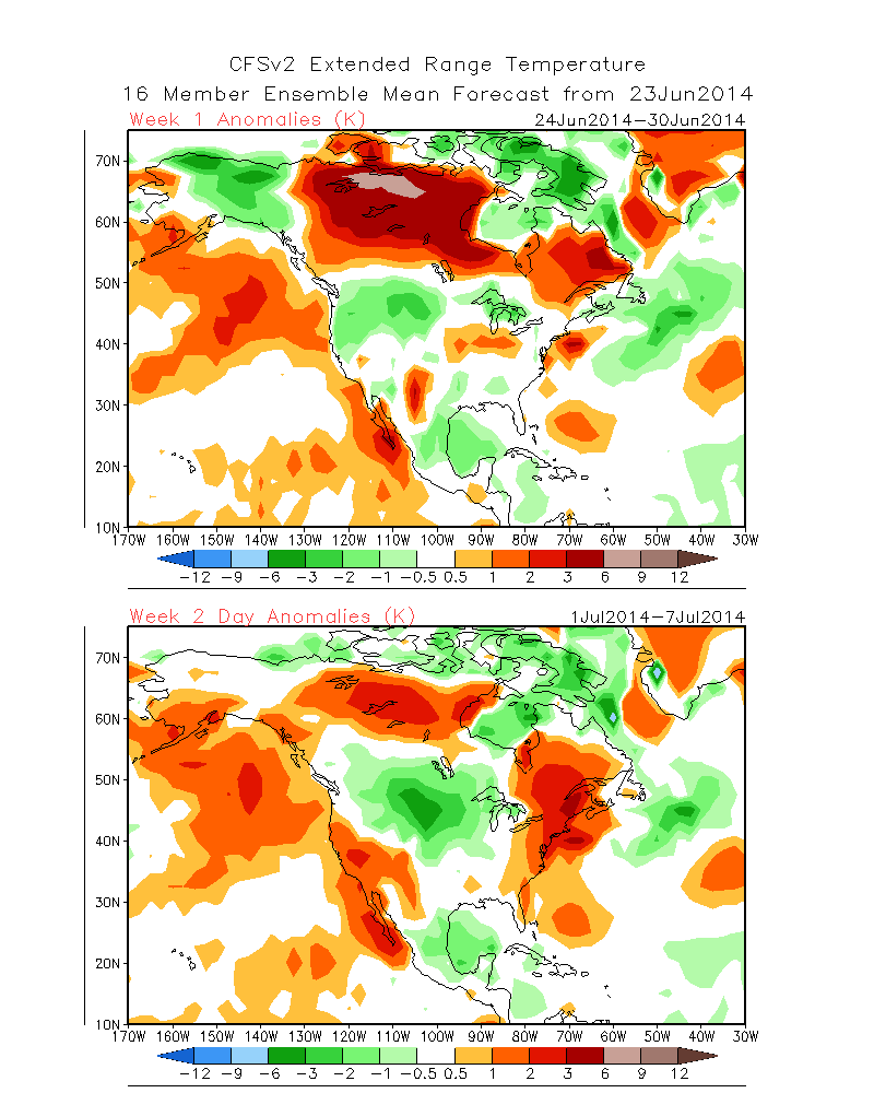
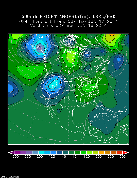
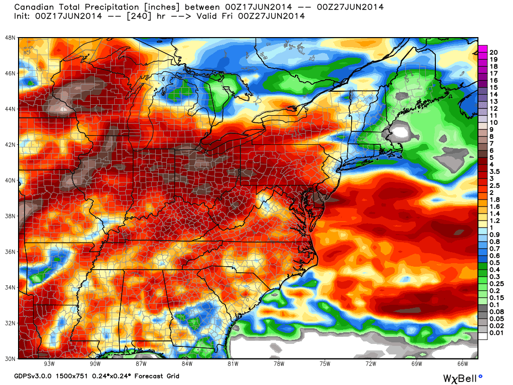
Before we get into that, let’s take a look at some of the short range model data. Most of this data agrees a significant ridge of high pressure, and associated heat dome, will take up residence across the western half of the country. Initially we’ll see “fingers” of heat attempt to come northeast, but we caution these hot attempts will likely be thwarted from becoming what they otherwise would be. While it’s possible a 90 degree day could come out of this next week, we still see no reason to believe any sort of prolonged heat is in our future. Additionally, we’ll have to keep abreast of potential thunderstorm complexes moving southeast in what can be a challenging northwest flow pattern next week. As it stands now, best rain chances will arrive Wednesday.
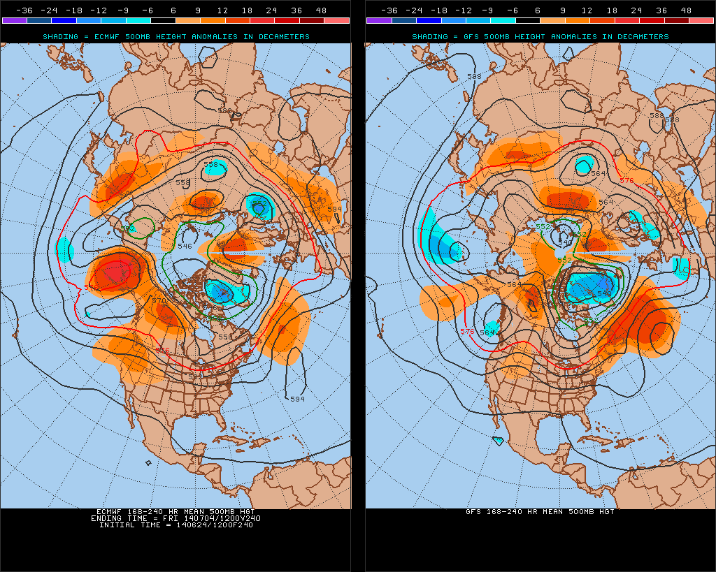
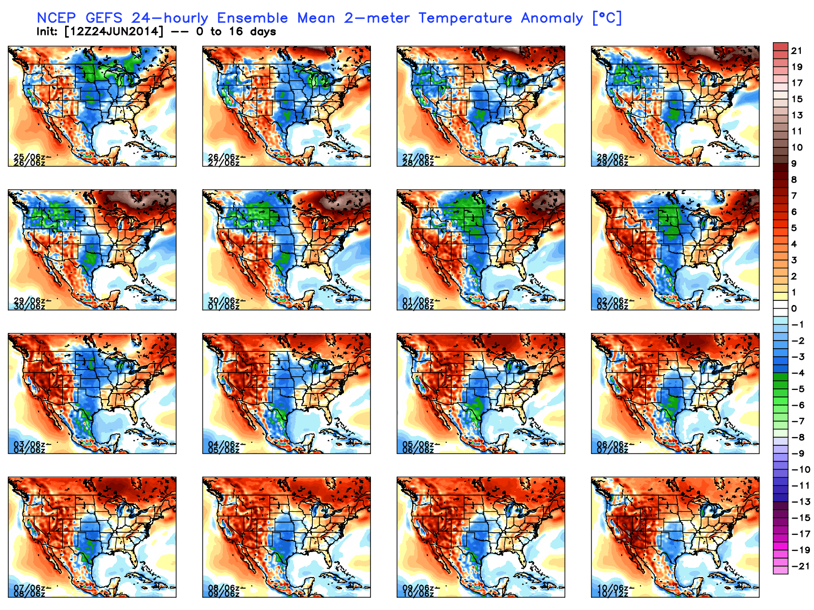
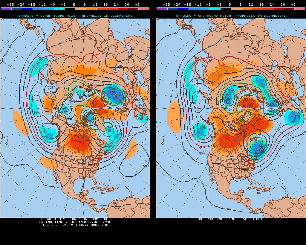
Note how the GFS and European ensemble data is in agreement on the developing significant ridge central and west.
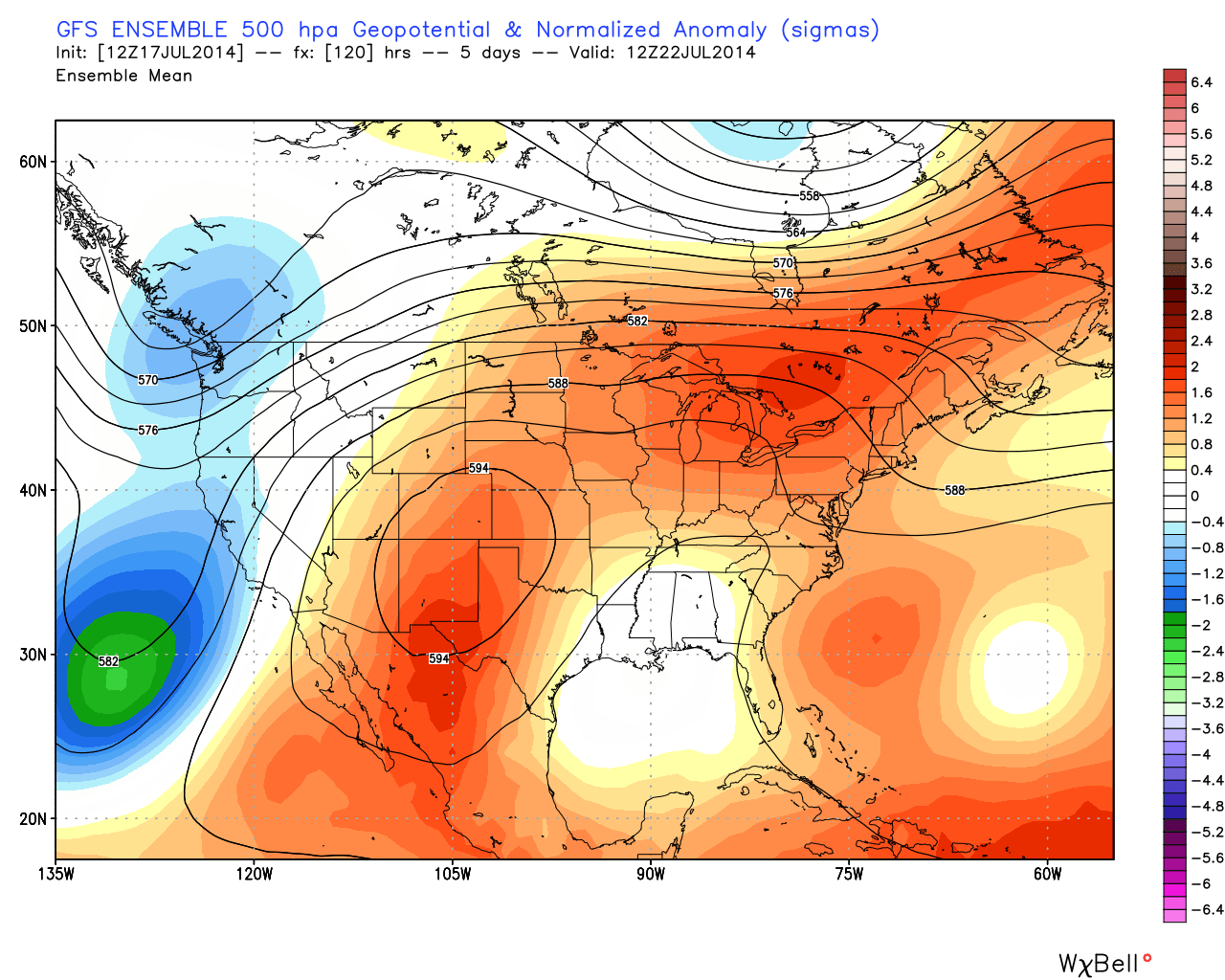
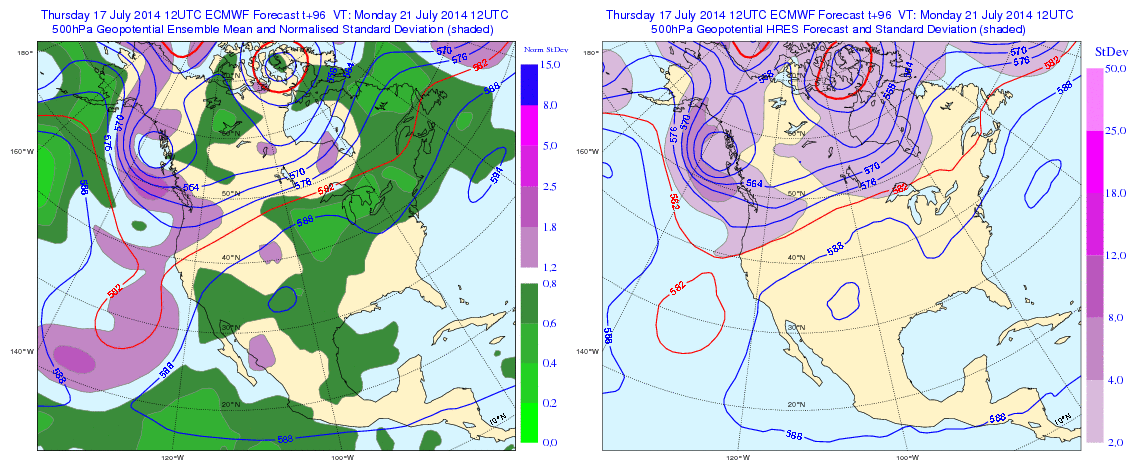
This will aid in moderating temperatures back to where we would normally expect them this time of year along with plenty of humidity. That said, the hottest air associated with this pattern will remain to our west. As stated above, we’ll have to keep an eye out for potential “surprise” thunderstorm complexes riding the periphery of the hot dome.
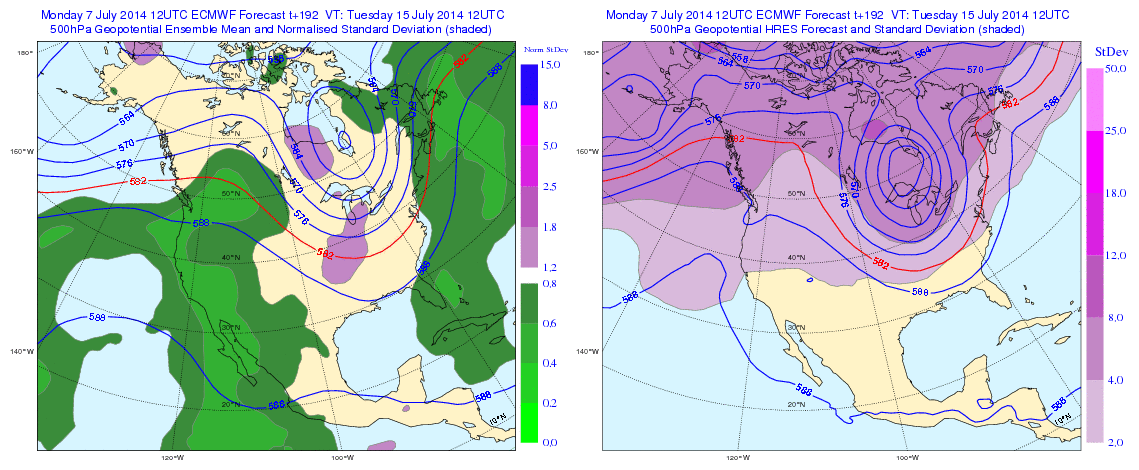
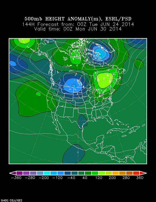
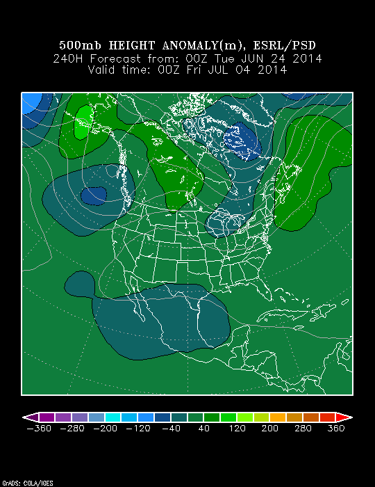
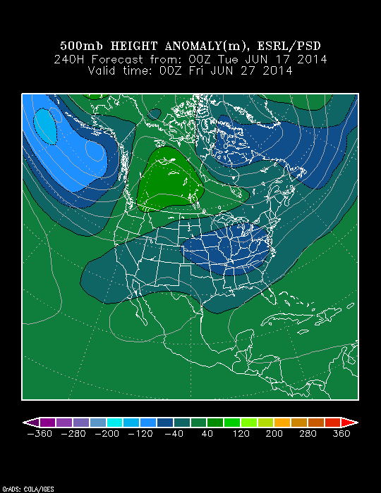
After a cold front provides increased shower and thunderstorm chances mid to late week, model data is keying on yet another unseasonably cool push and associated trough by Day 10.


The Canadian NAEFS also sees the developing late July cool.

Moral of this story is that while we’ll warm back to normal levels over the weekend into next week, overall model agreement leads to a higher than normal confidence in the mid to long range of a developing cool pattern yet again. We’ll have to handle rain and storm chances on a more short-term basis. Needless to say, these are no ordinary “dog days…” Much more later!