We wanted to take a quick opportunity to discuss the weekend snow threat. While certainly on the table, it’s far from etched in stone. We note the models doing their usual “herky-jerky” moves 5-6 days out. At the end of the day, there’s a notable threat present, but we prefer to watch things unfold over the next few days before beginning to get too excited.
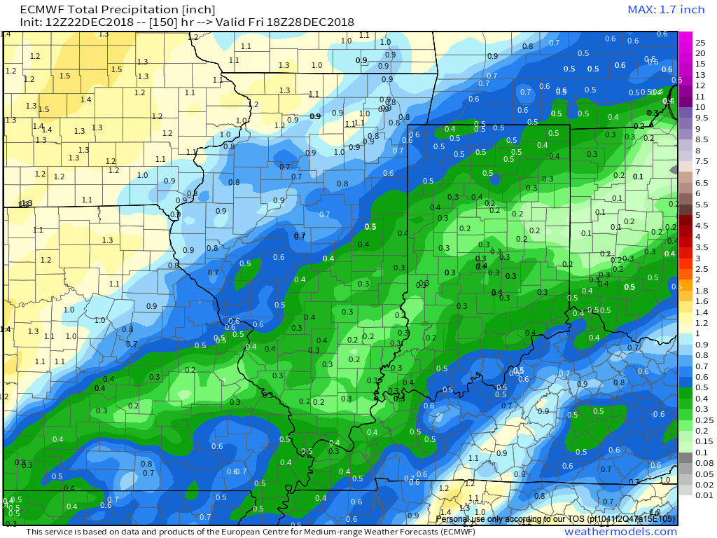
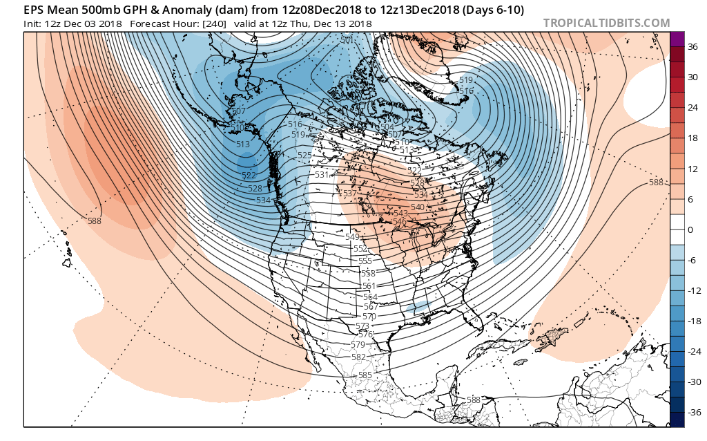
Subtle differences between the European model (image 1) and GFS (image 2) are seen in the handling of the 500mb pattern. The GFS is quicker to phase the upper energy and leads to a more robust system. The European isn’t nearly as excited and instead dampens the energy coming east. These seemingly minute differences can make all the difference when it comes to the sensible weather that may (or may not) impact your weekend plans. If the European is correct, this is a rather non-event, locally. However, should the GFS idea be correct, this will be a widespread Ohio Valley snow event that’ll require gassing up the snow plows…

The European model weakens the energy coming east needed to fuel a more substantial storm Friday into Saturday.

The GFS model bundles the upper energy and phases things- leading to a more significant wintry threat by Saturday.
Stay tuned as we’re still a few days out from having confidence needed to begin to sound the alarm. 😉
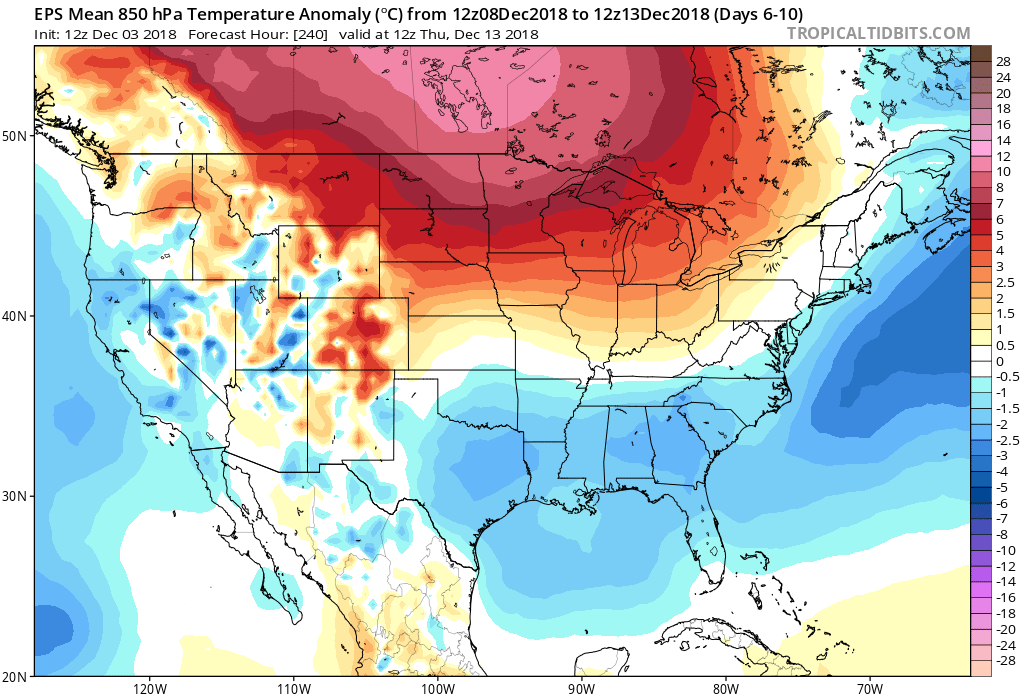
In the longer range, tonight’s data continues to head in the direction where winter will make up for lost time to close January and head on into February. Delayed, but not denied…

 II. A much stronger storm system will wrap up to our northwest Wednesday night and Thursday. We’ll notice an increasingly strong southerly breeze during this time period and rain will be on the increase as we progress through the day Thursday. The trade-off? Highs between 55° and 60° to close the week- though those temperatures may actually come Thursday evening before cooler air begins to slip in here during the day Friday.

 III. All attention is squarely focused on a significant pattern change that takes shape as we head into the new year. As mentioned in previous posts and discussions, the transition is likely to be a stormy one, but it’s far too early to talk precipitation types. A combination of ingredients appears to be aligning to create a colder than normal (and potentially significantly so) pattern at the traditionally coldest time of year (mid-Jan).

